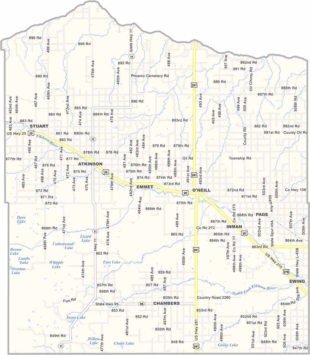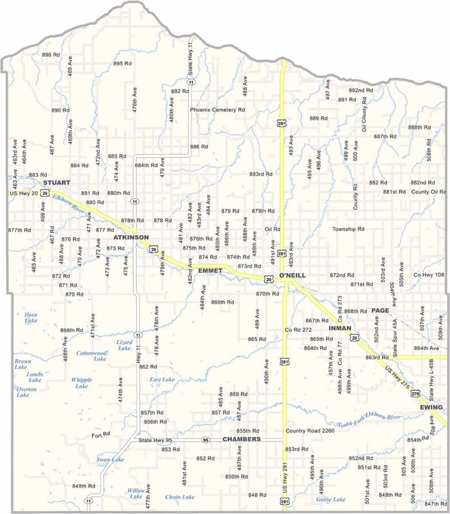
Holt County Map, Nebraska

Holt County, Nebraska

Holt County is located in north-central Nebraska. It’s larger than Rhode Island, believe it or not—actually about twice the size.

The Niobrara River runs along its northern border. O’Neill serves as the county seat and calls itself the Irish Capital of Nebraska. A large green shamrock is even painted right on the main street.

Ranching is a major part of the local economy. The Sandhills cover a large portion of the county, creating a unique landscape of grass-covered dunes stretching as far as the eye can see. People here are friendly but value their personal space. It’s the kind of place where a handshake still means something.
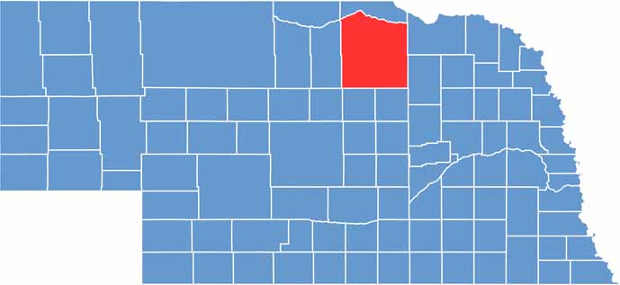

Holt County location map of Nebraska
CategoryDetails
County NameHolt County
County SeatO’Neill
EtymologyNamed after Joseph Holt, a U.S. politician and postmaster
Cities, Towns, and CommunitiesO’Neill, Atkinson, Stuart, Ewing, Page, Emmet, Chambers, Inman
Interstates and HighwaysUS 20, US 275, NE 11, NE 281
FIPS Code31-089
Total Area (Land and Water)2,418 square miles (Land: 2,412 sq mi, Water: 6 sq mi)
Adjacent Counties (and Direction)Antelope County (East), Boyd County (North), Knox County (East), Wheeler County (South), Garfield County (South), Loup County (Southwest), Rock County (West), Keya Paha County (Northwest)
Time ZoneCentral Time Zone (CT)
StateNebraska
Coordinates42.4584° N, 98.6890° W
Major LandmarksAshfall Fossil Beds State Historical Park, O’Neill City Park, Holt County Historical Museum
PopulationApproximately 10,100
Scroll to Top