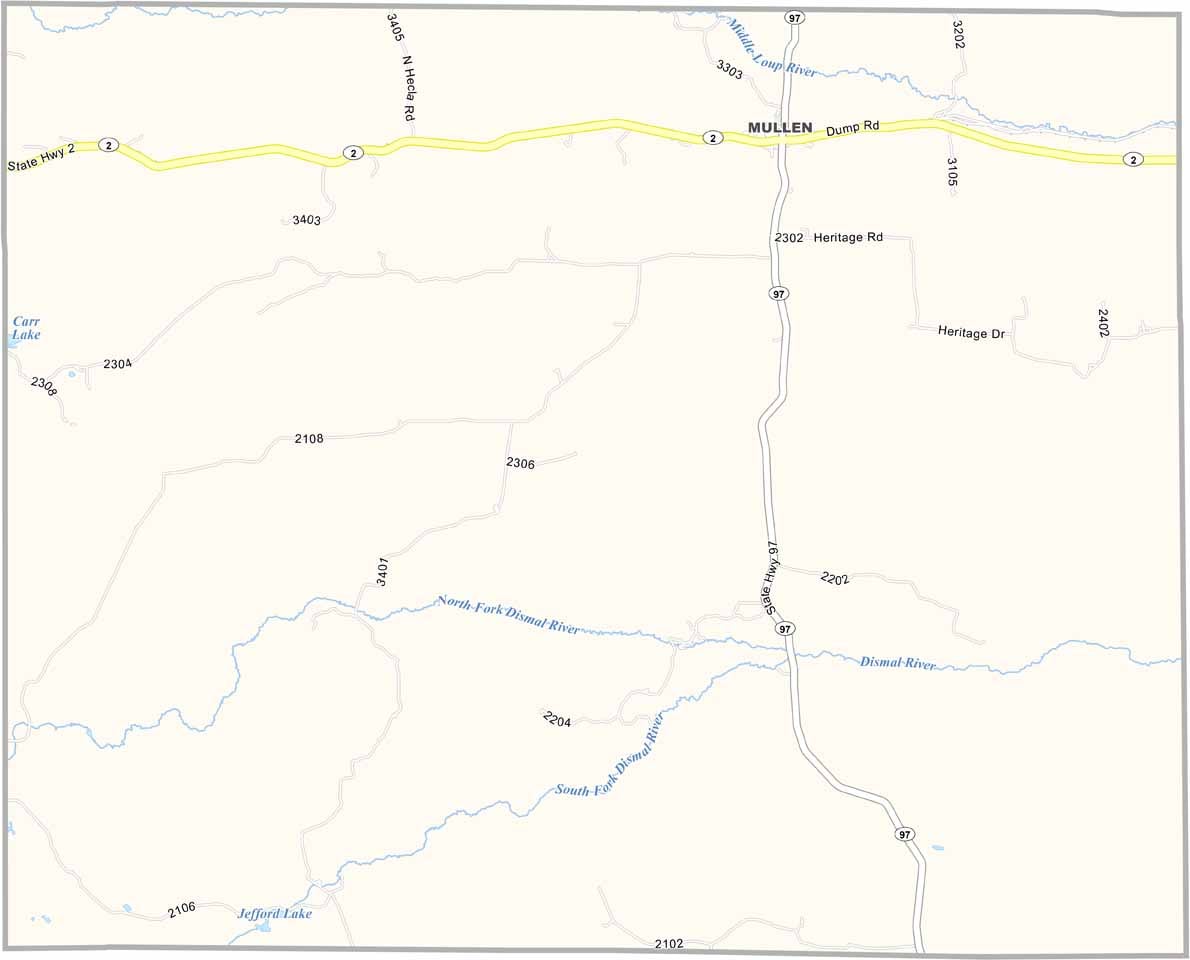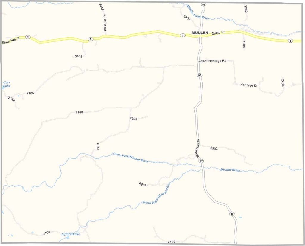
Hooker County Map, Nebraska

Hooker County, Nebraska

Hooker County is located in the Sandhills of north-central Nebraska. It’s tiny—really tiny—and is one of the least populated counties in the state.

Mullen is the only town and is home to most of the county’s residents. Cattle ranching is the main industry here. The landscape is a sea of grass-covered sand dunes, creating a unique kind of beauty. It can feel a little lonely, though.

Locals take pride in the annual Sandhills Open Road Challenge, a race where sports cars speed down Highway 2 at ridiculous speeds. It seems a little out of place, if you ask me, but it brings in tourists. The Middle Loup River also runs through the county, offering good fishing for those who enjoy it.
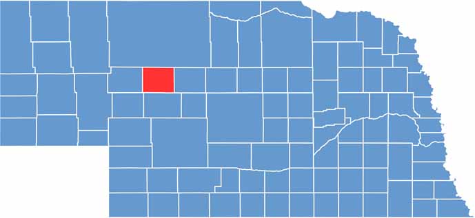

Hooker County location map of Nebraska
CategoryDetails
County NameHooker County
County SeatMullen
EtymologyNamed after John Hooker, a U.S. Army general
Cities, Towns, and CommunitiesMullen, Whitman
Interstates and HighwaysUS 2, NE 97
FIPS Code31-091
Total Area (Land and Water)722 square miles (Land: 721 sq mi, Water: 1 sq mi)
Adjacent Counties (and Direction)Cherry County (North), Thomas County (East), McPherson County (South), Arthur County (Southwest), Grant County (West)
Time ZoneMountain Time Zone (MT)
StateNebraska
Coordinates41.9152° N, 101.0515° W
Major LandmarksSandhills Heritage Museum, Nebraska National Forest (Bessey Ranger District nearby)
PopulationApproximately 700
Scroll to Top