
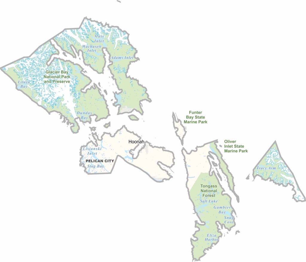
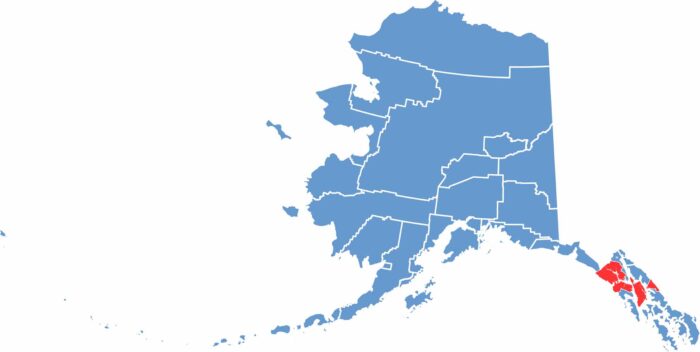
Hoonah-Angoon Census Area is located in Southeast Alaska and covers parts of Chichagof and Admiralty islands. Around 2,000 people live in the area, mostly in small communities such as Hoonah and Angoon.
The region is part of the Tongass National Forest and features numerous mountains and forests. Fishing and tourism are now the main industries. Hoonah has a cruise ship dock that brings visitors to the area during the summer.
Angoon is known for its strong Tlingit culture. Whale watching is also popular, with humpback whales often seen in the nearby waters. The climate is milder than in many parts of Alaska, although the area still receives plenty of rain. Despite its remote location, the region has a rich history and culture.
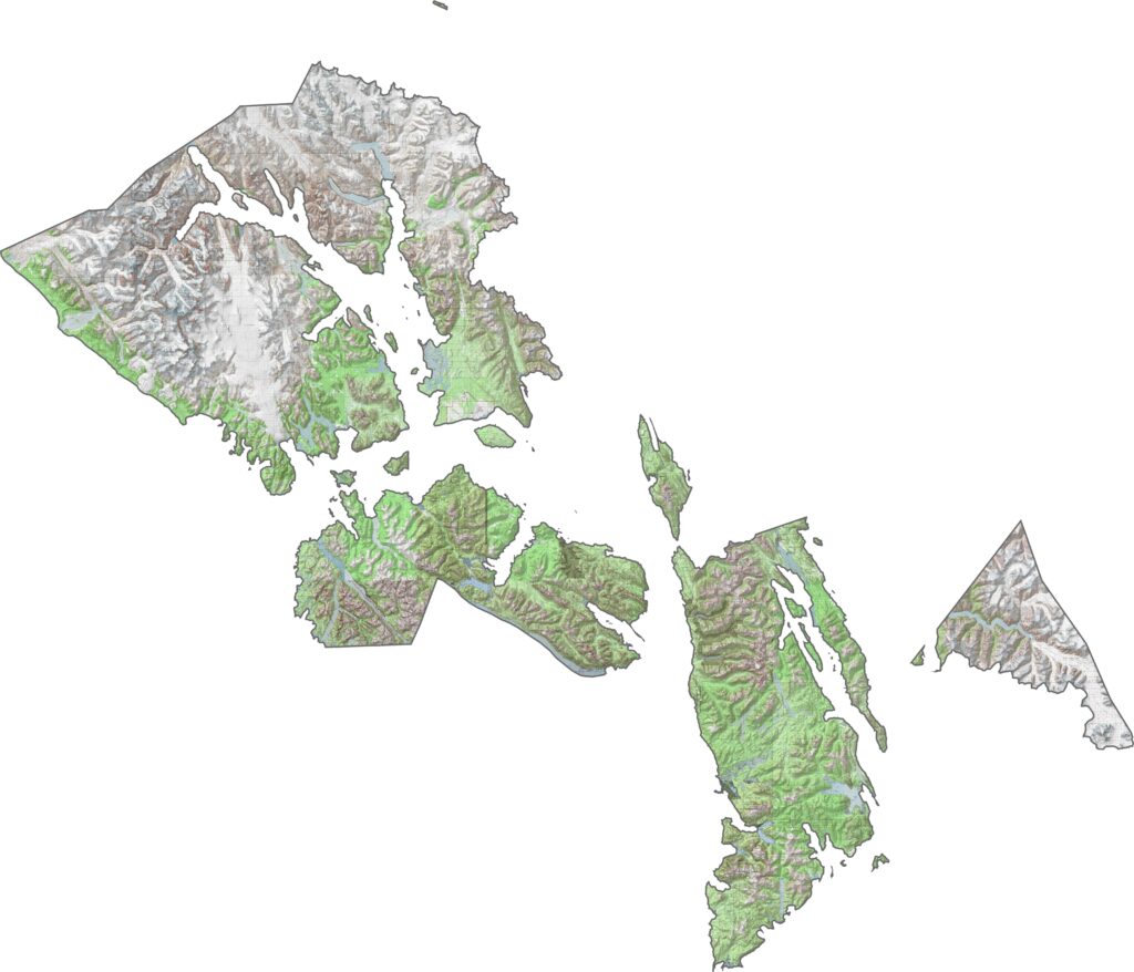
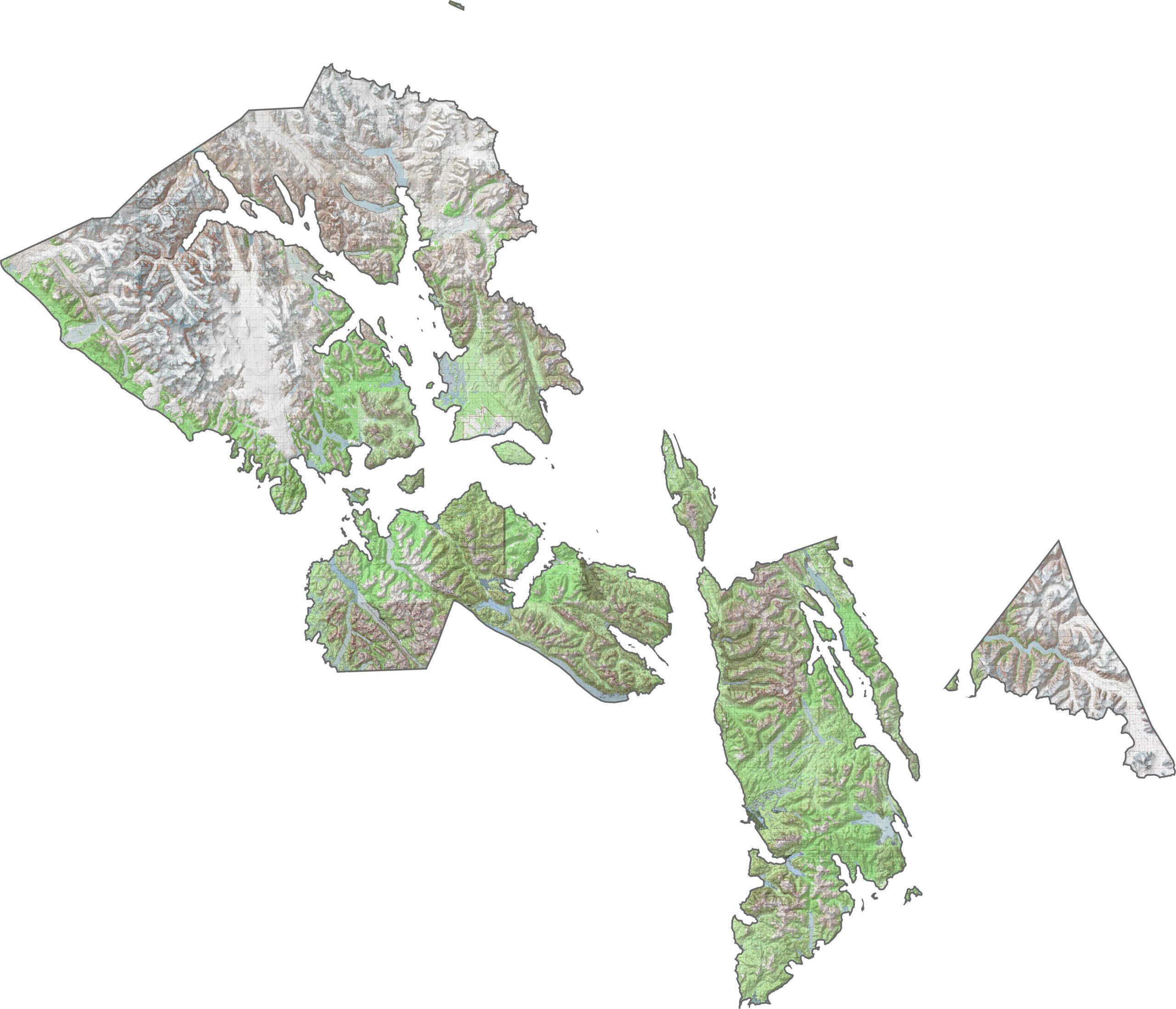
This topographic map highlights Hoonah-Angoon’s rugged island landscape, with mountains rising directly from the sea. The contour lines reveal steep, forested slopes and narrow valleys throughout this remote region.
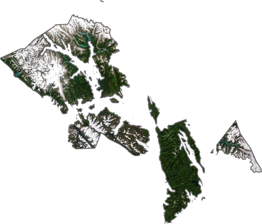
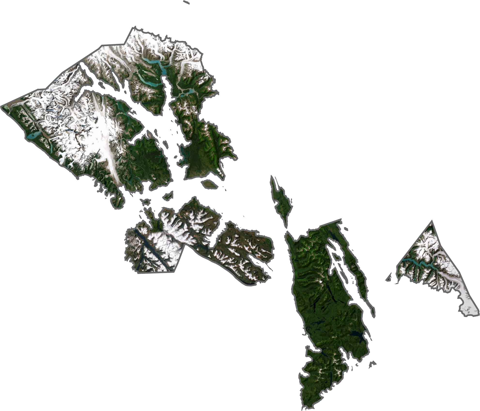
This satellite map shows Hoonah-Angoon’s remote, forest-covered islands and surrounding waterways. Small communities are scattered throughout the rugged wilderness landscape.
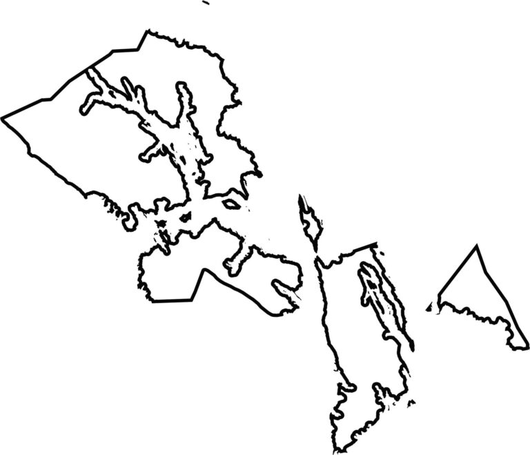
This blank map outlines Hoonah-Angoon’s complex island geography, with irregular coastlines and numerous scattered islands. The shape reflects the fragmented and remote nature of this region.
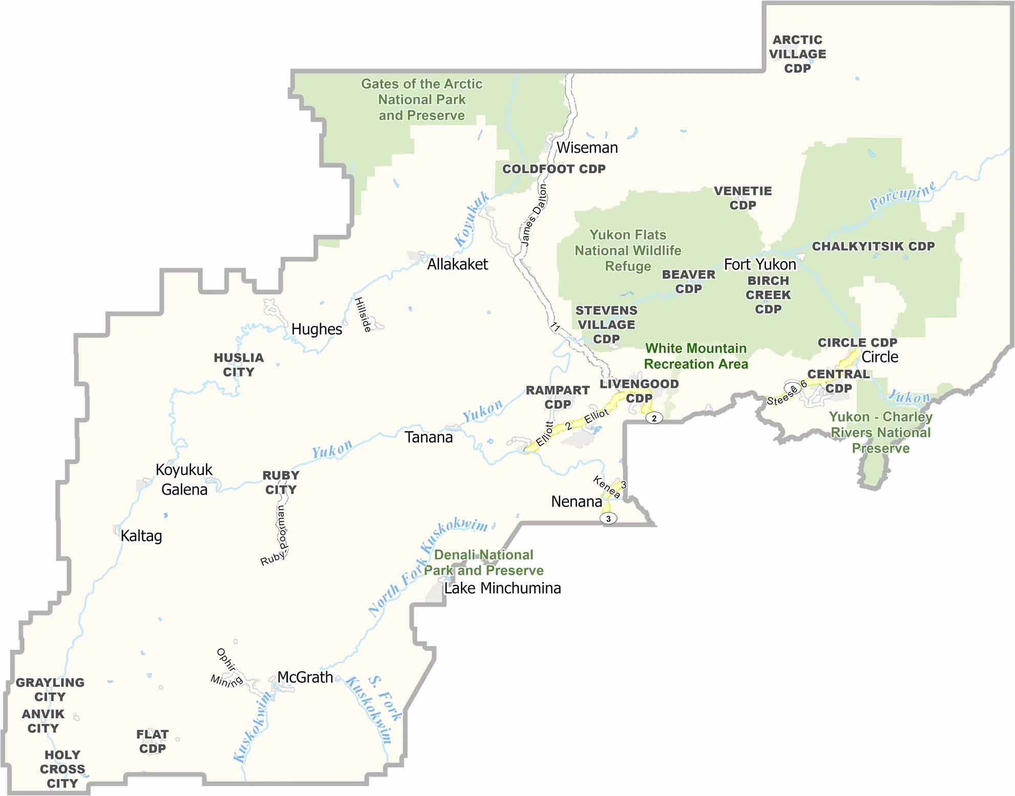
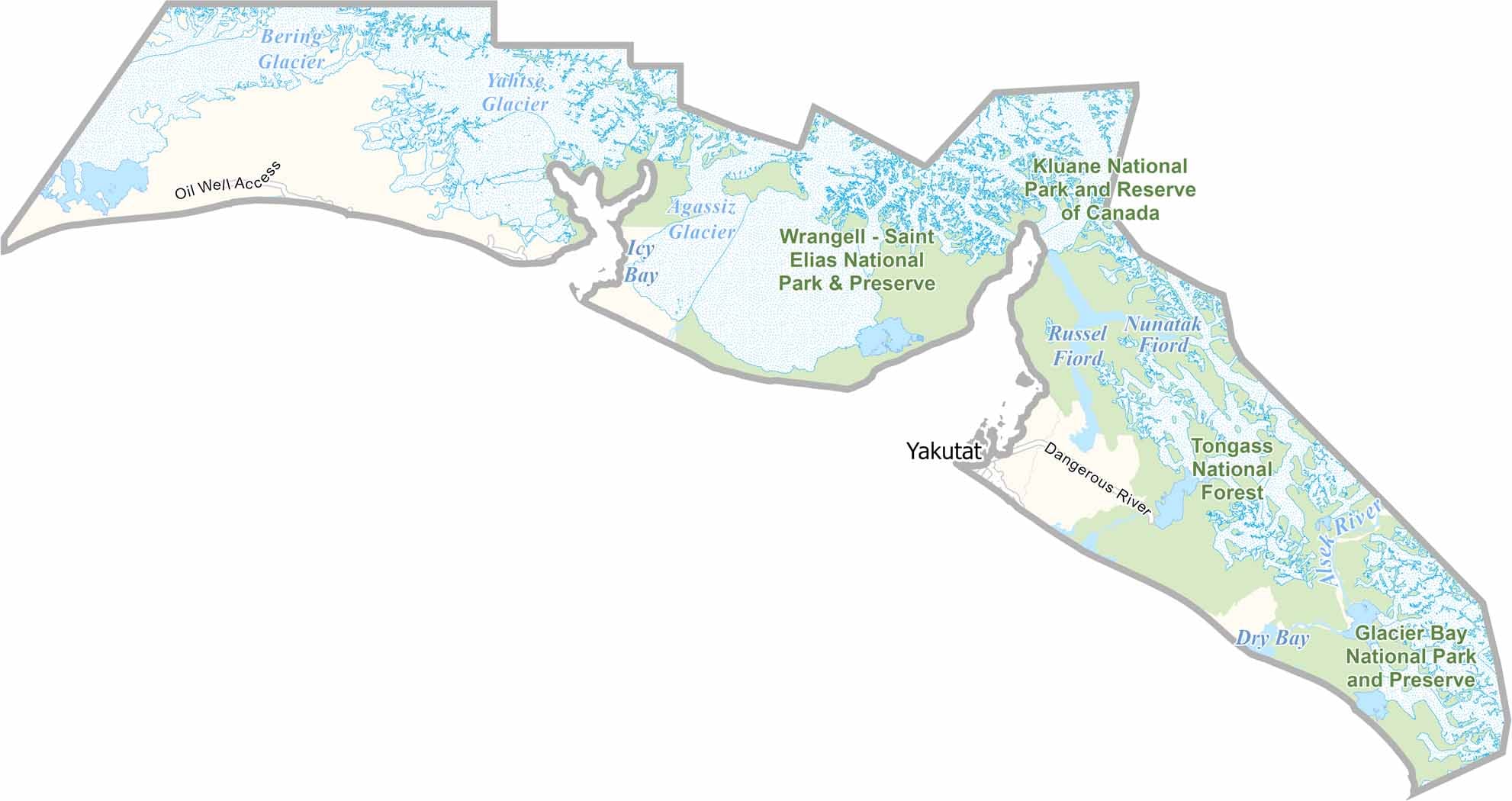
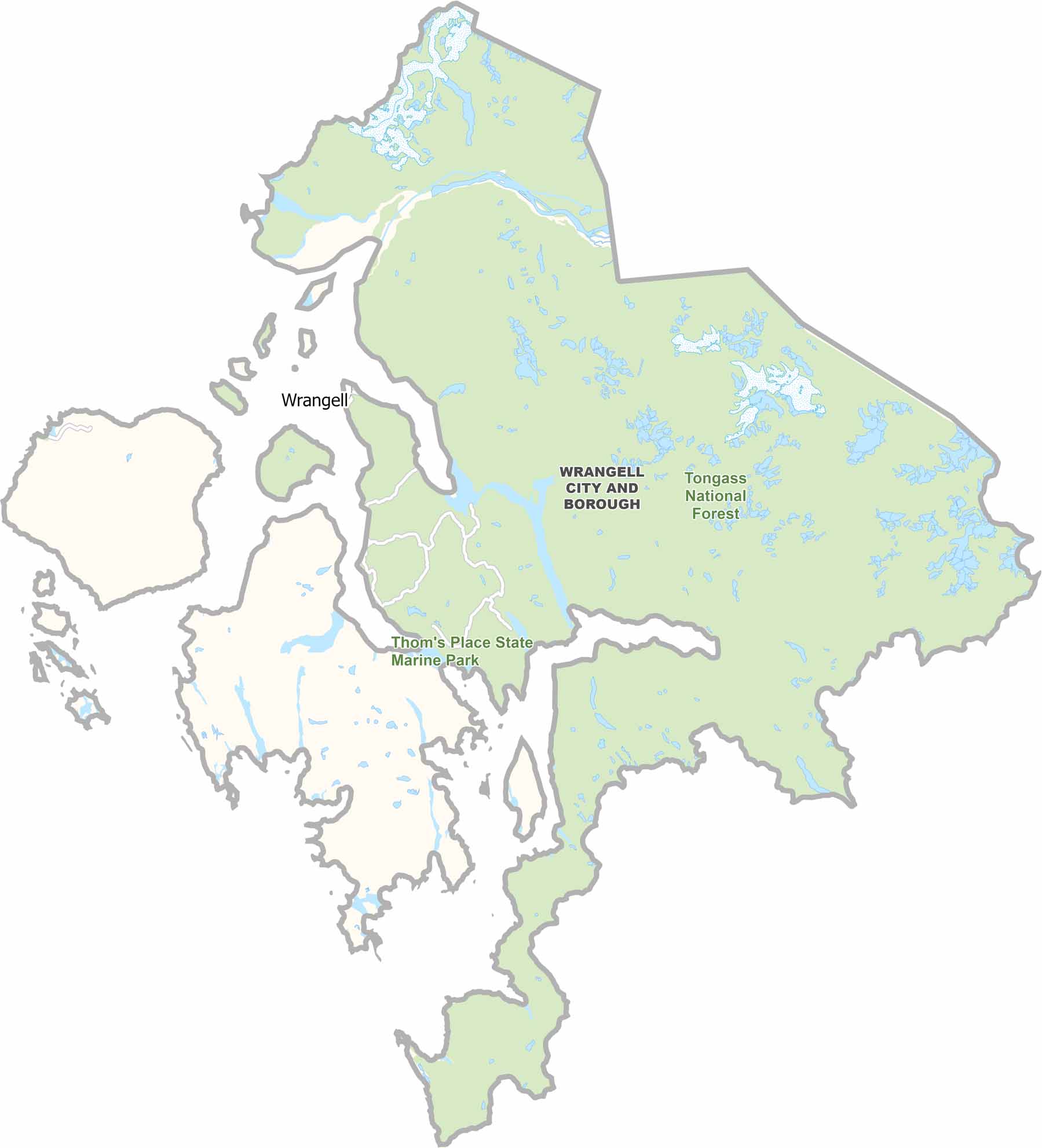
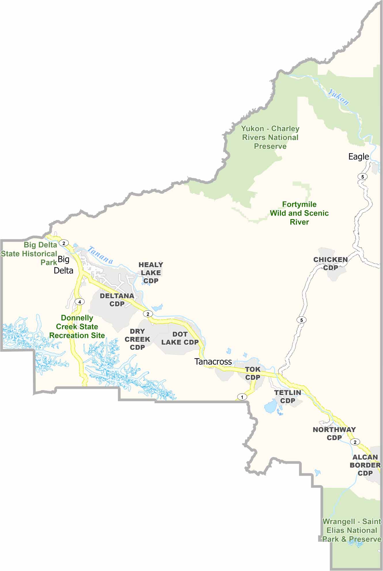
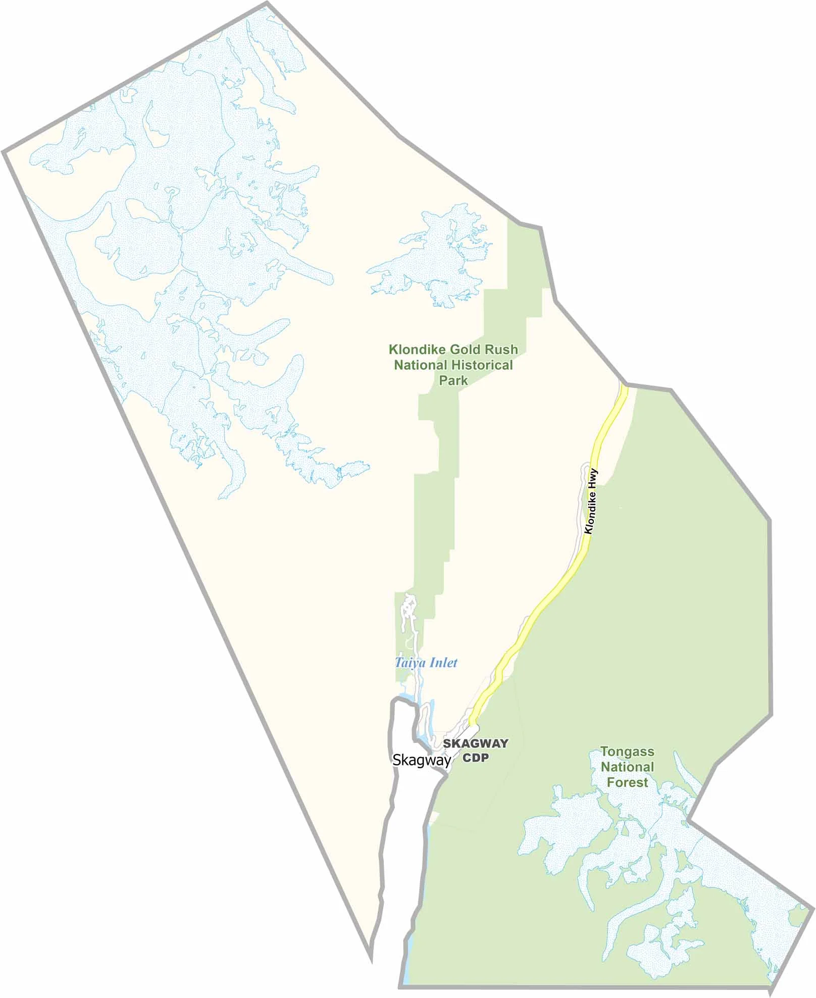
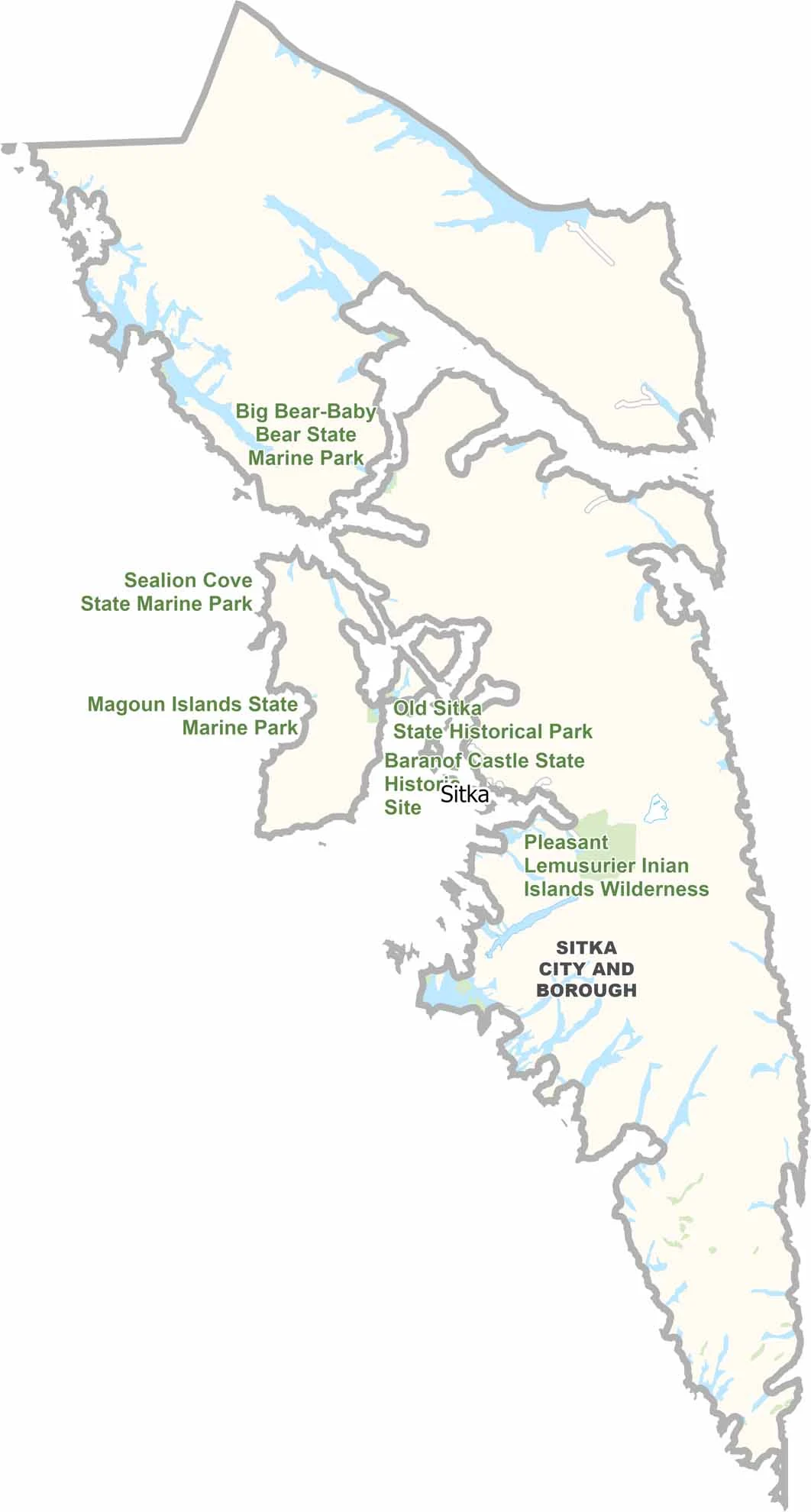
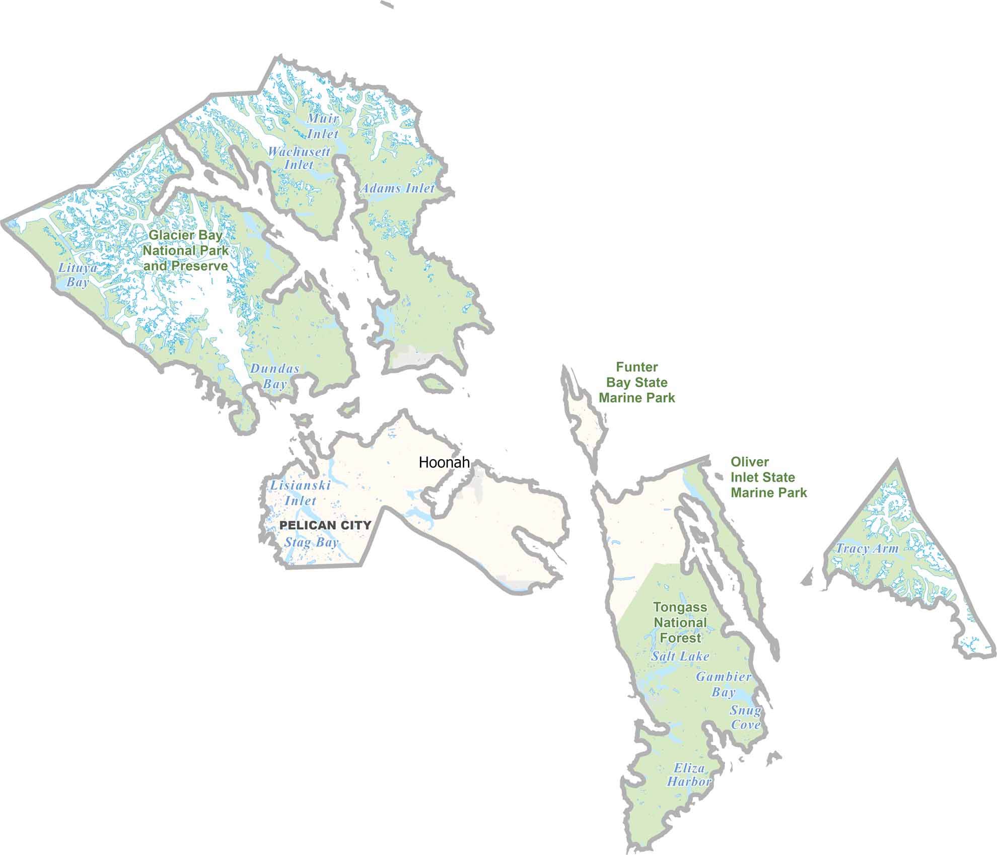

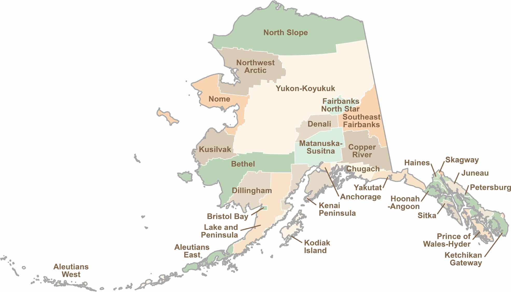
Explore Alaska’s boroughs and census areas with this detailed map, showcasing the state’s vast wilderness, rugged coastlines, and remote communities. Our Alaska Borough Map offers a clear view of the Last Frontier, highlighting its diverse landscapes and hard-to-reach regions.