
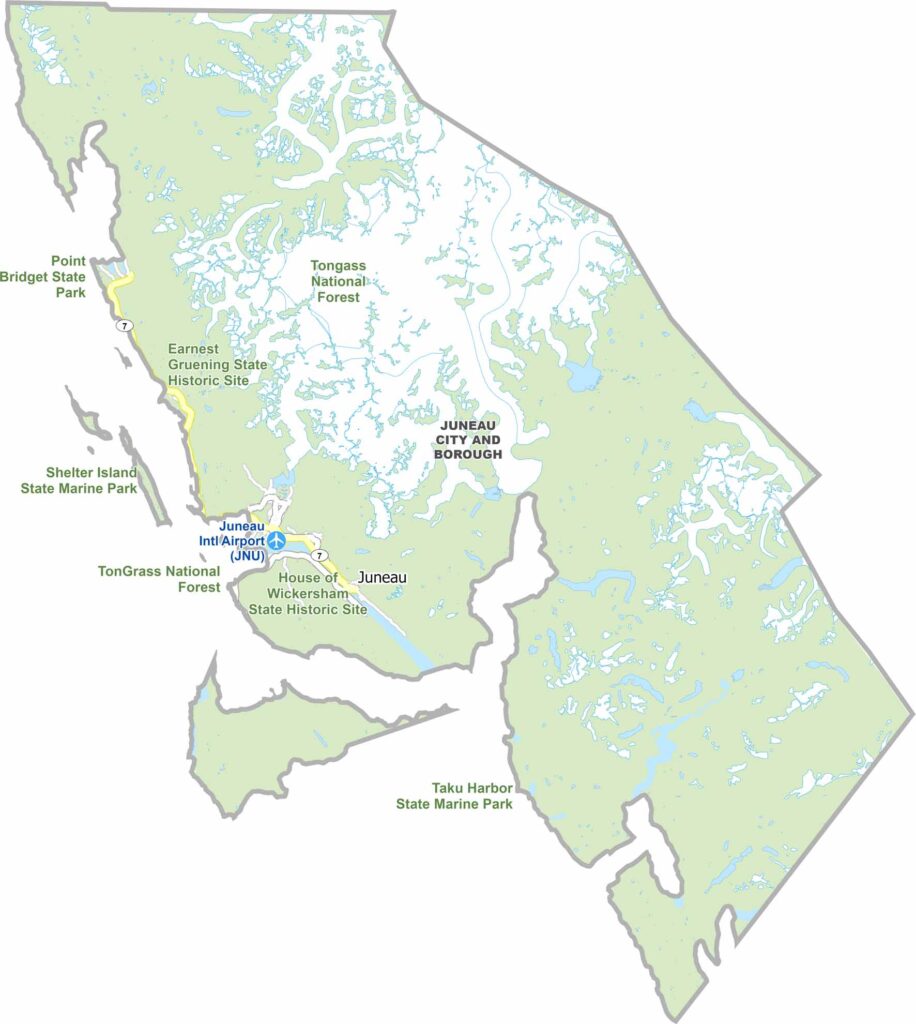
Juneau City and Borough is the capital of Alaska, located in Southeast Alaska and surrounded by mountains and water. Around 32,000 people live here, making it the third-largest place in the state.
The city is divided into downtown and the valley, which are connected by a narrow strip of land. Government employment is a major part of the local economy, along with tourism and fishing.
Juneau receives a lot of rainfall and has relatively mild temperatures compared to much of Alaska. The Mendenhall Glacier is a popular attraction for visitors, while whale watching is common during the summer. The area has a rich Alaska Native heritage, particularly influenced by Tlingit culture. Despite being the state capital, Juneau still maintains a small-town atmosphere.
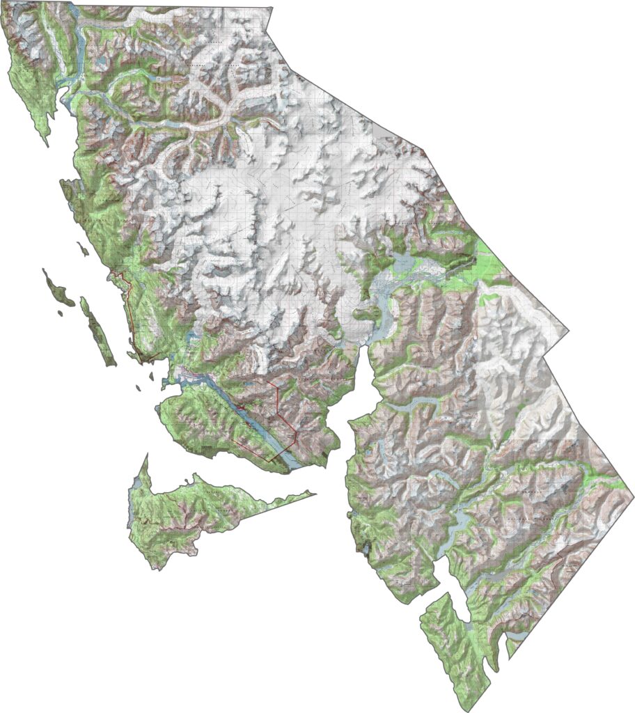
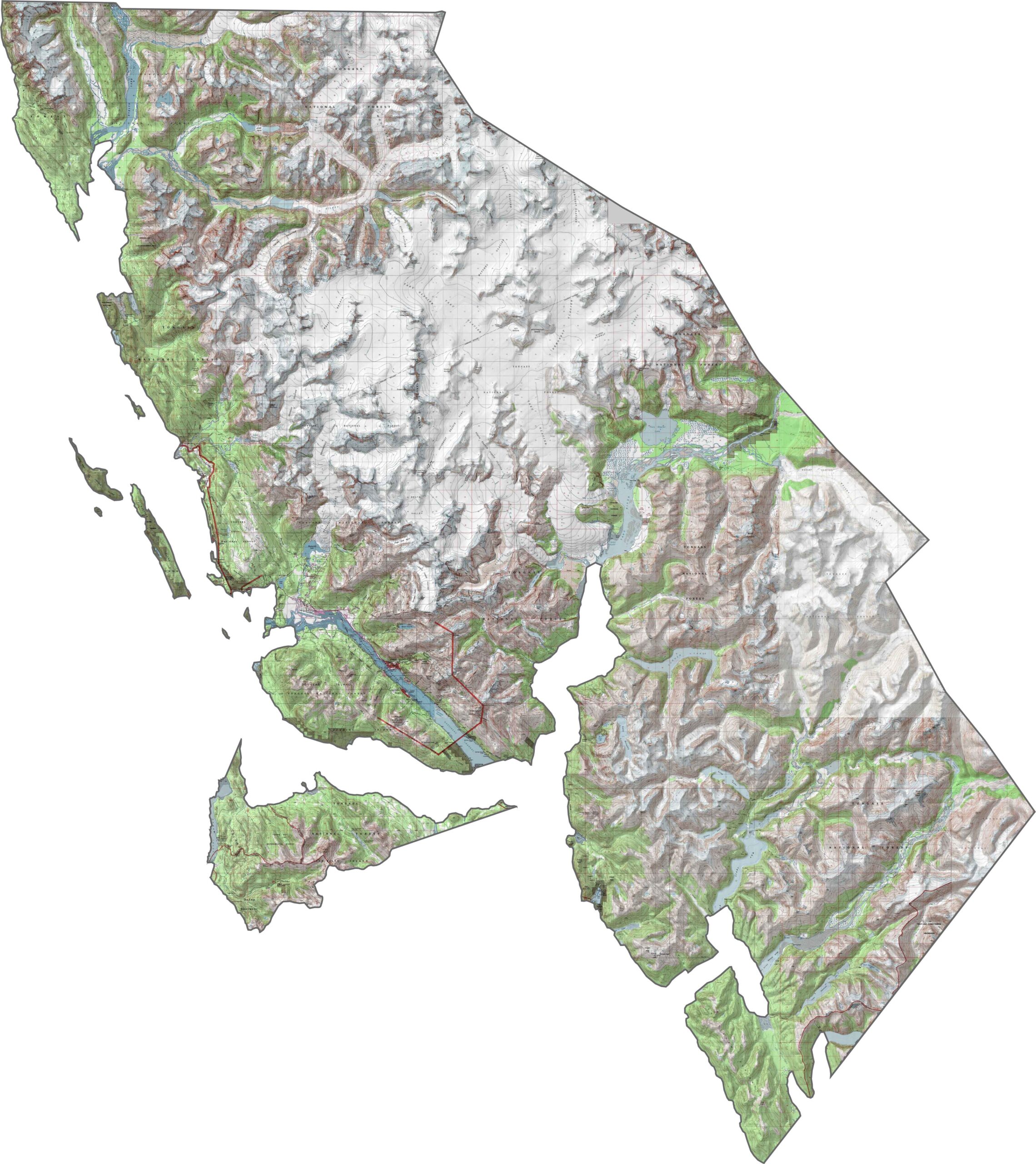
The topographic map of Juneau reveals why Alaska’s capital city is so compact. Steep mountain slopes rise sharply from narrow coastal flatlands, with tightly packed elevation lines showing the dramatic changes in terrain. Try our new zoom tool with the topographic map below.
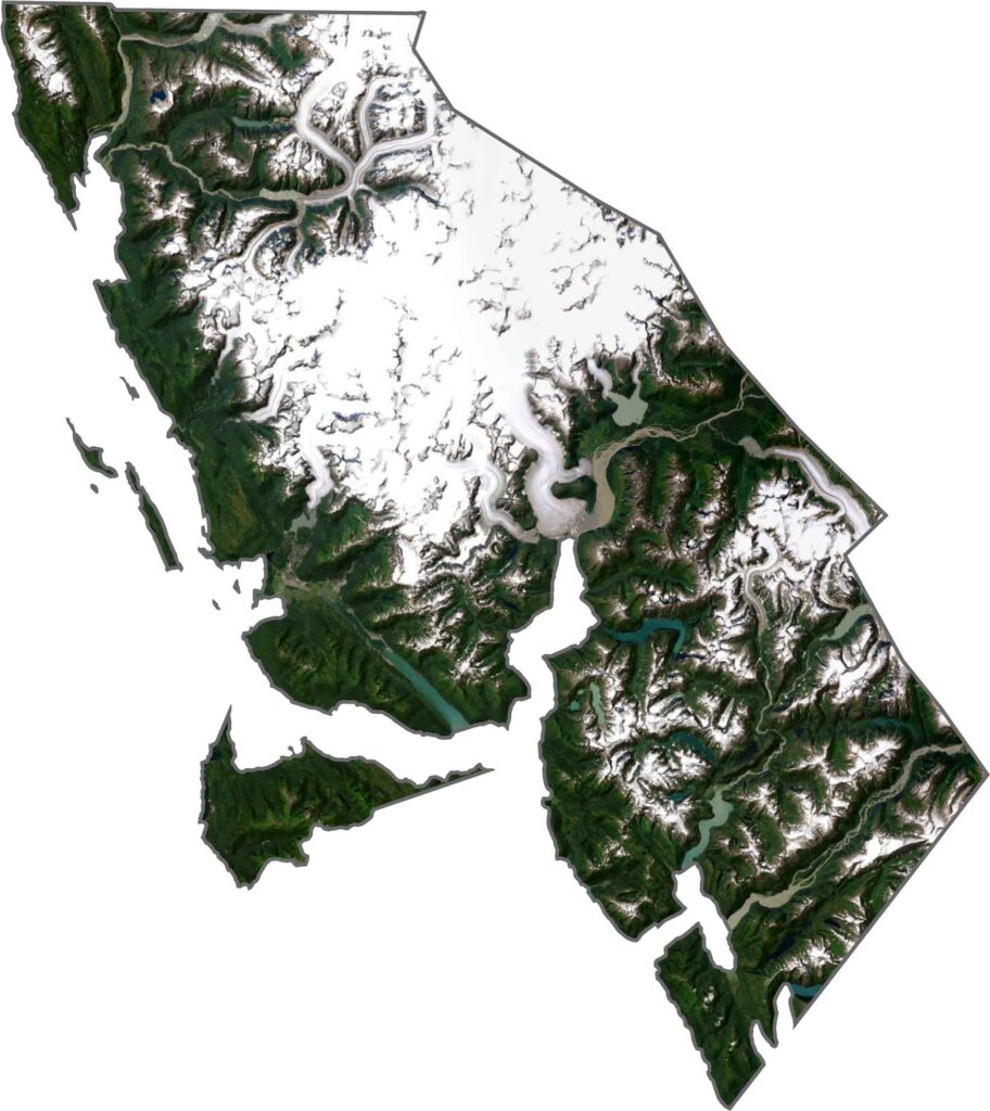
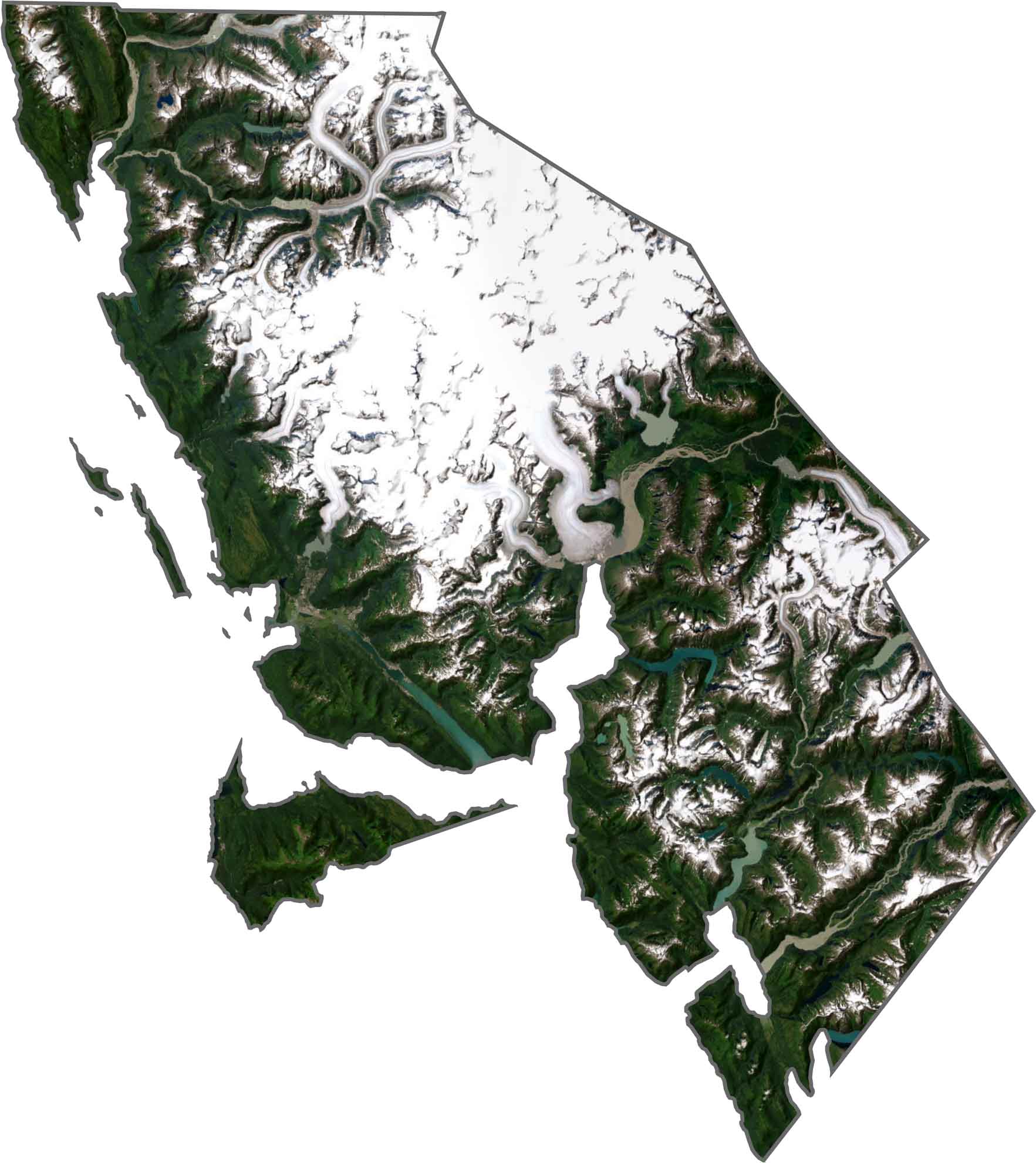
From above, you can see Juneau stretching along the water, with mountains rising dramatically behind the city. Although it is Alaska’s capital, Juneau is uniquely isolated and has no direct road connection to the rest of North America’s highway system.
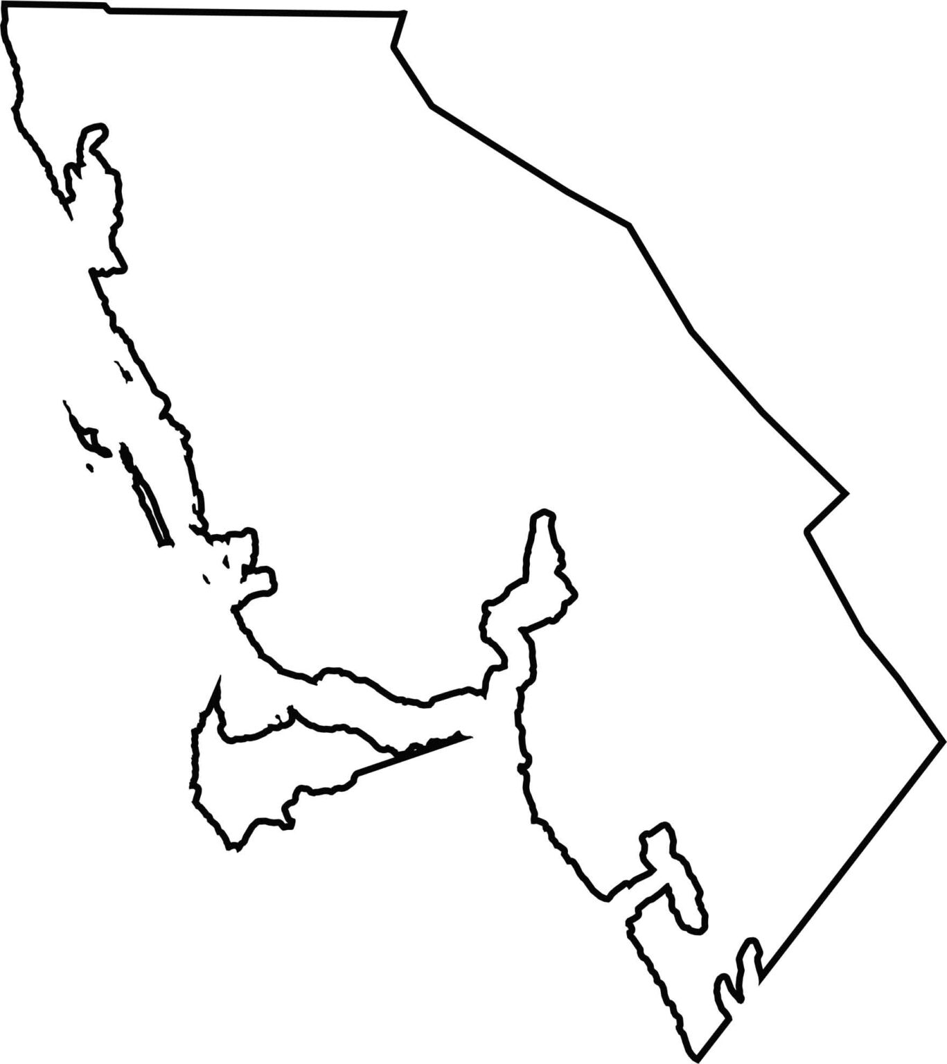
Take a look at this blank map of Juneau, showing its unique borough boundaries. The outline reveals its unusual geography as a coastal capital with territory extending far beyond the city center.
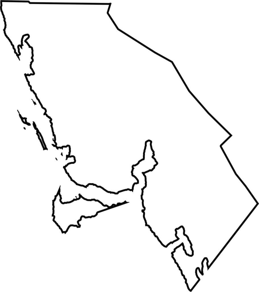
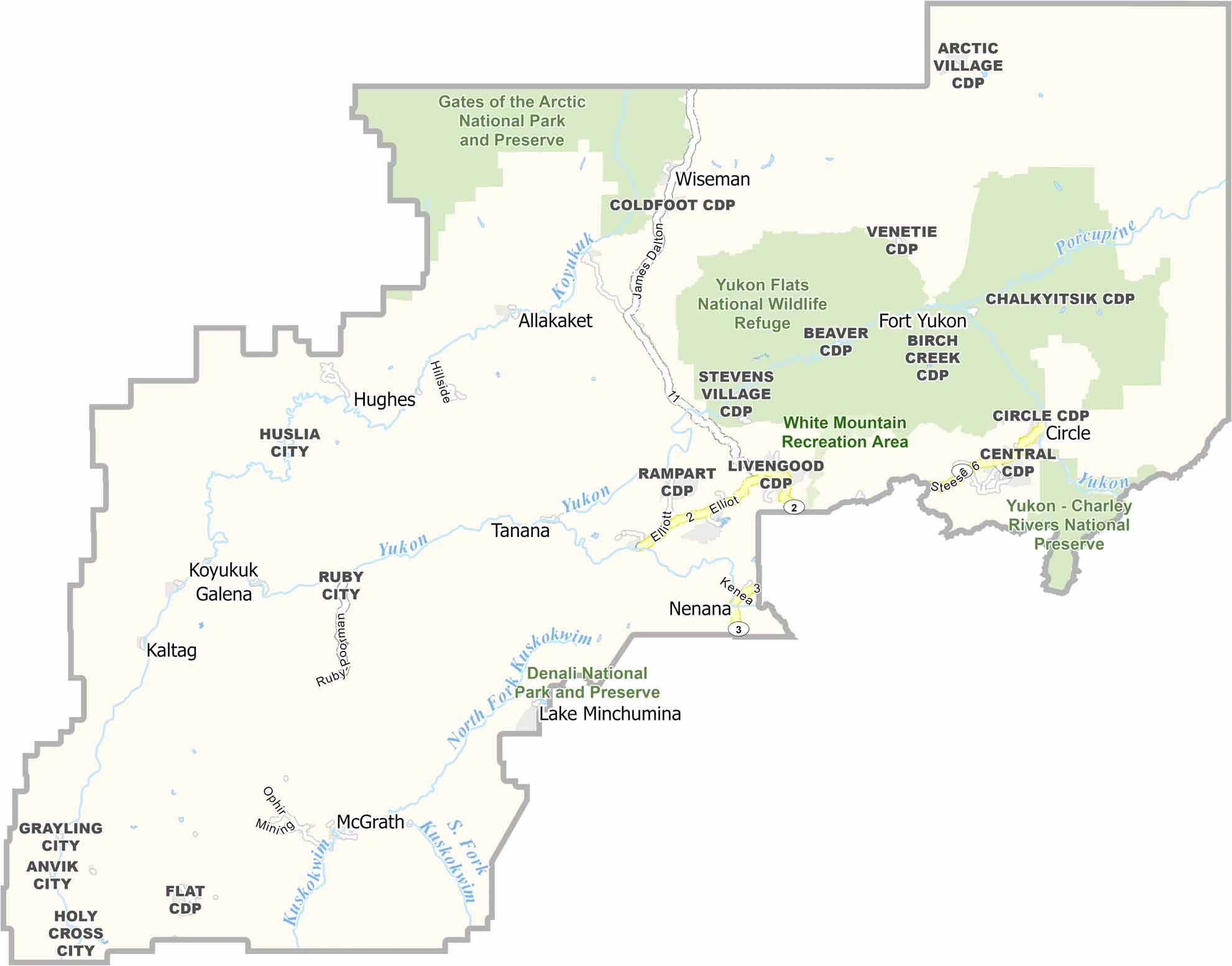
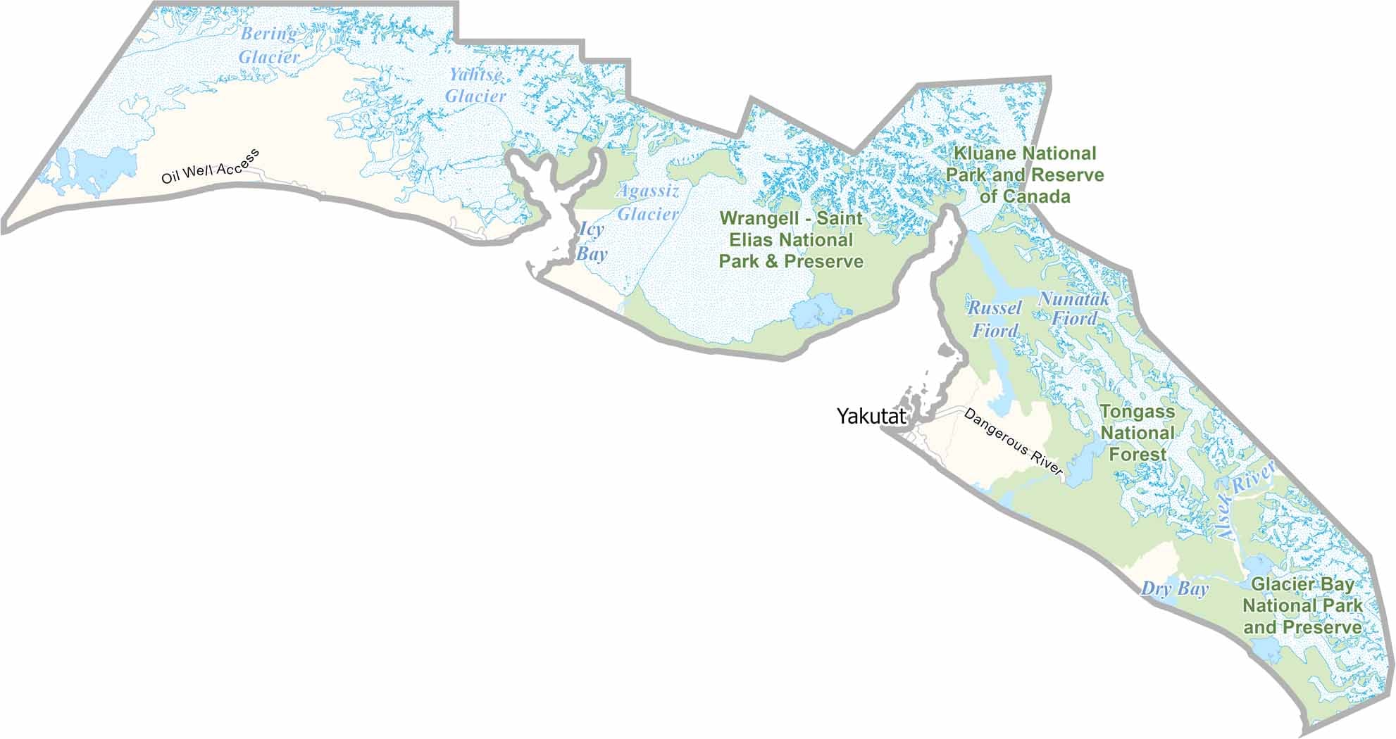
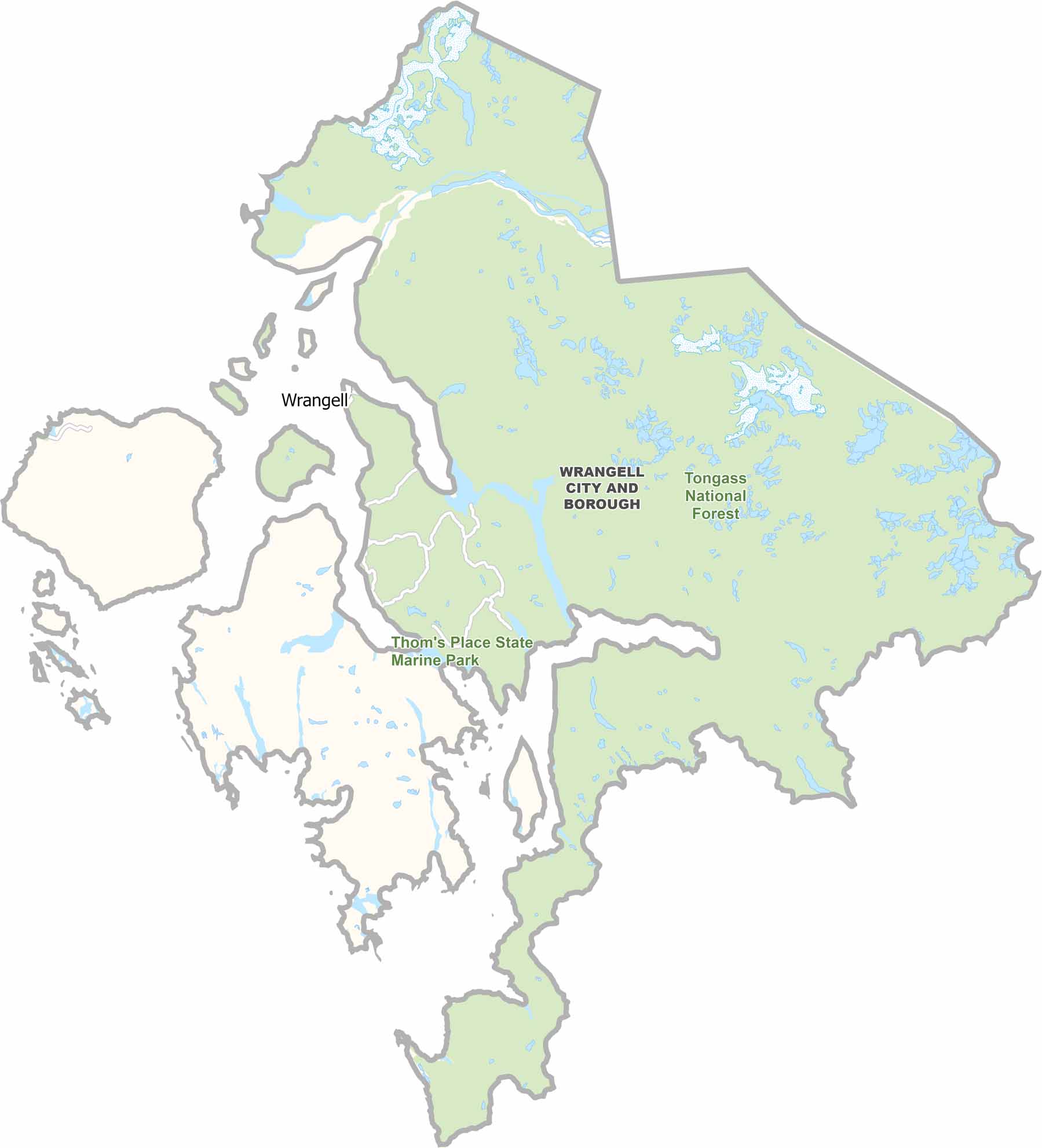
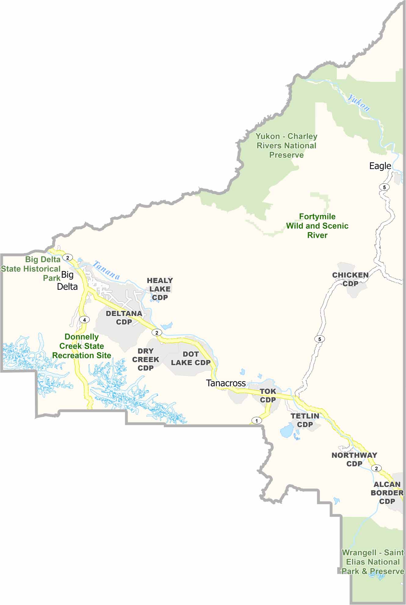
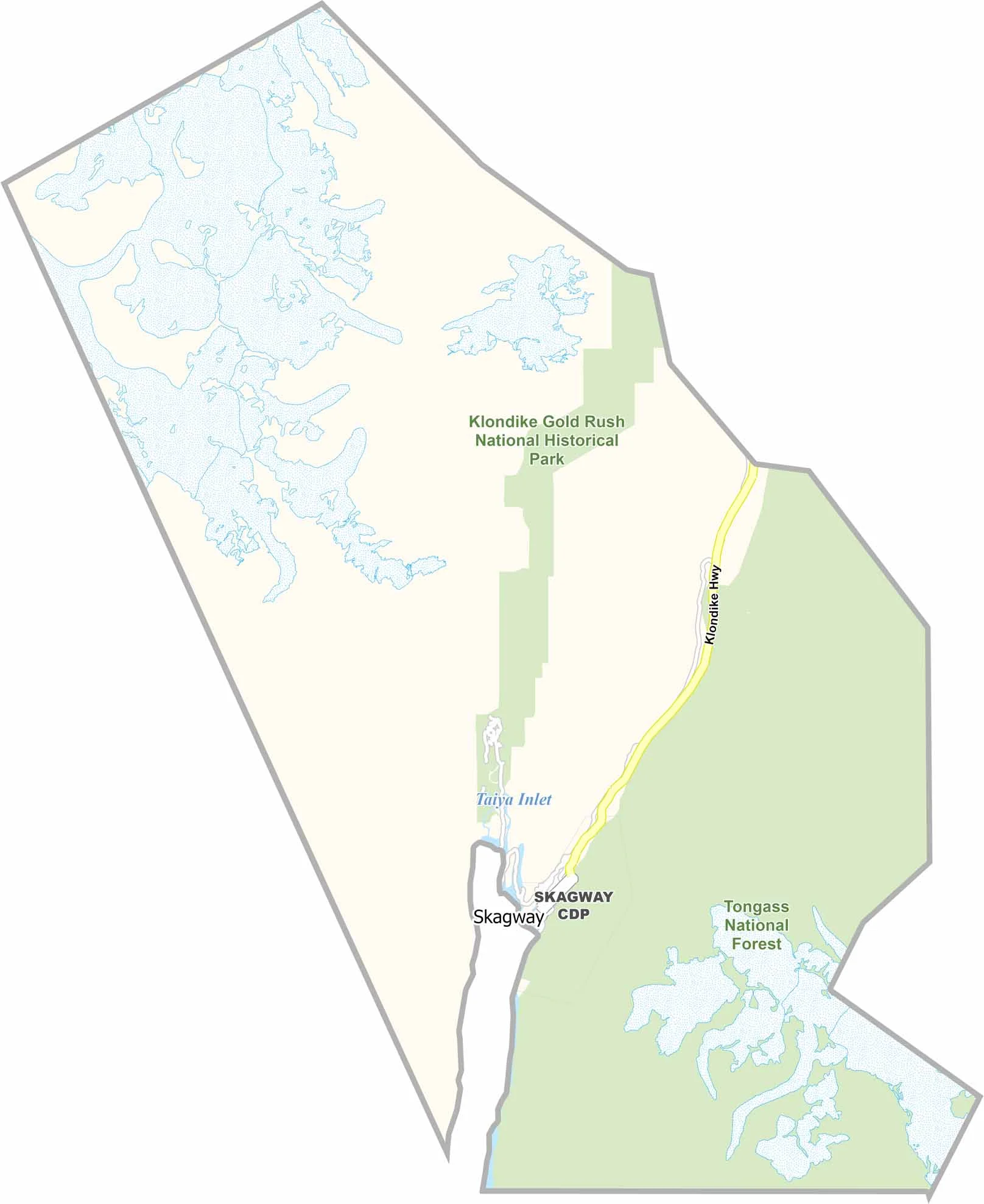
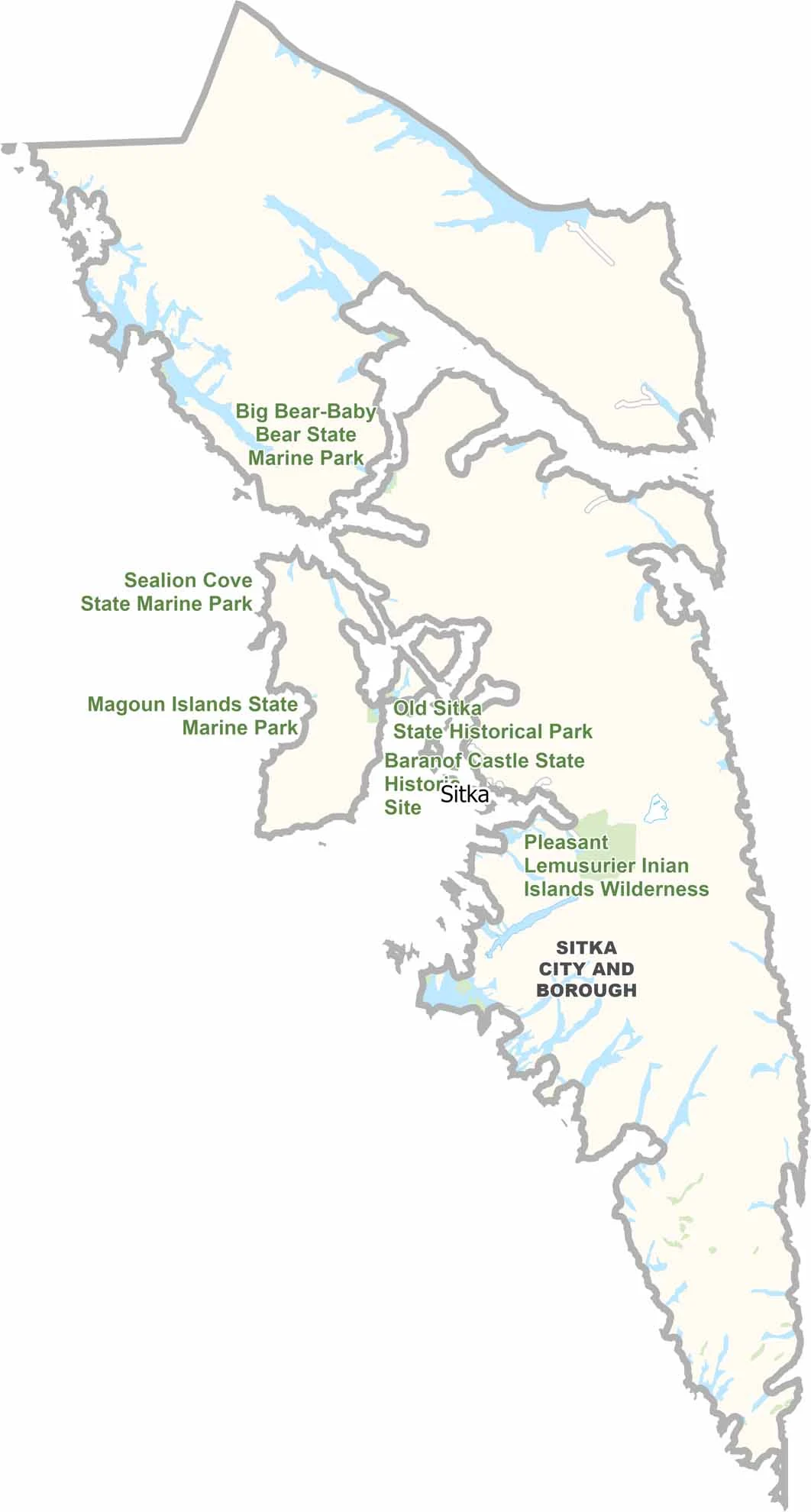
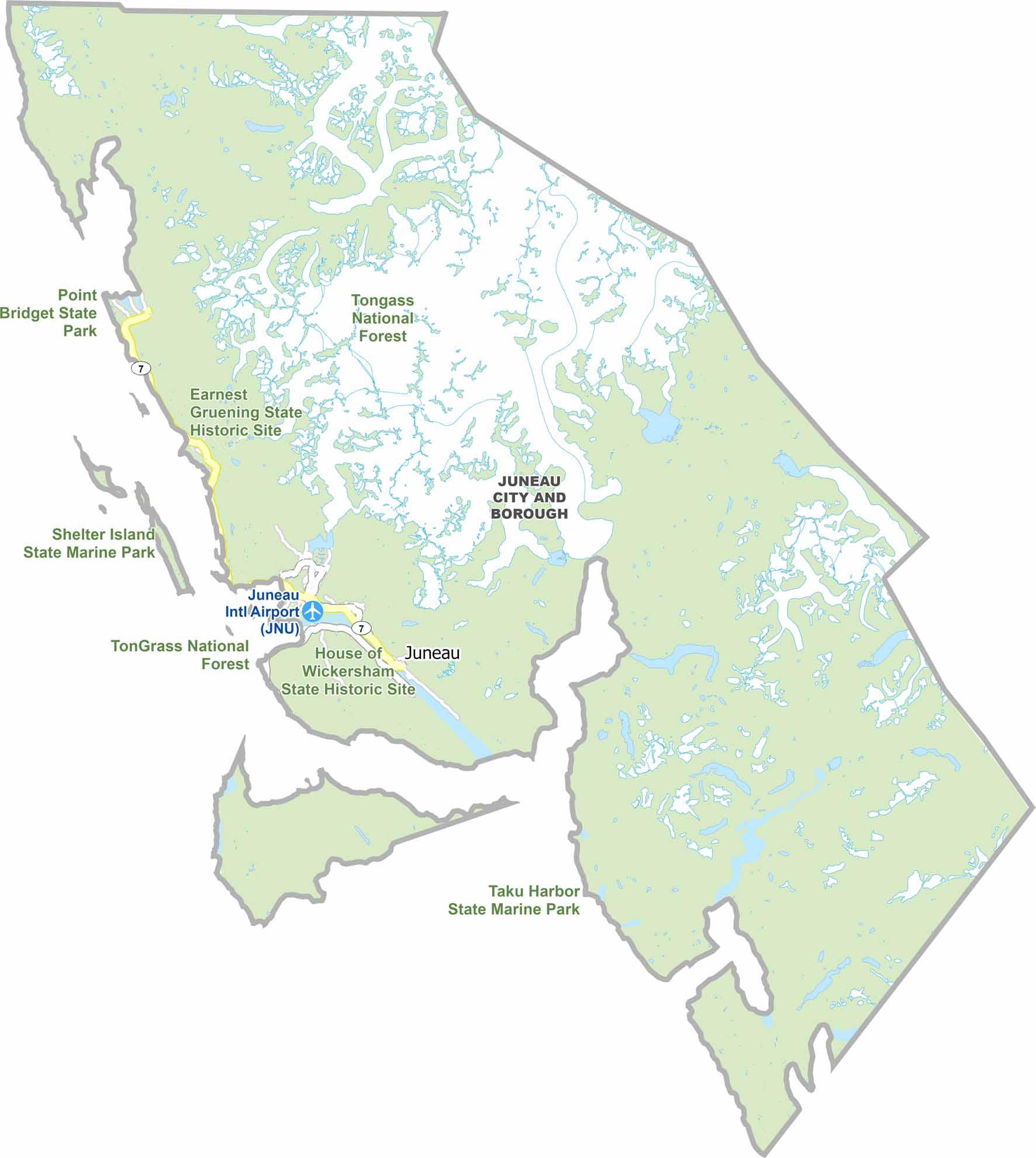
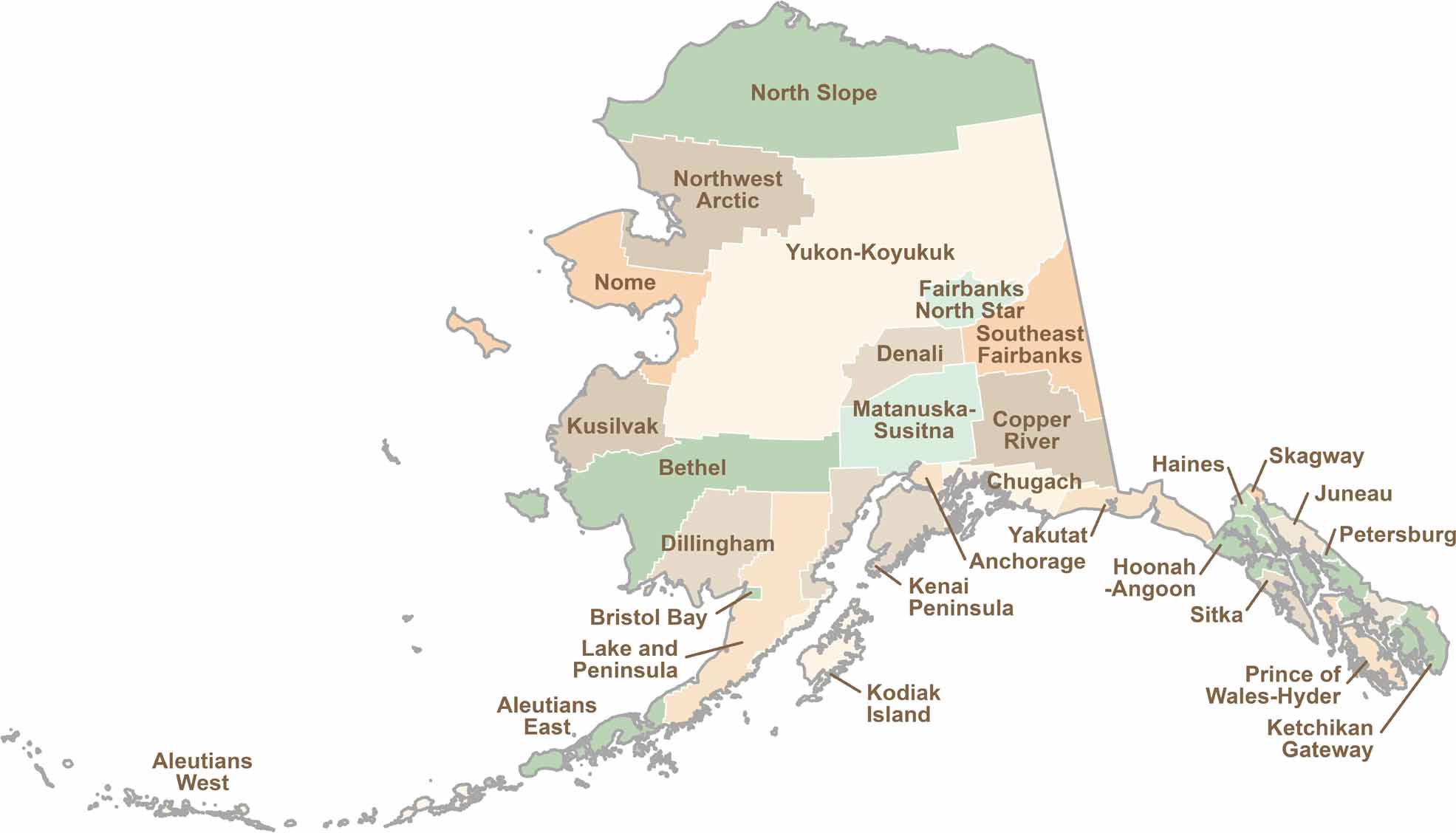
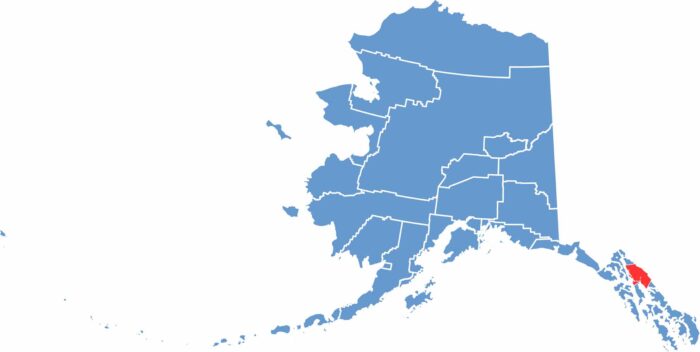
Explore Alaska’s boroughs and census areas with this detailed map, showcasing the state’s vast wilderness, rugged coastlines, and remote communities. Our Alaska Borough Map offers a clear view of the Last Frontier, highlighting its diverse landscapes and hard-to-reach regions.