
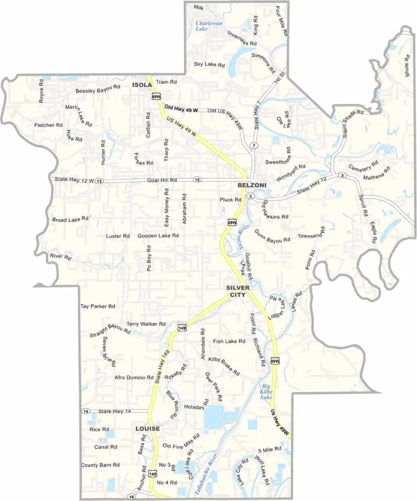
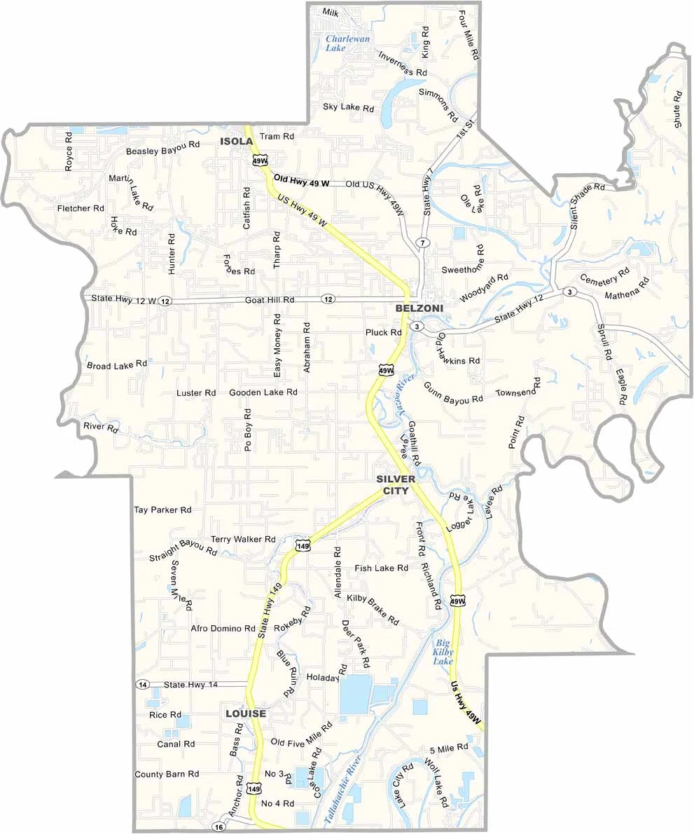
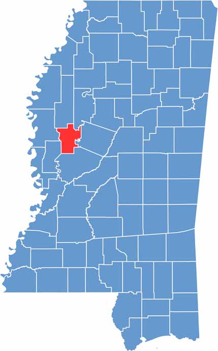
Humphreys County is pure Delta, located in northwestern Mississippi where the land is flat and cotton fields stretch across the landscape. The area has experienced its share of floods and droughts over the years.
Belzoni serves as the county seat and proudly calls itself the Catfish Capital of the World. The Yazoo River winds through the county, supporting the rich farmland surrounding it.
People here know how to work hard and enjoy themselves, too. Blues music is deeply rooted in the area, with local musicians still performing in juke joints on Saturday nights. The sunsets over the fields are hard to beat in Humphreys County.

Mississippi Counties
Rankin County Map Download Mississippi – Outline Map and Blank Map

Mississippi Counties
Madison County Map Download Mississippi – Outline Map and Blank Map

Mississippi Counties
Jackson County Map Download Mississippi – Outline Map and Blank Map

Mississippi Counties
Hinds County Map Download Mississippi – Outline Map and Blank Map

Mississippi Counties
Harrison County Map Download Mississippi – Outline Map and Blank Map

Mississippi Counties