
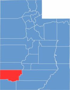
Iron County sits in southwestern Utah, where red rocks tell a story. The landscape ranges from desert valleys to alpine forests, giving the county plenty of variety. It got its name from the iron ore deposits discovered by Mormon settlers.
Cedar City, the county seat, is a cultural hub known for its Shakespeare Festival. Step outside town, though, and you’re in cowboy country, where ranchers still work the land much as their great-grandparents did.
These days, tourism is big business. Hikers explore the slot canyons, while skiers hit the slopes at Brian Head. Iron County is where history and outdoor adventure come together.
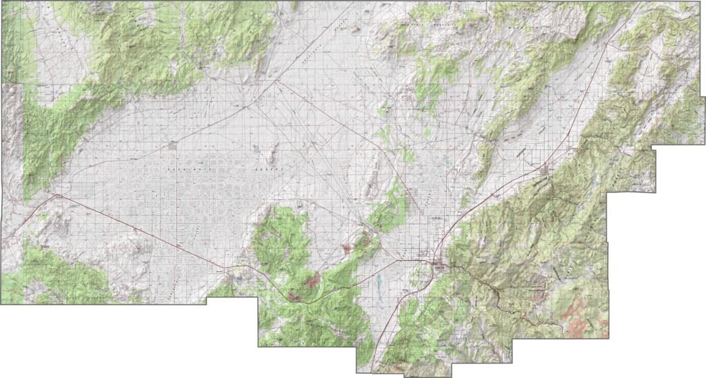
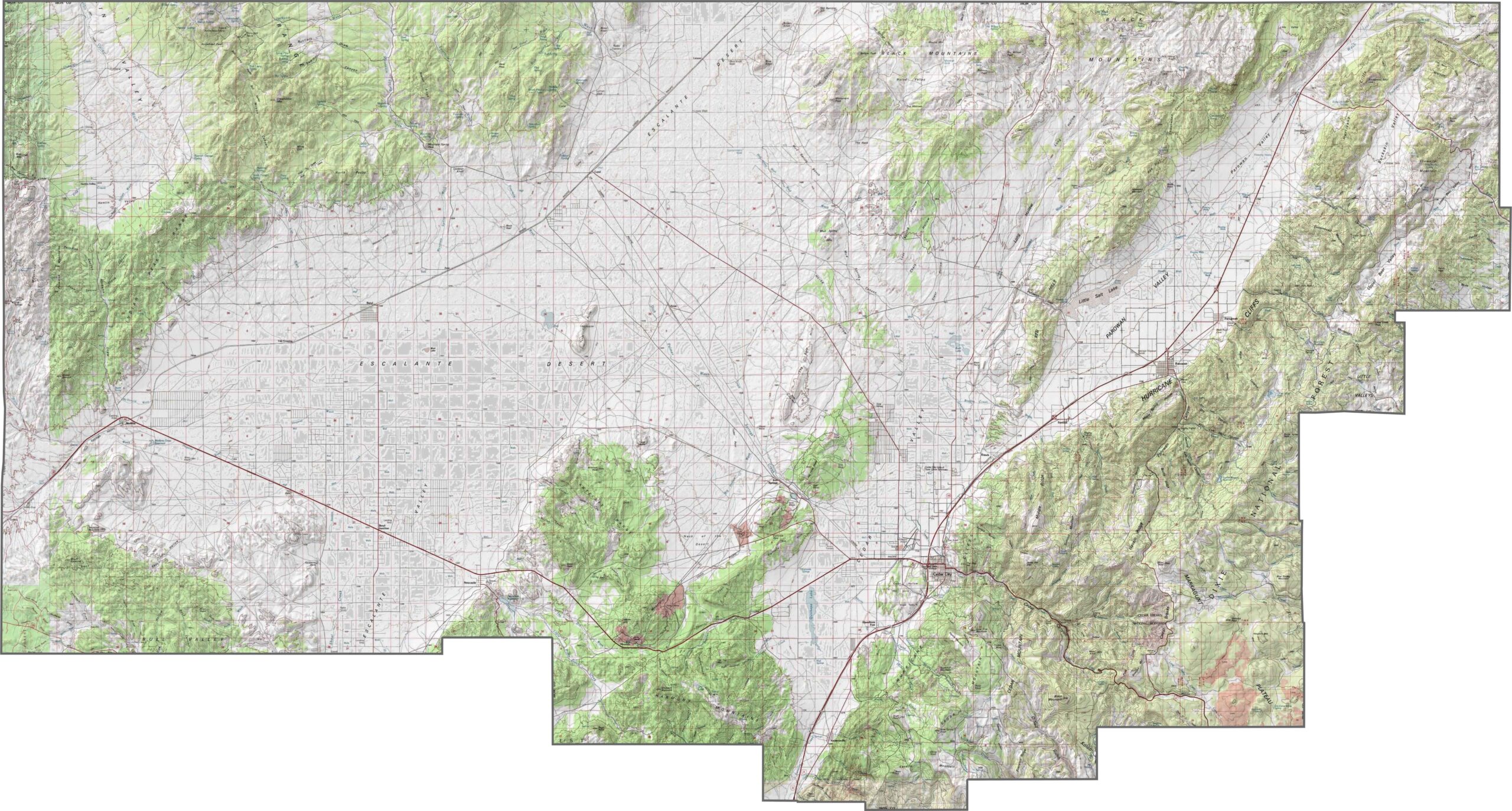
Iron County’s topography blends high plateaus with desert valleys. It sits mostly in the Escalante Desert, with the Hurricane Cliffs occupying the eastern section. Cedar Breaks in the southeast has a massive amphitheater that really steals the show.
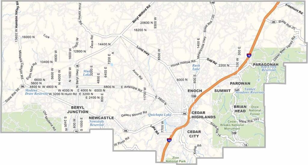
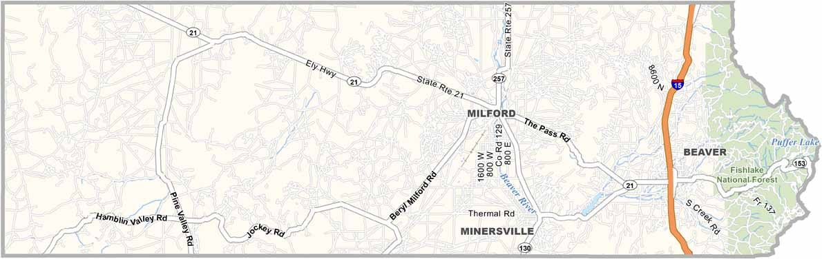
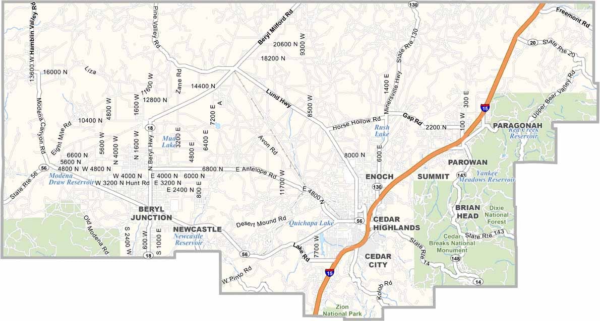
Iron County has a solid road system. I-15 runs north to south, connecting Cedar City to other parts of the state. But drive a little west or east, and things start to thin out. Even so, you’ll find state highways reaching into mountain areas. For a closer look at the highway grid, check out our zoom tool and road map below.
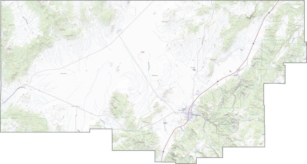
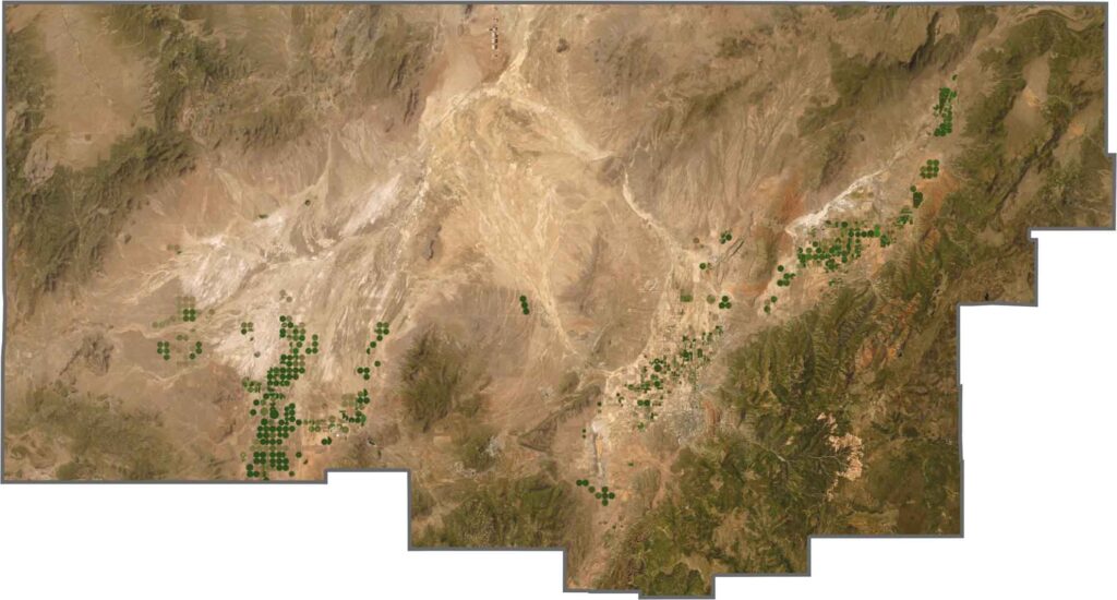
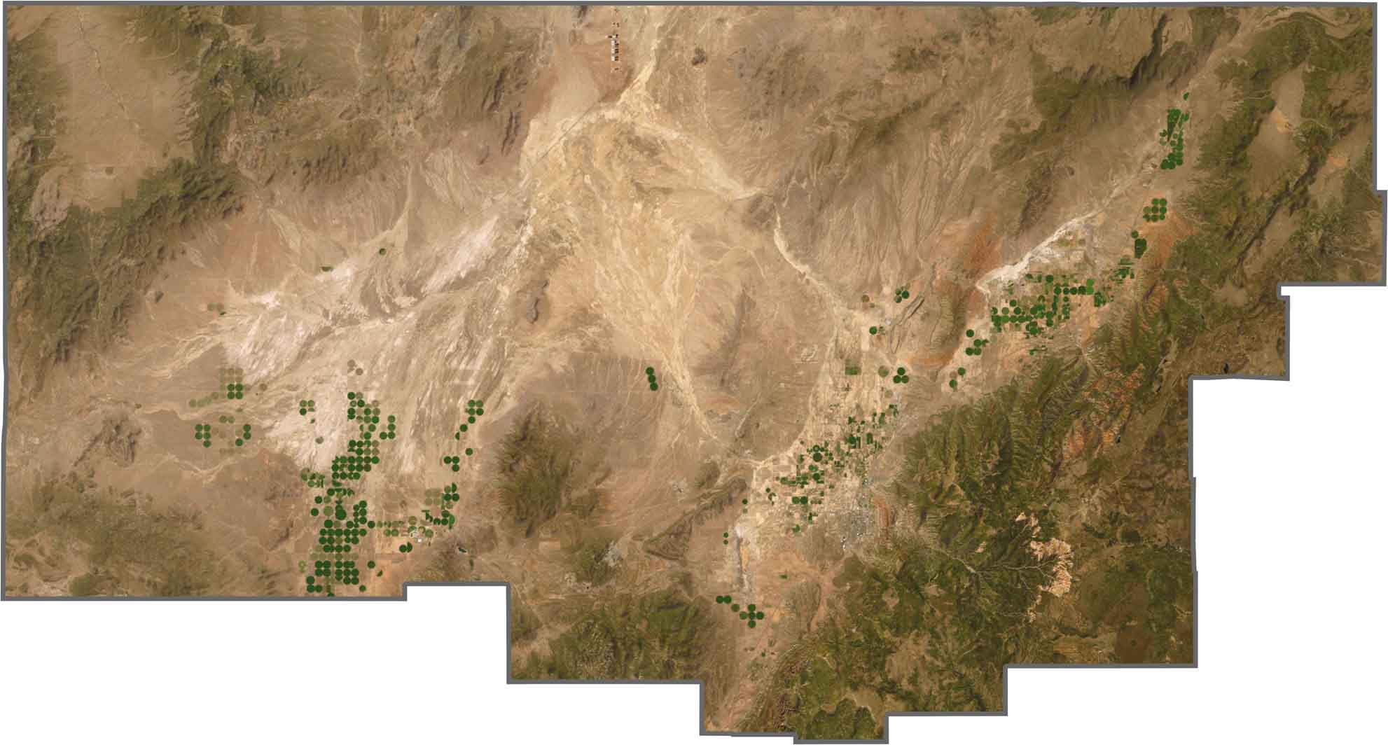
From above, Iron County is a mix of dark forests, orange cliffs, and dry plains. The valley floors appear pale and flat, while the high country shows up as deep green. Patches of agriculture appear near towns. Can you see all the irrigation pivots? Much of the county, however, still looks untouched.
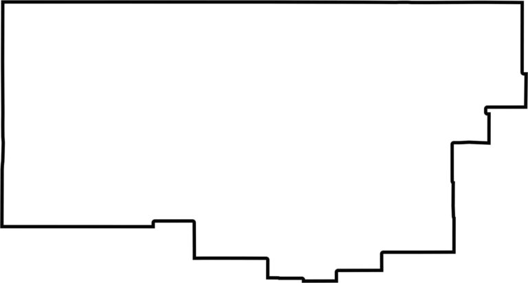
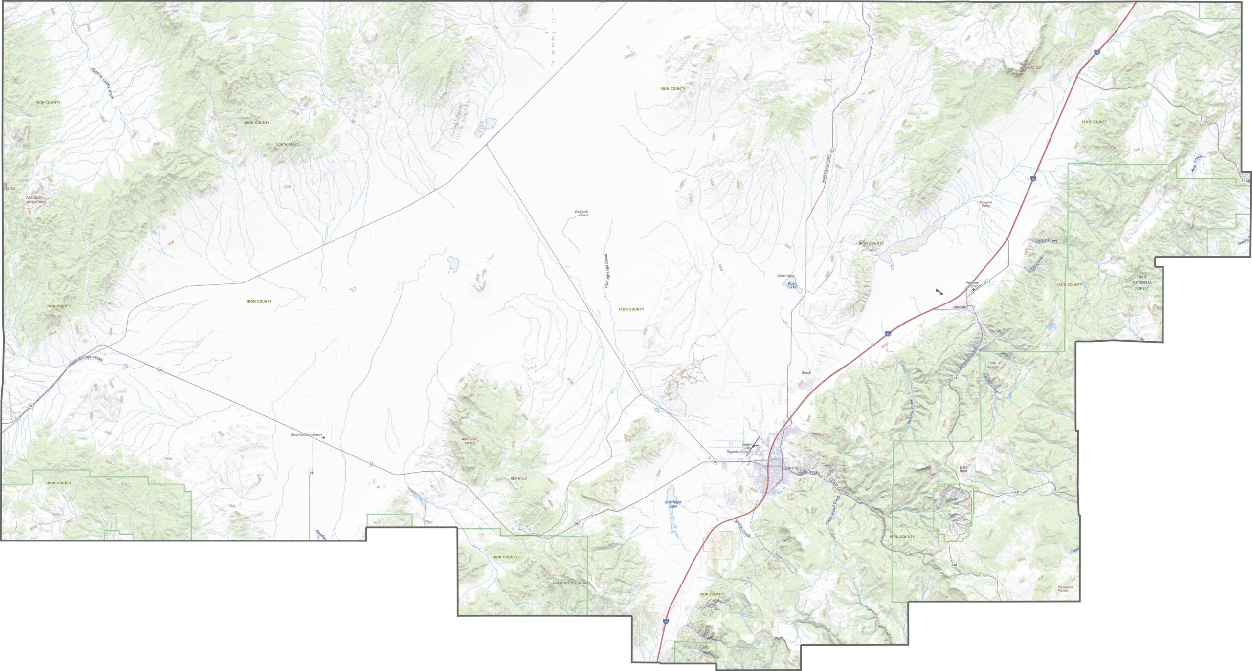
Iron County’s shape resembles a rectangle with a few sections missing along its edges. It touches the state of Nevada to the west. No rivers form the county’s boundary, but several creeks and washes cut through the interior.
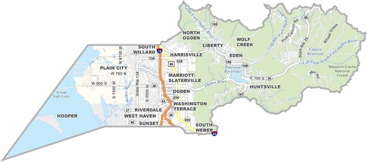
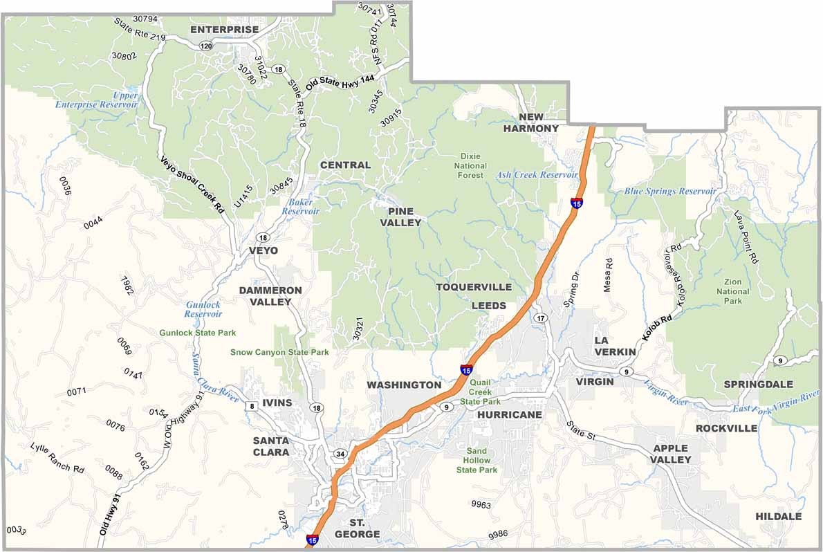
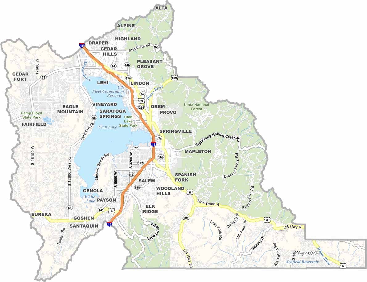
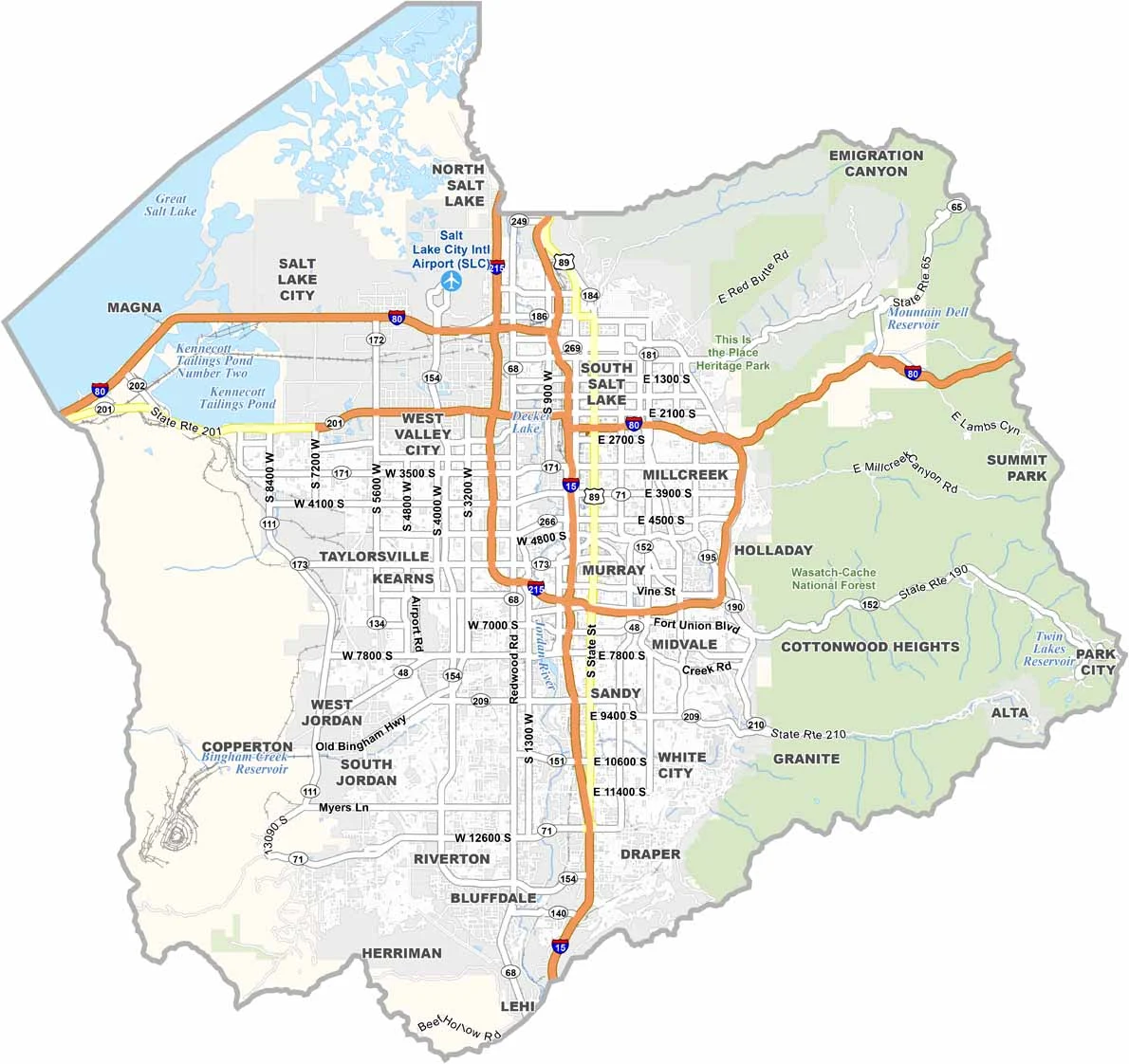
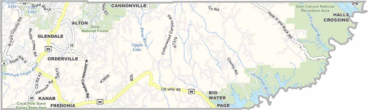

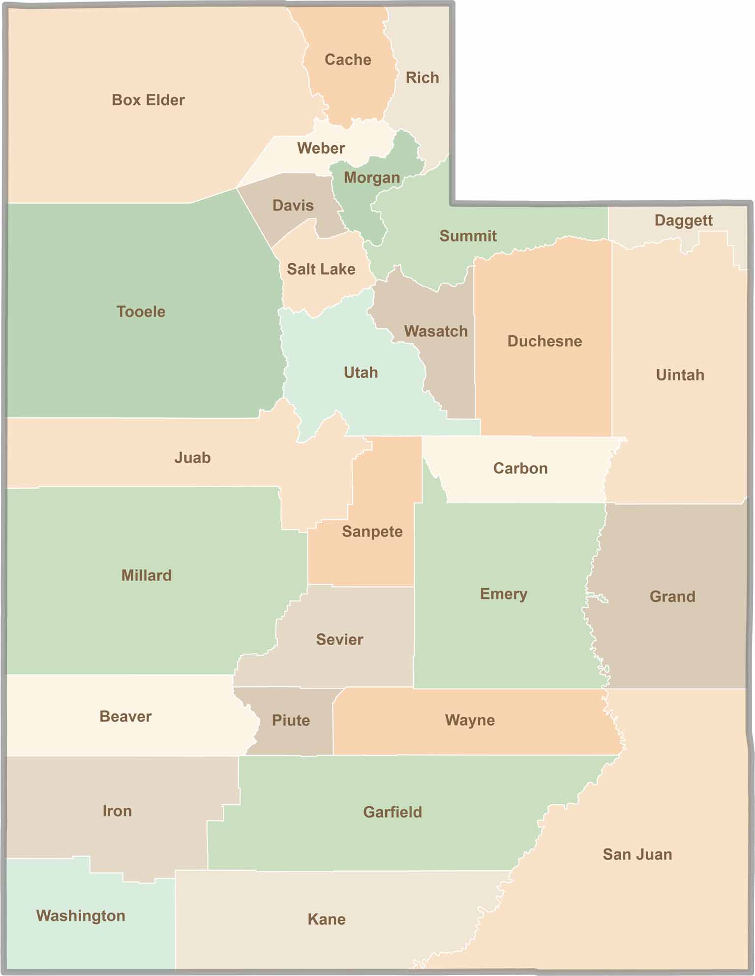
Utah’s 29 counties each have their own unique character and landscape. One is known for its stunning red rock formations, while another rises beneath snow-covered mountain peaks. From vast lava fields and salt flats to deep canyons, every county has a distinct landscape and a story of its own.