
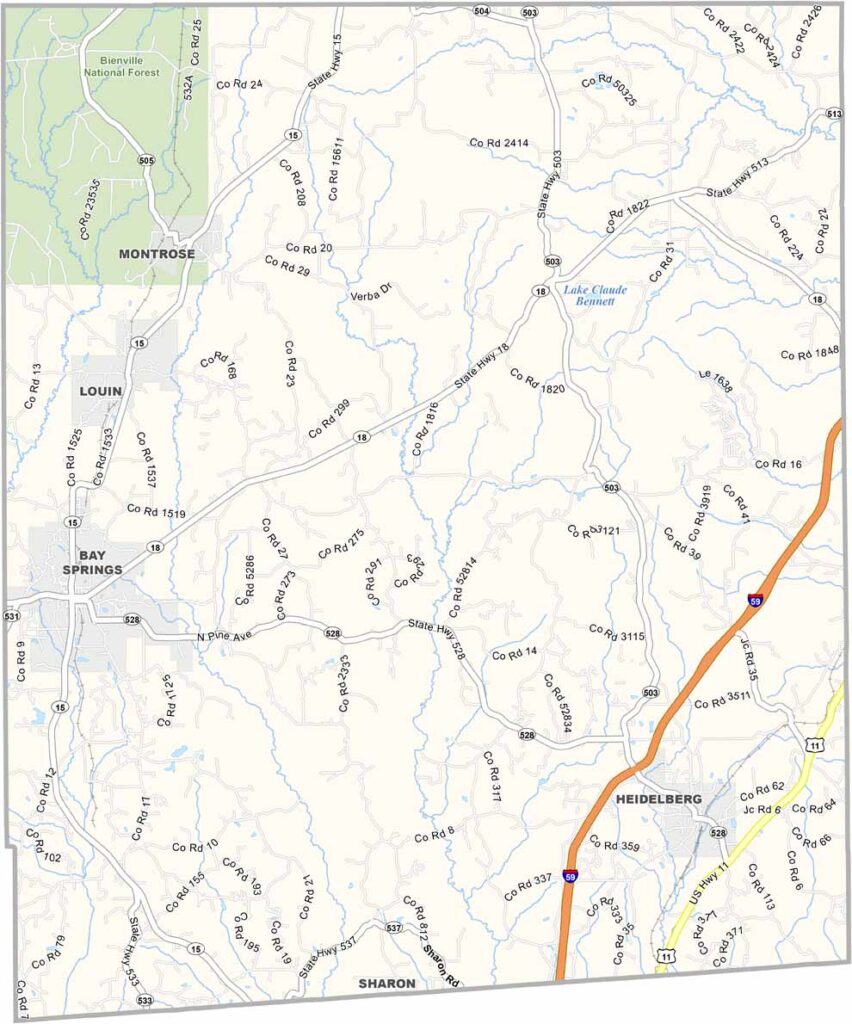
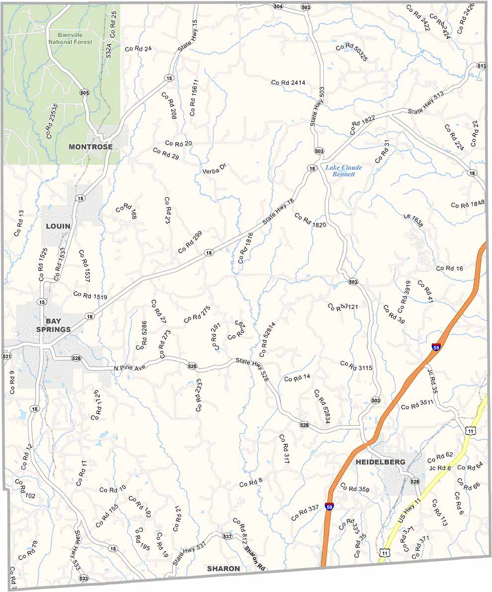
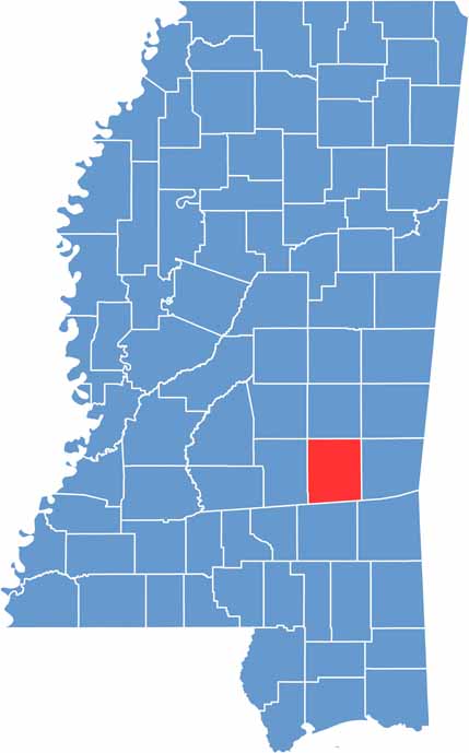
Jasper County is located in the eastern part of Mississippi, close to the Alabama border. Bay Springs and Paulding both serve as county seats.
Residents take pride in the area’s roots, which date back to the county’s founding in 1833. It was named after Sergeant William Jasper, a hero of the Revolutionary War.
The Bienville National Forest covers the northwestern part of the county. History enthusiasts can also visit the historic courthouse in Bay Springs, which is a beautiful local landmark.

Mississippi Counties
Rankin County Map Download Mississippi – Outline Map and Blank Map

Mississippi Counties
Madison County Map Download Mississippi – Outline Map and Blank Map

Mississippi Counties
Jackson County Map Download Mississippi – Outline Map and Blank Map

Mississippi Counties
Hinds County Map Download Mississippi – Outline Map and Blank Map

Mississippi Counties
Harrison County Map Download Mississippi – Outline Map and Blank Map

Mississippi Counties