
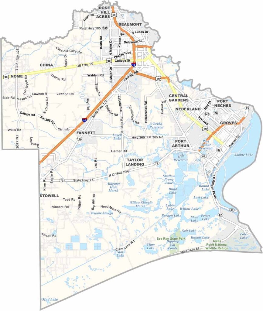
The Gulf Coast is calling, and Jefferson County answers. This corner of Southeast Texas is where the Lone Star State meets Louisiana. Beaumont, the county seat, was at the center of the Texas Oil Boom. Black gold still flows here, but there’s much more to the story.
The Big Thicket’s swamps and forests stretch into the northern part of the county, making it a paradise for bird watchers. Port Arthur’s refineries light up the night sky, while neon signs from its Cajun restaurants add their own glow.
The county is a melting pot of cultures. You can hear it in the music and taste it in the food. Lamar University keeps things lively. And yes, flooding happens sometimes, but the people here are resilient. They always bounce back.
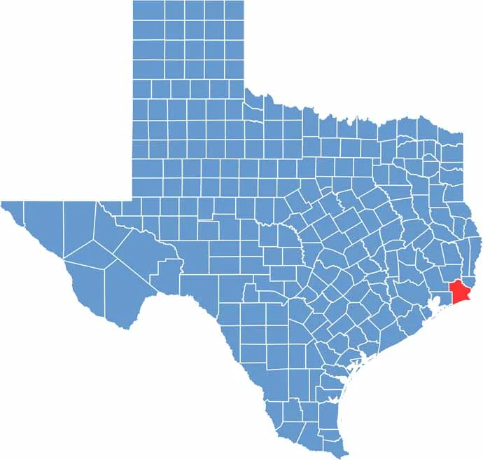
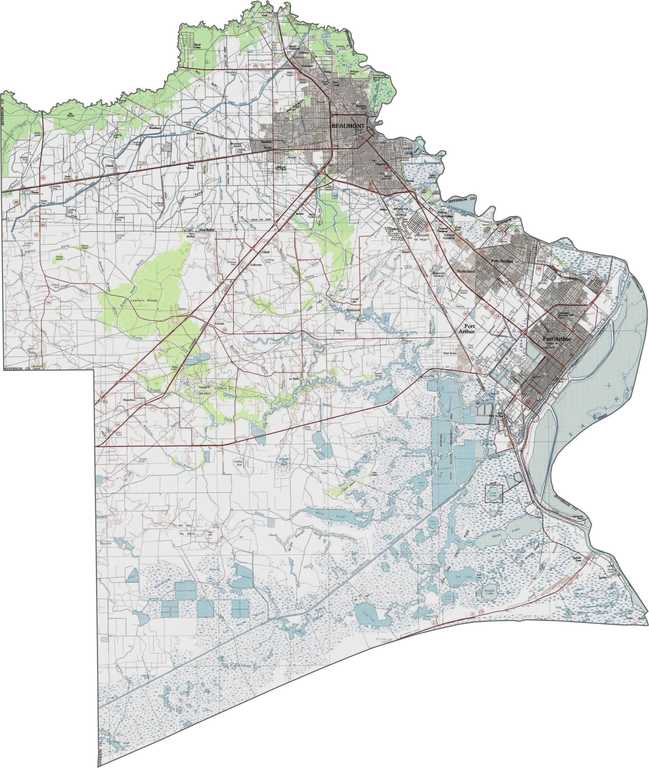
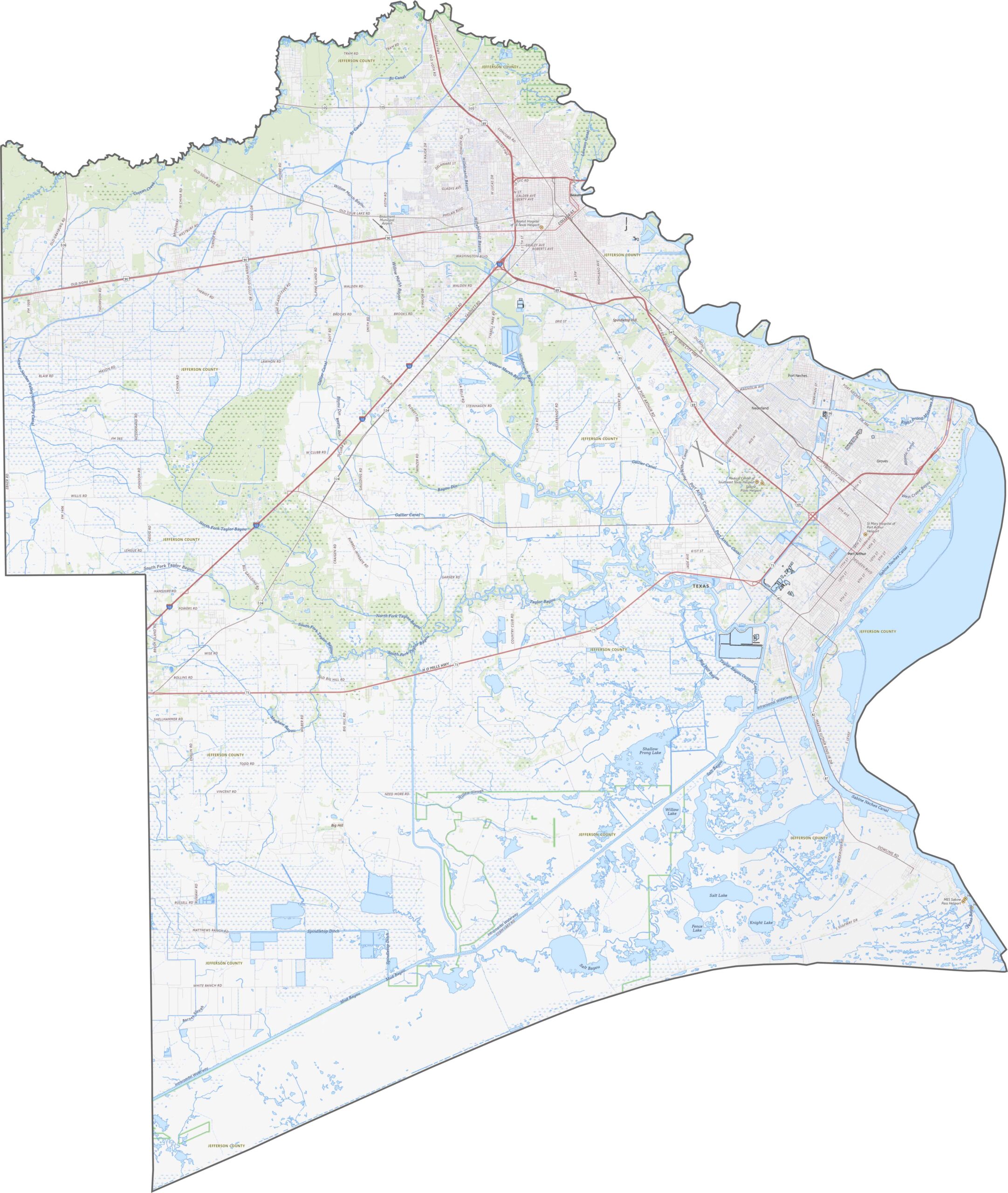
Jefferson County is coastal flatland, sitting barely above sea level. The defining feature is Sabine Lake and its surrounding marshes. Much of the land is wet, low, and muddy, with very little elevation change. Canals, bayous, and drainage systems are found throughout the area.
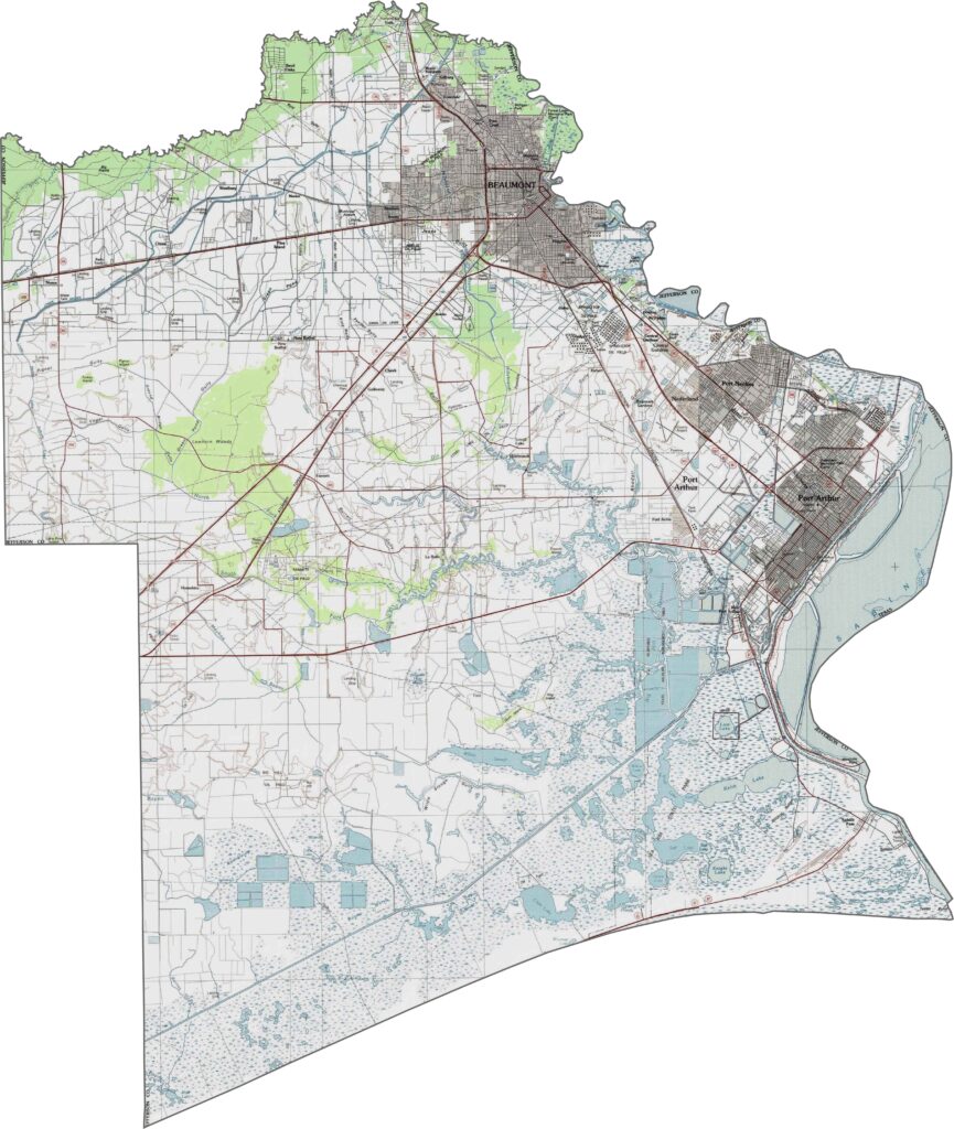
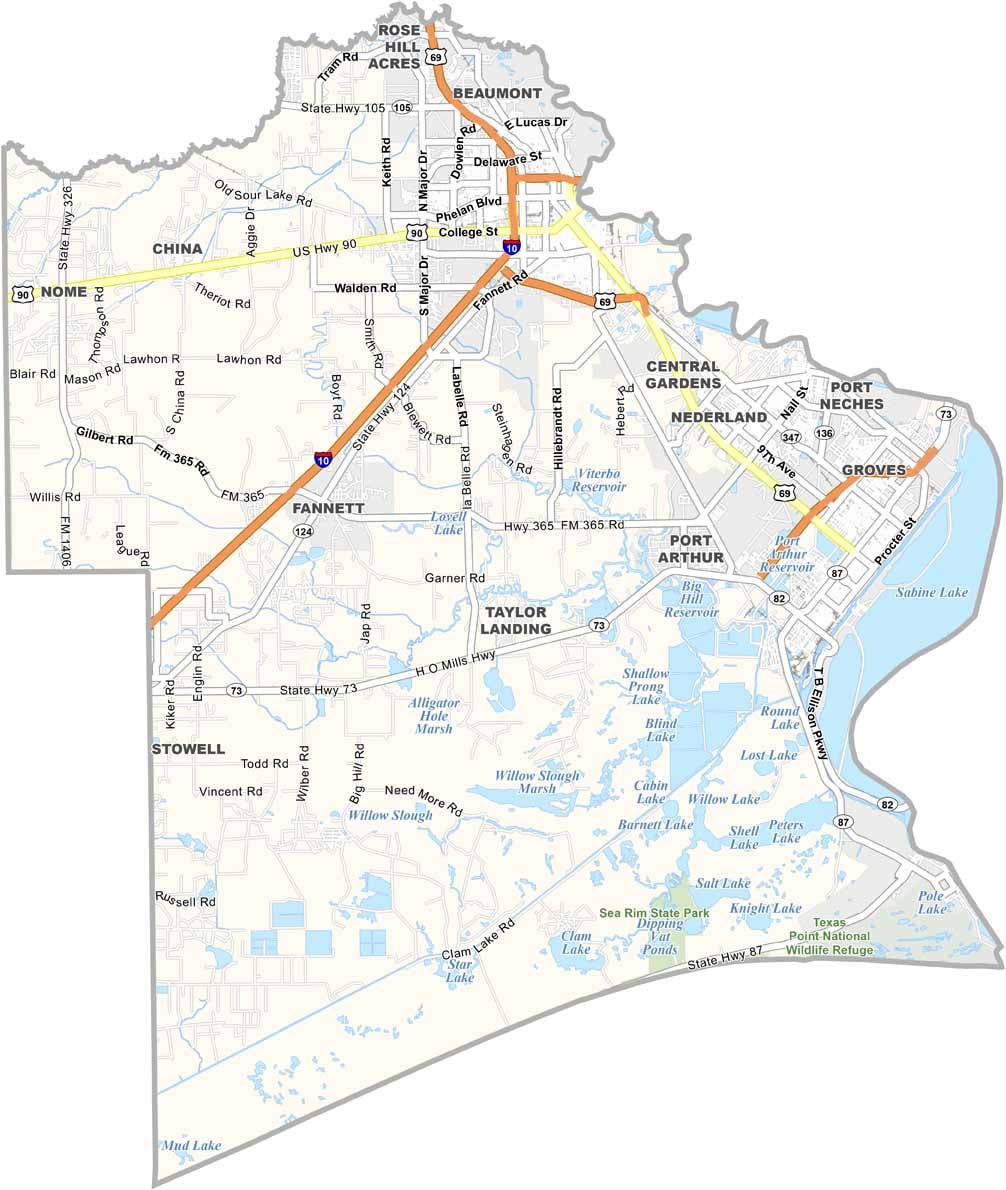
Jefferson County’s highways are shaped by the flat terrain. Routes like I-10 are broad and fast, while others wind through industrial areas. Traffic stays heavy around Beaumont and Port Arthur, but you can still find long stretches with little company. Use our zoom tool below to explore the road map.
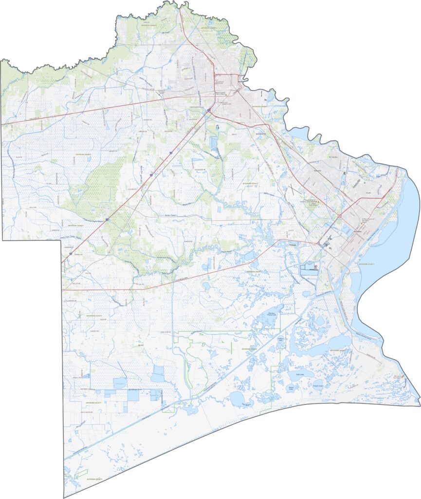
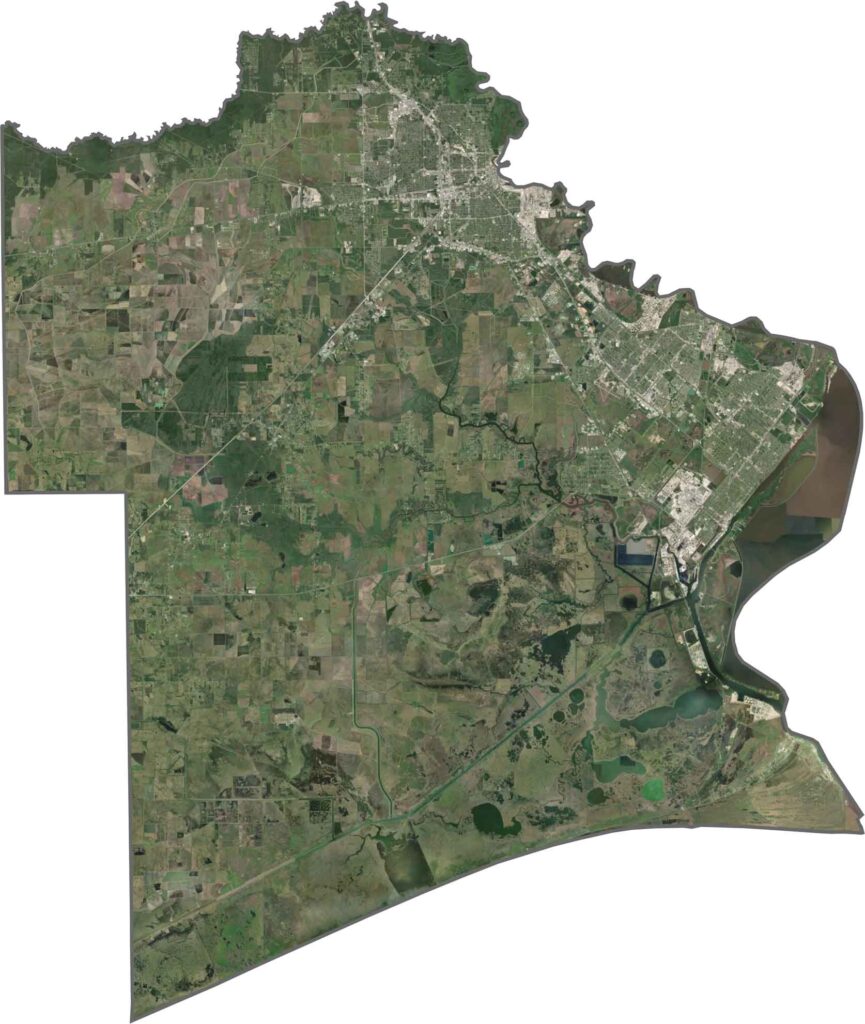
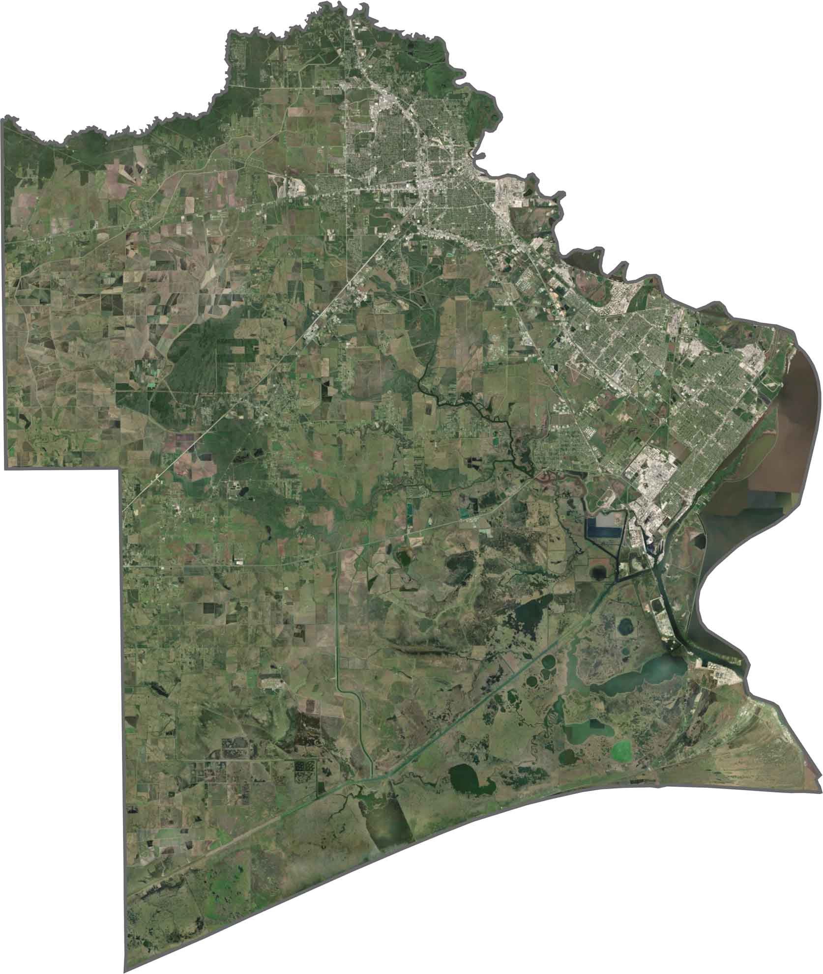
From above, you can see city centers, agricultural fields, and wide green marshlands. Water channels cut across the landscape in every direction. Urban areas appear as dense, bright clusters, while the rest of the land shifts between green and brown depending on the season. The southeastern coast is unmistakable.
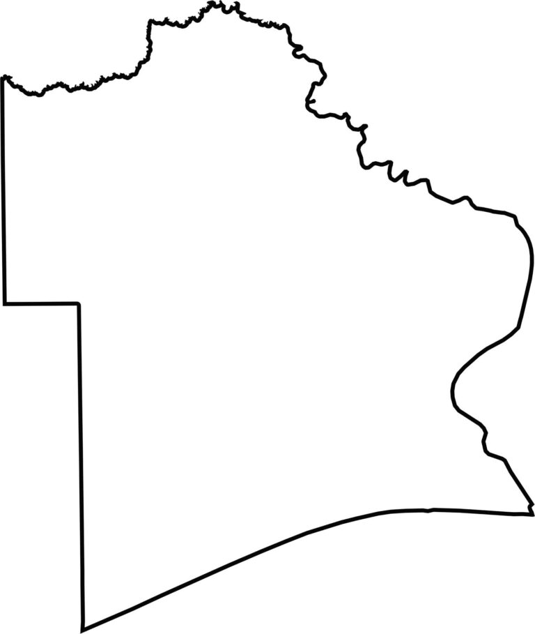
Jefferson County hugs the Gulf Coast, with Sabine Lake helping form its southeastern border. It also touches Louisiana along a short stretch to the east. The outline is irregular, with a flatter western side and a squiggly edge along the water. Many of its borders follow bayous and inlets rather than straight lines.








Discover all 254 legendary Texas county maps, covering the Lone Star State from the Panhandle to the Rio Grande. That means more rodeos, honky-tonk, and Texas BBQ.