
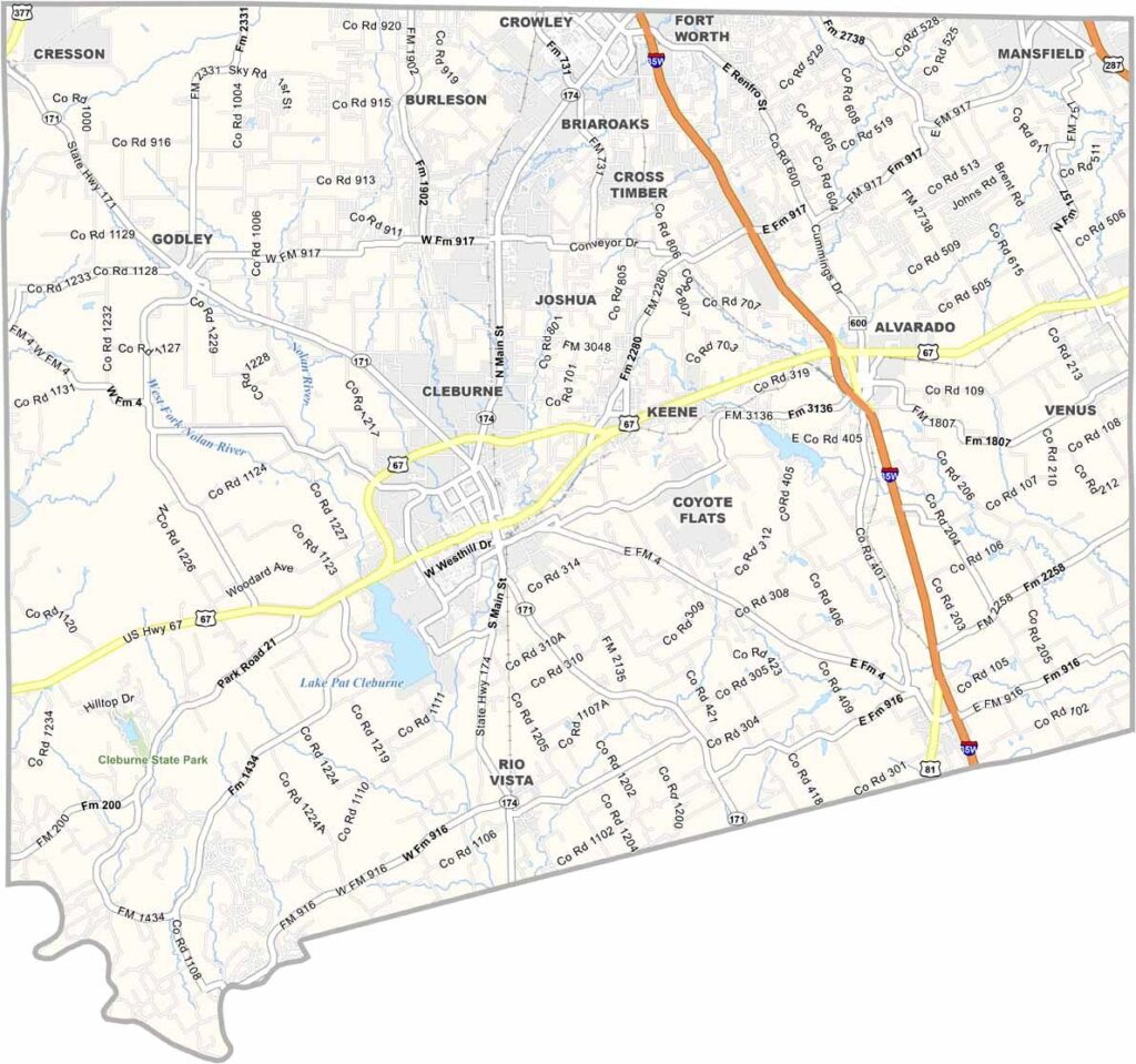
Johnson County is located just south of Fort Worth, where the suburbs gradually give way to rolling hills. Cleburne serves as the county seat, with all the big-city amenities close by.
The Chisholm Trail once passed through the area, and you can still find traces of the Old West today. But things are changing quickly, with new developments popping up throughout the county.
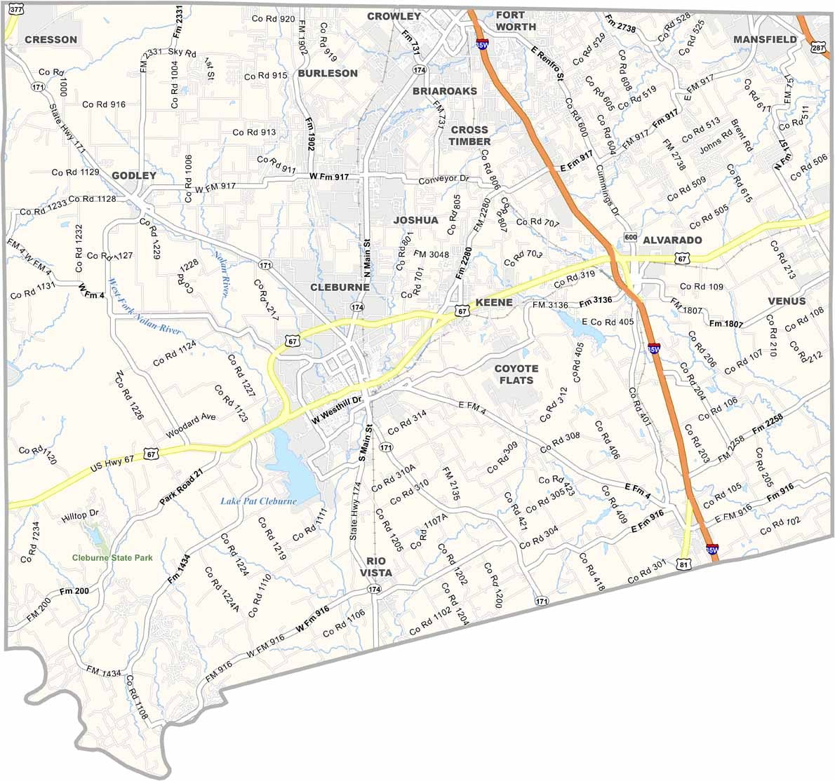
Lake Pat Cleburne is a popular spot for fishing and boating. Cleburne State Park offers scenic hiking trails and a waterfall. Johnson County, Texas is a place where history and progress collide.
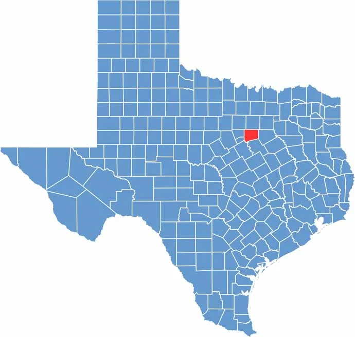
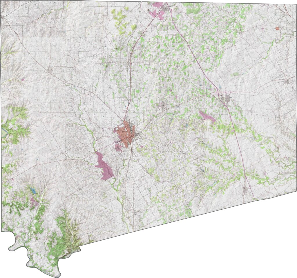
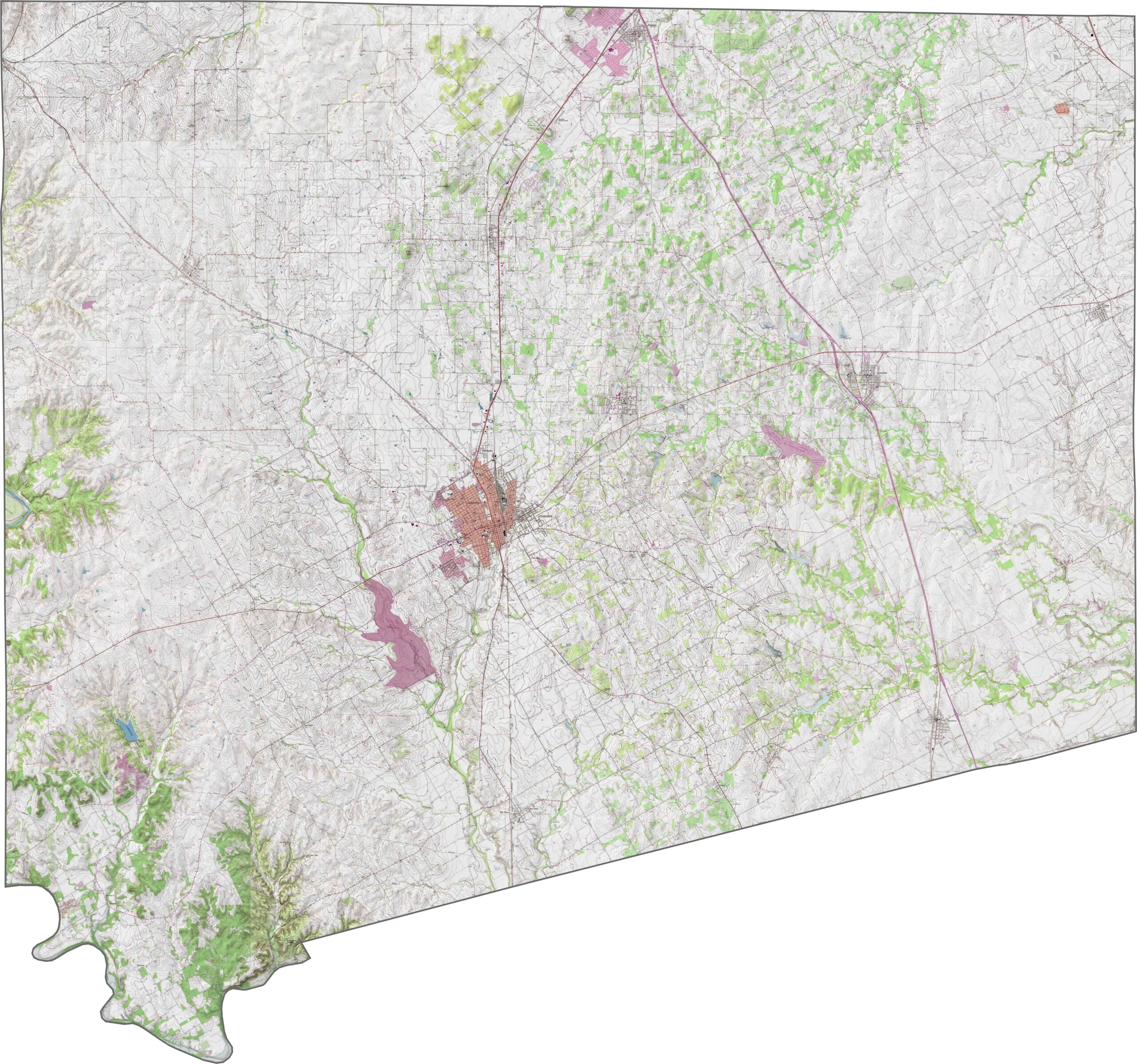
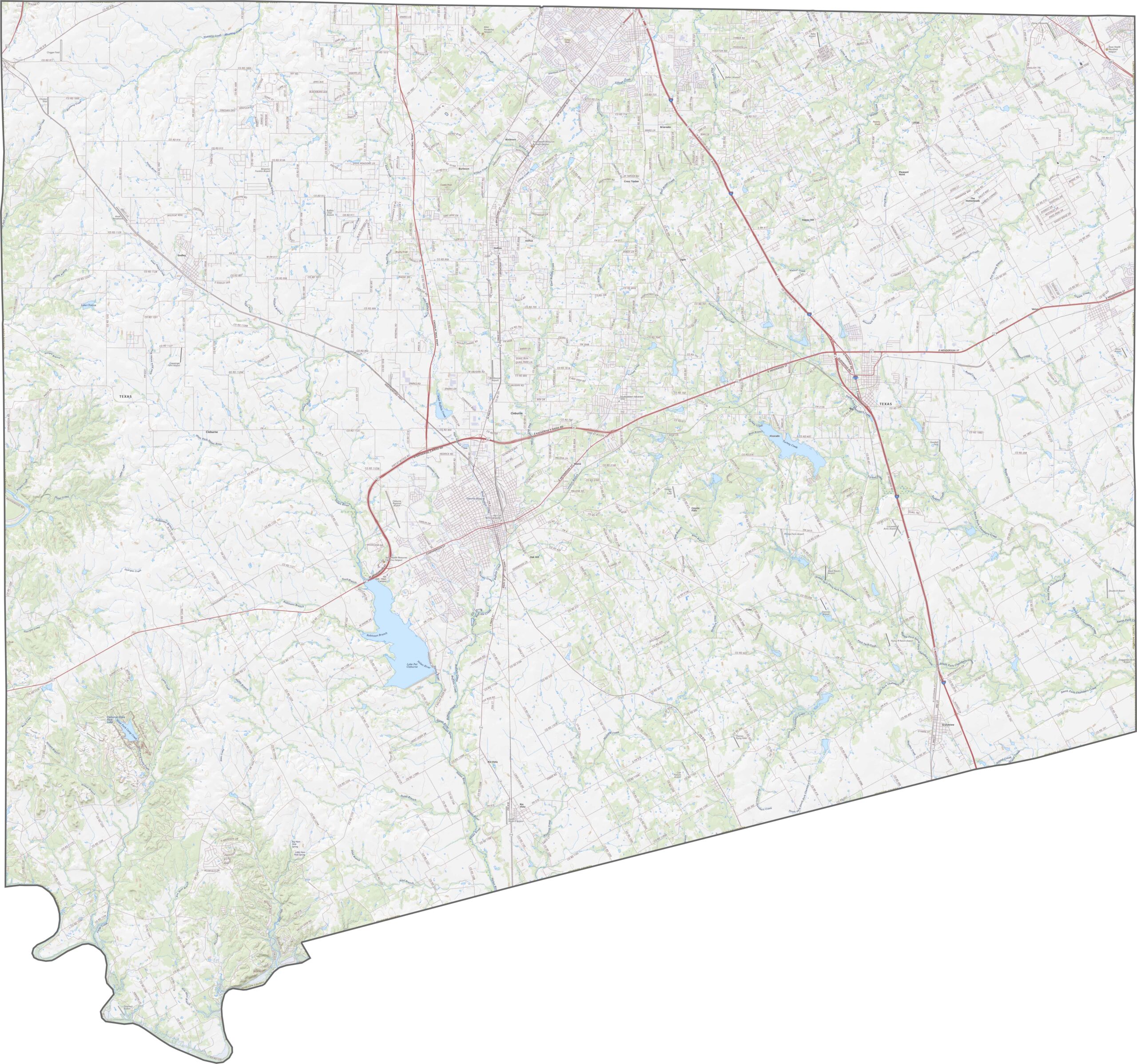
Johnson County rolls gently across the landscape, sitting just below the Hill Country. The Brazos River grazes the western edge, while the rest of the county features open, sloping land with enough hills to break up the horizon.
In Johnson County, roads fan out from Fort Worth. Suburban routes feed into busy interstates, while back roads still pass by pastures and barns. Interstate 35W is the main route through the county, although traffic can still build up around Burleson and Cleburne.
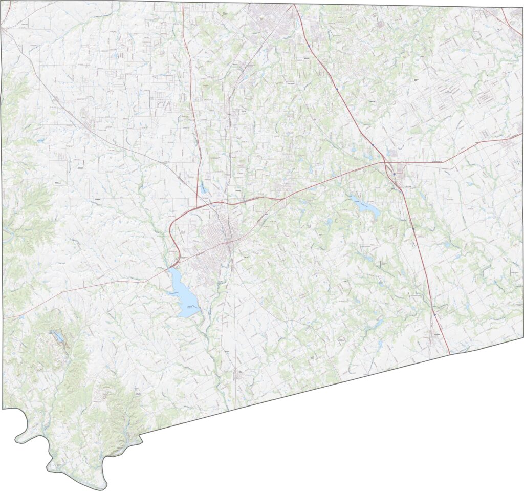
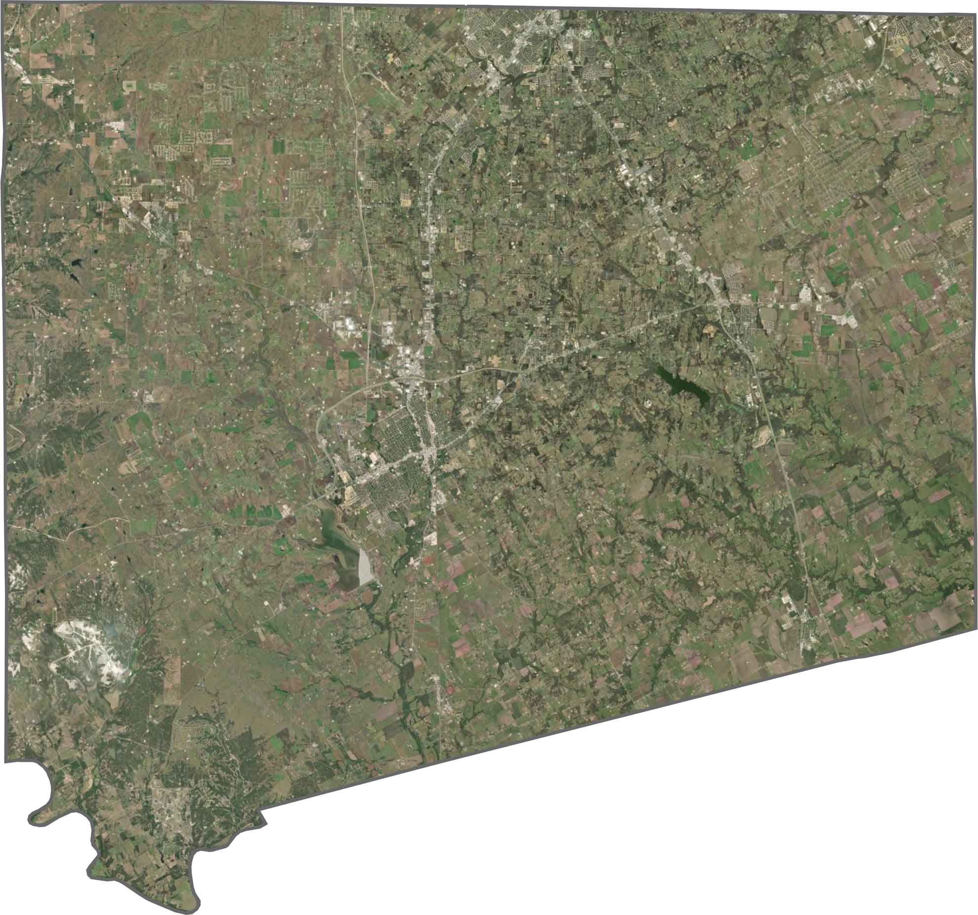
Cleburne appears as a compact hub near the center of the county. Around it are green fields, light-colored neighborhoods, and the occasional quarry or lake. Development is strongest in the north, while the southern areas remain more rural.
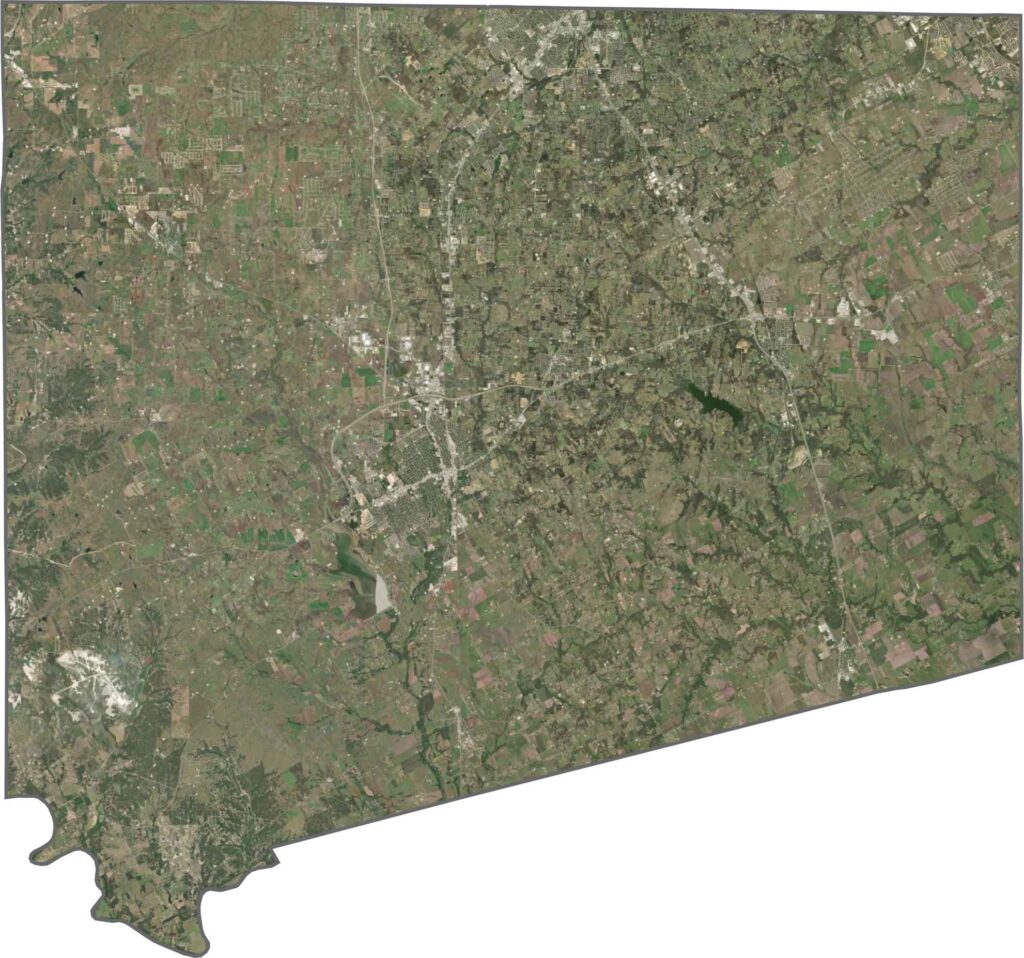
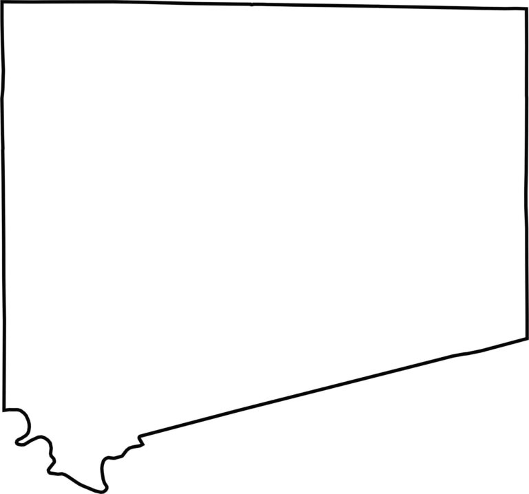
Johnson County looks somewhat square, with the southern end shaped almost like a triangle. The Brazos River helps define part of the southwestern edge, while most of the remaining boundary follows straight survey lines with only minor deviations. It sits just south of Fort Worth.








Discover all 254 legendary Texas county maps, covering the Lone Star State from the Panhandle to the Rio Grande. That means more rodeos, honky-tonk, and Texas BBQ.