
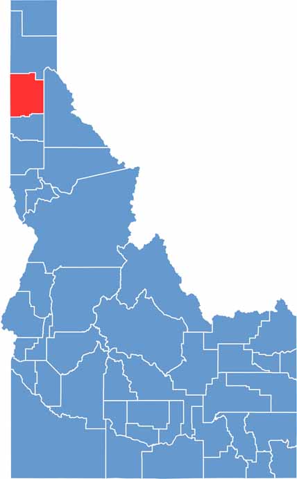
Kootenai County is tucked into the northern Panhandle of Idaho, where mountains, forests, and lakes all come together. Lake Coeur d’Alene is the crown jewel, and honestly, it’s hard to beat the scenery here, no matter the season.
Coeur d’Alene, the county seat, has come a long way from its logging-town roots. These days, it’s a popular destination for visitors who come to golf, ski, hike, and enjoy the lake. You get a little bit of everything here, with wilderness and city life practically side by side. Great for outdoor adventures, though the growing traffic can make getting around a bit of a headache.
Kootenai County’s economy has shifted from timber toward technology, tourism, and other growing industries. The area is changing quickly, and not everyone agrees on whether that’s a good thing. Some folks miss the old days, while others welcome the growth. Either way, the mountains, forests, and lakes make Kootenai County one of the most scenic corners of Idaho.
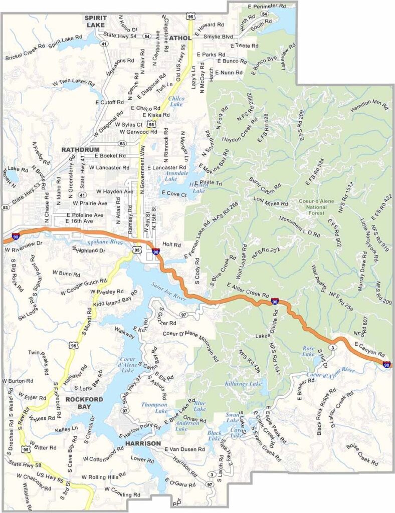
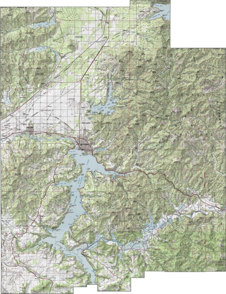
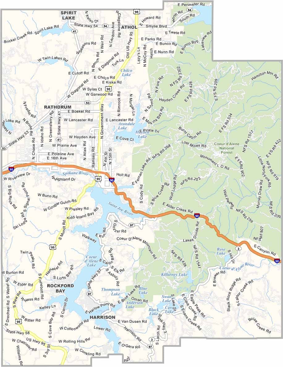
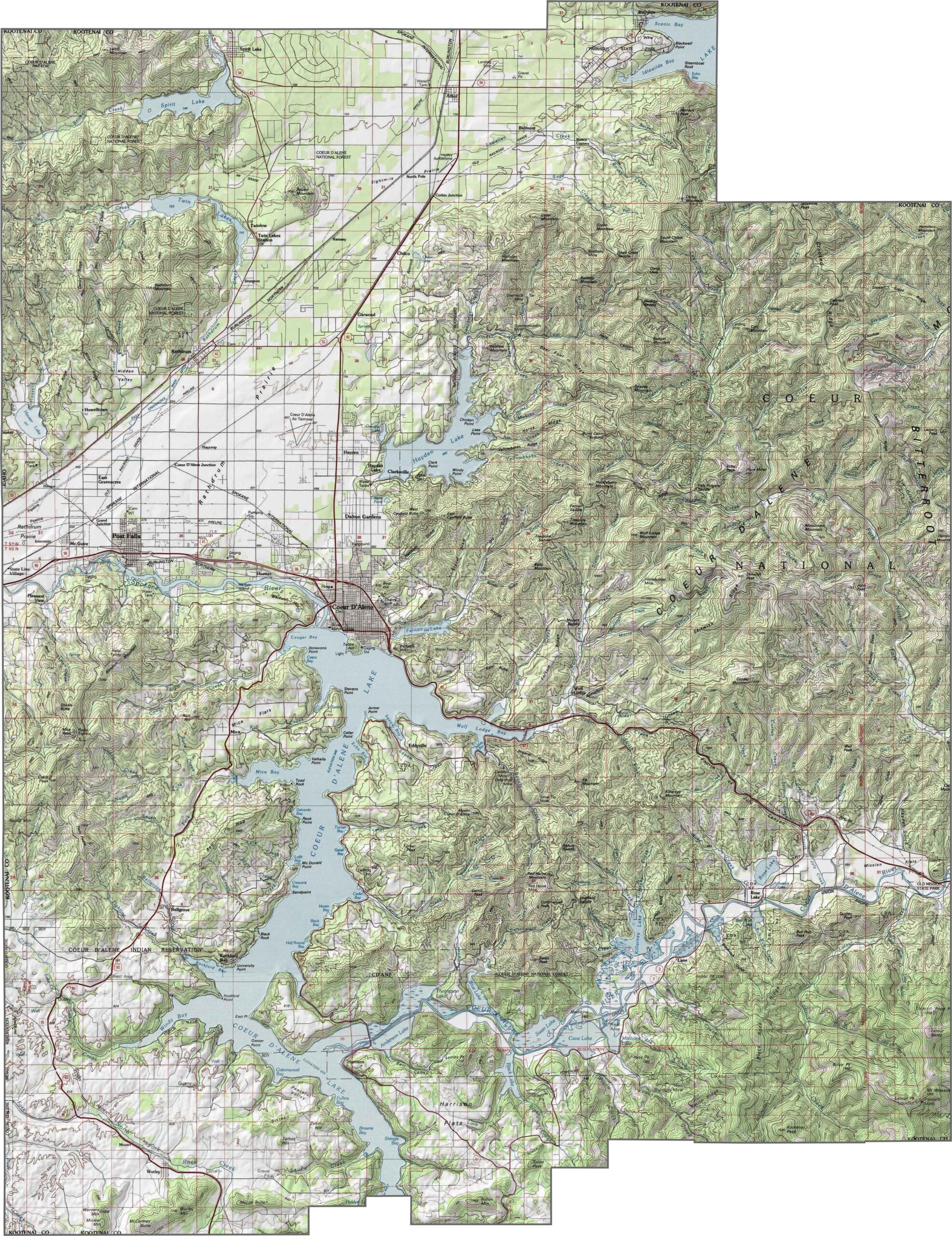
Kootenai County’s map is a dream for anyone who loves lakes and mountains. Coeur d’Alene Lake is the star, surrounded by forested hills, valleys, and smaller communities. Use our zoom tool to explore the terrain and get a closer look at what makes this area so scenic.
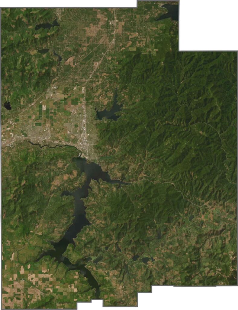
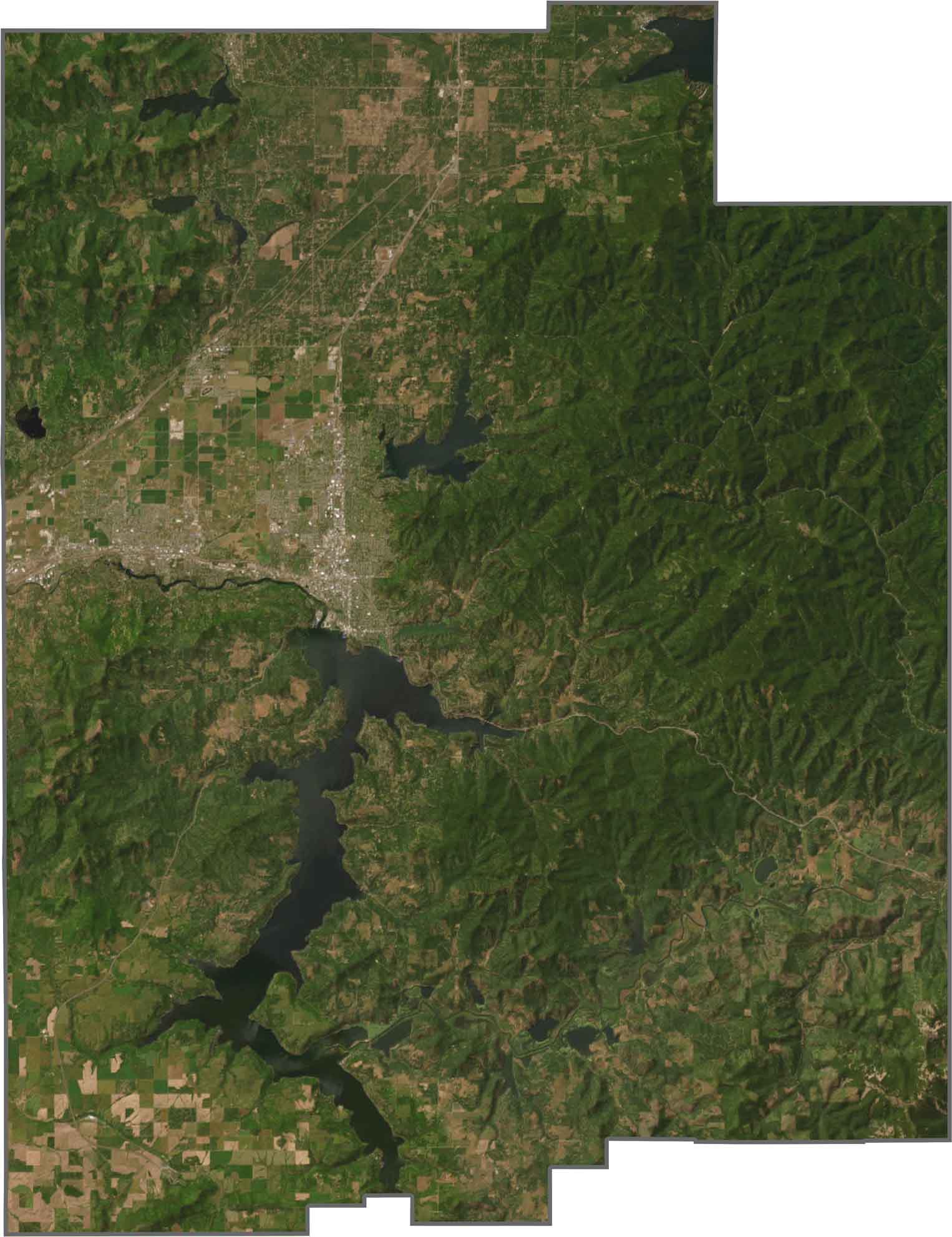
Kootenai County is a stunner from above. Coeur d’Alene Lake shines bright blue, surrounded by thick forests and small towns tucked along the shoreline. The mountains in the distance add even more wild beauty to the view.
Kootenai County’s outline is a bit all over the place, with curves, angles, and a few unexpected dips. The western edge follows the Idaho-Washington state line, giving the county a distinctive shape as it stretches toward Spokane.

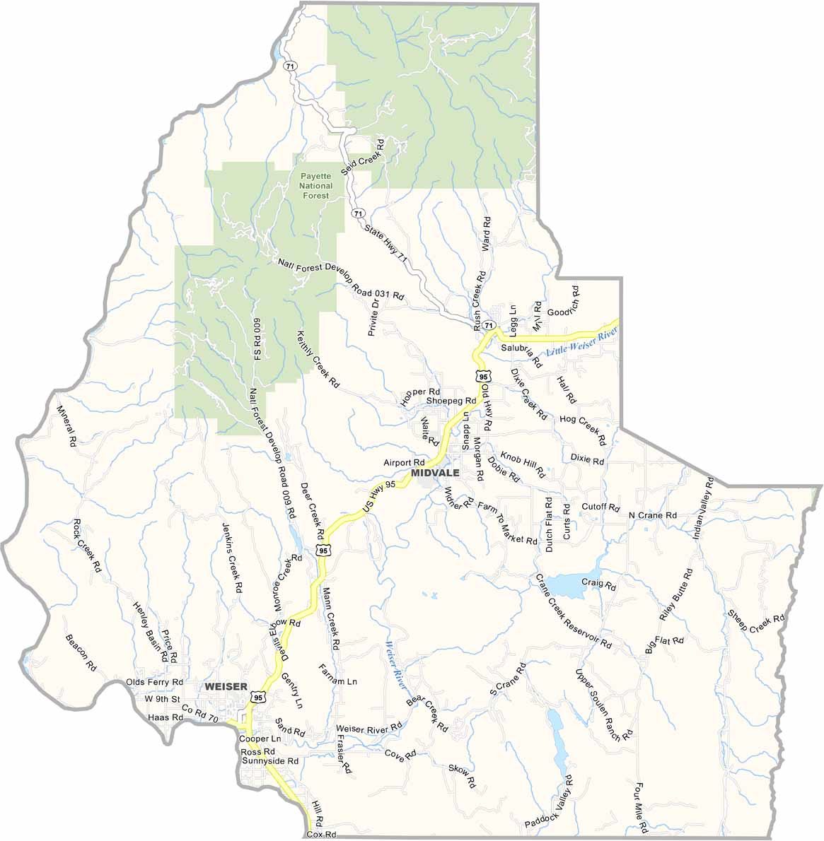
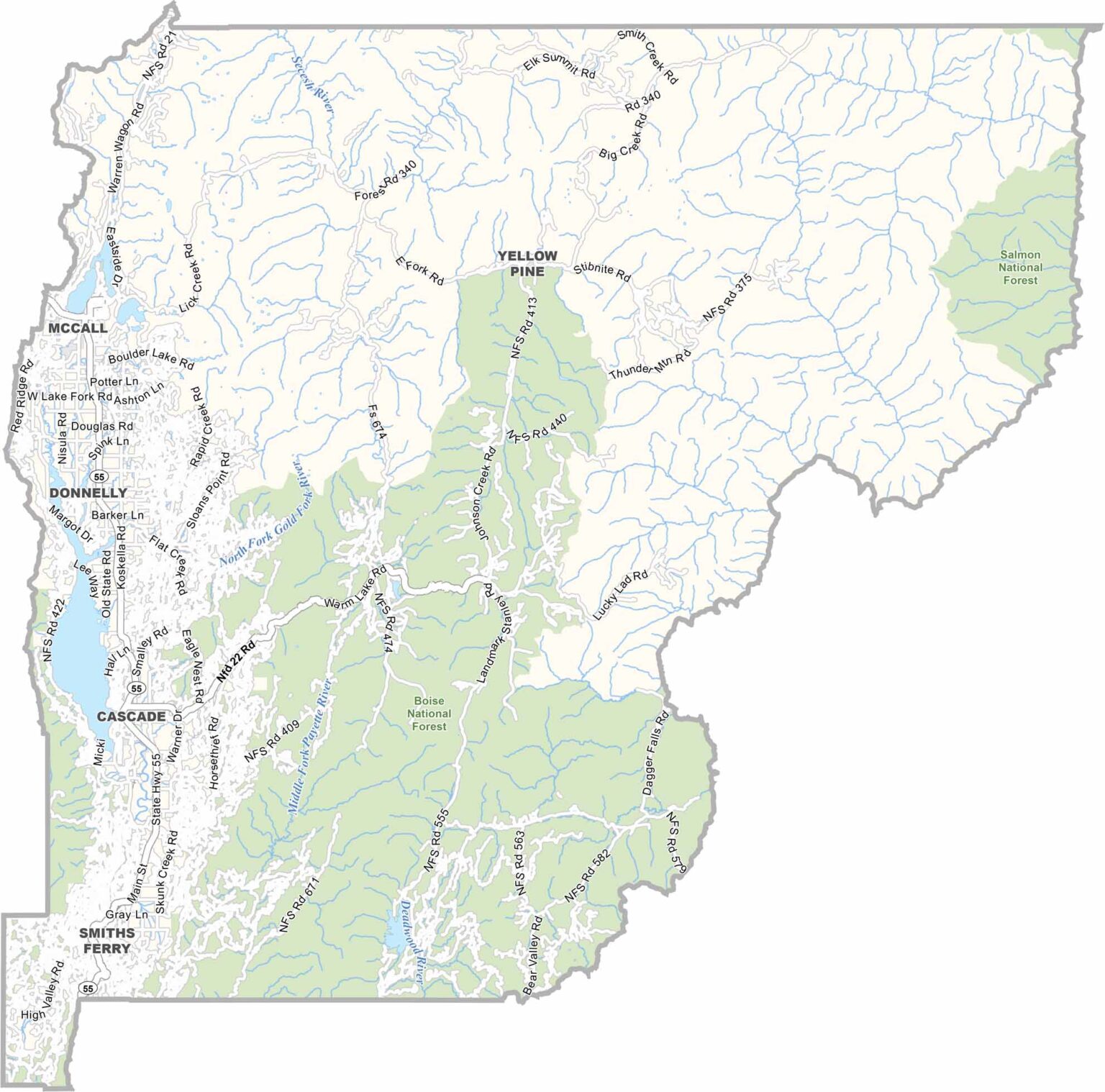
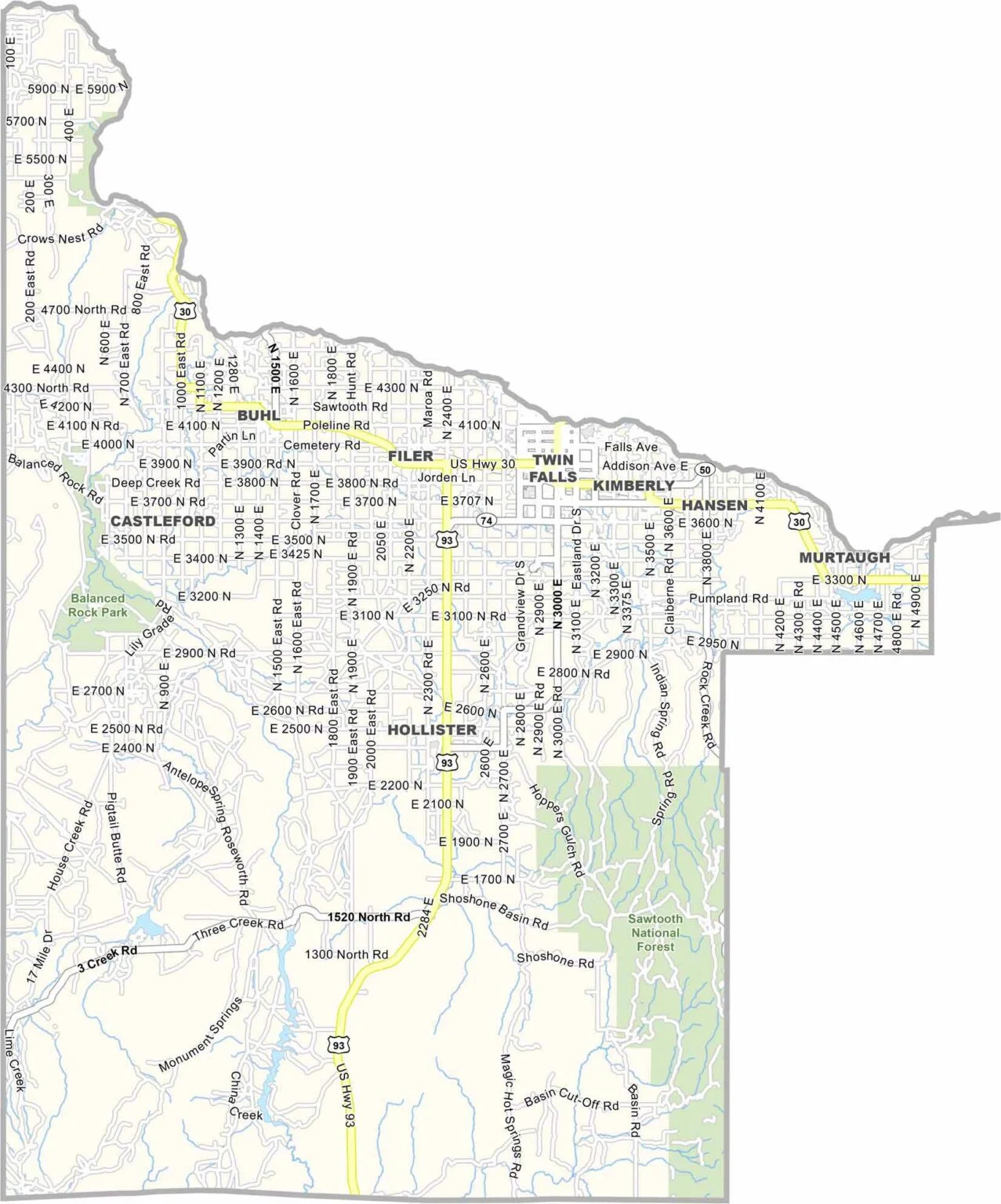
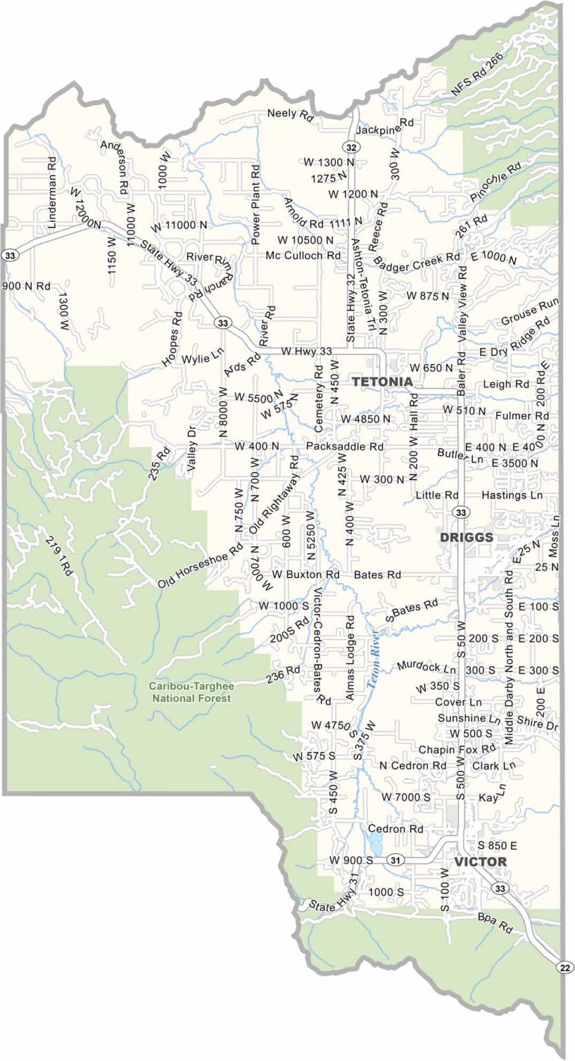

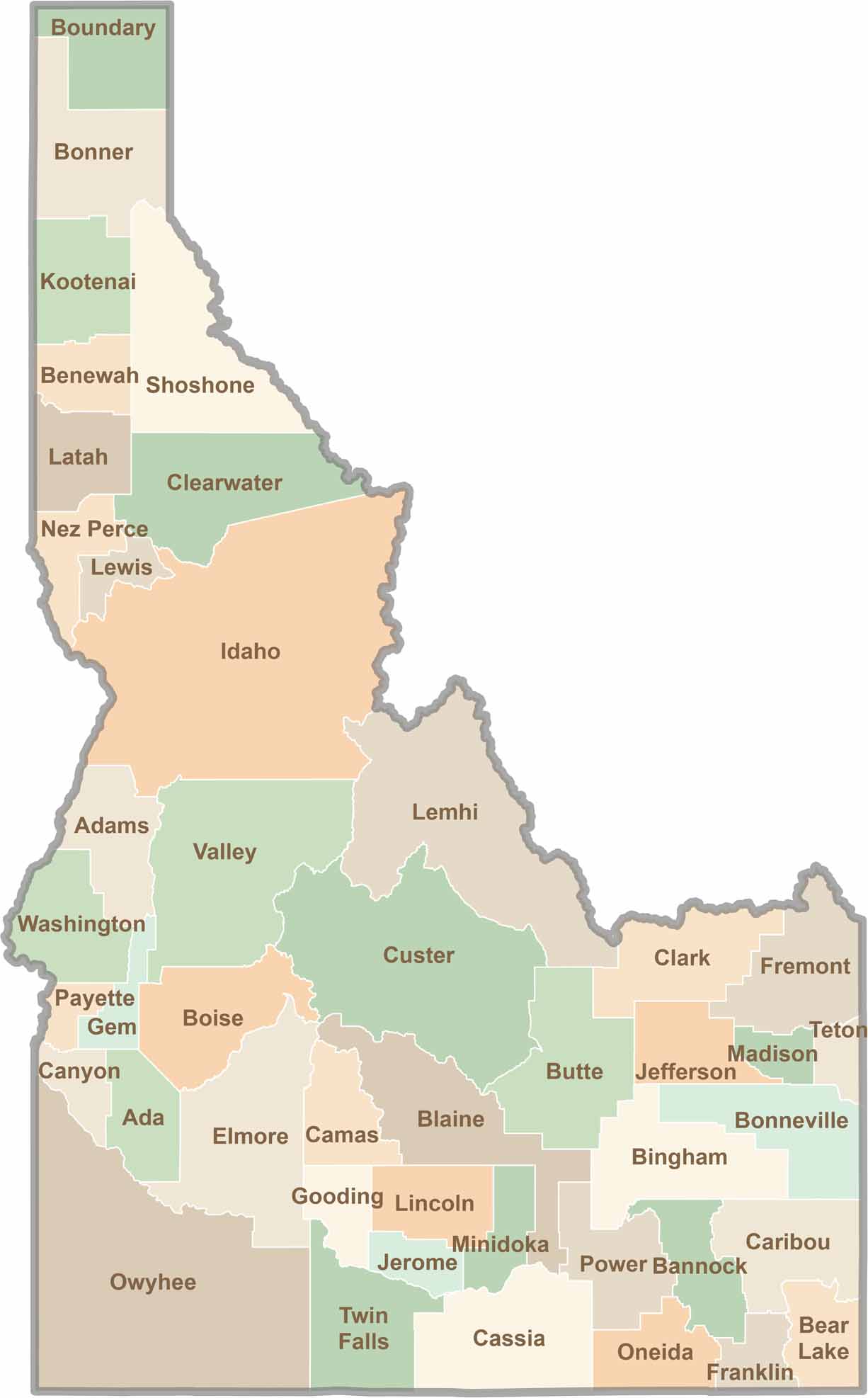
Discover the diverse landscapes of Idaho’s counties, from rugged mountain ranges and rolling plains to expansive forests and wild backcountry. Explore the vibrant heart of Boise, the scenic wilderness of Teton County, and the untamed forests of Shoshone County, each offering a unique glimpse into Idaho’s natural beauty.