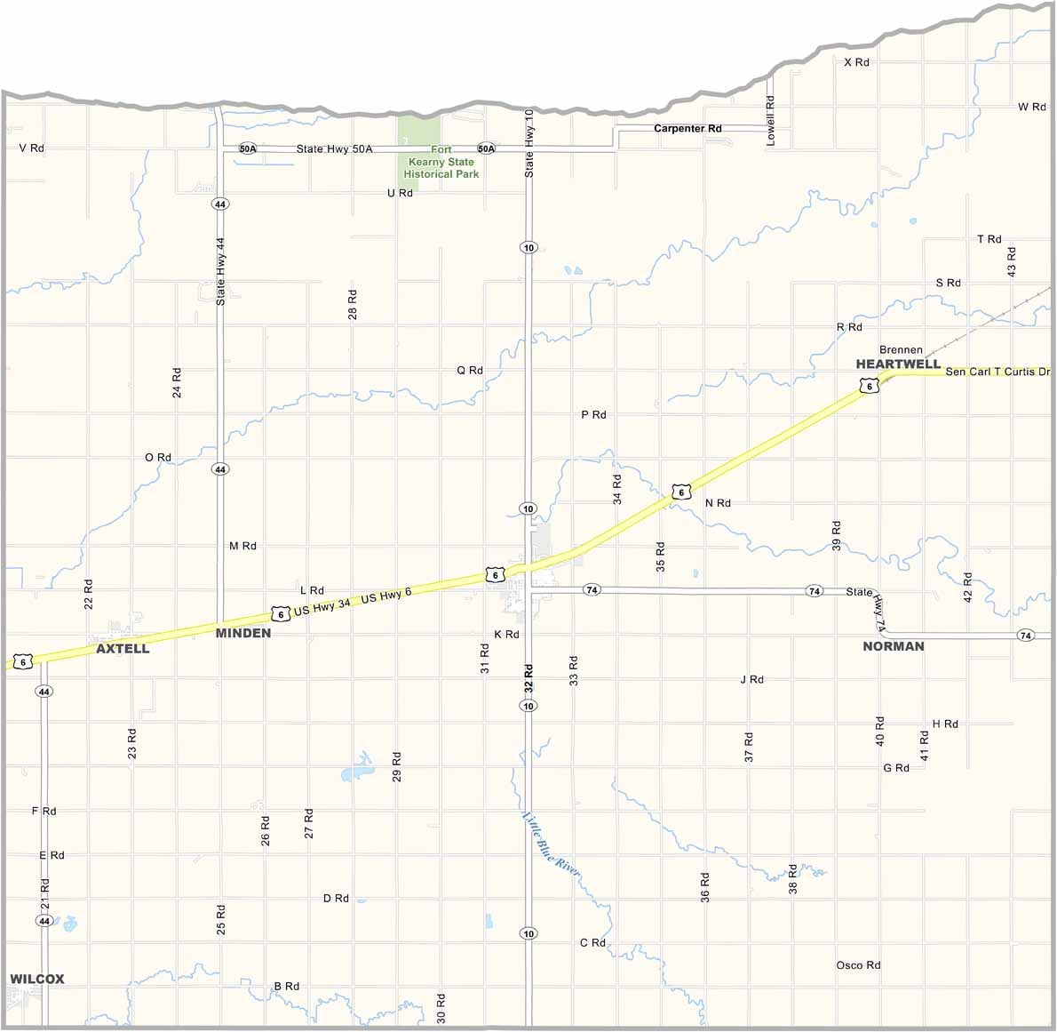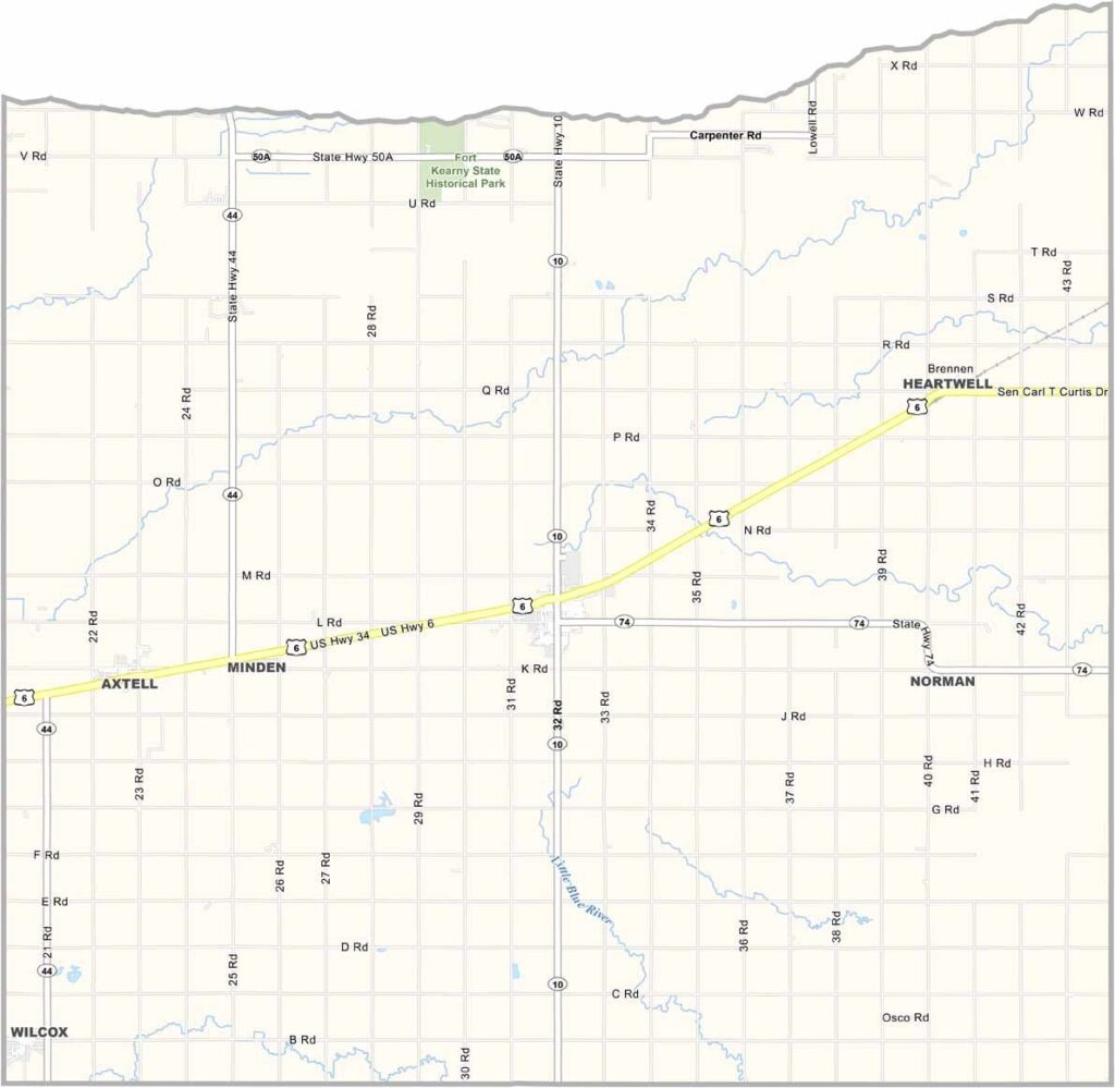
Kearney County Map, Nebraska

Kearney County, Nebraska

Kearney County is located in south-central Nebraska. Don’t confuse it with the city of Kearney, which is in a different county just to the north. Farming is the main industry here. No surprises there—this is Nebraska, after all.

Minden serves as the county seat and largest town. It’s known as “Christmas City,” thanks to its annual light show that attracts visitors from all over. Locals take plenty of pride in the tradition.

The county is mostly flat, with views that seem to stretch for miles. Country roads crisscross the area, connecting small towns and farmsteads. People here are friendly but tend to keep to themselves and are used to making their own entertainment. High school sports are a big deal, and on Friday nights, the whole town turns out for football games.
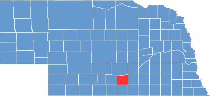

Kearney County location map of Nebraska
CategoryDetails
County NameKearney County
County SeatMinden
EtymologyNamed after Fort Kearny, which was named after General Stephen W. Kearny
Cities, Towns, and CommunitiesMinden, Axtell, Wilcox, Heartwell, Norman, Lowell
Interstates and HighwaysUS 6, NE 44
FIPS Code31-099
Total Area (Land and Water)516 square miles (Land: 516 sq mi, Water: 0.2 sq mi)
Adjacent Counties (and Direction)Buffalo County (North), Adams County (East), Webster County (Southeast), Franklin County (South), Harlan County (Southwest), Phelps County (West)
Time ZoneCentral Time Zone (CT)
StateNebraska
Coordinates40.5183° N, 98.9989° W
Major LandmarksPioneer Village, Minden Opera House, Fort Kearny State Historical Park
PopulationApproximately 6,900
Scroll to Top