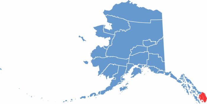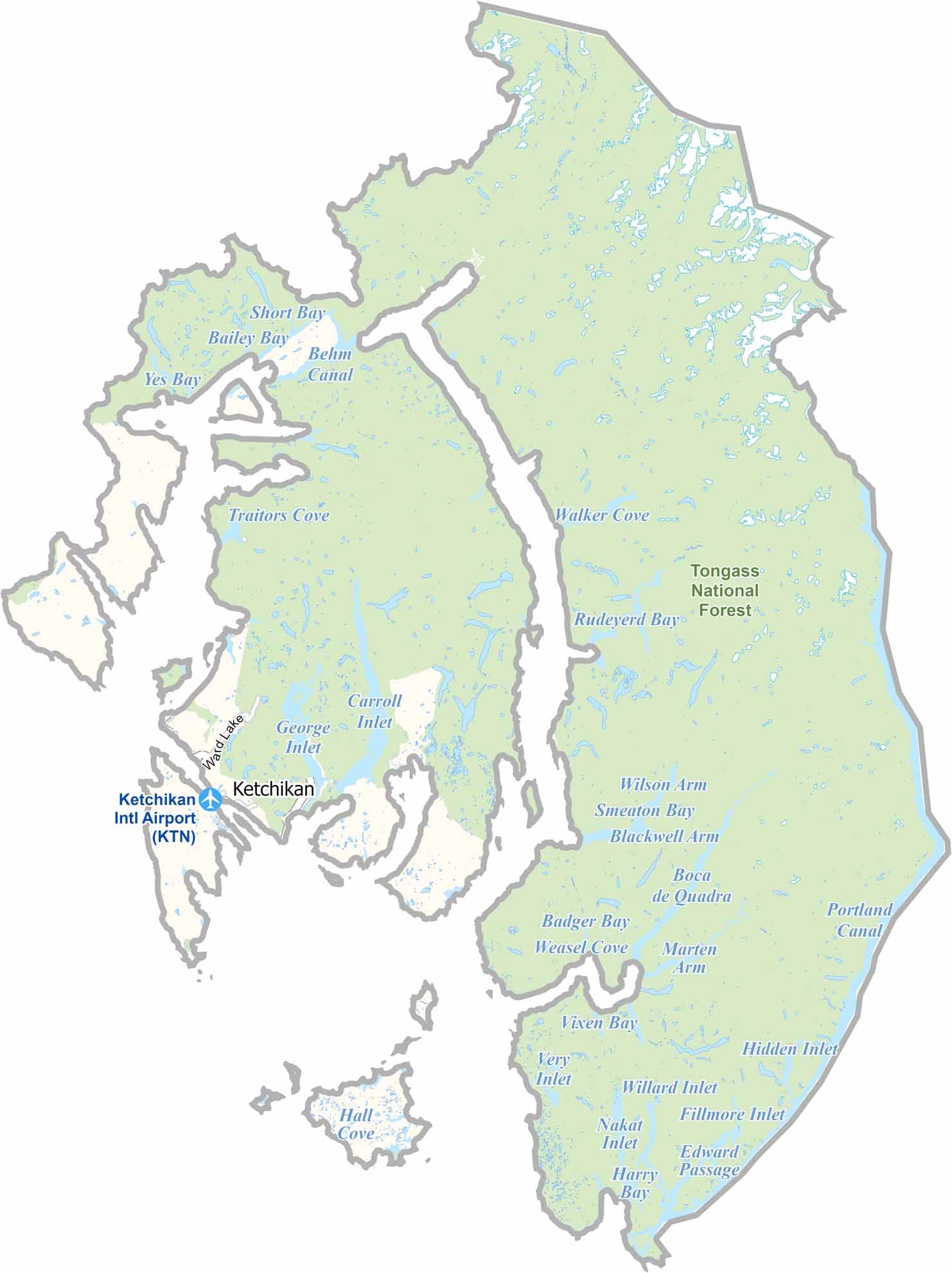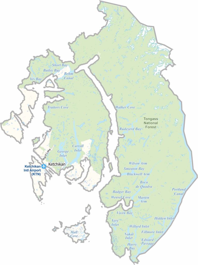
Ketchikan Gateway Borough is located in Southeast Alaska near the southern tip of the state. It is known as Alaska’s “First City” because it is often the first stop for ships arriving from the south.
Around 14,000 people live in the borough, with most of the population residing in Ketchikan city. The area is well known for its totem poles and Native Alaskan art. Fishing and tourism are the main industries. Ketchikan receives a significant amount of rainfall and is considered one of the wettest places in North America.
The borough includes part of the Tongass National Forest, the largest national forest in the United States. Cruise ships bring large numbers of visitors during the summer. The region has a rich heritage shaped by Tlingit, Haida, and Tsimshian cultures. Despite its remote location, Ketchikan has a lively arts scene. The borough is also known for its stunning scenery, with mountains rising directly from the sea.