
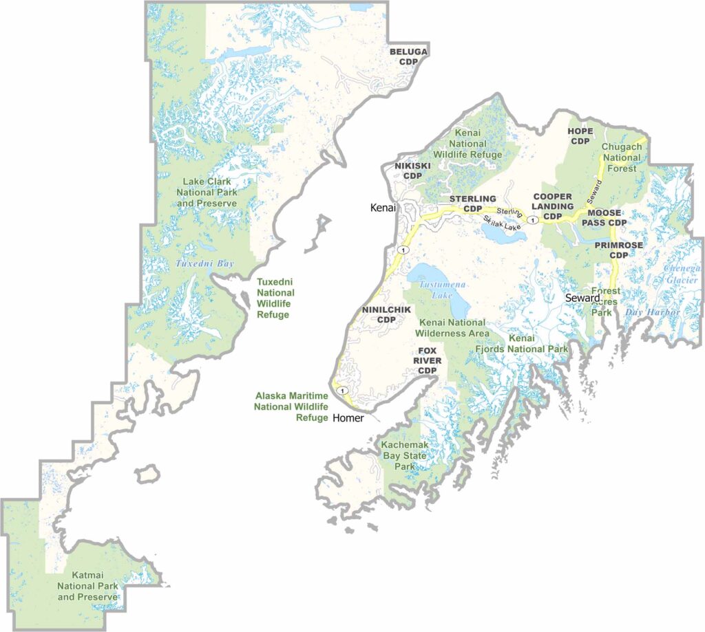
Kenai Peninsula Borough is located south of Anchorage, extending into the Gulf of Alaska. It is known for its beautiful scenery and excellent fishing. The borough has around 58,000 residents living across several towns, including Kenai, Soldotna, and Homer.
The borough features a mix of forests, mountains, and coastline. Wildlife is abundant, with bears, moose, and whales commonly found in the area. Winter offers opportunities for activities such as skiing and snowmobiling. The region also has a rich history, ranging from Native Alaskan cultures to Russian settlements.
Fishing is an important part of life on the Kenai Peninsula, both commercially and recreationally. The Kenai River is famous for its large salmon. Oil and gas also play an important role in the local economy. Tourism increases during the summer as visitors come to fish, hike, and see glaciers. Despite its large size, the borough maintains a strong sense of community.
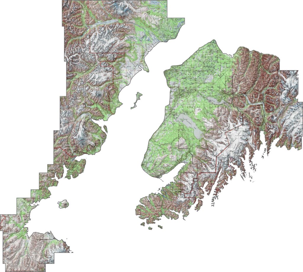
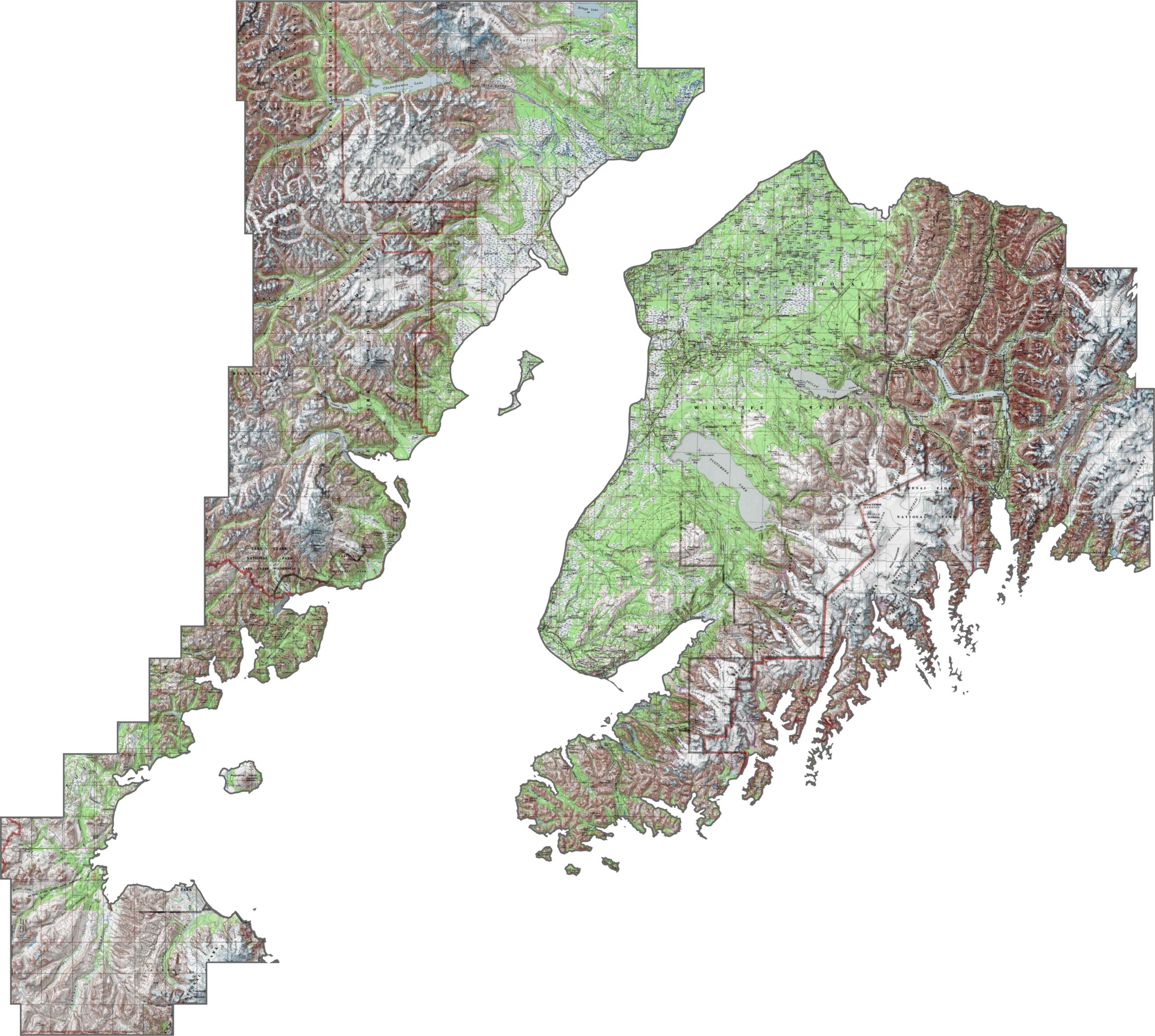
This topographic map of the Kenai Peninsula highlights its diverse terrain, with mountains, valleys, and coastal plains all clearly visible. The contour lines reveal countless lakes, rivers, and jagged mountain peaks across the landscape.
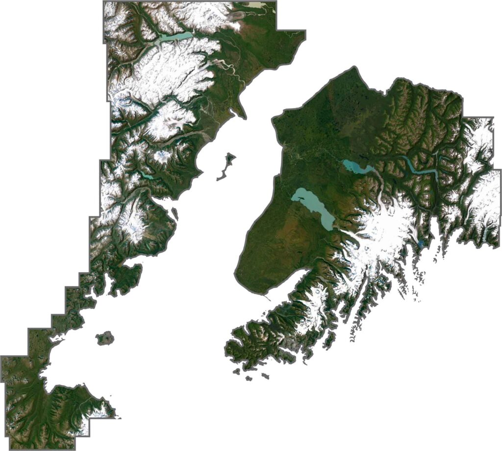
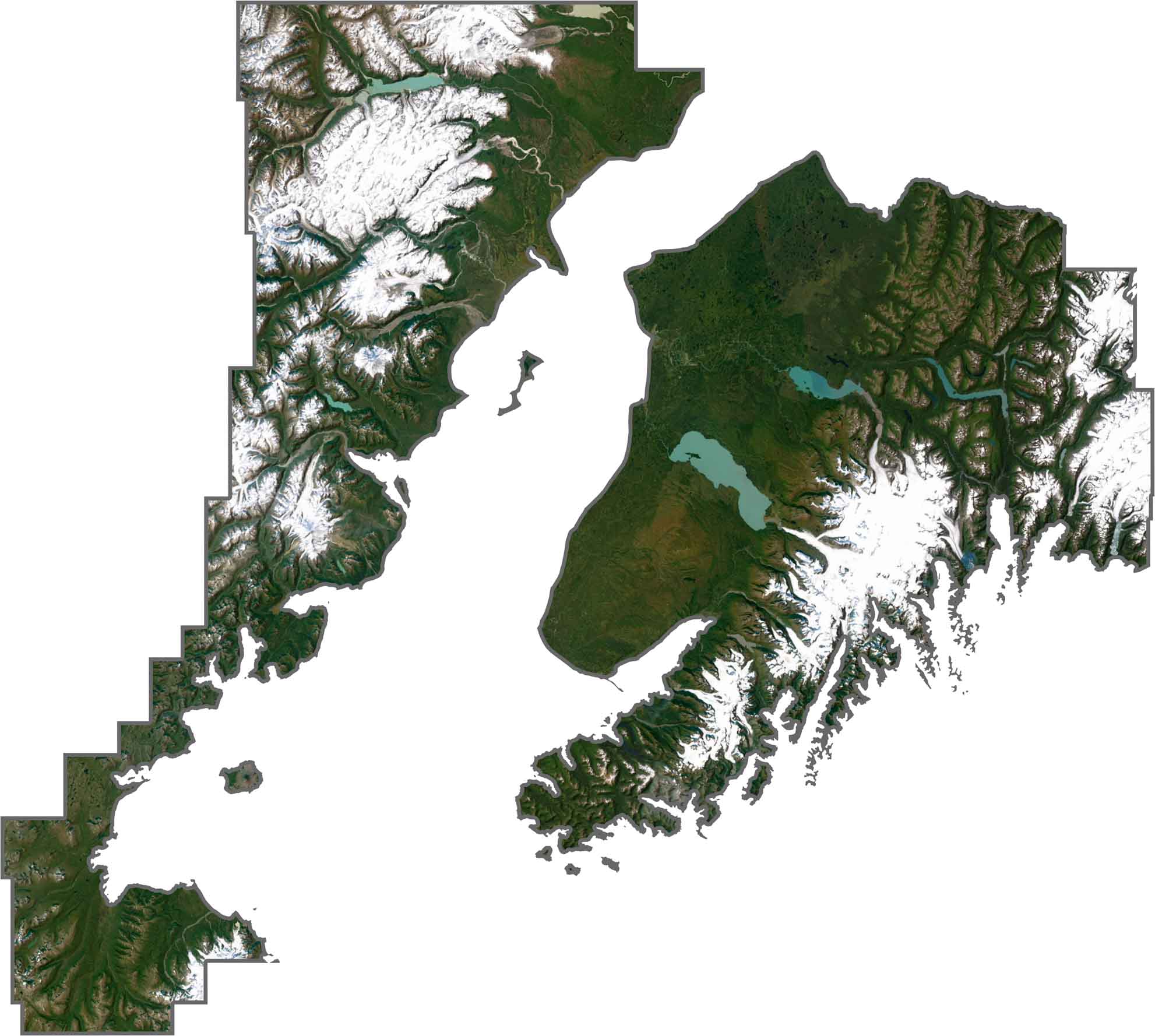
This satellite map of the Kenai Peninsula shows the peninsula extending into the Gulf of Alaska. You’ll spot glaciers, mountains, numerous lakes, and extensive coastlines that support the region’s fishing and tourism industries.
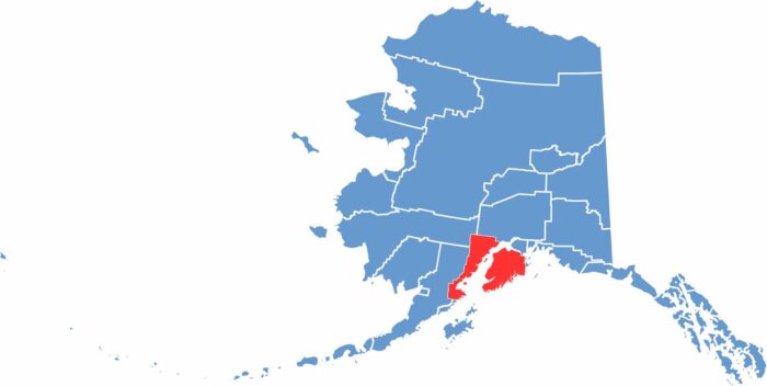
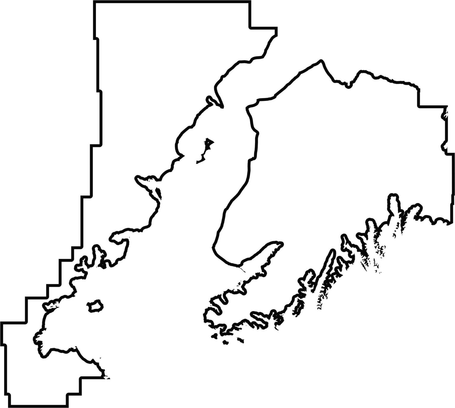
Check out this blank map of the Kenai Peninsula, featuring its distinctive shape extending into the Gulf of Alaska. The outline shows how water surrounds this large borough on three sides.
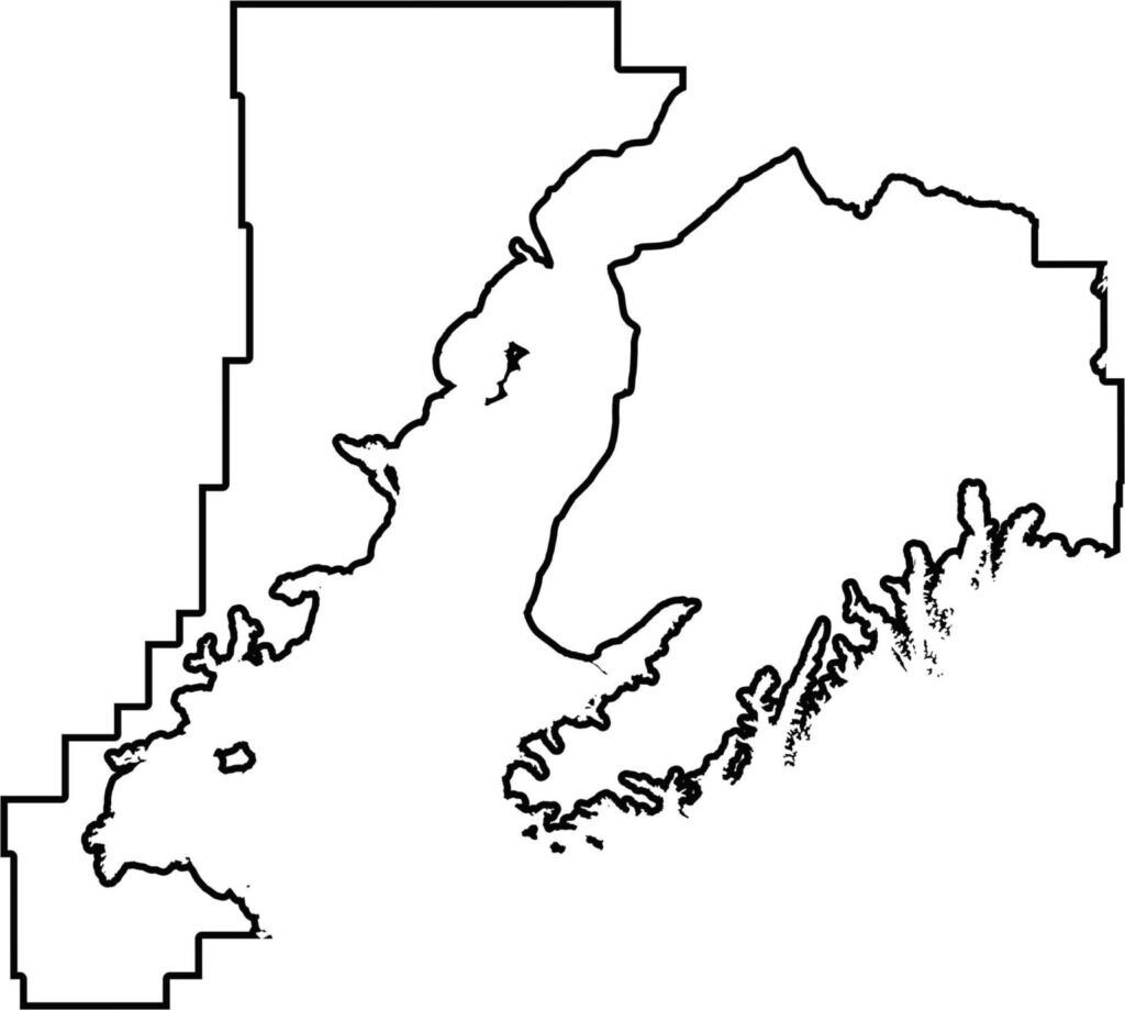
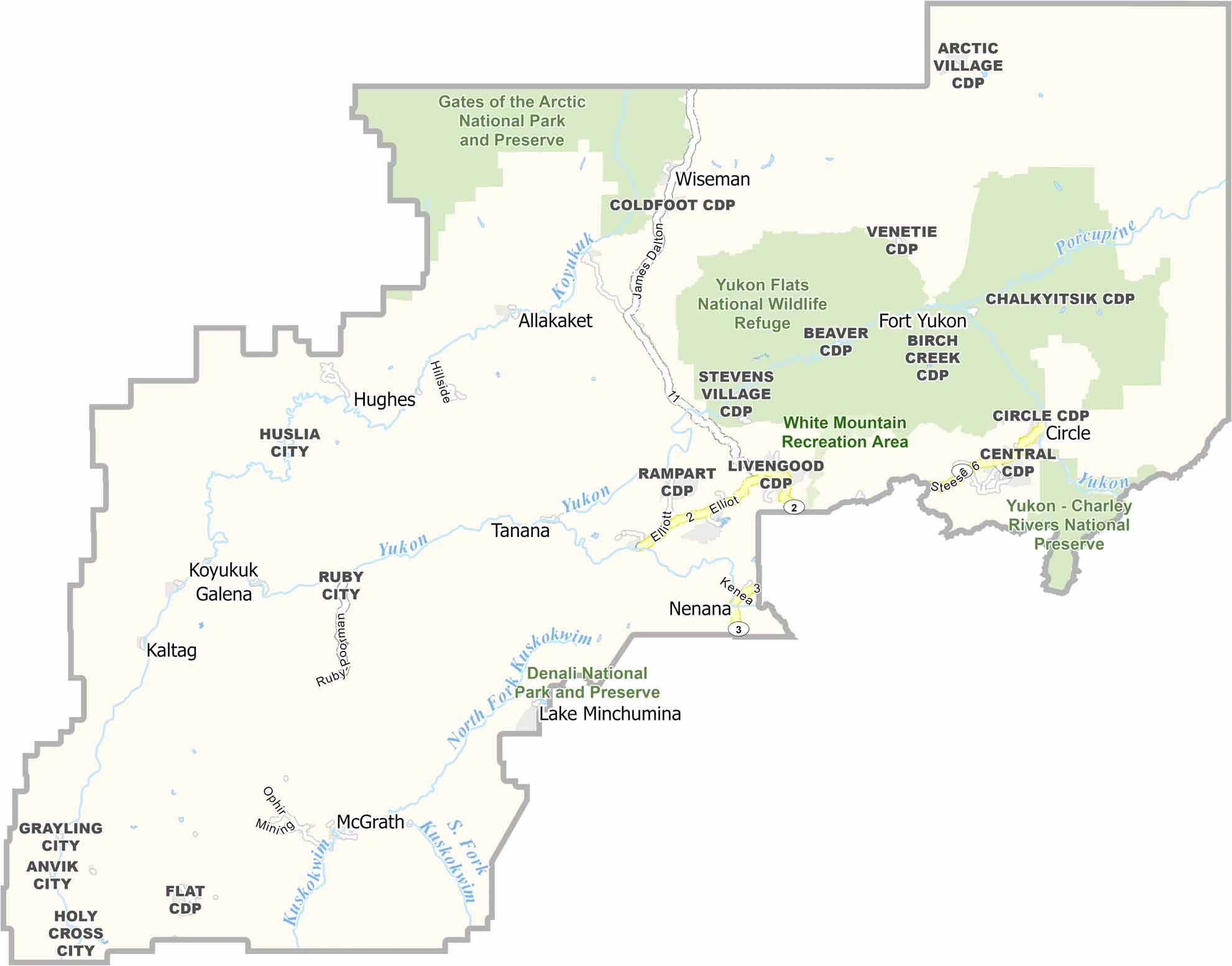
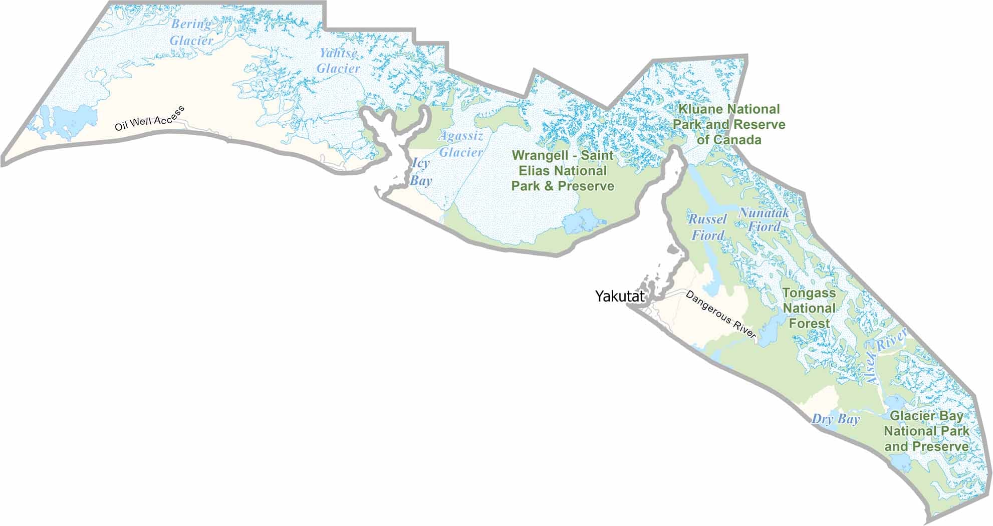
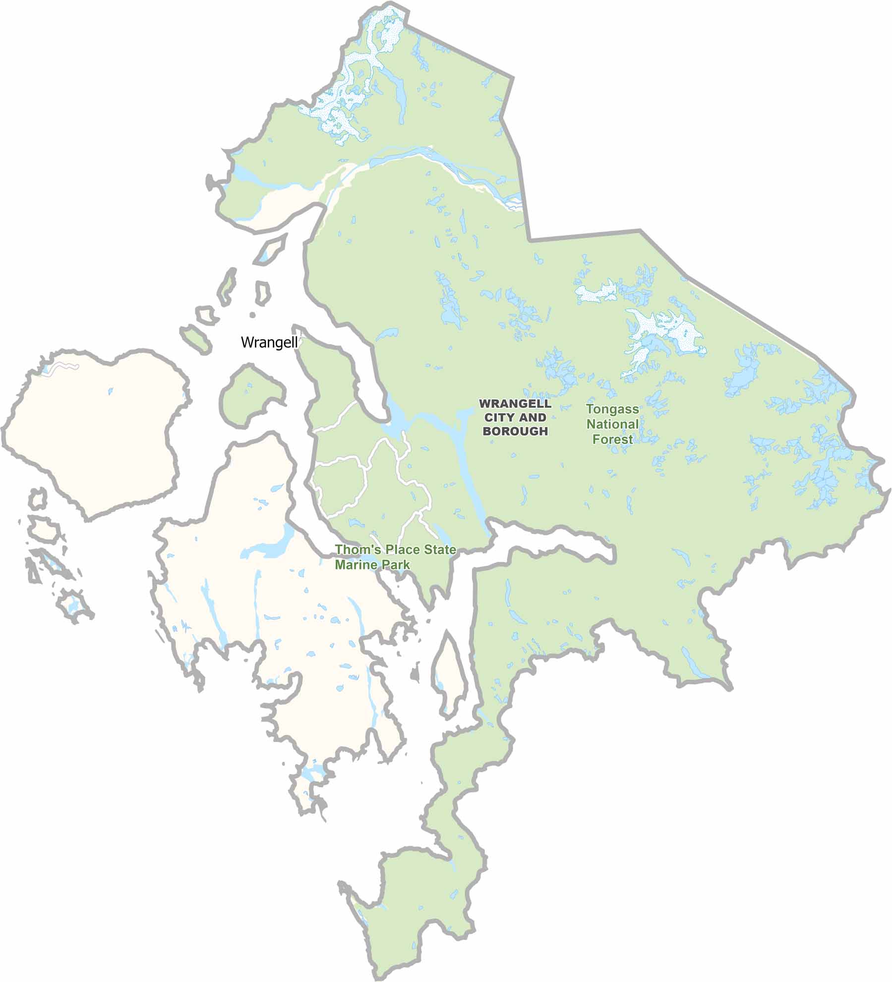
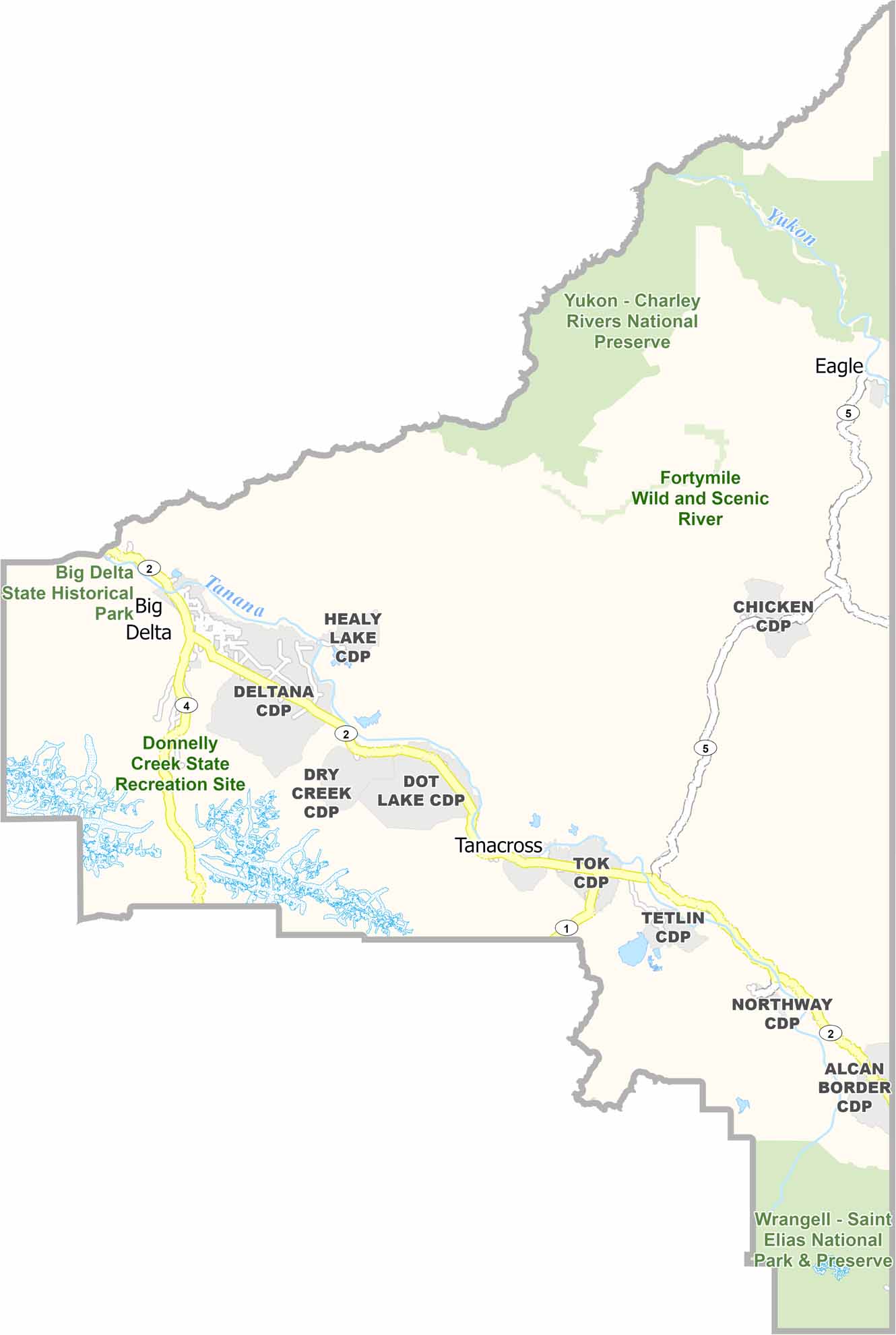
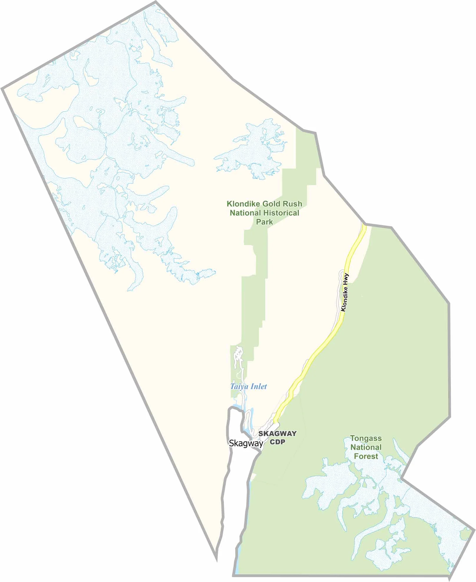
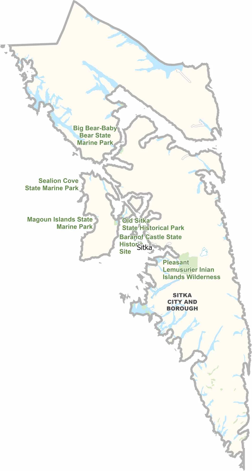
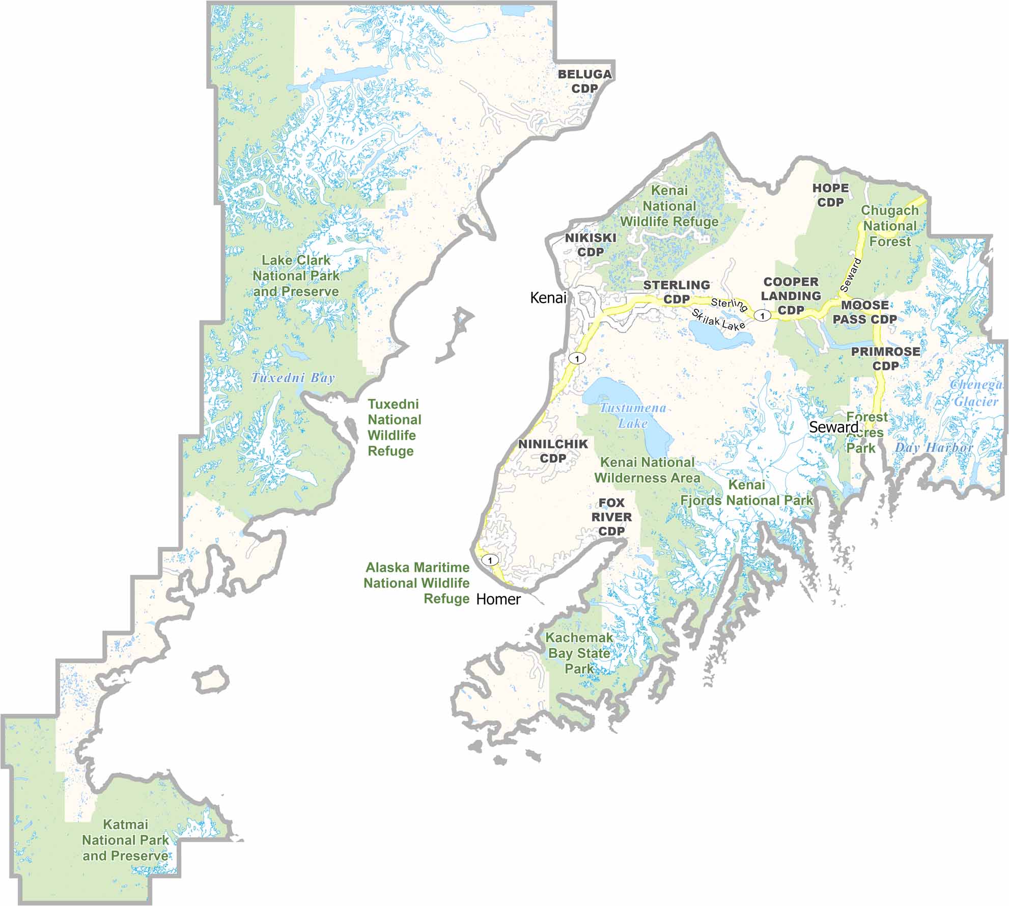
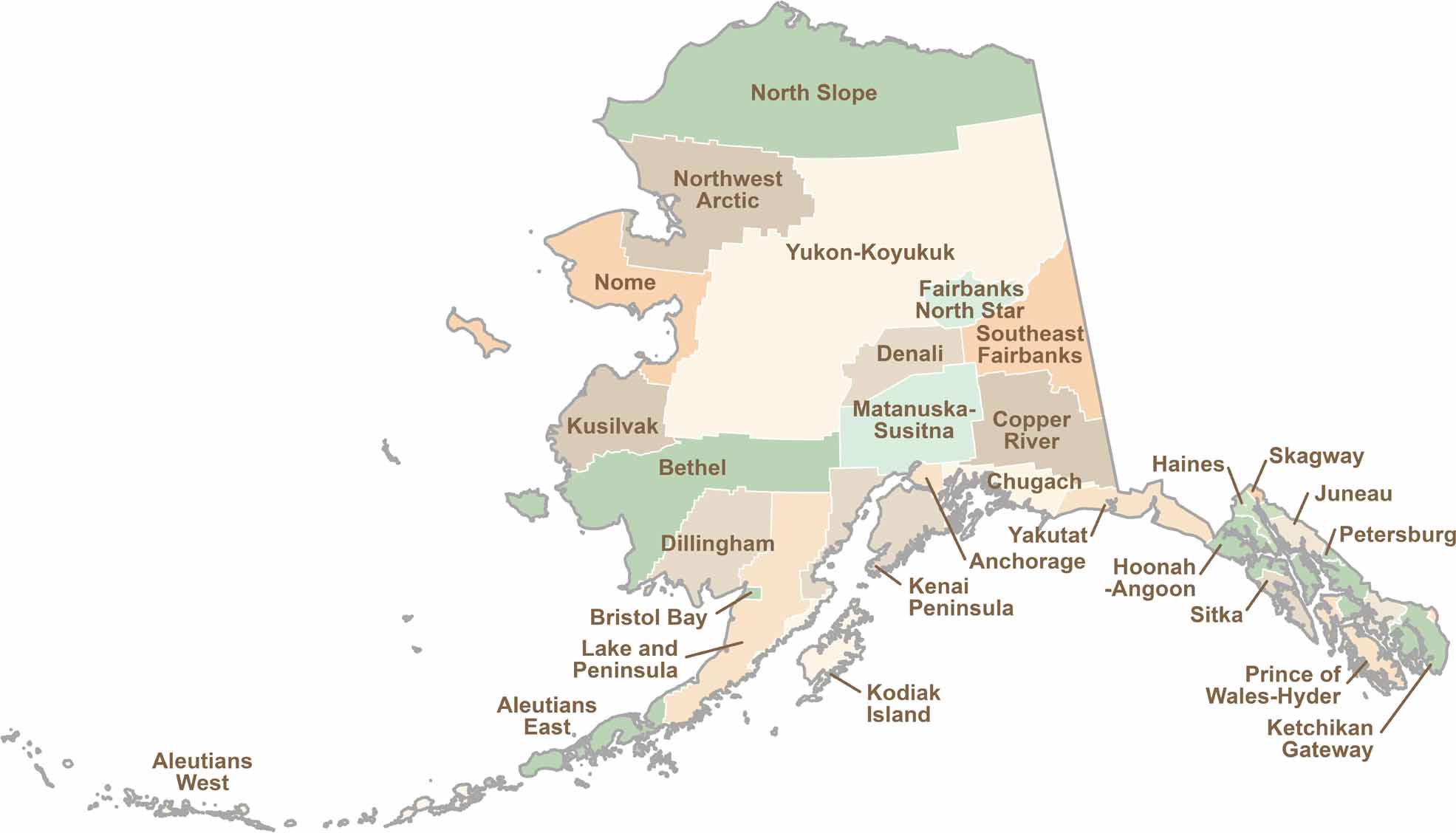
Explore Alaska’s boroughs and census areas with this detailed map, showcasing the state’s vast wilderness, rugged coastlines, and remote communities. Our Alaska Borough Map offers a clear view of the Last Frontier, highlighting its diverse landscapes and hard-to-reach regions.