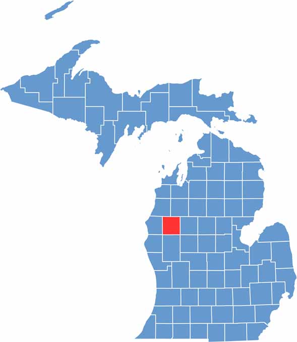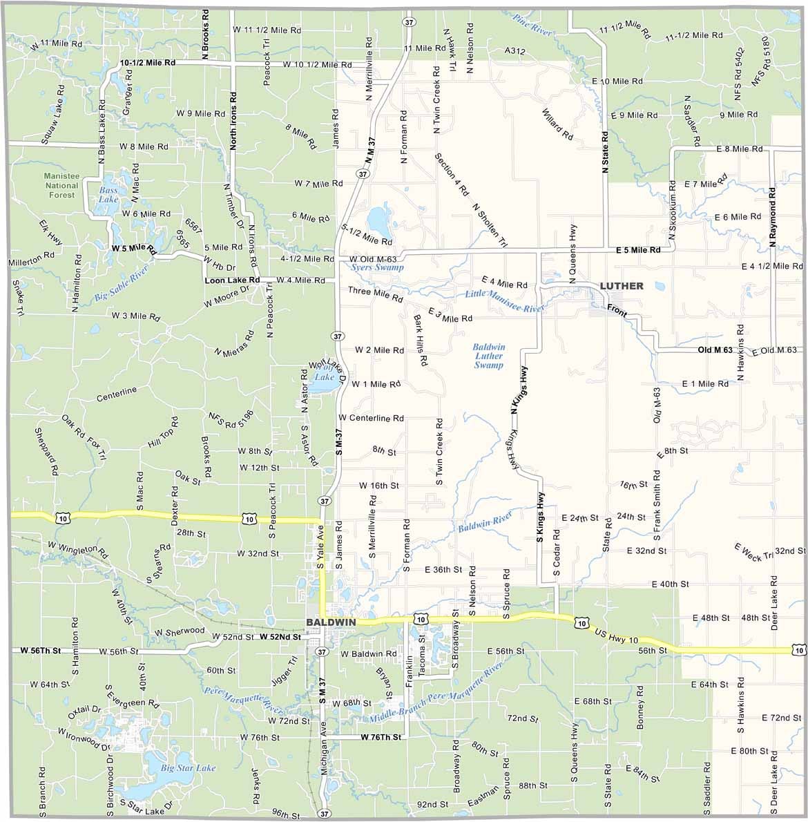
Nestled in the heart of Michigan’s Lower Peninsula, Lake County is a peaceful landscape of forests, rivers, and small towns where life moves at a slower pace. Pine and hardwood forests cover much of the area, with winding streams and quiet lakes adding to its natural charm.
The Pere Marquette River is well known for its excellent steelhead and salmon runs, attracting anglers from across the country. During the warmer months, outdoor activities take center stage, with hiking, camping, and canoeing among the most popular ways to explore the county.
When winter blankets Lake County in snow, snowmobilers and cross-country skiers take advantage of the snowy landscape. Baldwin, the county seat, serves as the community’s central hub. Despite its natural beauty, the county faces significant economic challenges, with many residents experiencing financial hardship.