
Lancaster County is just a short distance from Charlotte. It is where the Piedmont region of South Carolina shows off its glory. The area is steeped in history, from its Revolutionary War sites to its gold rush past.
The county seat, Lancaster, is a classic Southern small town with quite the arts scene. You will find red clay hills and rolling farmland here, dotted with peach orchards and cattle ranches.
People who love the outdoors enjoy Andrew Jackson State Park. The county also has a quirky claim to fame: it is the birthplace of Andrew Jackson, the seventh U.S. president.
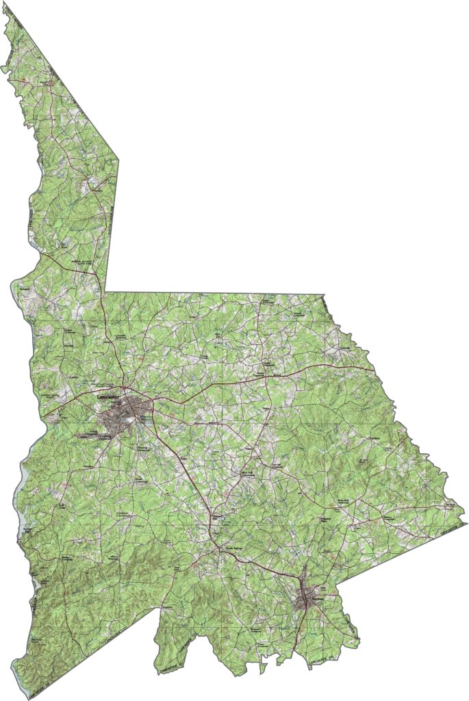
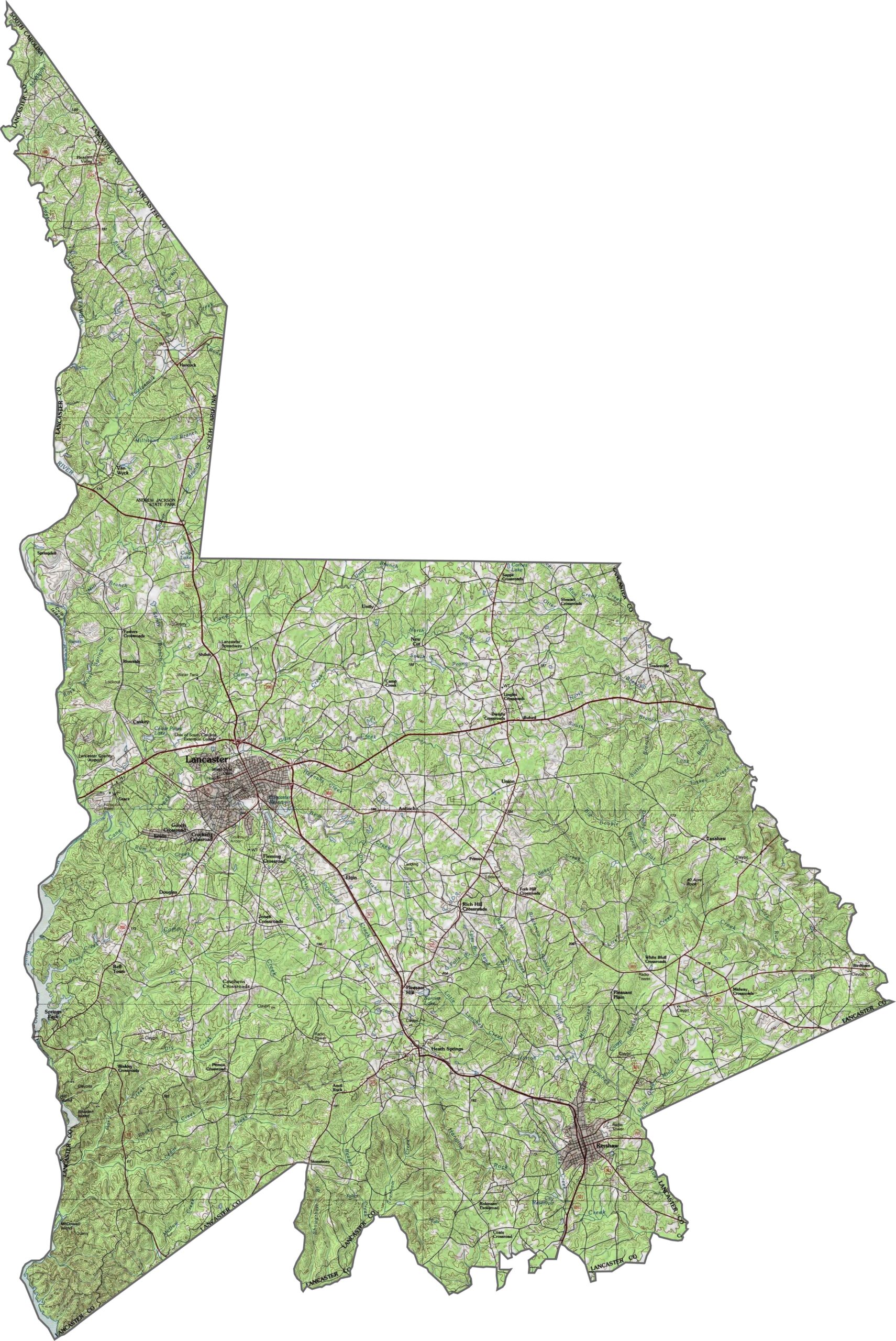
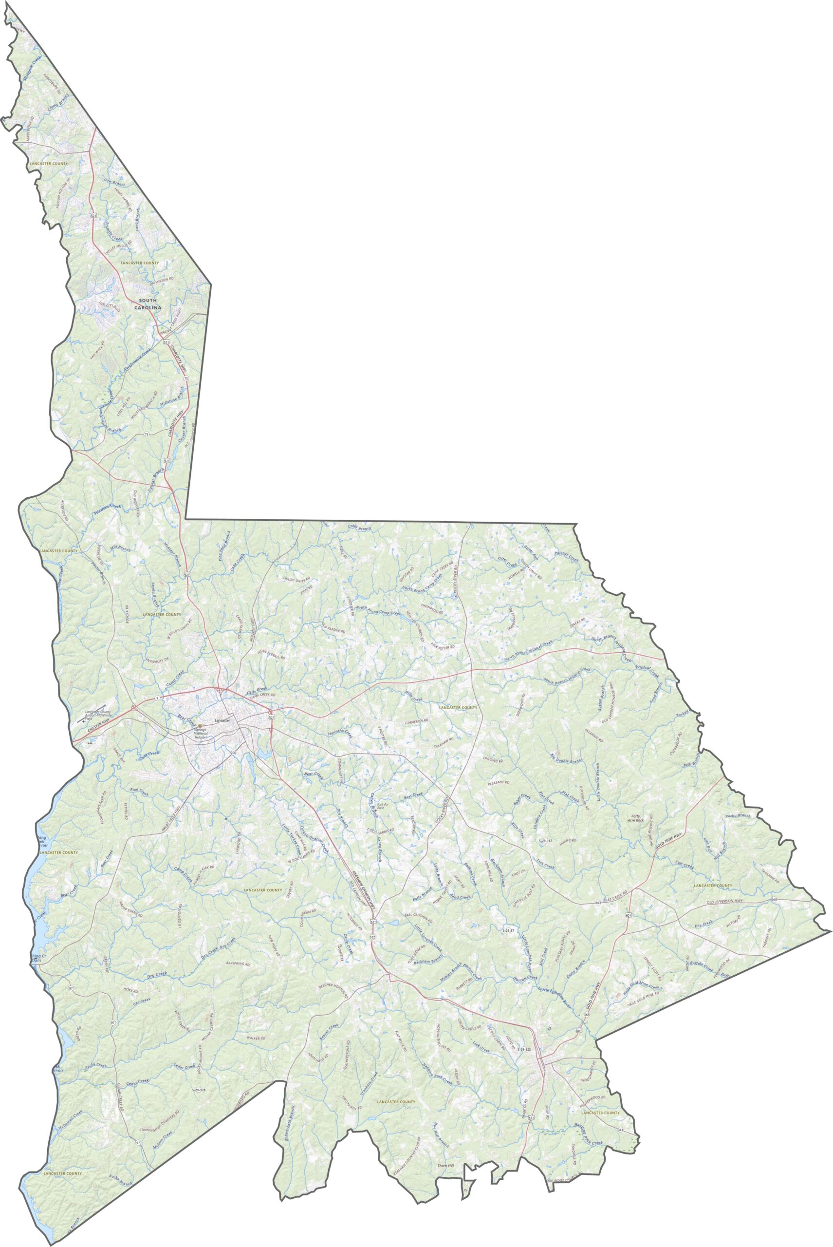
Lancaster County rises and falls across the Piedmont. It is not mountainous, but you will find some real elevation swings. Use our zoom tool to follow all of the terrain.
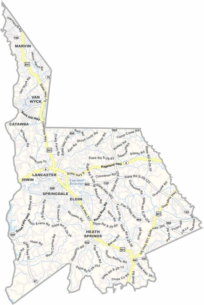
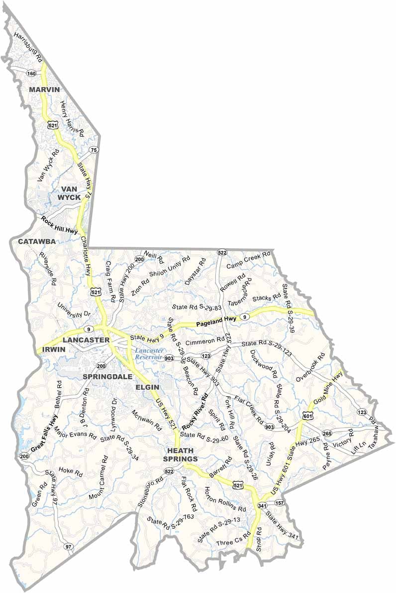
The road system in Lancaster County stretches out in long lines. Closer to the city of Lancaster, you will find plenty of intersections and local connectors. Everything ties together eventually, though.
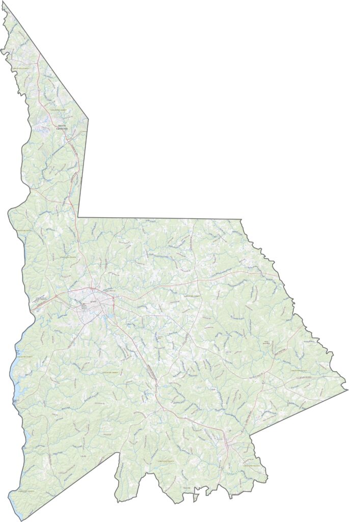
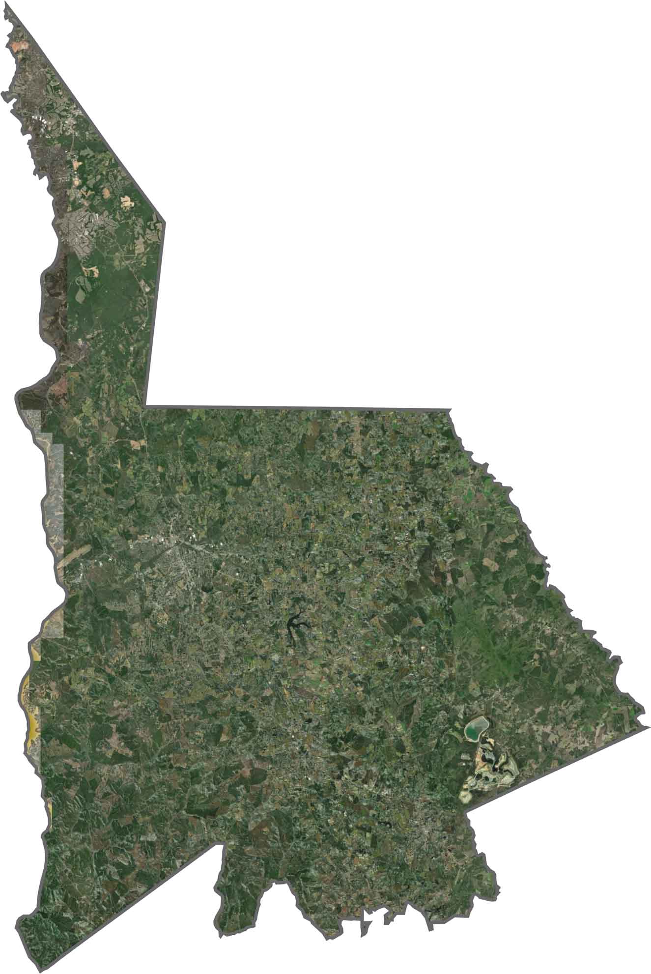
From above, the county is a mix of forest, farmland, and urban areas. Suburban growth has crept in from the south. The northern part appears greener, while the southern section shows more cleared land.
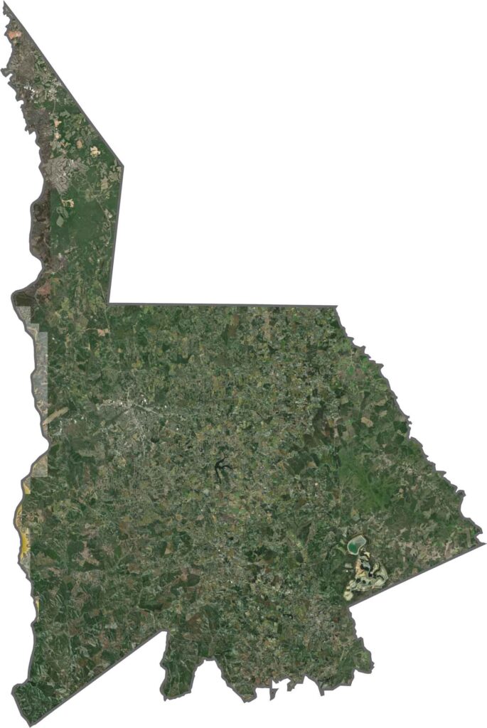
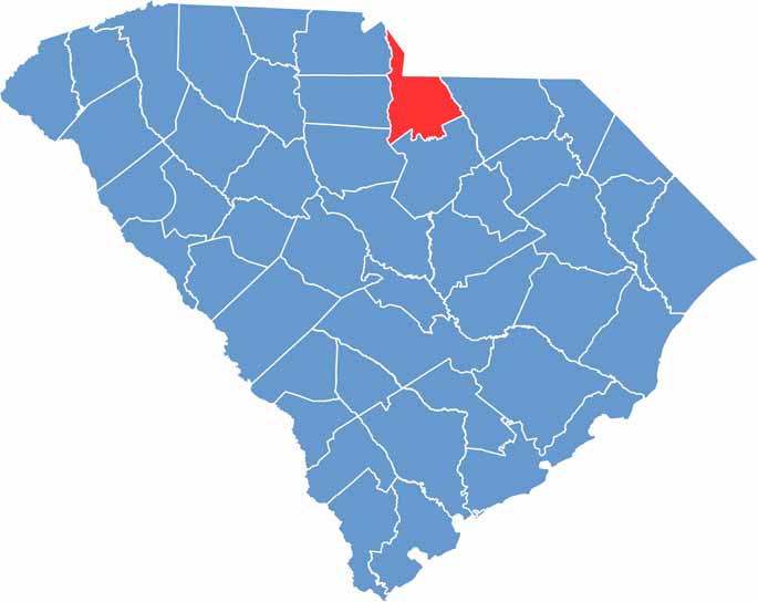
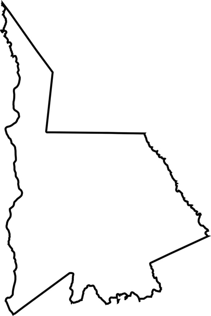
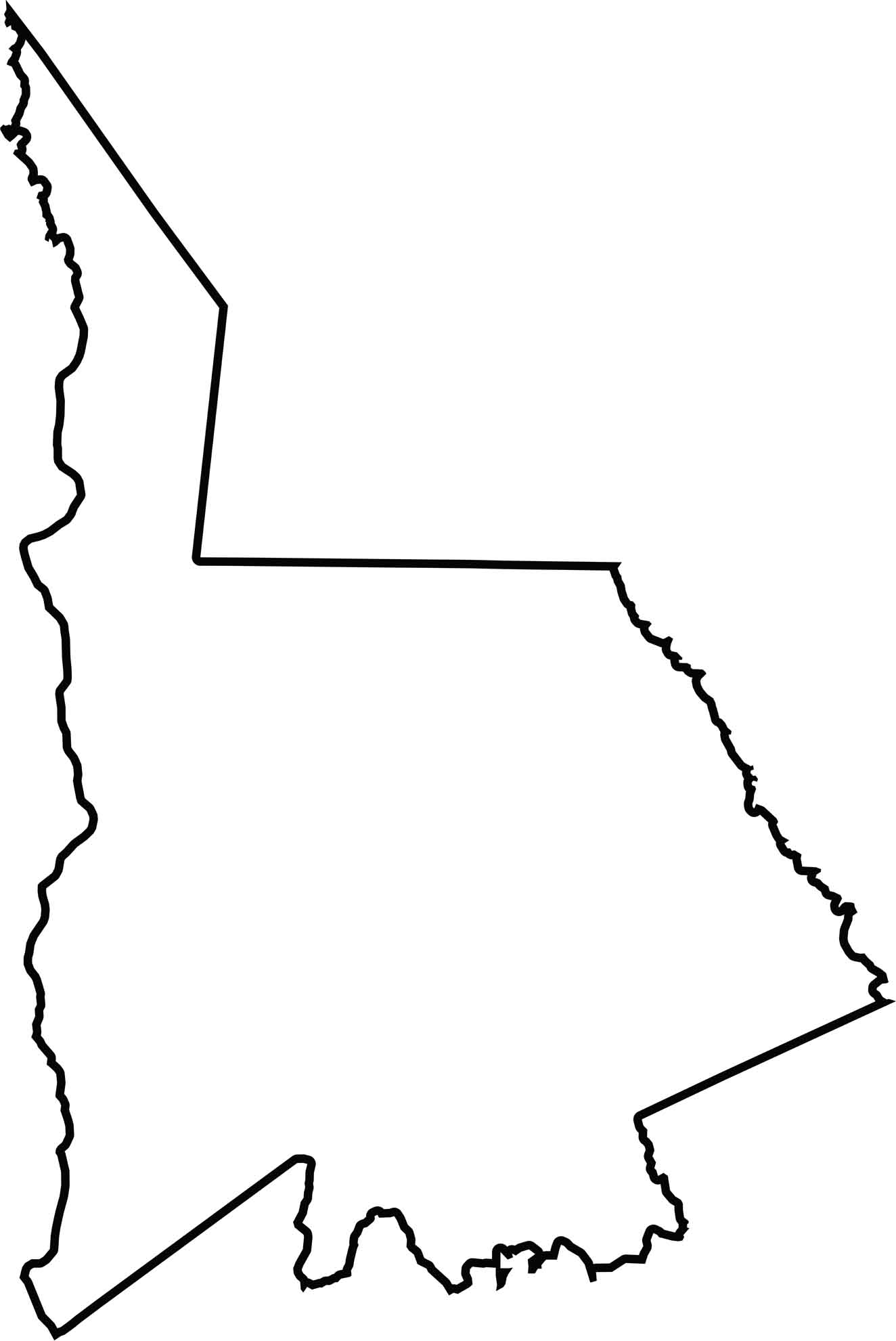
The county has a stretched-out shape, running north to south. The northern border touches North Carolina. Curves and slight notches break up the edges. The Catawba River forms the western boundary.






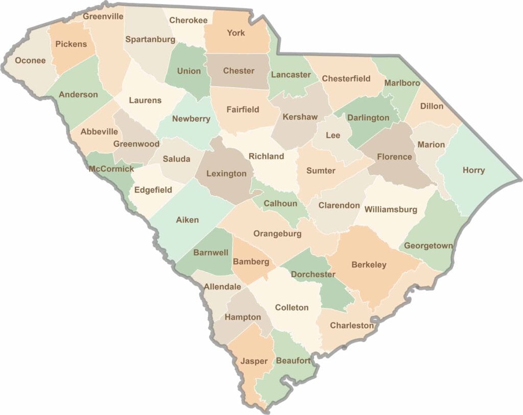
South Carolina’s 46 counties each have their own personality. Some are all about beach vibes, while others are steeped in history. You’ll find gators, grits, and gospel here—sometimes all in the very same afternoon.