
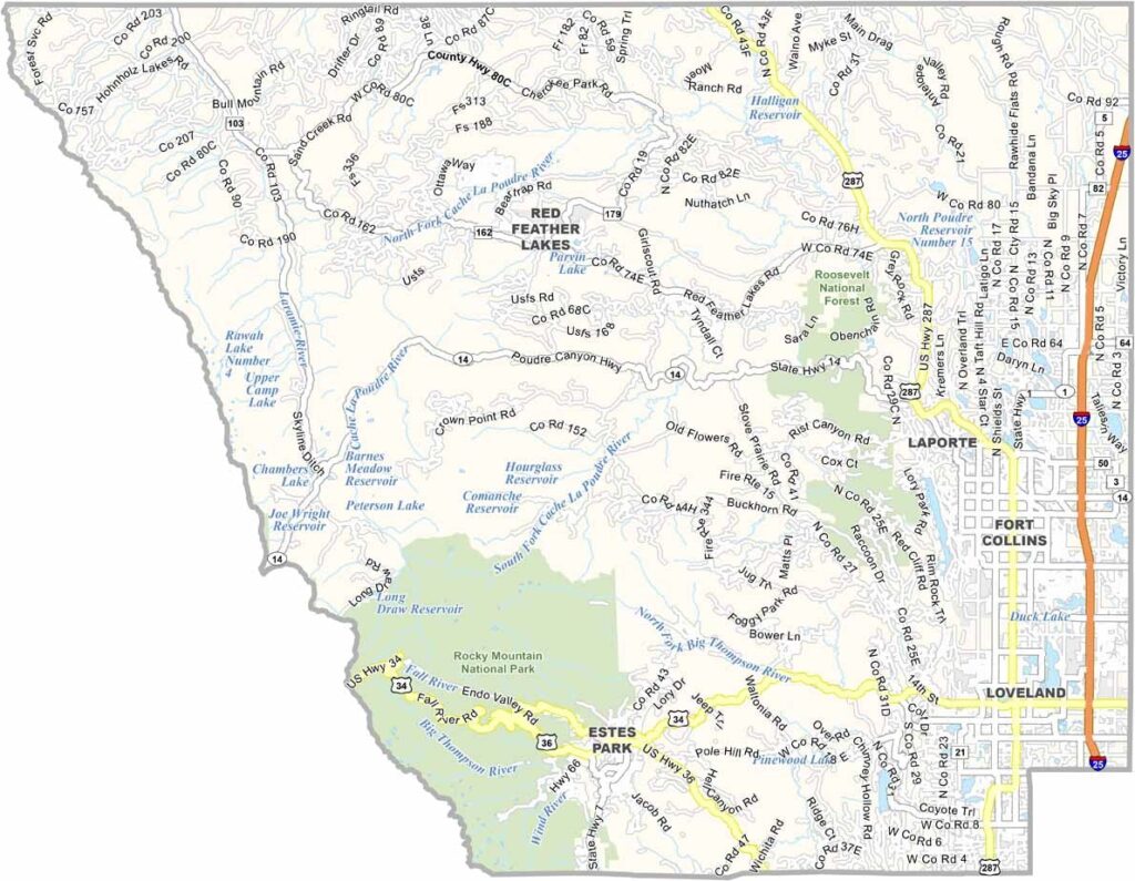
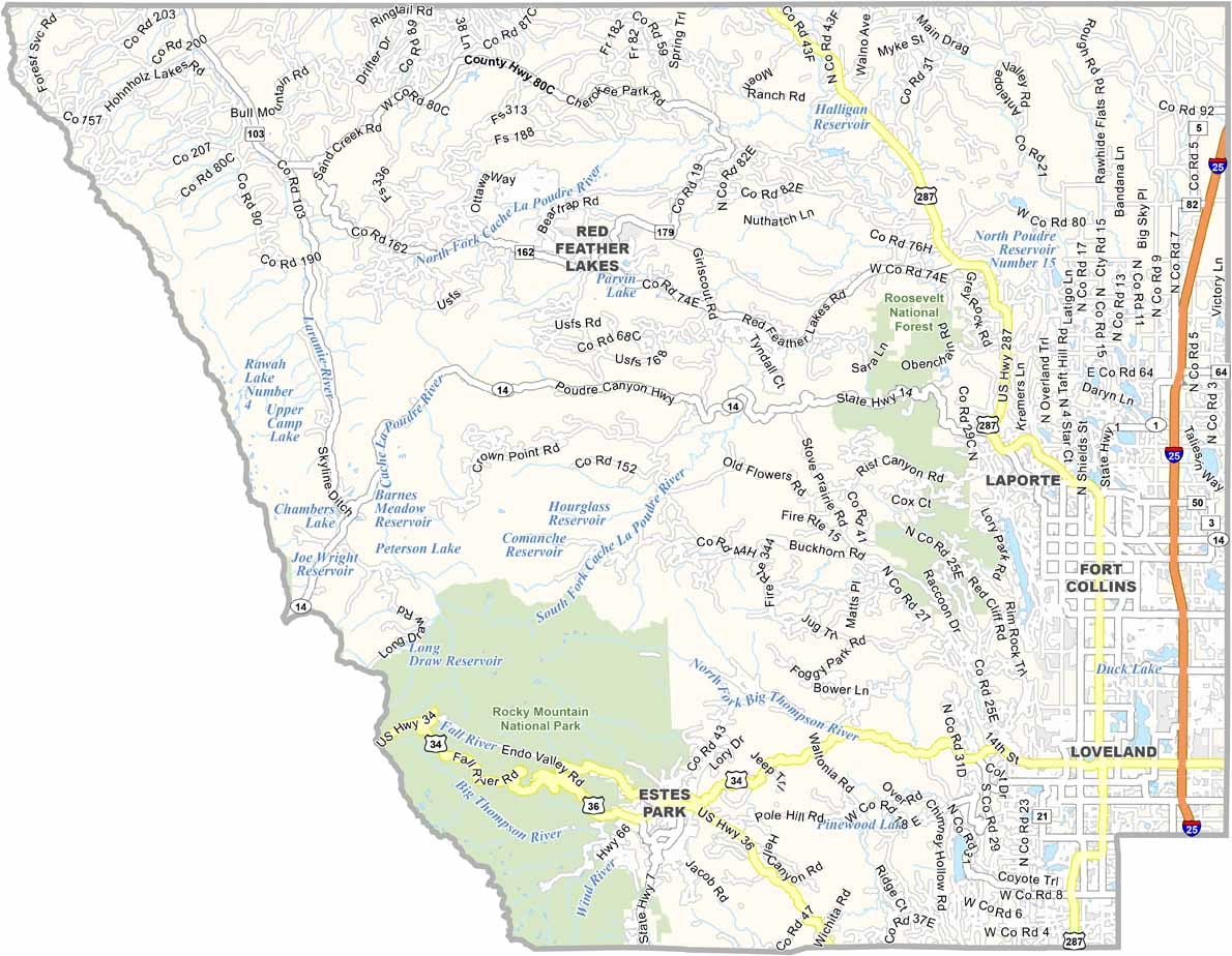
Larimer County is located along the northern Front Range of Colorado. Fort Collins is the largest city and is home to Colorado State University, a lively downtown, and a thriving craft beer scene.
The eastern part of the county is relatively flat, while the landscape rises dramatically toward the Rocky Mountains in the west. Rocky Mountain National Park covers part of the southwestern portion of the county, offering spectacular mountain scenery and outdoor recreation.
Estes Park serves as a gateway to Rocky Mountain National Park and becomes especially busy with visitors during the summer. Loveland is known for its sculpture park and arts scene, while hiking, fishing, and camping opportunities can be found throughout the county.
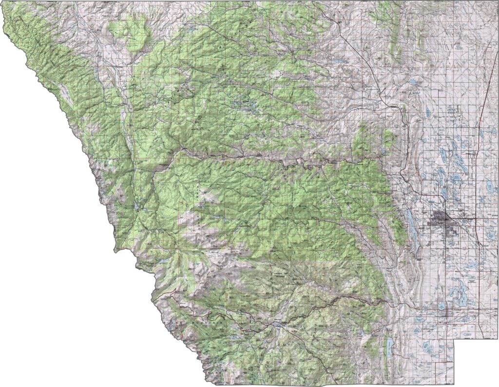
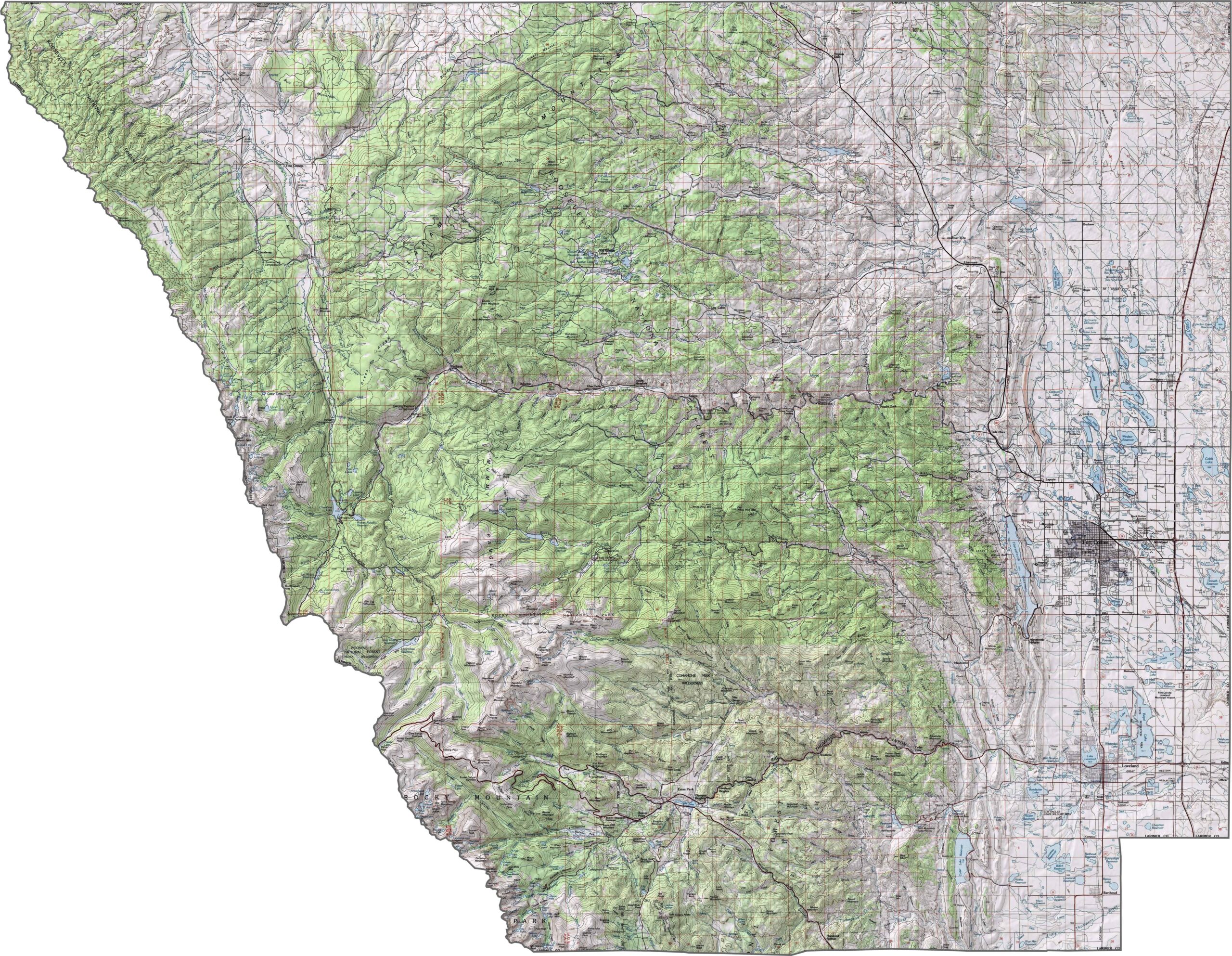
This topographic map highlights Larimer County’s diverse terrain, ranging from grasslands to alpine tundra, with elevations spanning from about 4,800 to 14,259 feet. Rocky Mountain National Park and Longs Peak, Colorado’s northernmost fourteener, are among the county’s most prominent features. Use our zoom tool to explore these dramatic elevation changes in greater detail.
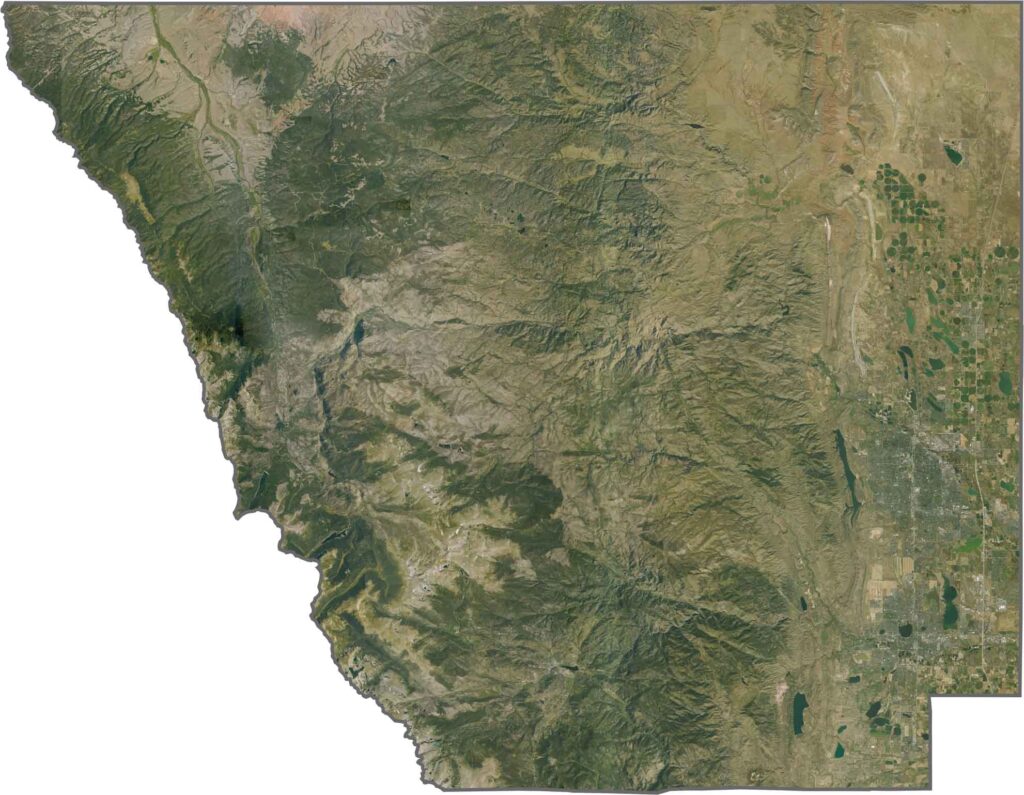
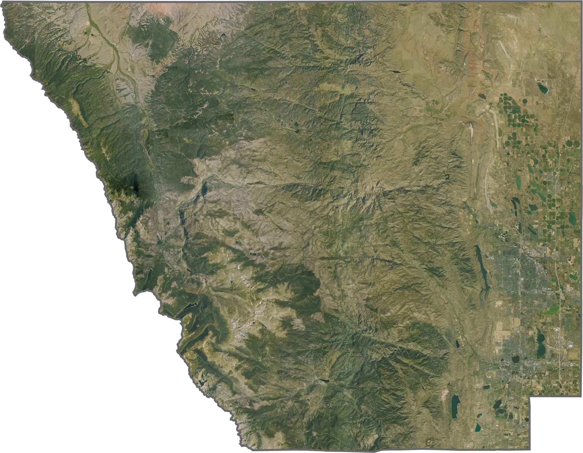
This satellite image shows the striking transition from the urban landscape of Fort Collins to the rugged wilderness of Rocky Mountain National Park. Horsetooth Reservoir stands out as a long, blue body of water along the foothills, contrasting with the surrounding developed and mountainous terrain.
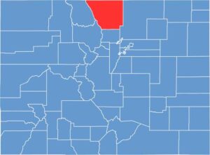
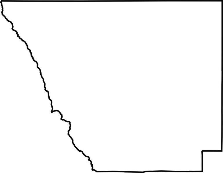
This outline map of Larimer County shows its roughly rectangular shape with a jagged western boundary formed by the Rocky Mountains and Rocky Mountain National Park. The simple outline highlights the county’s position between the Front Range foothills and the eastern plains.







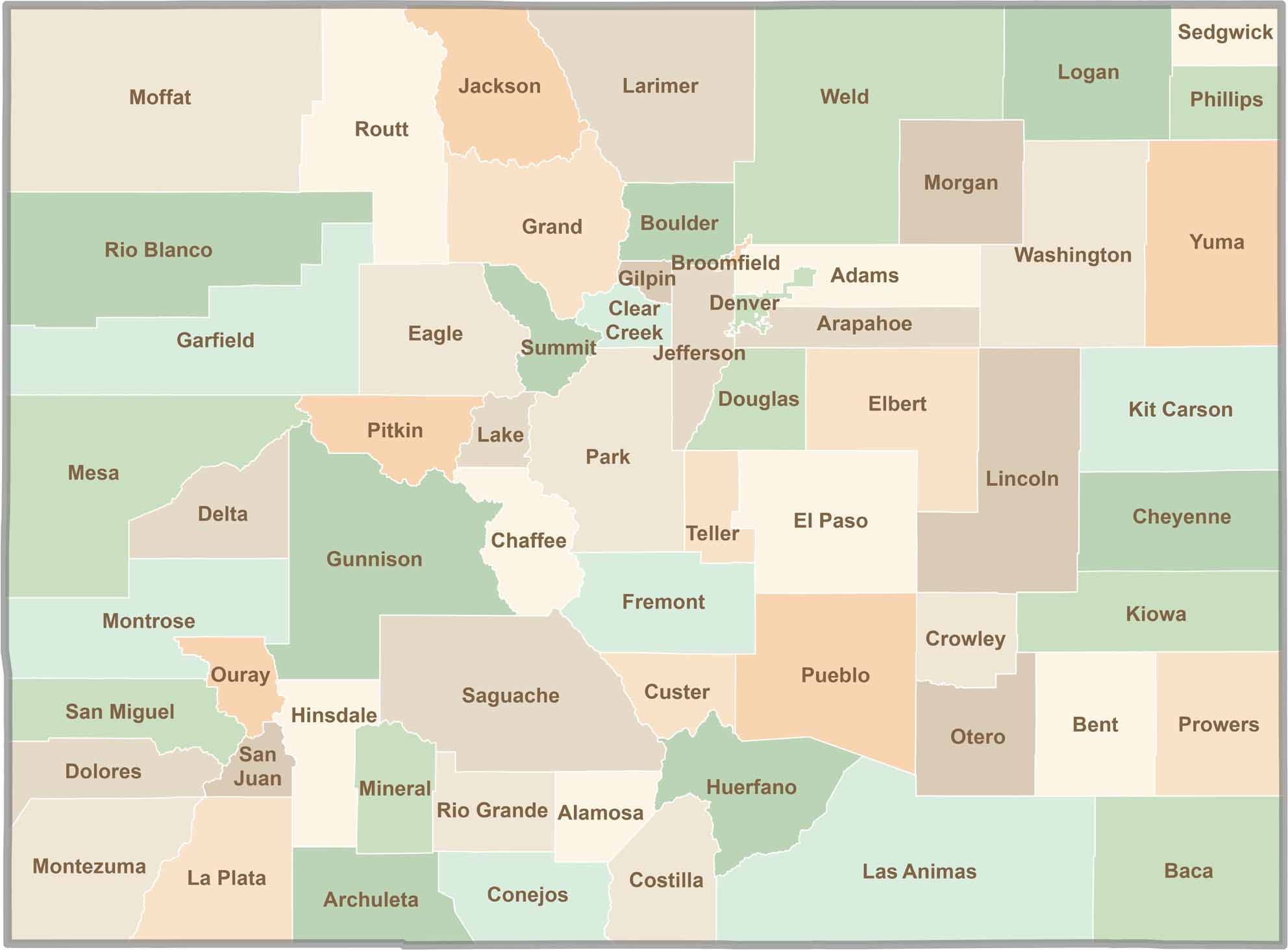
Think you know all 64 counties in Colorado? Our Colorado County Map brings them all together in one place, from the towering Rocky Mountains to the expansive eastern plains. Explore the Centennial State county by county and discover the diverse regions that make Colorado unique.