
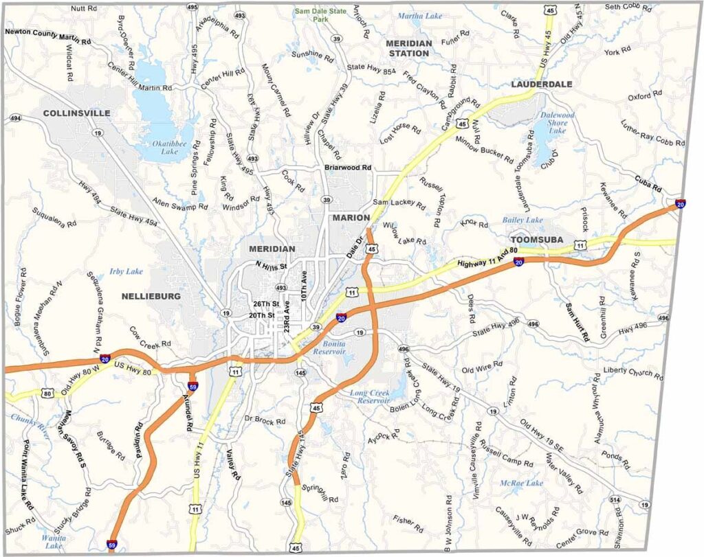
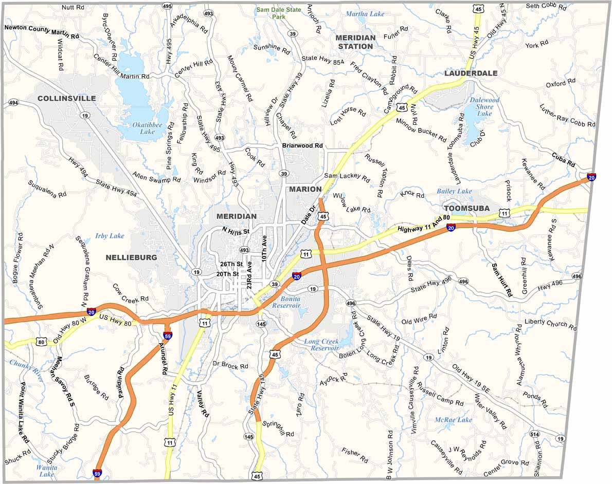
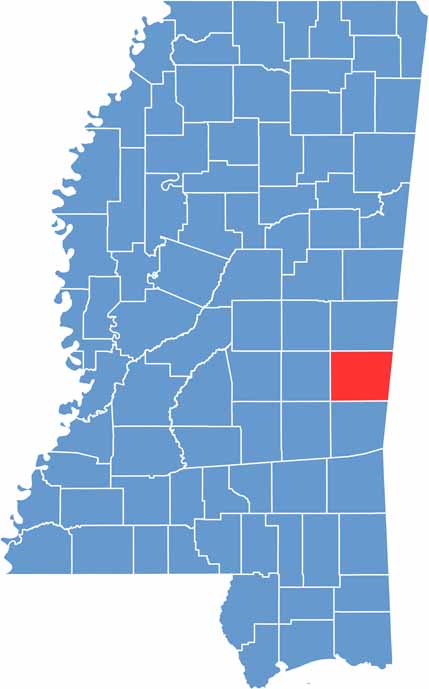
Lauderdale County sits along the eastern edge of Mississippi, right on the Alabama border. Its location gives residents a taste of life in two states.
Meridian is the county’s main city, filled with history and activity. The area has experienced plenty of ups and downs over the years, and Civil War enthusiasts may recognize it from several important battles.
Today, the focus is on community and growth. Naval Air Station Meridian brings people to the area from across the country. Music is also deeply rooted here, and the Mississippi Arts and Entertainment Experience is a must-see attraction.

Mississippi Counties
Rankin County Map Download Mississippi – Outline Map and Blank Map

Mississippi Counties
Madison County Map Download Mississippi – Outline Map and Blank Map

Mississippi Counties
Jackson County Map Download Mississippi – Outline Map and Blank Map

Mississippi Counties
Hinds County Map Download Mississippi – Outline Map and Blank Map

Mississippi Counties
Harrison County Map Download Mississippi – Outline Map and Blank Map

Mississippi Counties