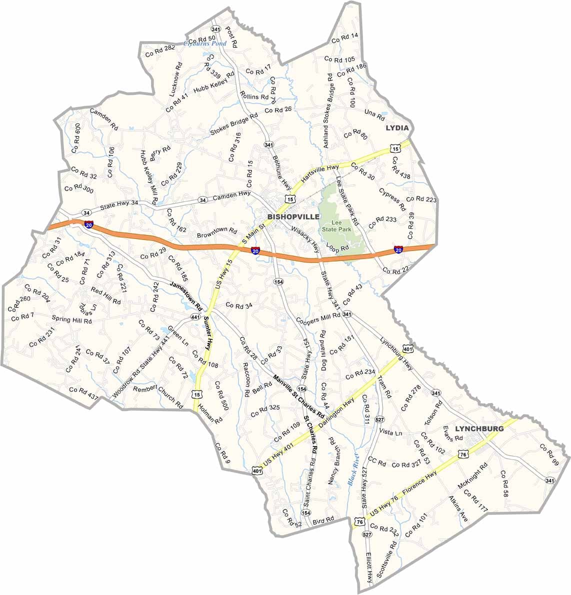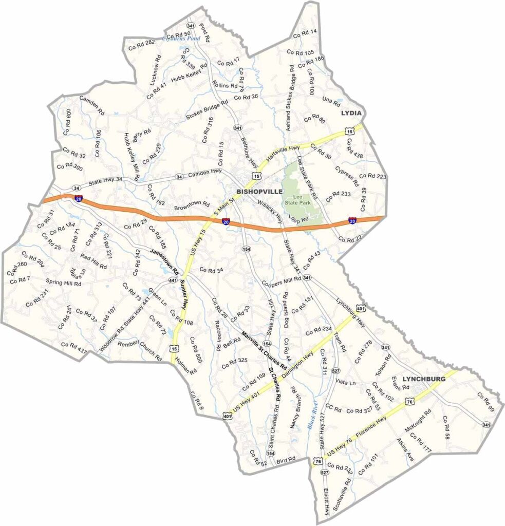
Lee County Map, South Carolina

Lee County, South Carolina

Lee County is in the eastern part of South Carolina, close to the middle of the state. It's a place where history runs deep. The county is named after Revolutionary War hero Robert E. Lee.

Bishopville, the county seat, is famous for its Button Museum. Yep, a whole museum dedicated to buttons. Weird, right? But it's cooler than you'd think.

Lee County has its share of natural beauty too. The Lynches River runs through it, perfect for kayaking or fishing if that's your thing. The locals are proud of their agricultural heritage, and cotton and soybeans are big crops here.
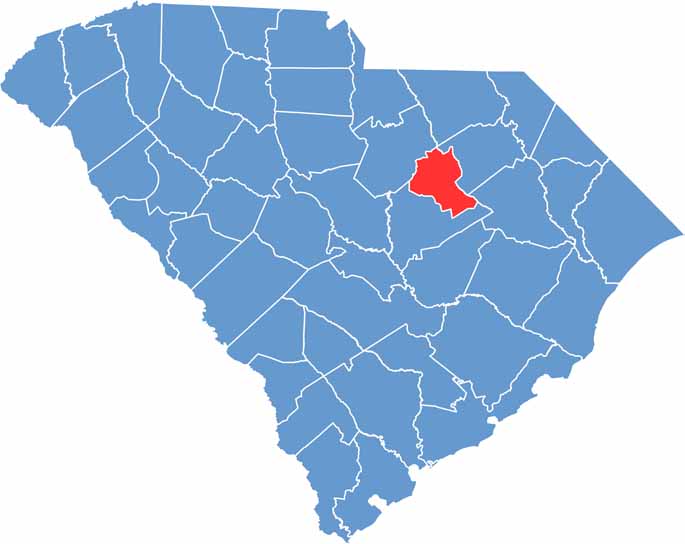

Location map of Lee County, South Carolina
CategoryDetails
County NameLee County
County SeatBishopville
EtymologyNamed after Confederate General Robert E. Lee
Cities, Towns, and CommunitiesBishopville, Lynchburg
Interstates and HighwaysInterstate 20, U.S. Highway 15, U.S. Highway 341
FIPS Code45-061
Total Area (Land and Water)411 square miles (410 sq mi land, 1 sq mi water)
Adjacent Counties (and Direction)Darlington County (Northeast), Florence County (East), Sumter County (South), Kershaw County (Northwest)
Time ZoneEastern Time Zone (EST)
StateSouth Carolina
Coordinates34°13'N, 80°15'W
Major LandmarksLee State Park, Pearl Fryar's Topiary Garden, South Carolina Cotton Museum
Scroll to Top