
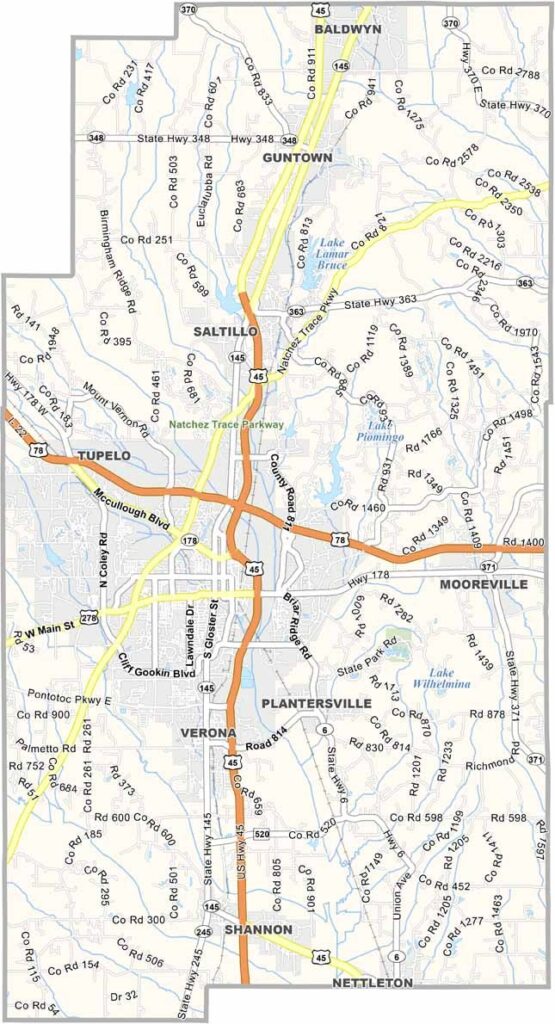
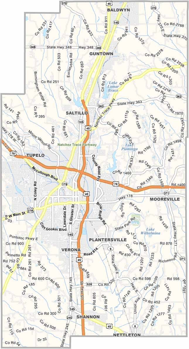
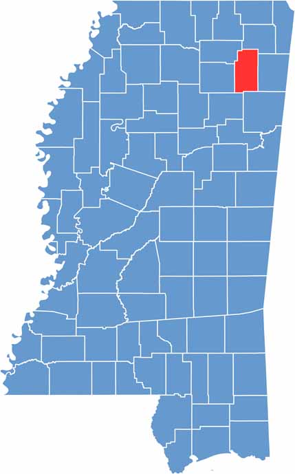
Lee County is up in northeast Mississippi. Tupelo is the star of the show here, famous as Elvis Presley's birthplace. But there's more to this place than just the King of Rock 'n' Roll.
The county is a mix of city life and country roads. The Natchez Trace Parkway cuts through, perfect for a scenic drive. Folks here are proud of their manufacturing heritage.
It's not all work, though. Weekends might find you fishing at Lake Lamar or catching a show at the Tupelo Civic Auditorium. The county has been growing steadily, attracting new businesses and families.

Mississippi Counties
Rankin County Map Download Mississippi – Outline Map and Blank Map

Mississippi Counties
Madison County Map Download Mississippi – Outline Map and Blank Map

Mississippi Counties
Jackson County Map Download Mississippi – Outline Map and Blank Map

Mississippi Counties
Hinds County Map Download Mississippi – Outline Map and Blank Map

Mississippi Counties
Harrison County Map Download Mississippi – Outline Map and Blank Map

Mississippi Counties