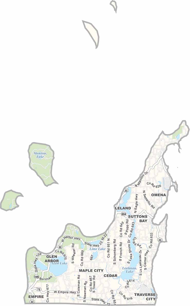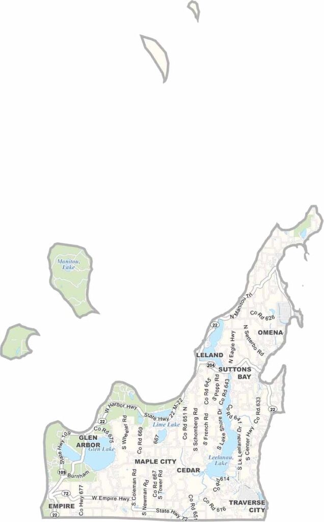
Leelanau County Map, Michigan

Leelanau County, Michigan

Leelanau County sits at the tip of Michigan’s “pinky finger,” jutting into Lake Michigan. It features rolling hills, sandy beaches, and orchards, with cherry trees and grape vines thriving in the temperate climate.

The Sleeping Bear Dunes National Lakeshore dominates the western shore. Quaint towns like Leland and Suttons Bay line the coastline.

Inland, you’ll find dense forests and crystal-clear lakes perfect for kayaking and stargazing. The Leelanau Peninsula is a playground for anyone looking to escape the grind of city life.
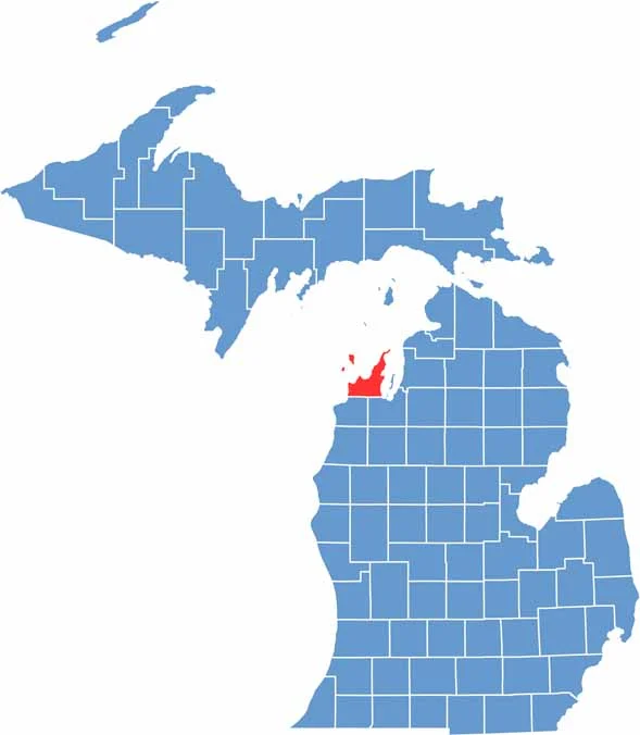

Leelanau County location map of Michigan
CategoryDetails
County NameLeelanau County
County SeatSuttons Bay Township
Cities, Towns, and CommunitiesSuttons Bay, Leland, Northport, Glen Arbor, Empire, Lake Leelanau, Cedar
Interstates and HighwaysM-22, M-72
FIPS Code26-089
Total Area (Land and Water)2,532 square miles (Land: 348 sq mi, Water: 2,184 sq mi)
Adjacent Counties (and Direction)Grand Traverse County (Southeast), Benzie County (Southwest)
Time ZoneEastern Time Zone (ET)
StateMichigan
Coordinates45.0824° N, 85.8002° W
EtymologyNamed by Henry Schoolcraft from a pseudo-Native American word
Major LandmarksSleeping Bear Dunes National Lakeshore, Leland (Fishtown), Leelanau State Park, Glen Lake
PopulationApproximately 23,000
Scroll to Top