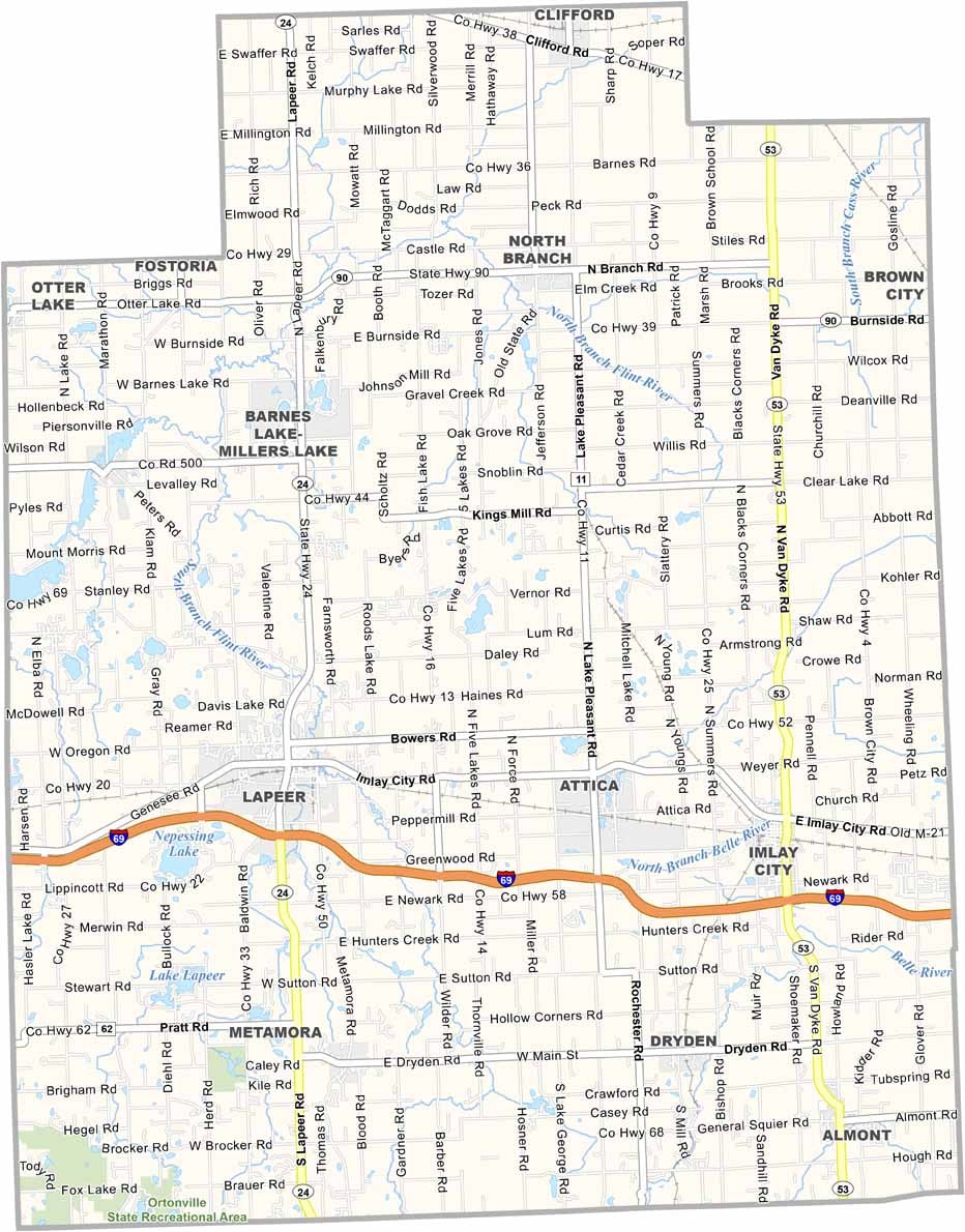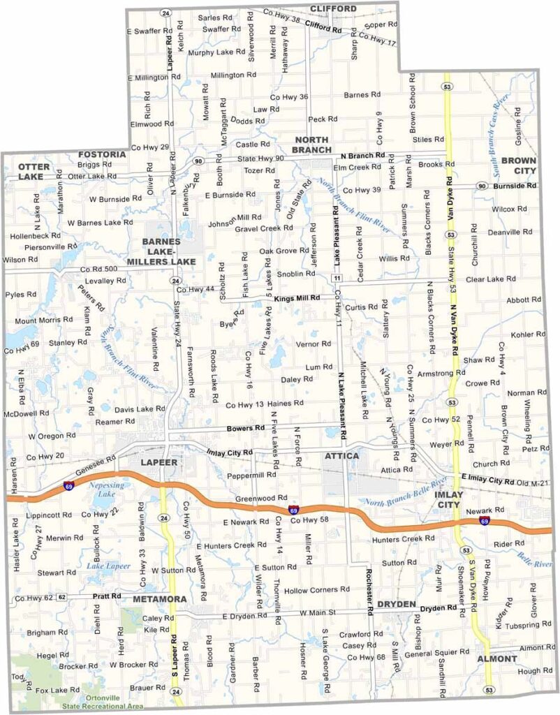
Lapeer County Map, Michigan

Lapeer County, Michigan

Michigan’s mitten-shaped landscape is home to many rising stars, and Lapeer County is certainly one of them. Located in the eastern part of Michigan’s Lower Peninsula, the county is only about an hour north of Detroit.

Lapeer County offers a little bit of everything, from rolling hills and sparkling lakes to forests that burst with brilliant colors in the fall. The county seat, also named Lapeer, is a charming city known for its historic downtown and small-town character.

Locals take pride in the county’s strong agricultural roots, with farms stretching across much of the countryside. But it’s not all fields and barns—fishing, hiking, and camping are also popular activities, giving residents and visitors plenty of ways to enjoy the outdoors.
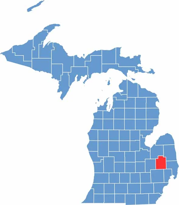

Lapeer County location map of Michigan
CategoryDetails
County NameLake County
County SeatBaldwin
PopulationApproximately 12,000
Cities, Towns, and CommunitiesBaldwin, Luther, Chase, Idlewild, Irons, Branch
Interstates and HighwaysUS 10, M-37
FIPS Code26-085
Total Area (Land and Water)574 square miles (Land: 553 sq mi, Water: 21 sq mi)
Adjacent Counties (and Direction)Osceola County (East), Oceana County (Southwest), Wexford County (Northeast), Mason County (West), Manistee County (Northwest), Newaygo County (South), Mecosta County (Southeast)
Time ZoneEastern Time Zone (ET)
StateMichigan
Coordinates43.9209° N, 85.8554° W
EtymologyNamed for its many lakes, and being near Lake Michigan
Major LandmarksManistee National Forest, Pere Marquette State Trail, Baldwin River, Big Star Lake
Scroll to Top