
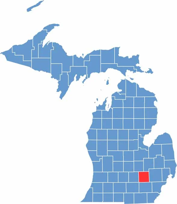
Livingston County is located in southeastern Michigan. The county has a bit of everything, with rolling hills, sparkling lakes, and forests that seem to stretch forever.
Brighton is the largest city and a hotspot for shopping, while Howell serves as the county seat. What makes Howell special is the annual Michigan Challenge Balloonfest, which fills the sky with colorful hot air balloons.
You can also hike through Island Lake Recreation Area or catch a concert at the Center for Performing Arts. Livingston County is about an hour northwest of Detroit, making it a great escape from city life.
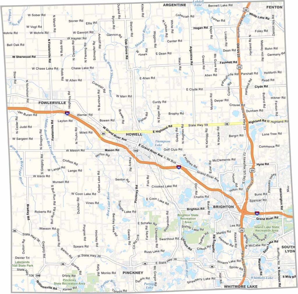
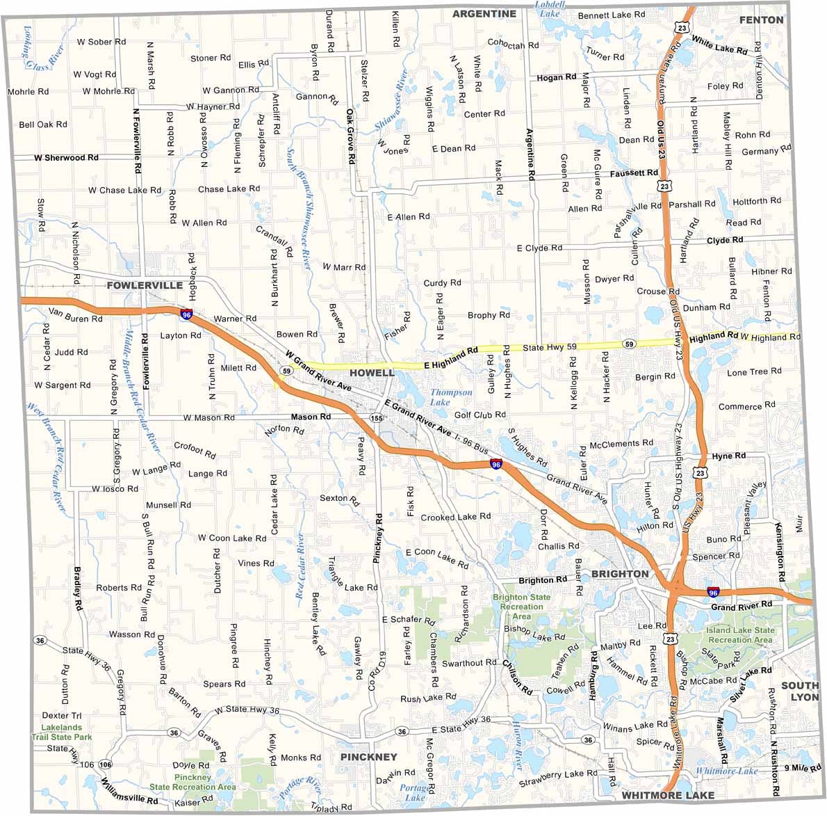
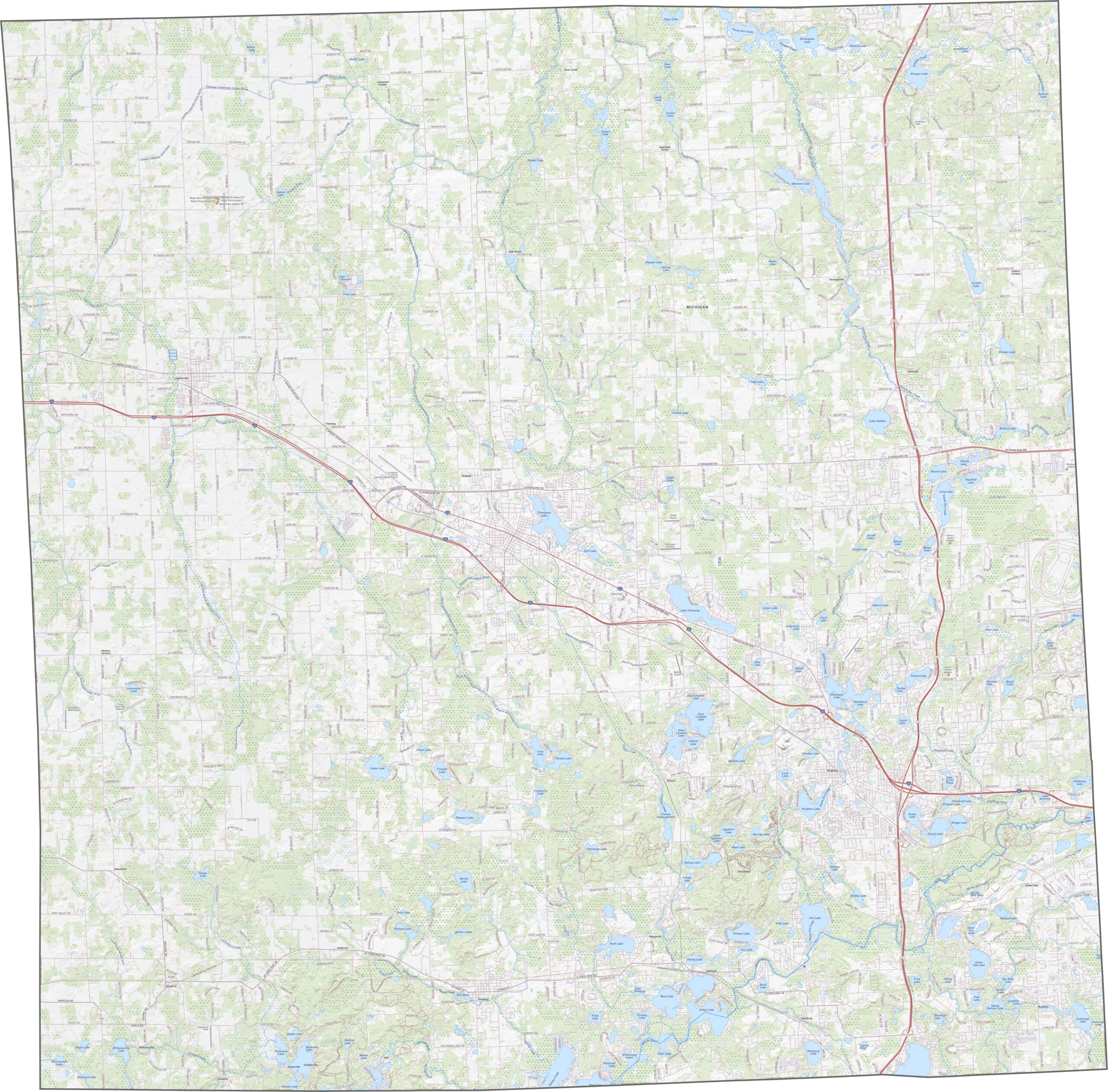
Zoom into our road map below to explore all the twists and turns of Livingston County. It includes major routes such as I-96, US 23, and M-59.
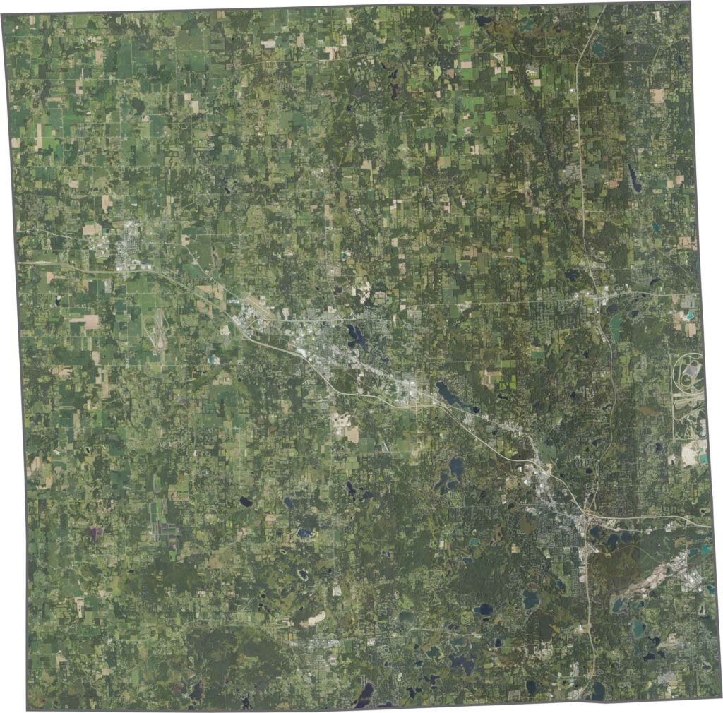
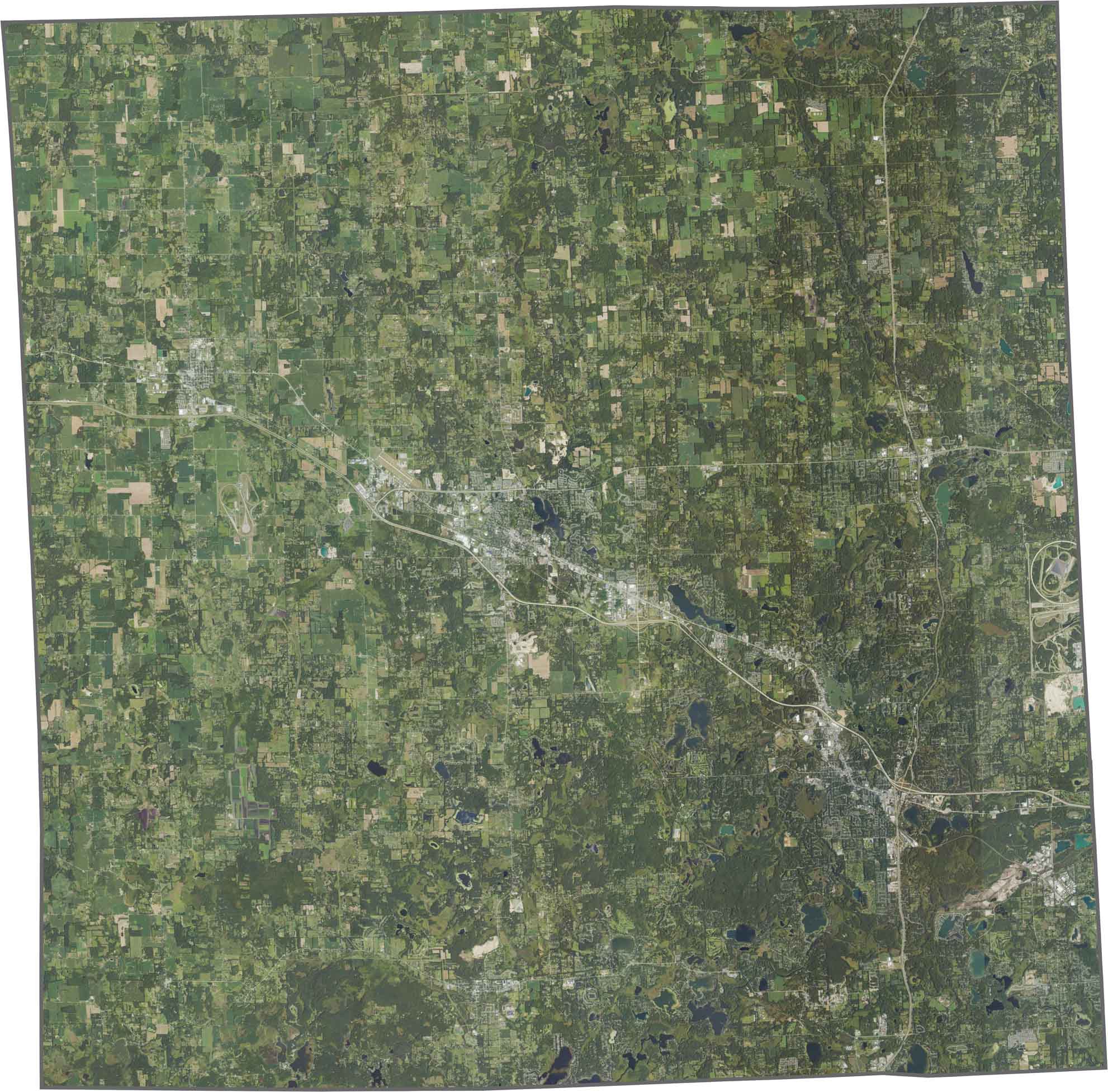
Our satellite map shows the suburban areas spreading around Brighton and Howell. While fields still cover much of the western area, lakes and ponds pop up across the landscape.
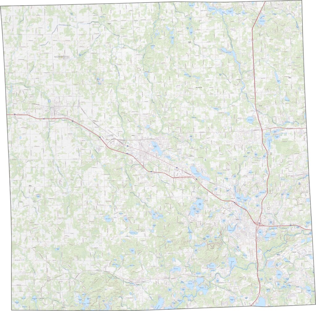
Livingston County forms a lopsided square, somewhat like a parallelogram. Though mostly neat in shape, no rivers make up its edges.








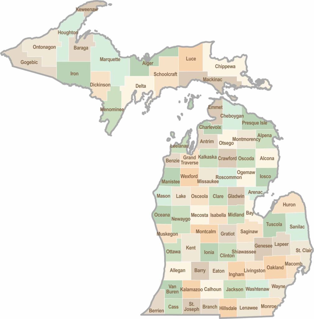
From Motown to moose sightings, Michigan’s 83 counties offer an impressive mix of urban energy, natural beauty, and outdoor adventure. Detroit celebrates its legendary Motown music heritage, while Ann Arbor brings a lively college-town atmosphere shaped by the University of Michigan. From the shores of the Great Lakes to the forests of the Upper Peninsula, the Mitten State delivers a diverse landscape filled with history, culture, and scenic attractions.