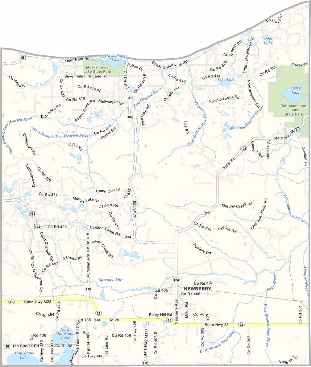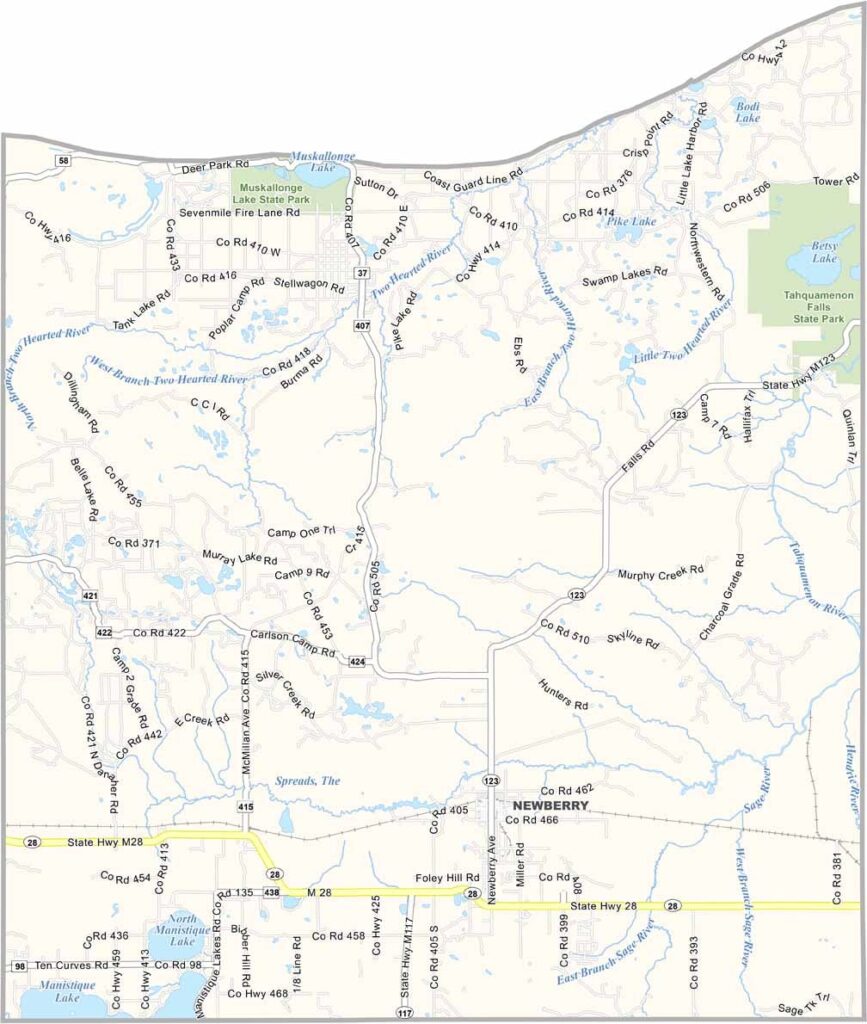
Luce County Map, Michigan

Luce County, Michigan

Luce County sits in Michigan’s Upper Peninsula, right along the shoreline of Lake Superior. This is a place where nature reigns supreme, with endless opportunities for outdoor adventures.

Tahquamenon Falls State Park is the crown jewel. It boasts one of the largest waterfalls east of the Mississippi River. Well, at least it’s the largest in Michigan.

Newberry is the county seat and is known as the “Moose Capital of Michigan.” If you’re lucky, you might spot these majestic creatures roaming around.
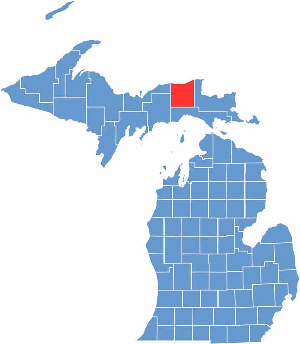

Luce County location map of Michigan
CategoryDetails
County NameLuce County
County SeatNewberry
Cities, Towns, and CommunitiesNewberry, McMillan, Lakefield, Pentland, Columbus Township, Helmer
Interstates and HighwaysM-28, M-123
FIPS Code26-095
Total Area (Land and Water)1,912 square miles (Land: 899 sq mi, Water: 1,013 sq mi)
Adjacent Counties (and Direction)Chippewa County (East), Mackinac County (South), Schoolcraft County (Southwest), Alger County (West)
Time ZoneEastern Time Zone (ET)
StateMichigan
Coordinates46.4706° N, 85.5091° W
EtymologyNamed after Cyrus G. Luce, Governor of Michigan from 1887 to 1891
Major LandmarksTahquamenon Falls State Park, Two Hearted River, Crisp Point Lighthouse, Muskallonge Lake State Park
PopulationApproximately 6,300
Scroll to Top