
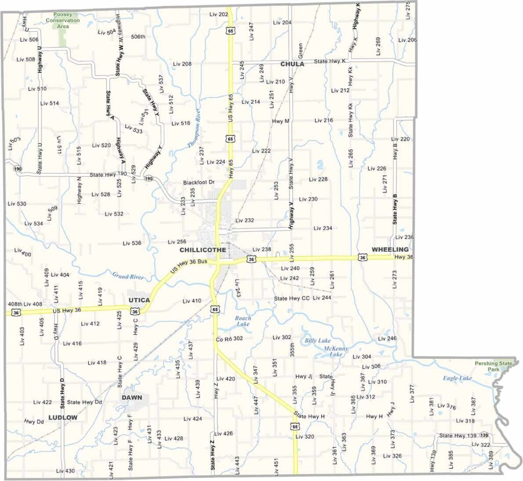
Livingston County, Missouri

Lincoln County is located along Missouri’s eastern border with Illinois. Although it is part of the greater St. Louis metropolitan area, much of the county retains a rural and small-town character.

The county has experienced rapid population growth in recent years, making it one of Missouri’s fastest-growing regions. Troy serves as both the county seat and largest city.

Natural boundaries are formed by the Mississippi River and the Cuivre River, creating scenic landscapes throughout the area. Named after Abraham Lincoln, the county is also home to Cuivre River State Park, a popular destination for hiking, camping, and outdoor recreation.


Printable Livingston County Missouri map showing county boundaries and locations
Category Details
County Name Livingston County
County Seat Chillicothe
Cities, Towns, and Communities Maryville, Burlington Junction, Hopkins, Clearmont, Barnard, Skidmore, Pickering, Graham
Interstates and Highways US 36, MO 190, MO 65
Population Approximately 14,000
FIPS Code 29-117
Total Area (Land and Water) 539 square miles (Land: 532 sq mi, Water: 7 sq mi)
Time Zone Central Time Zone (CT)
State Missouri
Coordinates 39.7851° N, 93.5508° W
Etymology Named after Edward Livingston, a statesman and jurist
Major Landmarks Grand River Historical Society Museum, Chillicothe Parks, Poosey Conservation Area
Scroll to Top

