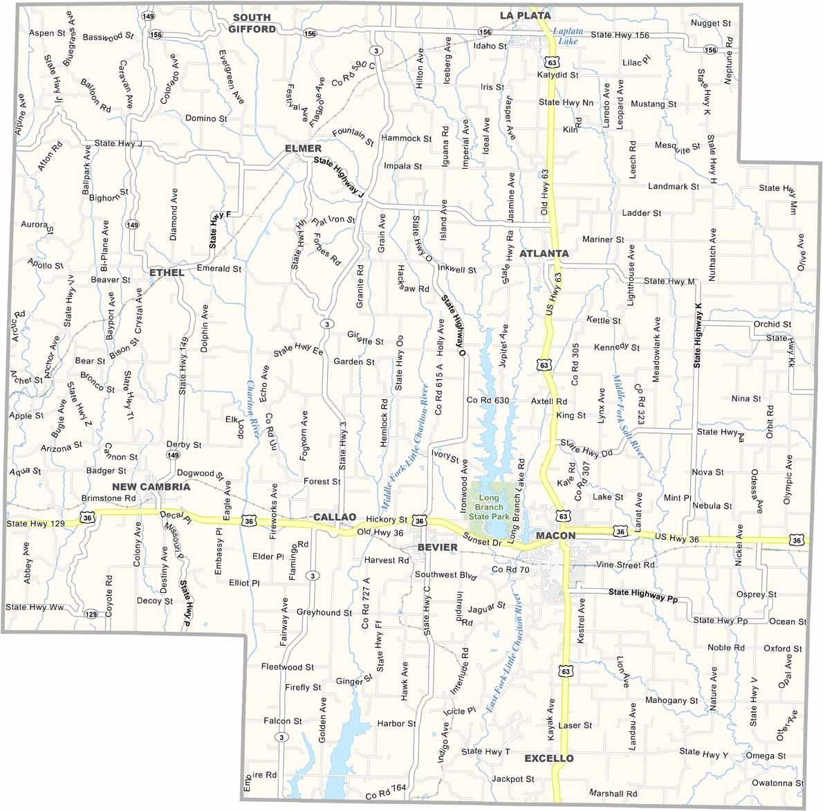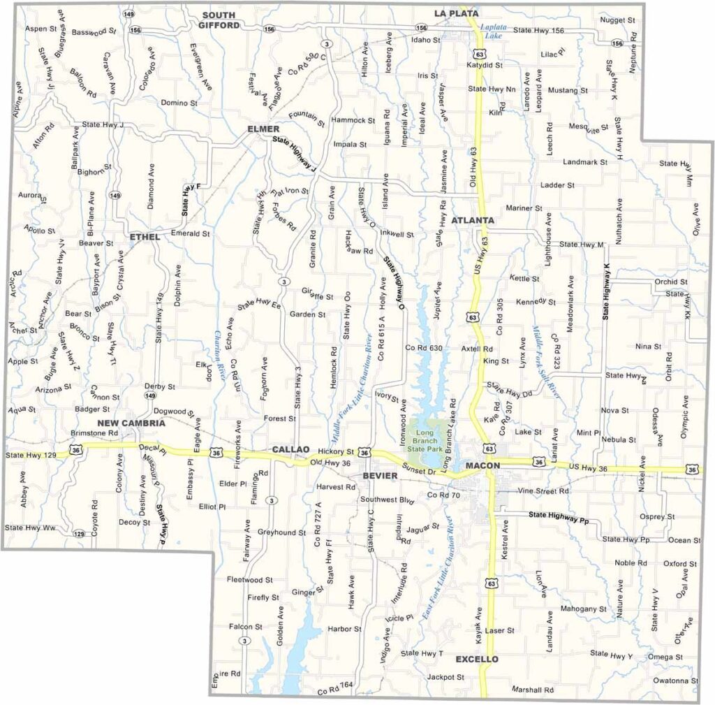
Osage County, Missouri

Macon County is located in northern Missouri, where rolling hills, wide-open farmland, and welcoming communities create a classic rural landscape.

With a population of around 15,000, the county maintains a small-town feel. La Plata is the largest city, while Macon serves as the county seat and commercial center.

Hunting is a favorite local pastime, and deer season is an important tradition for many residents. The county also values its history and outdoor recreation, with places like Long Branch State Park attracting visitors for camping, fishing, and scenic views.
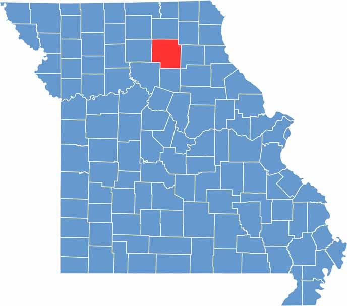

Printable Macon County Missouri location map showing county location and boundaries
Category Details
County Name Macon County
County Seat Macon
Cities, Towns, and Communities Macon, La Plata, Bevier, Atlanta, New Cambria, Callao, Anabel, Elmer
Interstates and Highways US 36, US 63, MO 3, MO 149
Etymology Named after Nathaniel Macon, a statesman from North Carolina
FIPS Code 29-121
Total Area (Land and Water) 812 square miles (Land: 801 sq mi, Water: 11 sq mi)
Time Zone Central Time Zone (CT)
State Missouri
Coordinates 39.8278° N, 92.5307° W
Population Approximately 15,000
Major Landmarks Long Branch State Park, Macon County Historical Society Museum, Macon Lake
Adjacent Counties (and Direction) Adair County (North), Knox County (Northeast), Sullivan County (Northwest), Shelby County (East), Randolph County (South), Monroe County (Southeast), Chariton County (Southwest), Linn County (West)
Scroll to Top