
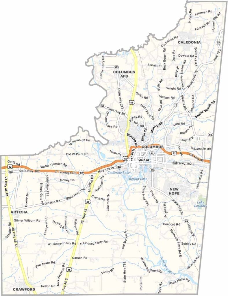
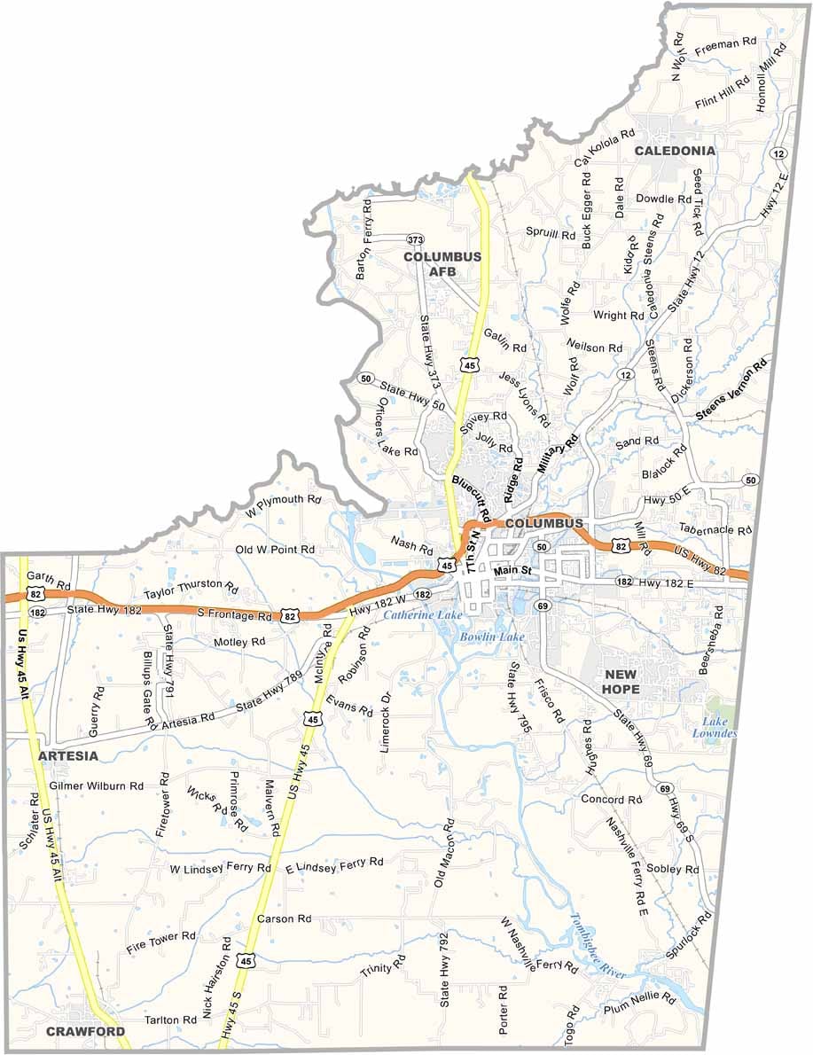
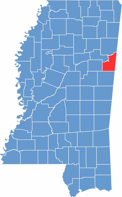
Lowndes County lies right on the Alabama border in eastern Mississippi. The Tombigbee Waterway cuts through the county, bringing life and commerce to the area.
You'll find a mix of old and new here, with antebellum homes sitting alongside modern industries. The county has a knack for reinventing itself.
Sports fans might recognize it as the home of Mississippi University for Women's athletics. Columbus is the big name in this county, and it's also the county seat.

Mississippi Counties
Rankin County Map Download Mississippi – Outline Map and Blank Map

Mississippi Counties
Madison County Map Download Mississippi – Outline Map and Blank Map

Mississippi Counties
Jackson County Map Download Mississippi – Outline Map and Blank Map

Mississippi Counties
Hinds County Map Download Mississippi – Outline Map and Blank Map

Mississippi Counties
Harrison County Map Download Mississippi – Outline Map and Blank Map

Mississippi Counties