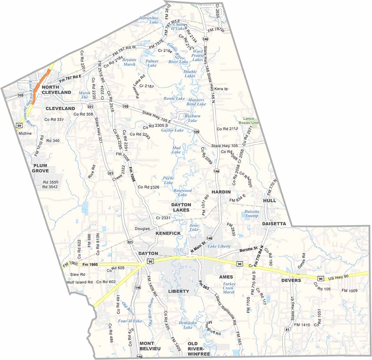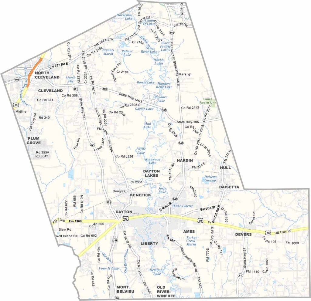
Liberty County is just east of Houston, but it feels a world away from the big city. Dayton and Liberty are the largest towns, while plenty of smaller communities are scattered throughout the county.
The county has deep roots. In fact, it was one of the original counties of the Republic of Texas. Rice fields are common across the area, along with cattle ranches.
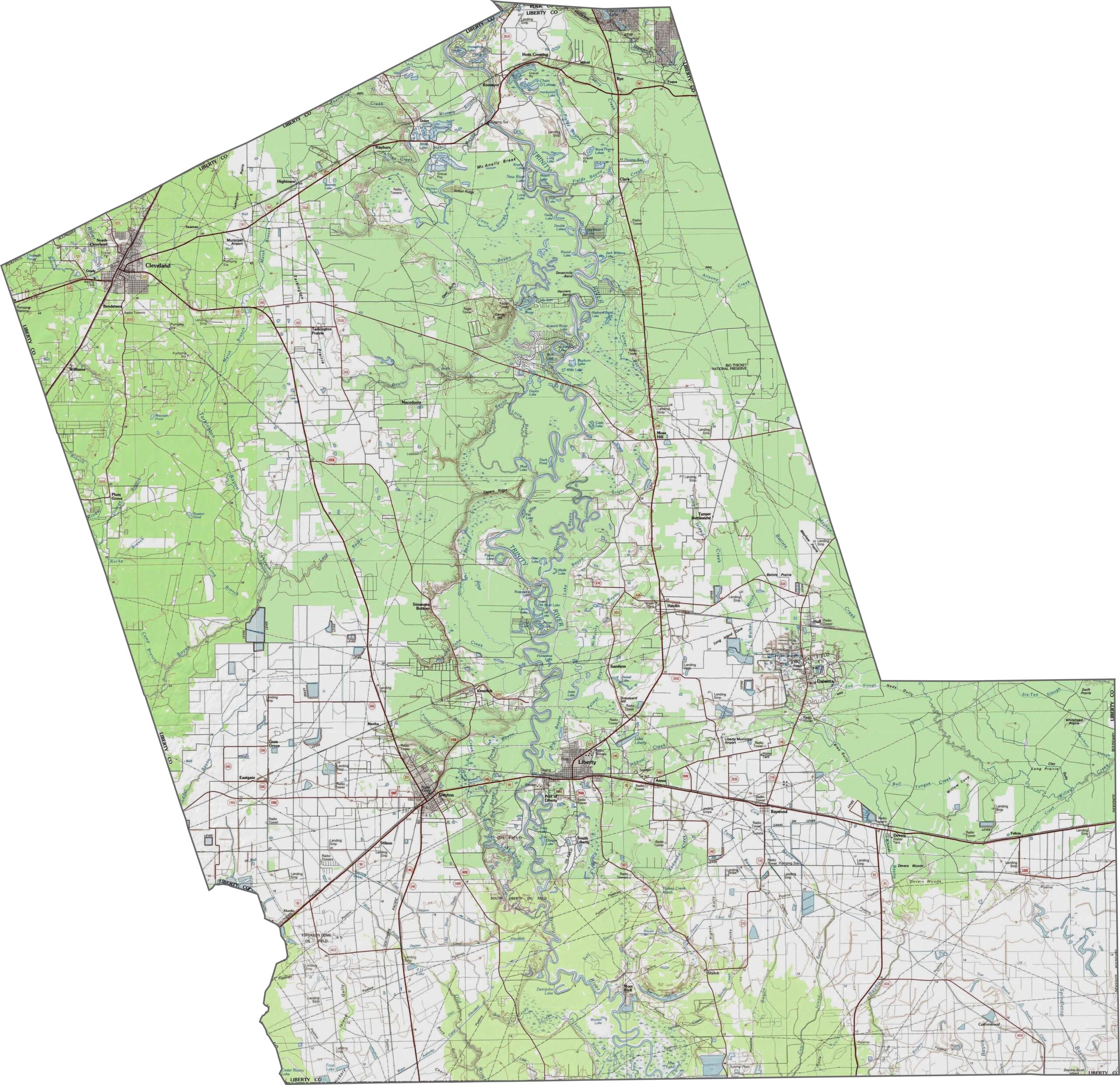
The Trinity River National Wildlife Refuge offers great opportunities for hiking and wildlife watching. The Trinity River also runs through the county, creating prime bottomland hardwood forests.
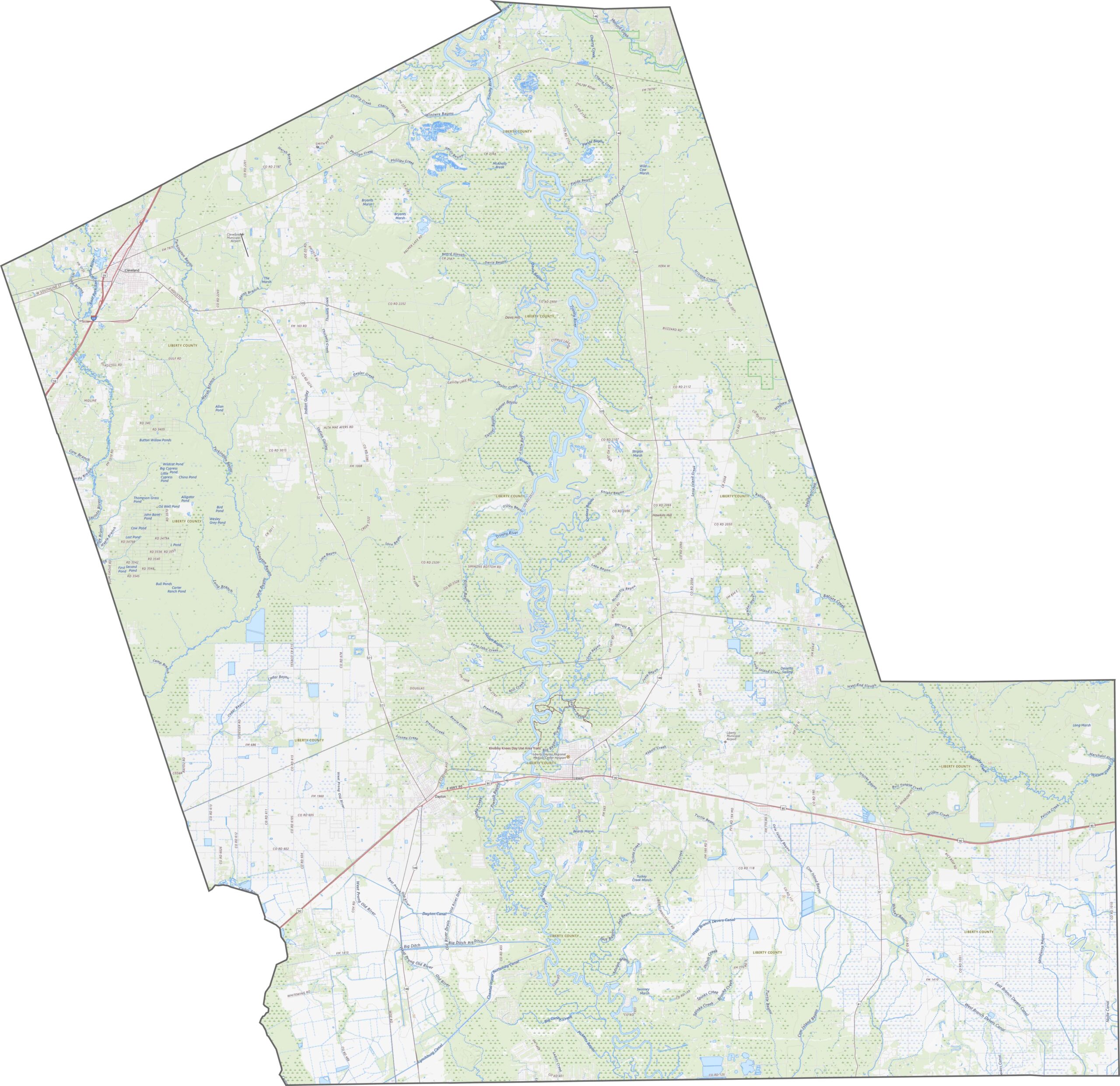
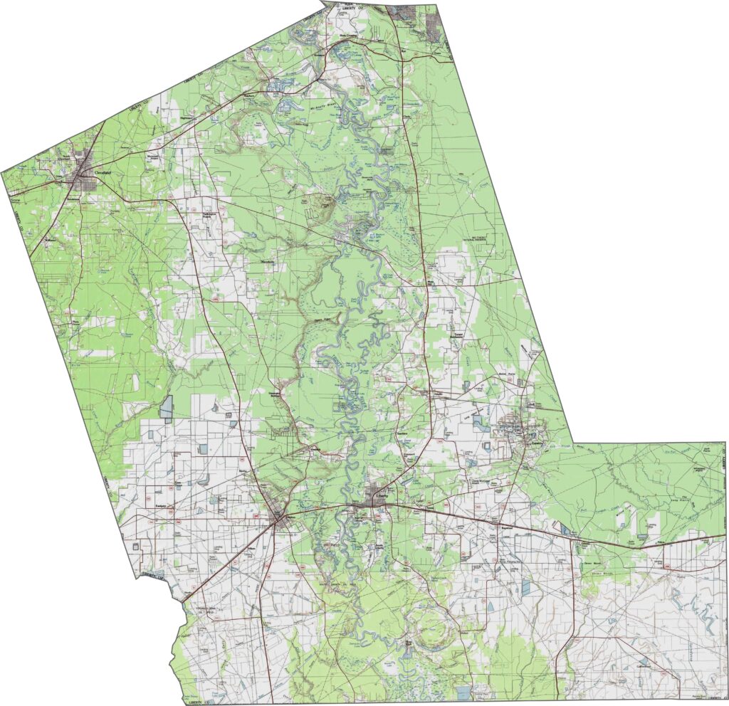
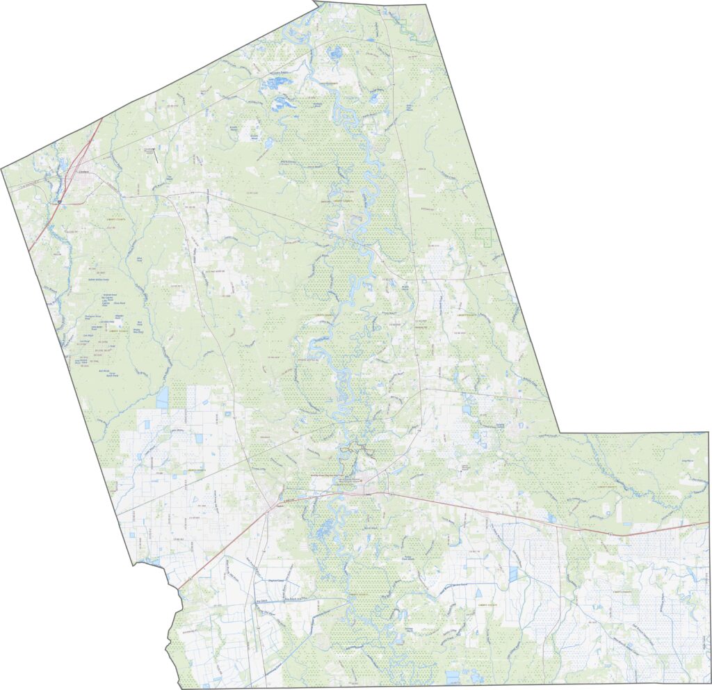
This is Piney Woods country. The Trinity River cuts through broad, low-lying valleys, while most of the county remains flat with subtle dips and rises shaped by smaller creeks. Wetlands, swamps, and forested bottoms influence both the landscape and how the land is used.
Liberty County’s highways are shaped by forests and floodplains. Routes pass through tall pine stands, follow bayous, and connect the towns of Liberty and Cleveland. U.S. Highway 90 is the main east-west route through the county.
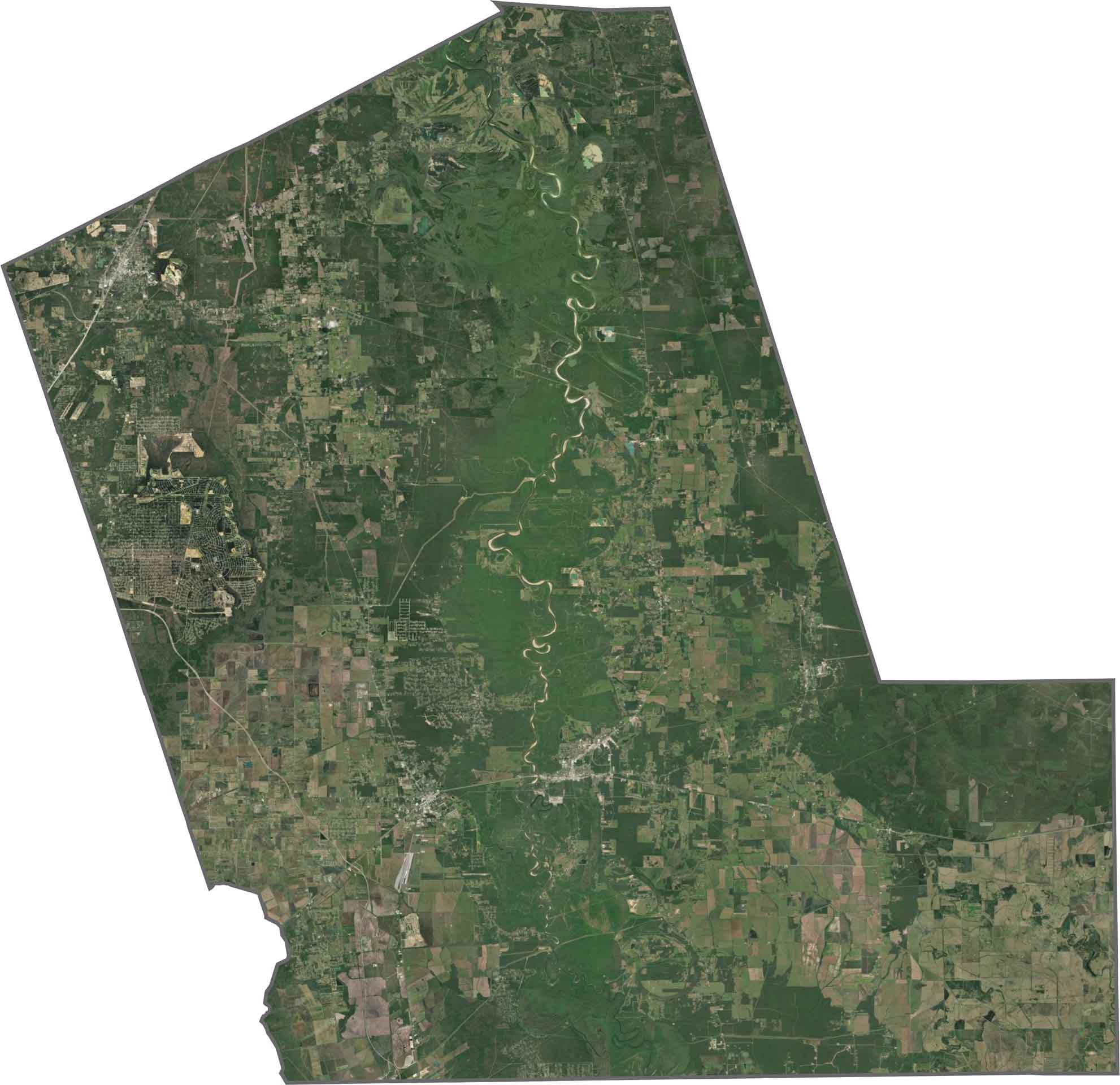
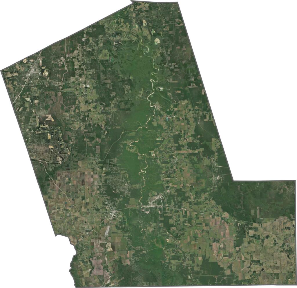
Forests cover much of Liberty County. From above, the satellite view shows plenty of dark green, broken up by towns, clearings, and a few pale highways. Liberty and Cleveland appear as modest clusters of roads and rooftops.
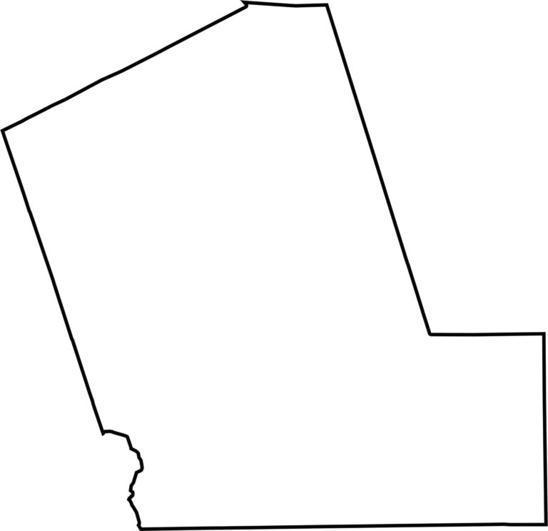
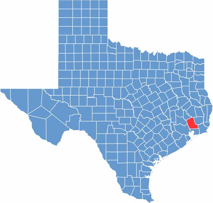
Liberty County has a shape that looks a bit like the letter “L.” Fittingly, the county’s name starts with the same letter. It doesn’t border any other states and sits northeast of Houston.