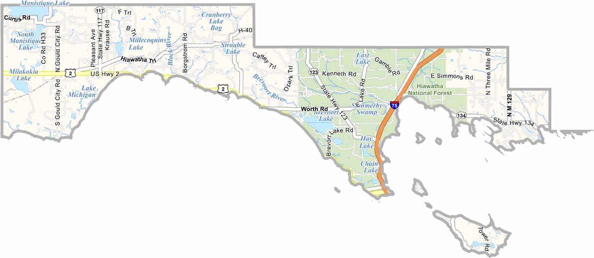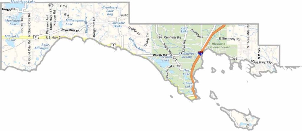
Mackinac County Map, Michigan

Mackinac County, Michigan

At the very tip of Michigan’s Lower Peninsula sits Mackinac County. This is a land of bridges, ferries, and fudge. It’s home to the iconic Mackinac Bridge, a five-mile marvel spanning the Straits of Mackinac.

The star attraction is undoubtedly Mackinac Island. Since 1901, cars have been banned here, meaning horse-drawn carriages rule the roads.

History comes alive at Fort Mackinac, a restored 18th-century fortress. Mackinac County delivers on its promise as a top county in Michigan. Just be prepared for your sweet tooth to go into overdrive with all that famous fudge.
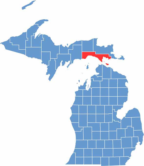

Mackinac County location map of Michigan
CategoryDetails
County NameMackinac County
County SeatSt. Ignace
Cities, Towns, and CommunitiesSt. Ignace, Mackinac Island, Cedarville, Hessel, Naubinway, Moran
Interstates and HighwaysI-75, US 2, M-134
FIPS Code26-097
Total Area (Land and Water)2,101 square miles (Land: 1,022 sq mi, Water: 1,079 sq mi)
Adjacent Counties (and Direction)Chippewa County (Northeast), Luce County (Northwest), Schoolcraft County (West)
Time ZoneEastern Time Zone (ET)
StateMichigan
Coordinates46.0027° N, 84.6364° W
EtymologyNamed after the Straits of Mackinac, which in turn is derived from the Ojibwe word “Mishinimakinong” meaning “Big Turtle”
Major LandmarksMackinac Island, Mackinac Bridge, Fort Mackinac, Straits State Park, Hiawatha National Forest
PopulationApproximately 11,500
Scroll to Top