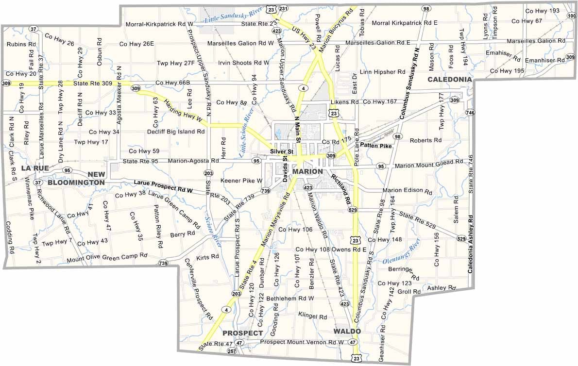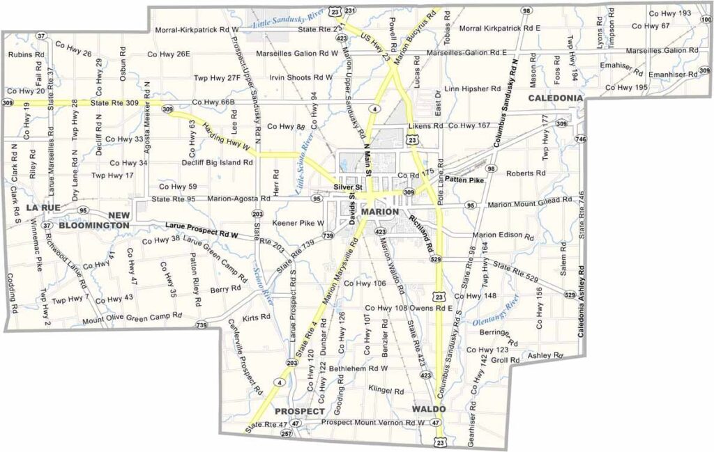
Marion County Map, Ohio

Marion County, Ohio

Marion County sits right in the middle of Ohio. It’s home to the famous Popcorn Festival, which celebrates the legacy of its popcorn manufacturing. Marion, the county seat, is also the largest city in the county.

Farming is big here, and so is manufacturing. The county has a rich history tied to Warren G. Harding, the 29th U.S. President, and his home and tomb are popular tourist spots.

Marion Technical College provides higher education opportunities for locals and immigrants. The Harding Memorial draws visitors from all over. Marion County brings together history, community, and loads of green spaces.
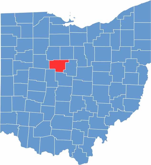

Marion County location map of Ohio
CategoryDetails
County NameMarion County
County SeatMarion
EtymologyNamed after General Francis Marion
Cities, Towns, and CommunitiesMarion, Caledonia, LaRue, Waldo
Interstates and HighwaysU.S. Highway 23, U.S. Highway 30, State Route 4
FIPS Code39-101
Total Area404 square miles (land and water)
Adjacent CountiesCrawford County (Northeast), Morrow County (East), Delaware County (South), Union County (Southwest), Hardin County (West), Wyandot County (Northwest)
Time ZoneEastern Time Zone
StateOhio
Coordinates40.5861° N, 83.1433° W
Major LandmarksMarion County Fairgrounds, Harding Home
PopulationApproximately 50,000
Scroll to Top