
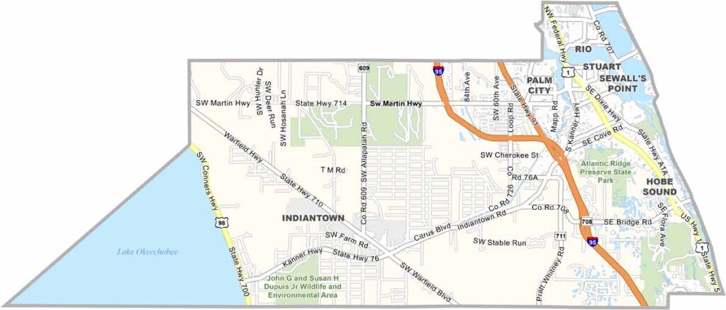
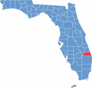
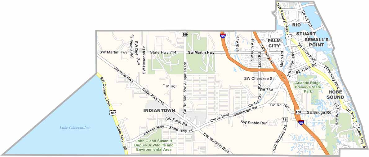
Martin County is located along Florida’s Treasure Coast, north of Palm Beach County. The county is known for maintaining its small-town character, with limited high-rise development. Stuart serves as the county seat and features a charming downtown along the St. Lucie River.
The county is known for its beaches, boating, and fishing, and Stuart is often called the “Sailfish Capital of the World.” Martin County attracts a mix of retirees and families, while the House of Refuge on Hutchinson Island offers a glimpse into the area’s maritime history.
Environmental conservation is an important part of life in Martin County, with efforts to protect its beaches, waterways, and natural areas. Traffic is generally manageable but can increase during the winter months when seasonal visitors arrive. With its natural beauty, quiet communities, and relaxed atmosphere, Martin County offers a less hectic alternative to some of Florida’s more heavily developed coastal areas.
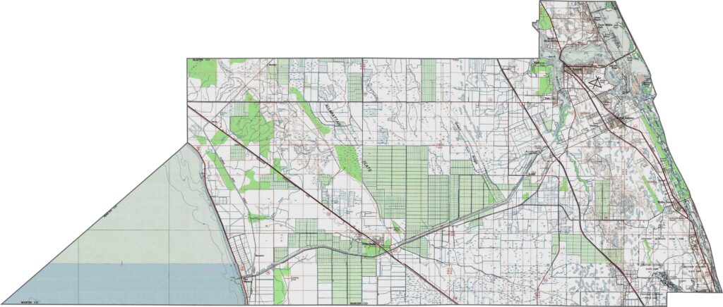
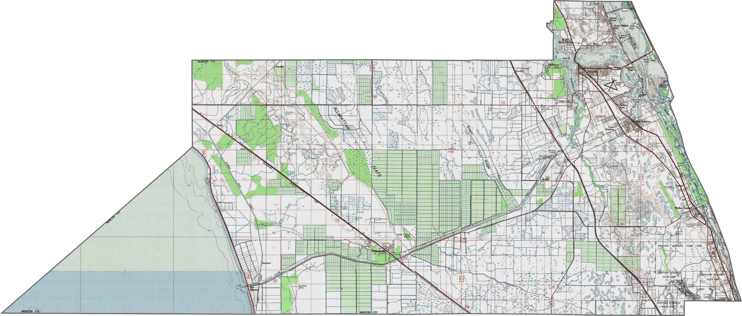
Our Martin County topographic map shows the county’s varied landscape, including Stuart, extensive wetlands, and the St. Lucie River. Use our zoom feature to explore the terrain from Jonathan Dickinson State Park to the coastal areas.
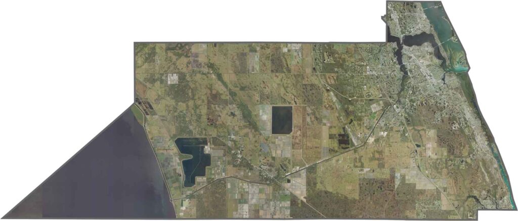
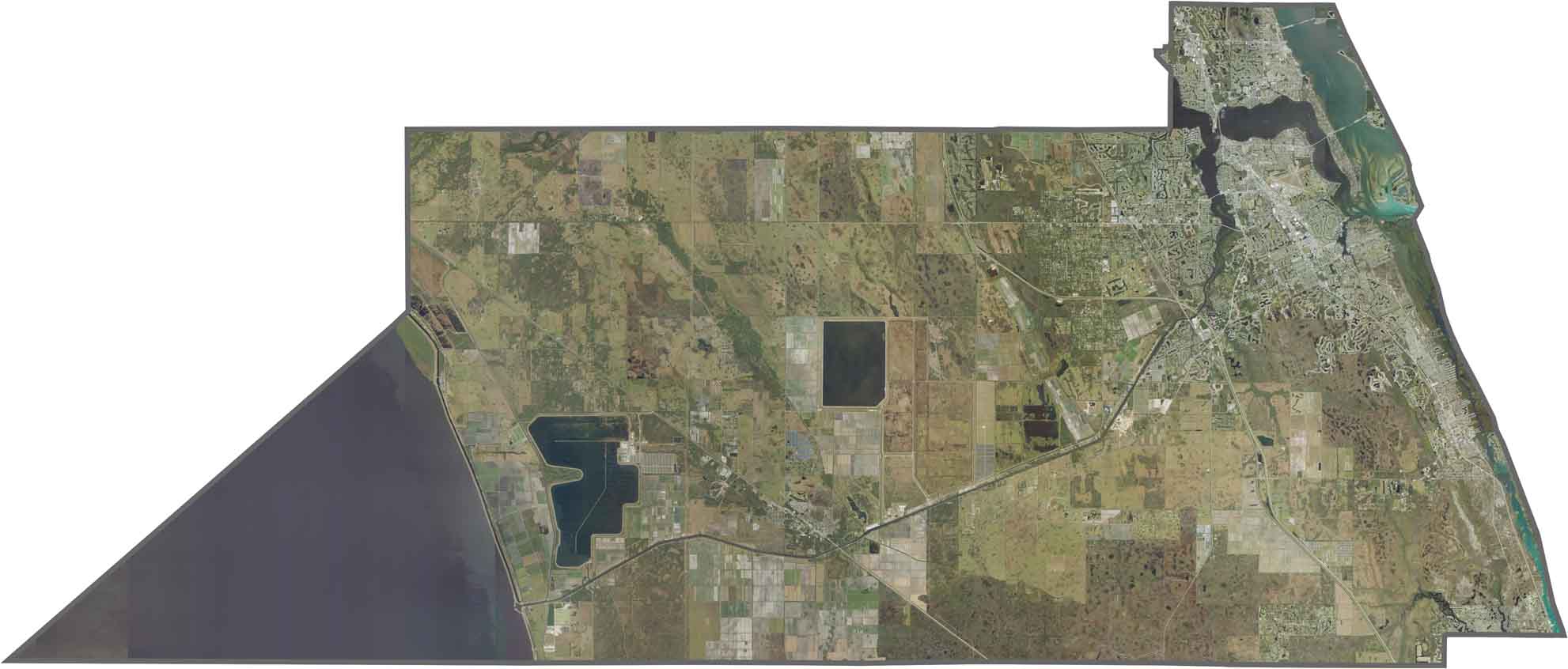
This satellite map highlights the St. Lucie River as it winds through the county, with Stuart located near where the river meets the Indian River Lagoon. Lake Okeechobee forms a large curved feature along the western edge. Zoom in to explore the waterways and surrounding landscapes.
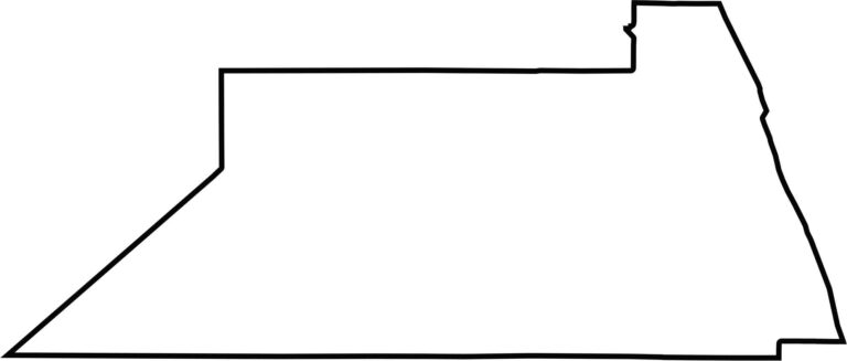
Our blank map shows Martin County’s compact shape, with the Atlantic Ocean forming the eastern boundary. Lake Okeechobee forms part of the western boundary, creating a clear contrast between the county’s coastal and inland edges.








Looking to find a county map of Florida? Our Florida county map breaks down all 67 counties. Explore the Sunshine State with detailed topographic, satellite, and outline maps.