
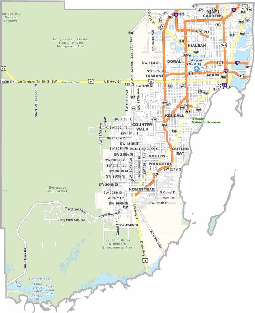
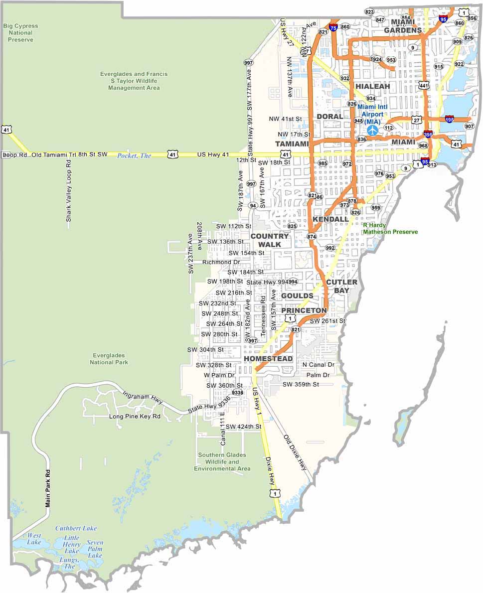
Miami-Dade County is one of Florida’s most diverse and vibrant regions, where Latin American and Caribbean influences blend with American culture. Miami serves as the county seat and is known for its energetic atmosphere, thriving nightlife, and international character.
South Beach is famous for its Art Deco architecture, nightlife, and beautiful coastline. Spanish is widely spoken throughout the county, reflecting its large Hispanic and Latino population. The western part of Miami-Dade County extends into the Everglades, where visitors can enjoy airboat rides and see abundant wildlife. Biscayne Bay also offers opportunities for boating, fishing, and other water activities.
Traffic can be challenging, but Miami-Dade’s food scene offers everything from Cuban cuisine in Little Havana to international restaurants throughout the county. The area combines luxury, tourism, diverse cultures, and natural landscapes, creating a unique mix of urban energy and wild Florida.
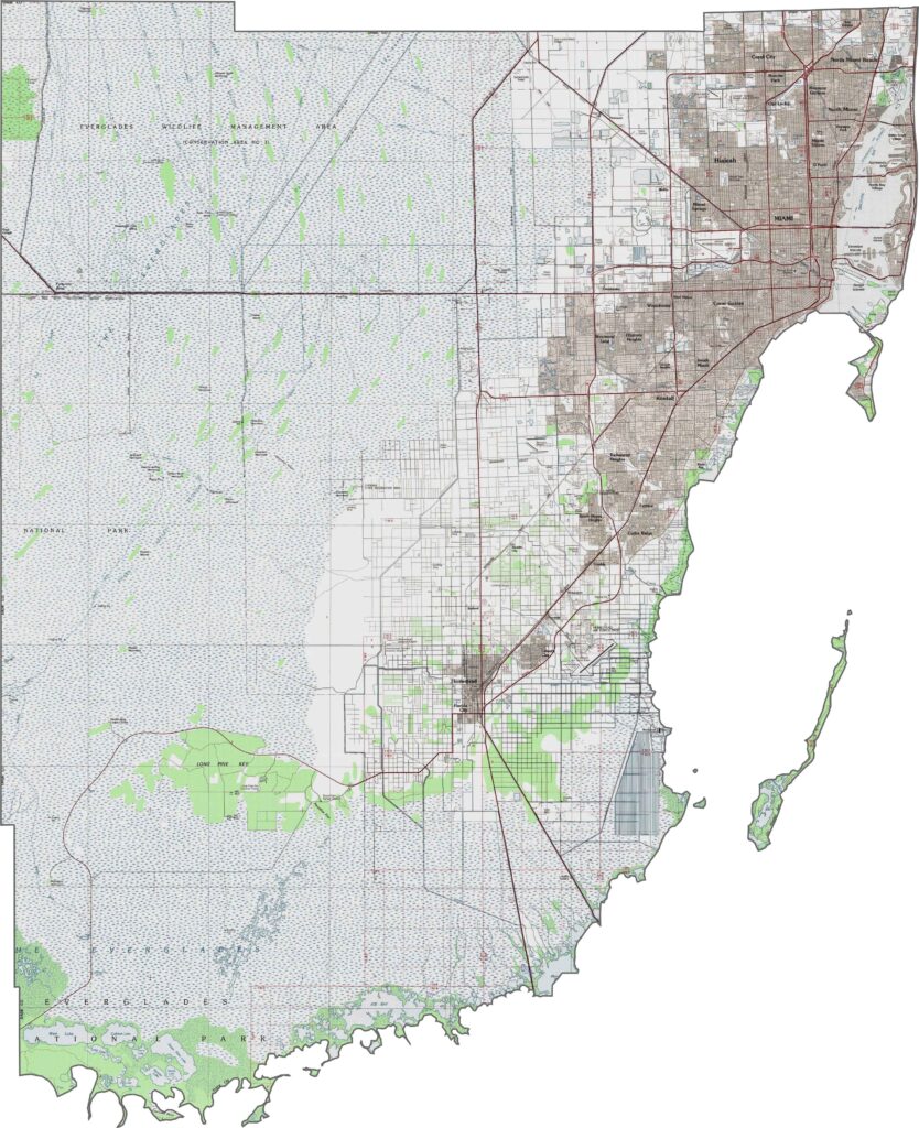
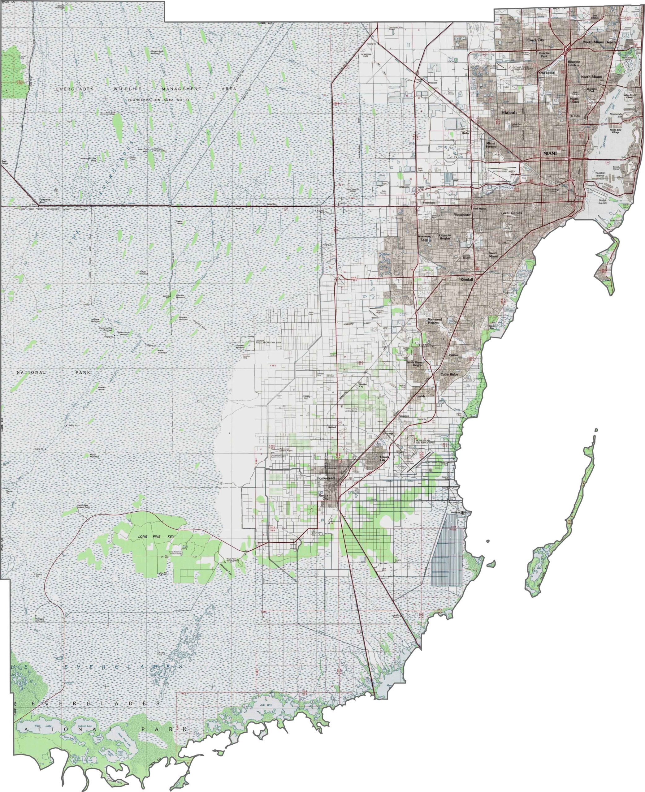
Miami-Dade County features low-lying coastal areas, with extensive wetlands covering much of the western portion. The eastern edge has dense urban development along a narrow ridge of higher ground. Use our zoom tool to explore the county’s subtle changes in terrain.
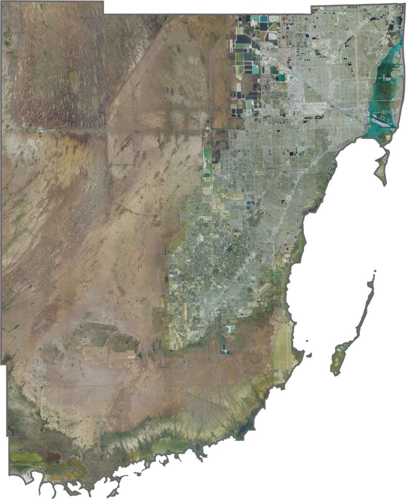
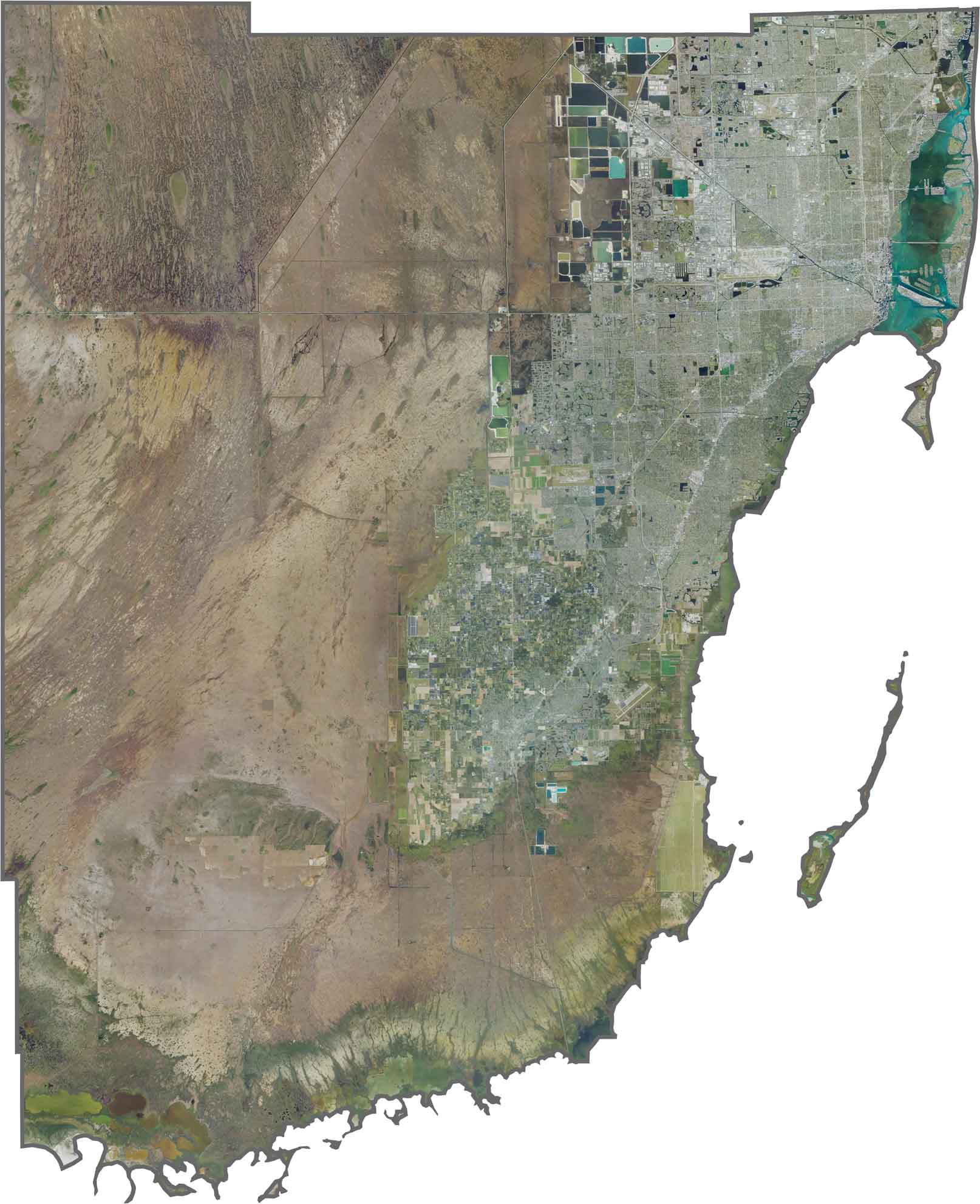
This satellite map highlights the sharp contrast between Miami-Dade County’s dense urban areas and vast natural landscapes. Development stretches along the Atlantic coast, while the western portion transitions into the wetlands of Everglades National Park. Barrier islands, including Miami Beach, create a narrow coastal strip between the city and the ocean. Use our zoom tool to explore the striking divide between the urban landscape and the Everglades.
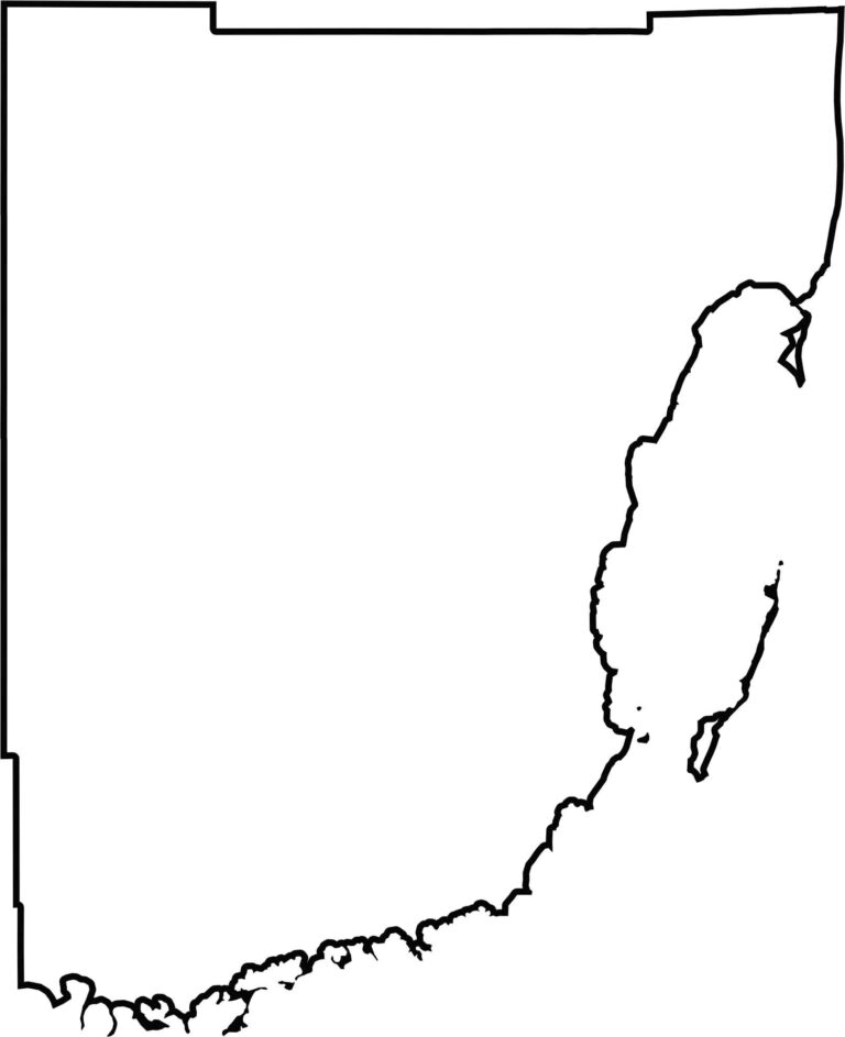
Our blank map shows Miami-Dade County’s long, irregular shape stretching from the Atlantic Ocean westward into the Everglades. The eastern boundary follows the coastline, while the western portion is shaped largely by conservation lands. The map highlights the county’s distinctive coastal and inland boundaries.








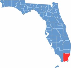
Looking to find a county map of Florida? Our Florida county map breaks down all 67 counties. Explore the Sunshine State with detailed topographic, satellite, and outline maps.