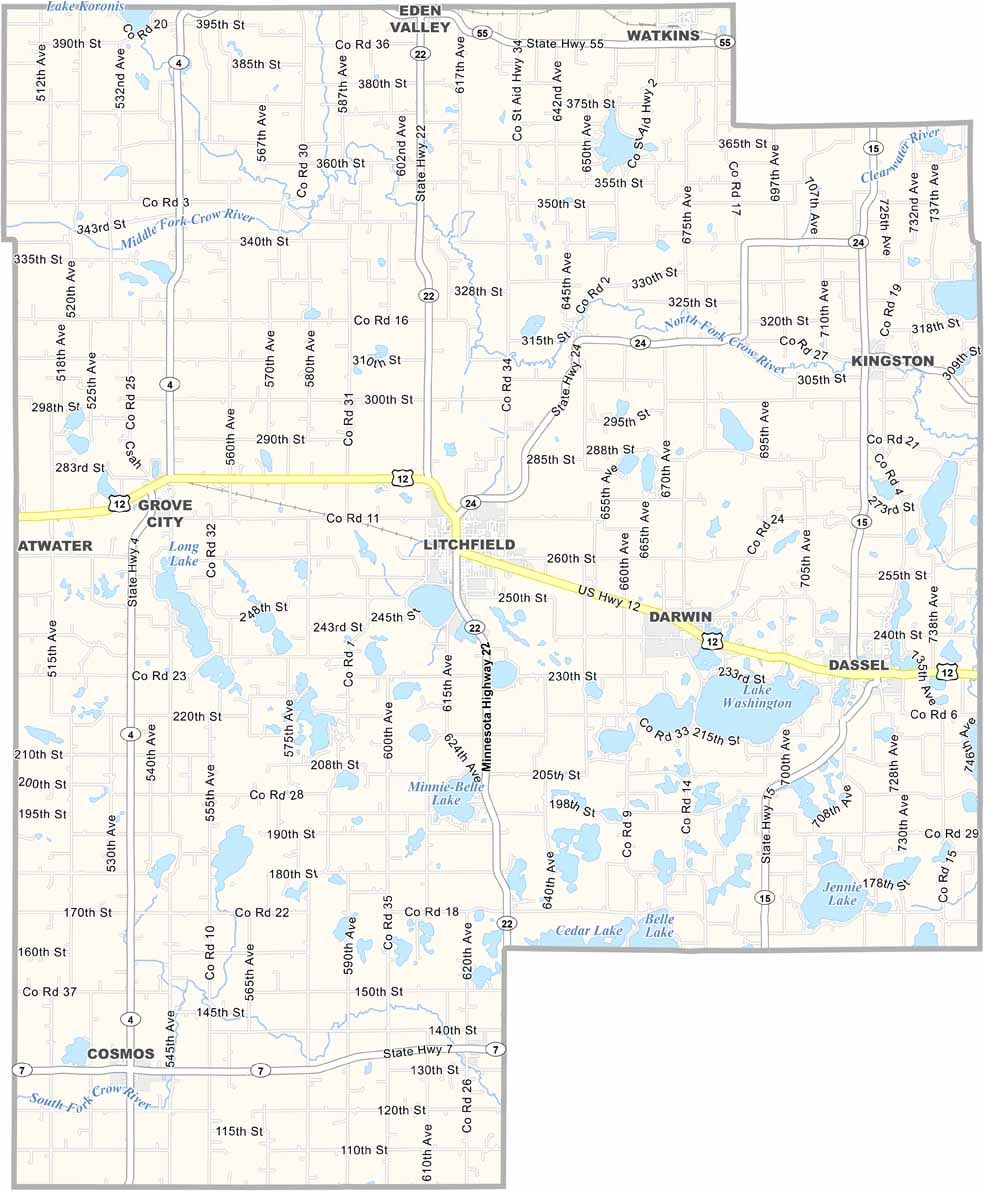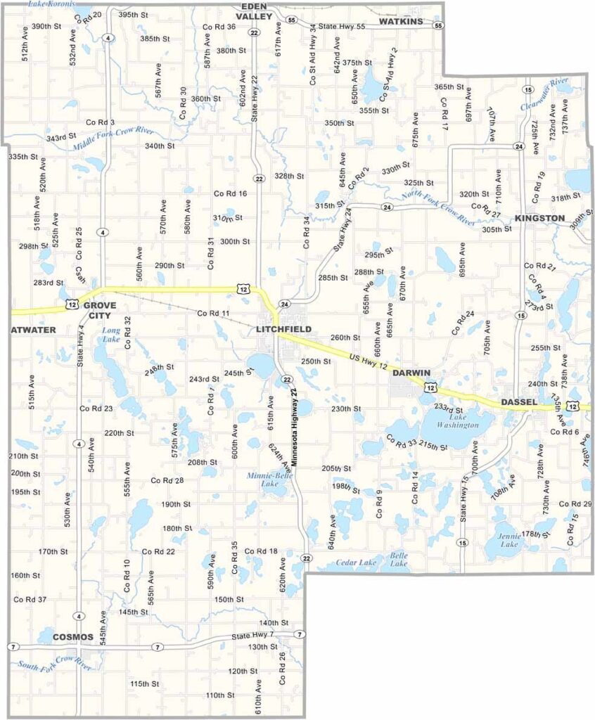
Meeker County Map, Minnesota

Meeker County, Minnesota

Central Minnesota's Meeker County blends small-town charm with rural beauty, just an hour west of the Twin Cities. Litchfield, the county seat, hums with local spirit.

At the center of the area’s appeal is Table Rock Lake, one of Missouri’s premier recreational destinations. The lake is a popular spot for fishing, boating, swimming, and other water activities, drawing outdoor enthusiasts throughout the year.

Stone County is also rich in history and small-town charm. Communities such as Kimberling City and Galena showcase the region’s heritage and welcoming atmosphere, while Branson West serves as a lively gateway to local attractions, offering entertainment, dining, and convenient access to the surrounding Ozark scenery.
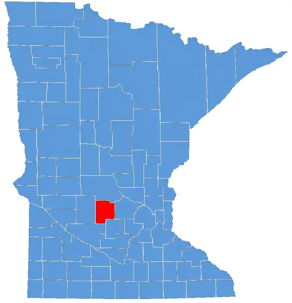

Meeker County map of Minnesota
CategoryDetails
County NameMeeker County
County SeatLitchfield
PopulationApproximately 23,000
Cities, Towns, and CommunitiesLitchfield, Dassel, Watkins, Grove City, Darwin, Eden Valley, Cosmos, Kingston, Cedar Mills
Interstates and HighwaysUS 12, MN 4, MN 15, MN 22
FIPS Code27-093
Total Area (Land and Water)645 square miles (Land: 608 sq mi, Water: 37 sq mi)
Adjacent Counties (and Direction)Stearns County (North), Wright County (East), McLeod County (Southeast), Renville County (Southwest), Kandiyohi County (West)
Time ZoneCentral Time Zone (CT)
StateMinnesota
Coordinates45.1296° N, 94.5289° W
EtymologyNamed after Bradley B. Meeker, an associate justice of the Minnesota Territorial Supreme Court
Major LandmarksDarwin Twine Ball, Forest City Stockade, Lake Ripley, Litchfield Opera House
Scroll to Top