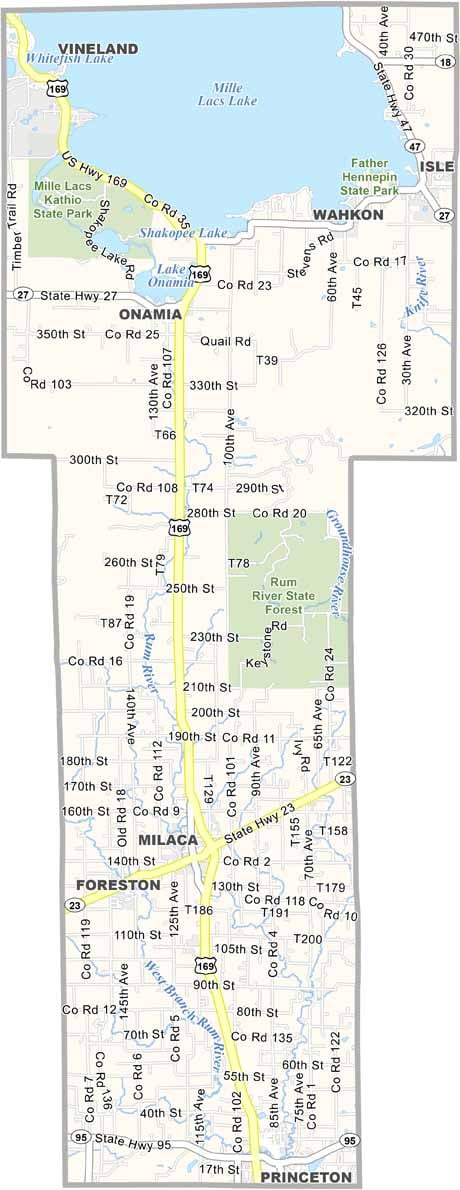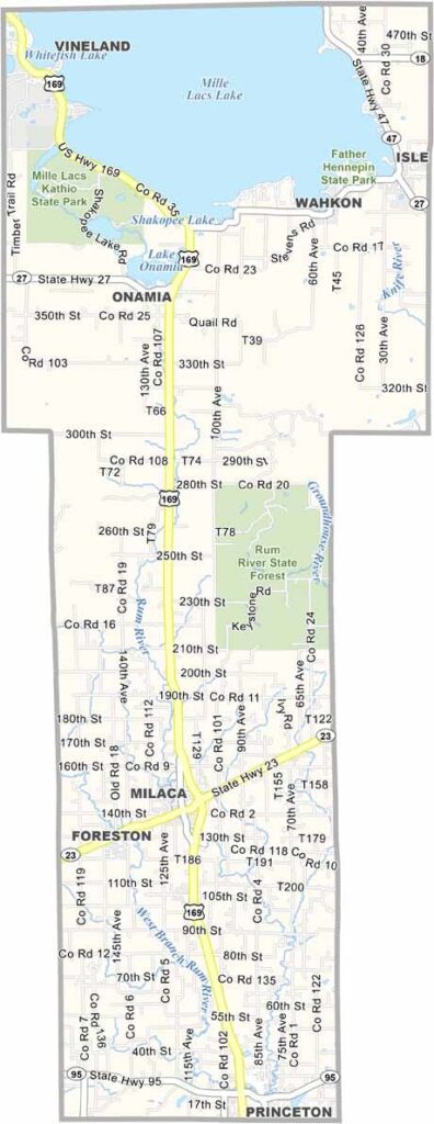
Mille Lacs County Map, Minnesota

Mille Lacs County, Minnesota

Mille Lacs County sits about an hour north of the Twin Cities. It's named after the massive Lake Mille Lacs, which dominates the northern part of the county. Fishing is king here.

The southern part of the county is a different story, made up mostly of farmland and forests. Milaca is the county seat, and it has that classic small-town Minnesota feel.

Native American history runs deep in these parts, with the Mille Lacs Band of Ojibwe calling this area home for centuries.
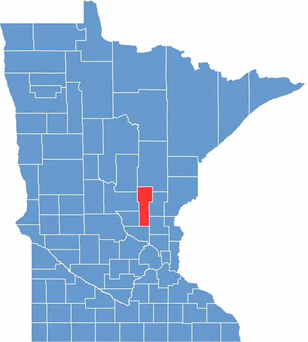

Mille Lacs County location map of Minnesota
CategoryDetails
County NameMille Lacs County
County SeatMilaca
PopulationApproximately 26,000
Cities, Towns, and CommunitiesMilaca, Princeton, Onamia, Wahkon, Isle, Foreston, Bock, Pease, Vineland
Interstates and HighwaysUS 169, MN 23, MN 27, MN 47
FIPS Code27-095
Total Area (Land and Water)682 square miles (Land: 572 sq mi, Water: 110 sq mi)
Adjacent Counties (and Direction)Aitkin County (North), Kanabec County (Northeast), Isanti County (Southeast), Sherburne County (South), Benton County (Southwest), Morrison County (West), Crow Wing County (Northwest)
Time ZoneCentral Time Zone (CT)
StateMinnesota
Coordinates45.7512° N, 93.6306° W
EtymologyNamed after Mille Lacs Lake, a large lake in the region
Major LandmarksMille Lacs Lake, Mille Lacs Kathio State Park, Rum River, Grand Casino Mille Lacs
Scroll to Top