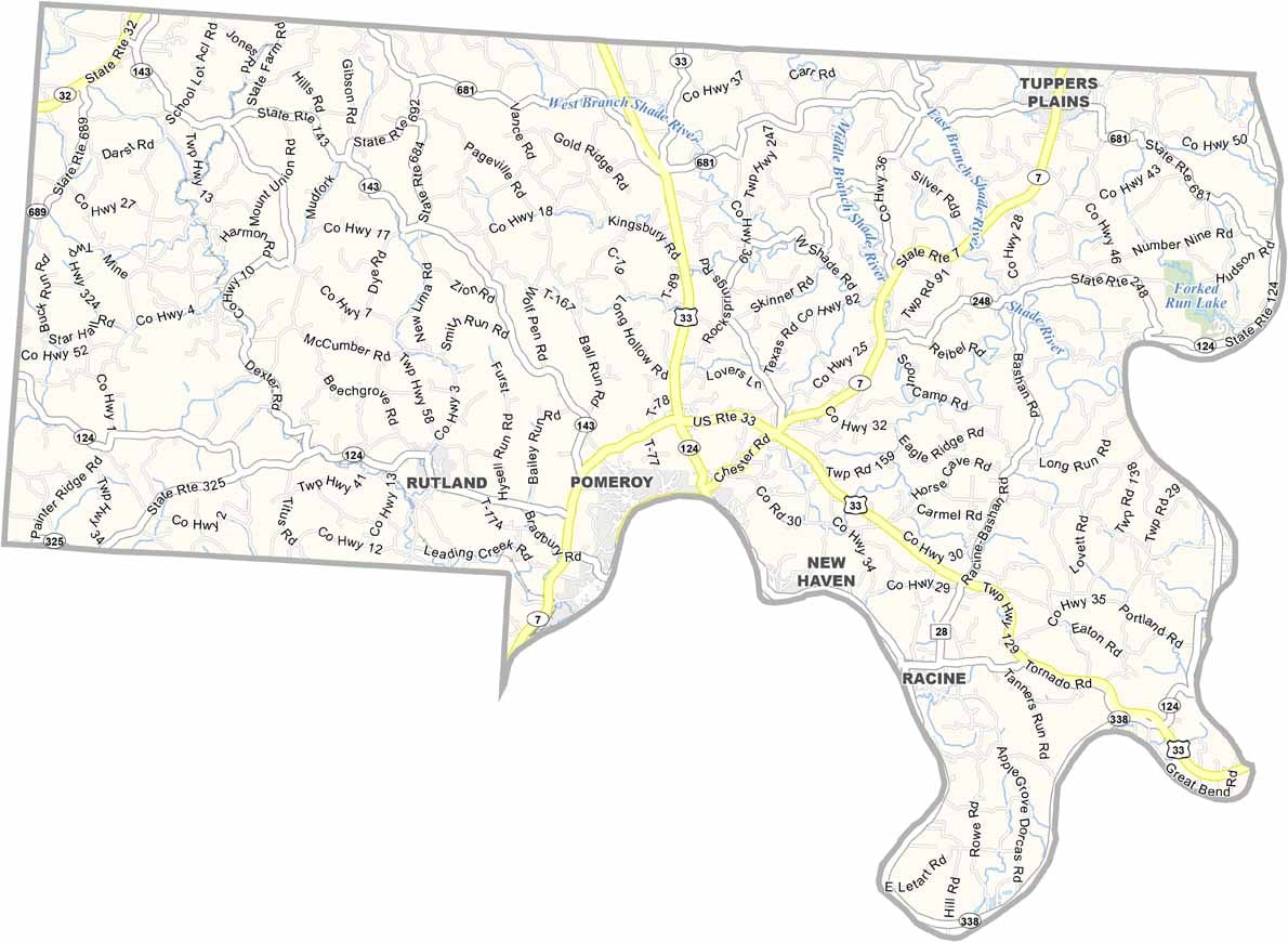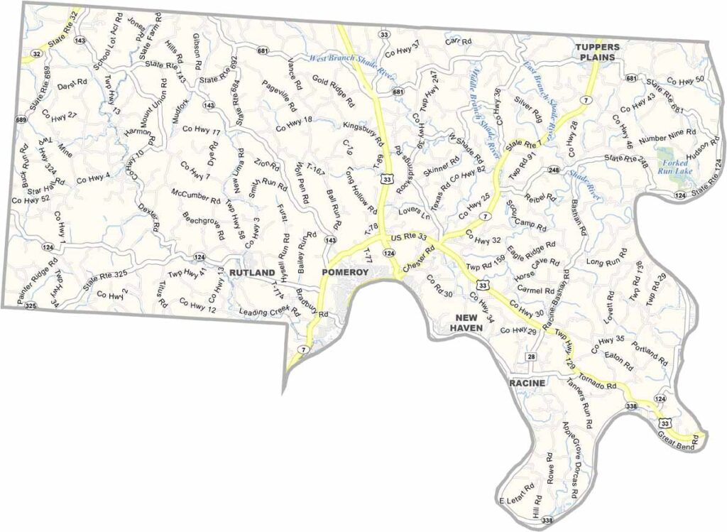
Meigs County Map, Ohio

Meigs County, Ohio

Meigs County sits in the southwest along the Ohio River, bordering West Virginia. It’s a place where Appalachian culture runs deep. Coal mining shaped much of the county’s history, though tourism is becoming more important these days.

Pomeroy, the county seat, has a unique feel thanks to its long, narrow layout along the river. Fishing and hunting are both popular here, and the area’s natural beauty draws anyone who loves the outdoors.

Meigs County has faced economic challenges but remains resilient. Community spirit is strong, and people look out for each other. Local festivals celebrate the area’s heritage and bring folks together.
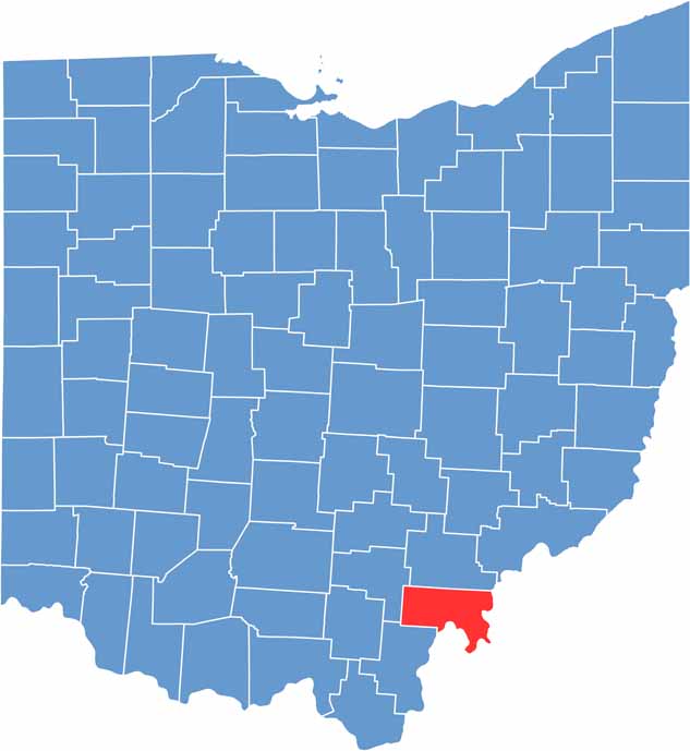

Meigs County location map of Ohio
CategoryDetails
County NameMeigs County
County SeatPomeroy
EtymologyNamed after Jonathan Meigs Jr., former Governor of Ohio and Postmaster General
Cities, Towns, and CommunitiesPomeroy, Middleport, Rutland, Syracuse
Interstates and HighwaysU.S. Highway 33, State Route 7, State Route 681
FIPS Code39-105
Total Area432 square miles (land and water)
Adjacent CountiesAthens County (North), Wood County, West Virginia (Northeast), Jackson County, West Virginia (East), Mason County, West Virginia (Southeast), Gallia County (Southwest), Vinton County (West)
Time ZoneEastern Time Zone
StateOhio
Coordinates39.0277° N, 82.1224° W
Major LandmarksMeigs County Historical Society Museum, Shade River
PopulationApproximately 23,000
Scroll to Top