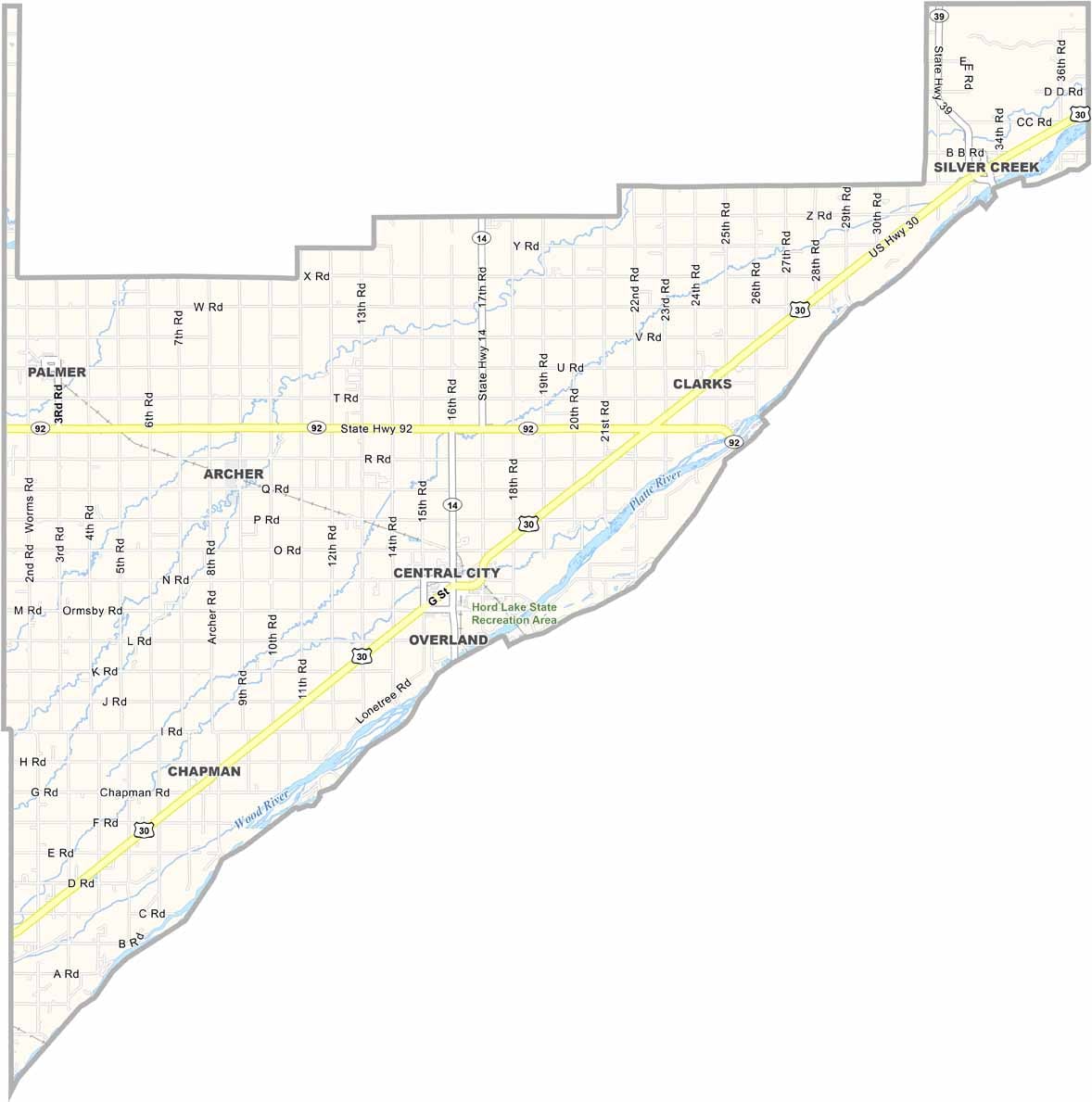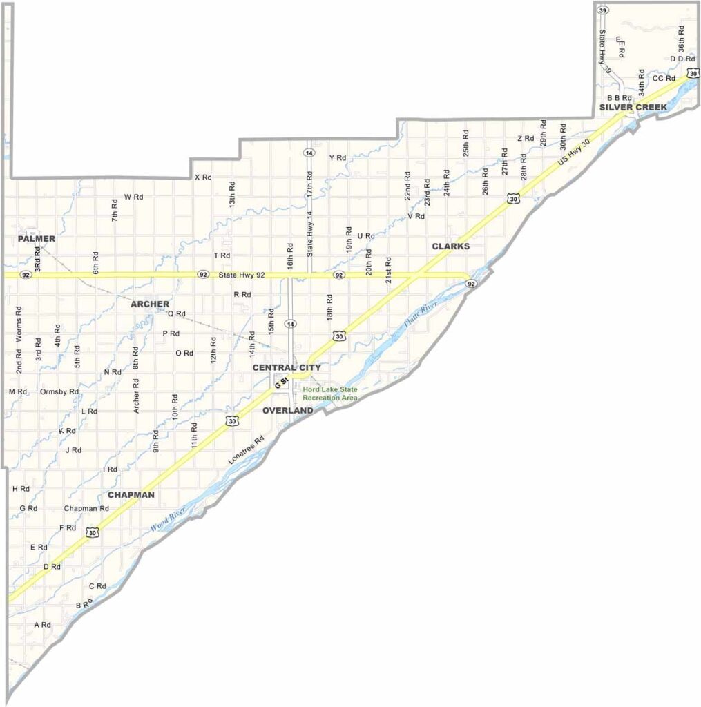
Merrick County Map, Nebraska

Merrick County, Nebraska

Merrick County is located in central Nebraska, with the Platte River running along its eastern border. Central City serves as the county seat, although it feels more like a large town than a city.

Farming is a major part of life here, with corn and soybeans making up most of the crops. Cattle farming also plays a role. The county offers a mix of flat river valleys and rolling hills, creating the kind of quiet scenery Nebraska is known for.

People here are friendly, but they tend to keep to themselves. They’re used to making their own entertainment, especially at the county fair. It’s the kind of event where pretty much everyone shows up.
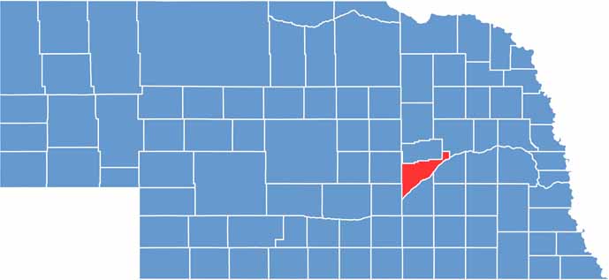

Merrick County location map of Nebraska
CategoryDetails
County NameMerrick County
County SeatCentral City
EtymologyNamed after Elvira Merrick, the wife of a territorial legislator
Cities, Towns, and CommunitiesCentral City, Clarks, Chapman, Palmer, Silver Creek, Archer
Interstates and HighwaysUS 30, US 81, NE 92, NE 14
FIPS Code31-121
Total Area (Land and Water)494 square miles (Land: 485 sq mi, Water: 9 sq mi)
Adjacent Counties (and Direction)Platte County (Northeast), Polk County (East), Hamilton County (South), Hall County (Southwest), Howard County (West), Nance County (North)
Time ZoneCentral Time Zone (CT)
StateNebraska
Coordinates41.1674° N, 98.0026° W
Major LandmarksMerrick County Historical Museum, Lone Tree Monument, Bader Park
PopulationApproximately 7,700
Scroll to Top