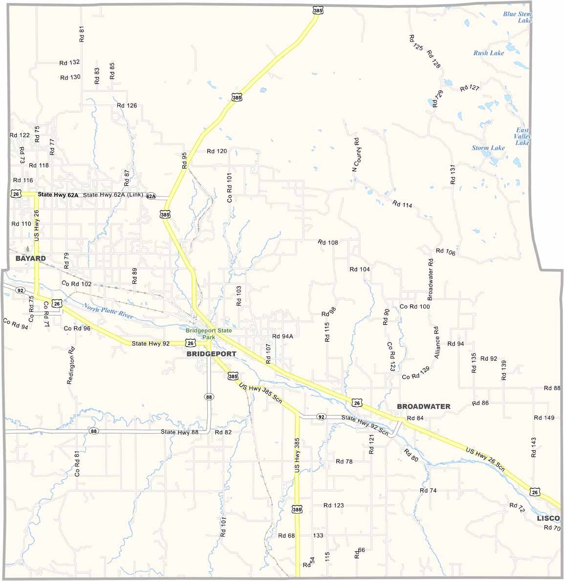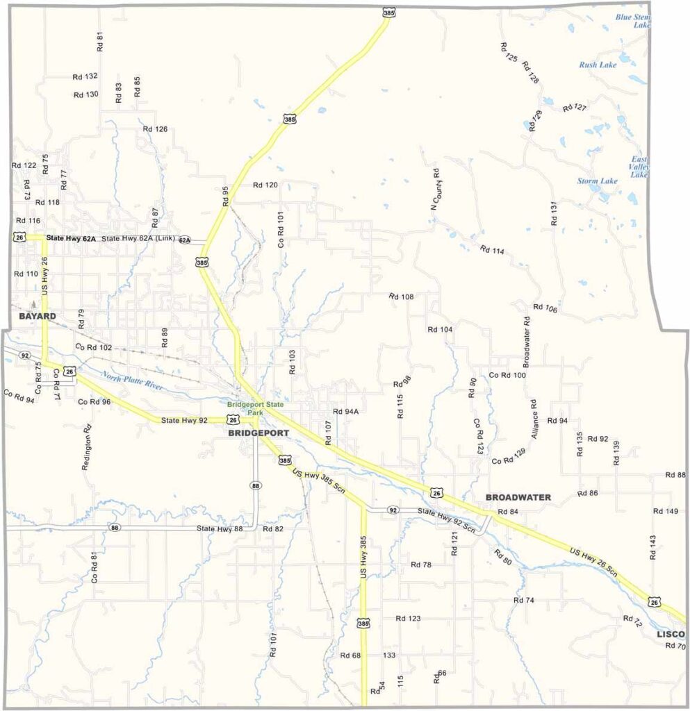
Morrill County Map, Nebraska

Morrill County, Nebraska

Morrill County is located in the Nebraska Panhandle. It’s pretty far out there. Bridgeport serves as the county seat and is a small town with plenty of character.

The North Platte River runs through the county, adding some beautiful scenery. Chimney Rock is just next door and can be seen from parts of the county. It’s quite a sight.

Farming and ranching are the main industries here. Sugar beets are an important crop, which is somewhat unusual for Nebraska. Unfortunately, the population has been declining for years, with many young people leaving the area. But those who stay have a strong connection to the place. For them, it’s home.
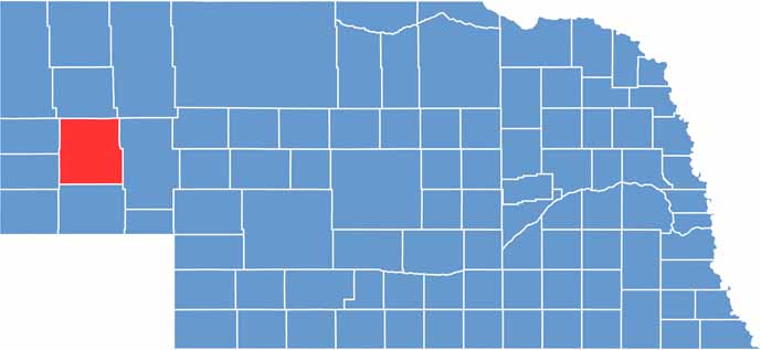

Morrill County location map of Nebraska
CategoryDetails
County NameMorrill County
County SeatBridgeport
EtymologyNamed after Charles Henry Morrill, president of the Lincoln Land Company
Cities, Towns, and CommunitiesBridgeport, Bayard, Broadwater, Angora
Interstates and HighwaysUS 26, US 385, NE 92
FIPS Code31-123
Total Area (Land and Water)1,430 square miles (Land: 1,424 sq mi, Water: 6 sq mi)
Adjacent Counties (and Direction)Box Butte County (North), Sheridan County (Northeast), Garden County (East), Cheyenne County (South), Banner County (Southwest), Scotts Bluff County (Northwest)
Time ZoneMountain Time Zone (MT)
StateNebraska
Coordinates41.7264° N, 103.0013° W
Major LandmarksChimney Rock National Historic Site, Courthouse and Jail Rocks, Bridgeport State Recreation Area
PopulationApproximately 4,700
Scroll to Top