
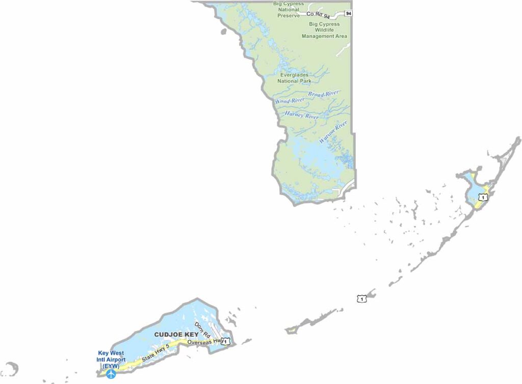
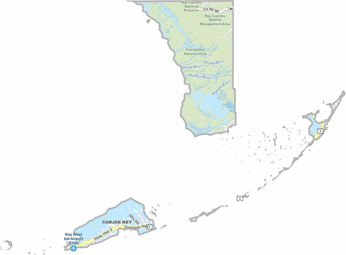
Monroe County is unique because most of its area is covered by water. The Florida Keys stretch out like a string of islands, with Key West as the best-known destination. It is home to the southernmost point of the continental United States and lies closer to Cuba than to Miami.
Fishing, snorkeling, and diving are popular activities, thanks to the coral reefs and surrounding waters. The Keys have a relaxed atmosphere with a distinctly Caribbean influence. Key West’s Duval Street is known for its lively nightlife, while the other islands offer quieter places to relax. The Overseas Highway connects the Keys and provides a scenic route across the islands.
The Ernest Hemingway Home and Museum is a popular attraction in Key West, known for its literary history and famous six-toed cats. Boats are a major part of everyday life throughout the county, particularly in the island communities. With tropical scenery, colorful sunsets, and a laid-back culture, Monroe County offers an experience unlike anywhere else in Florida.
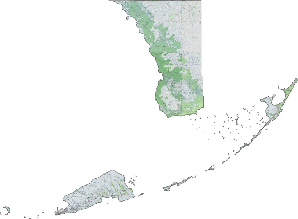
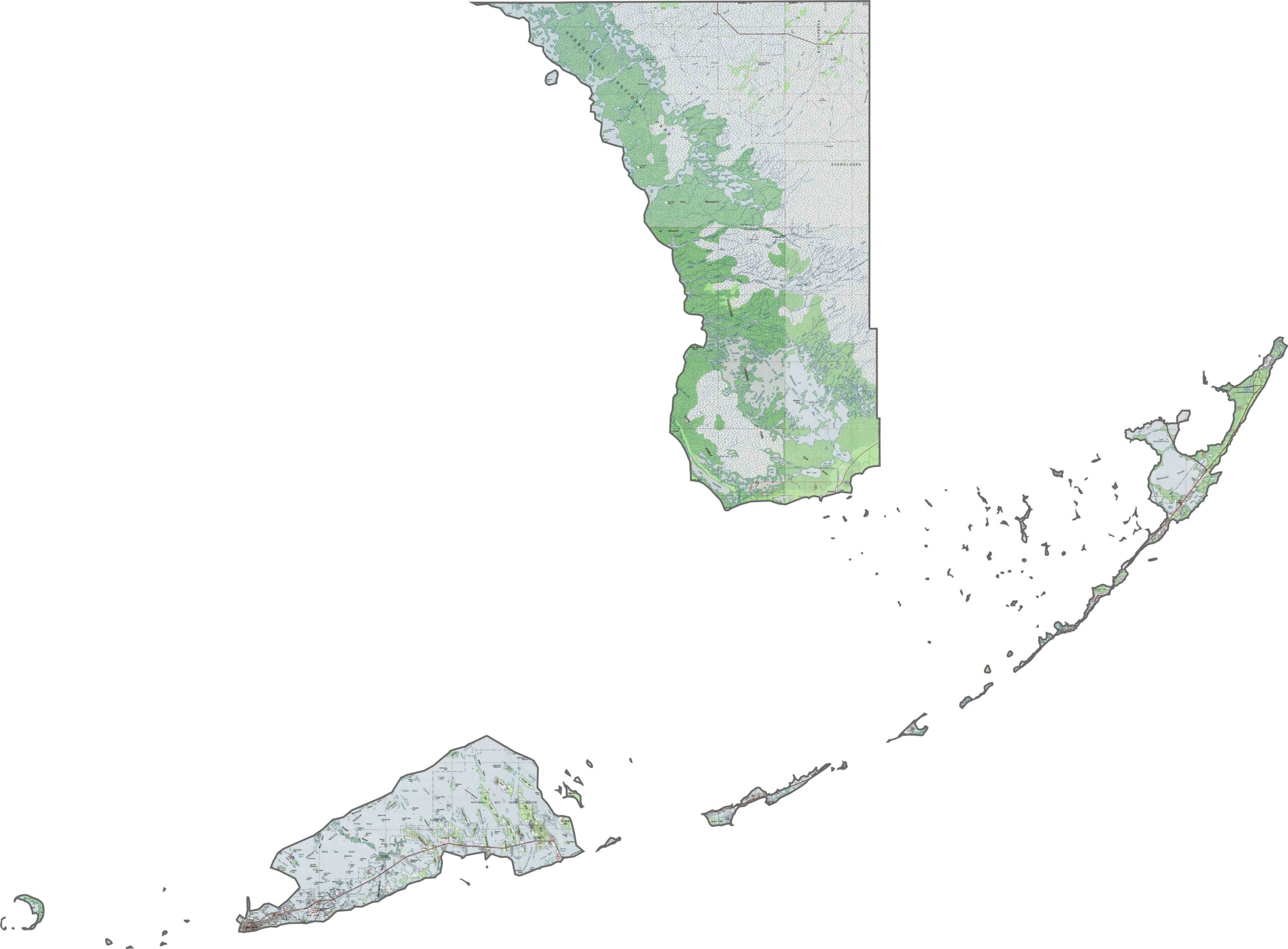
Key West and the Florida Keys archipelago stretch across our unique Monroe County topographic map, highlighting the southernmost point of the continental United States. Use our zoom tool to explore Dry Tortugas National Park and the scattered islands that make up this predominantly marine county.
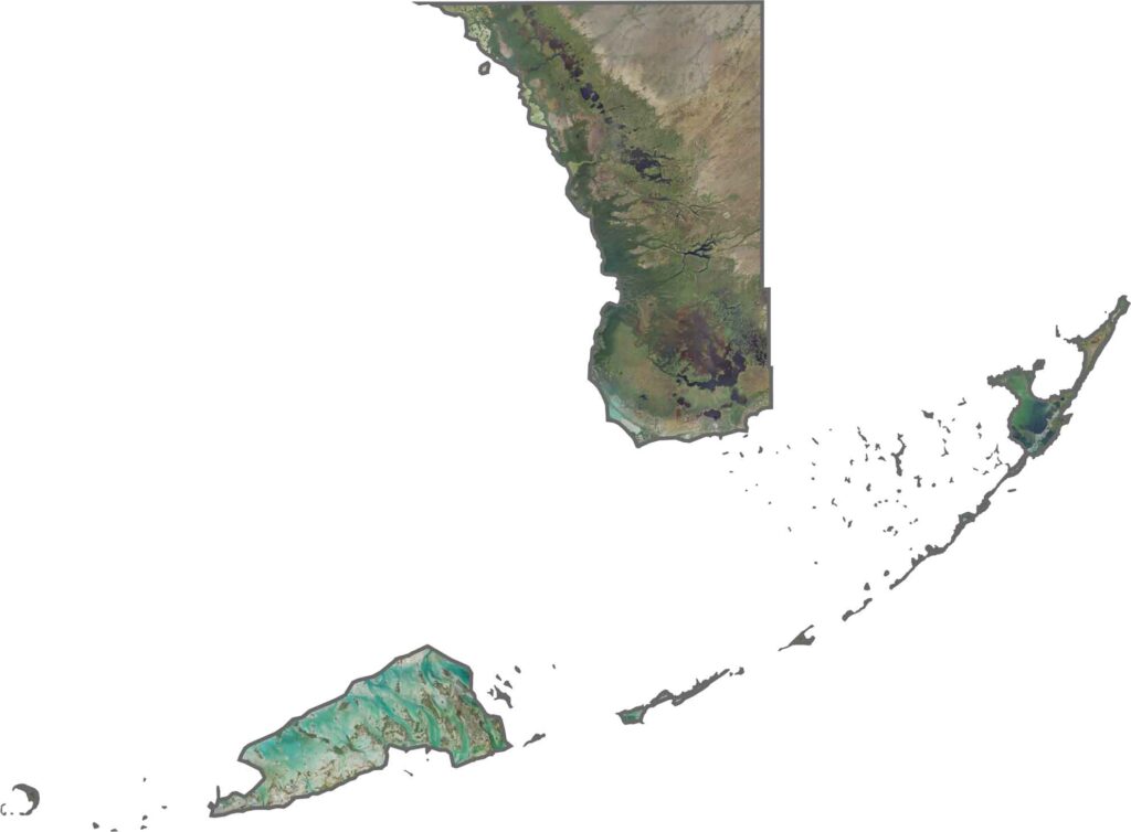
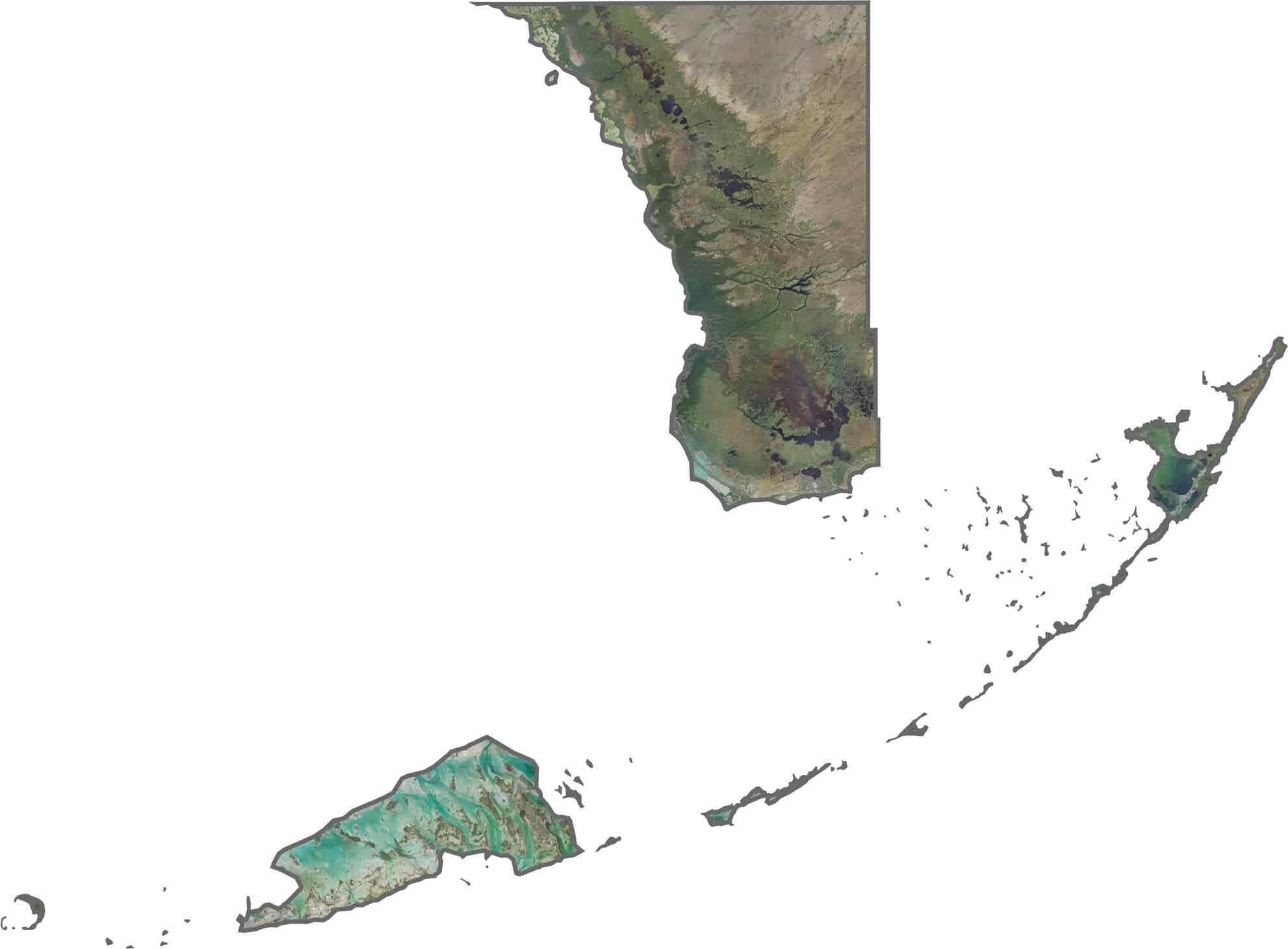
Our satellite map reveals the Florida Keys archipelago extending through the turquoise waters of the surrounding seas. Key West sits near the end of the island chain, while Florida Bay stretches between the Keys and the mainland. Zoom in to explore the islands, waterways, and surrounding marine landscape.
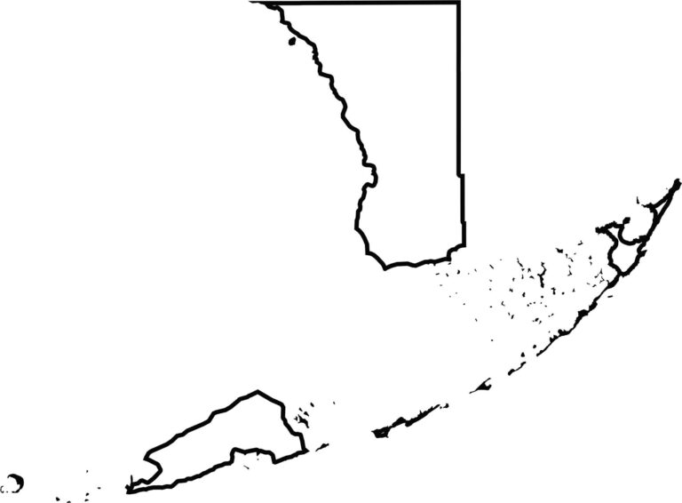
Our blank map shows Monroe County’s distinctive shape, consisting of the Florida Keys archipelago and a portion of the mainland Everglades. Most of the county is water, with small areas of land scattered across the region. The main chain stretches for more than 100 miles from Key West toward Key Largo.








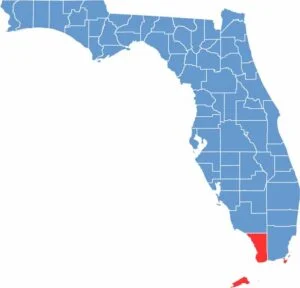
Looking to find a county map of Florida? Our Florida county map breaks down all 67 counties. Explore the Sunshine State with detailed topographic, satellite, and outline maps.