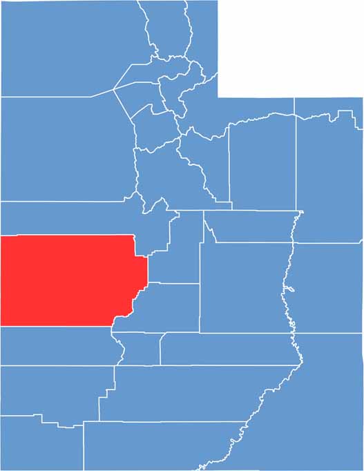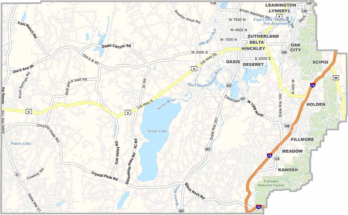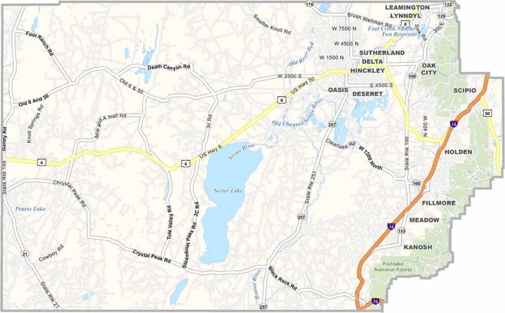
Millard County covers a large area of west-central Utah, known for its dramatic landscapes and extreme weather. Summers can be scorching, while winters bring bitterly cold temperatures. Much of the county lies within the Sevier Desert, with the Pahvant Range adding rugged mountain scenery to the landscape.
Delta is the county’s largest community, home to around 3,500 residents. Agriculture is an important part of the local economy, with vast fields of alfalfa stretching across the countryside. The county was named after Millard Fillmore, the 13th president of the United States.
Rock enthusiasts are drawn to Topaz Mountain, a popular spot for finding topaz and other minerals. In Fillmore, the Territorial Statehouse State Park Museum offers a glimpse into Utah’s early history and preserves the state’s oldest surviving government building.