
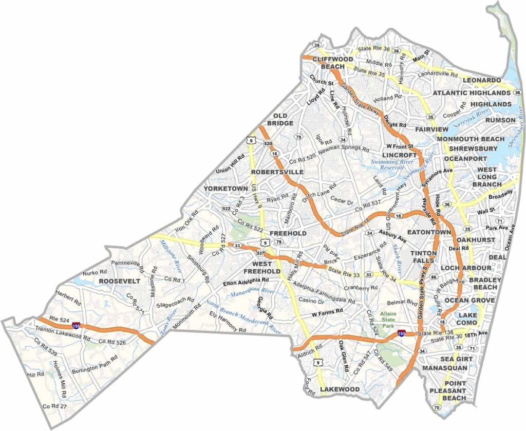
Monmouth County sits along the Jersey Shore, just south of New York City. It has beaches and horse farms, mansions and Main Streets, and the Shore is a big draw. History runs deep in these parts, and Freehold, the county seat, has buildings dating back to the 1700s.
From Sandy Hook to Asbury Park, there's a beach for every taste. Asbury Park has made quite the comeback. Bruce Springsteen cut his teeth in its clubs, and today it's a hip destination again. But Monmouth isn't just about the coast. Head inland and you'll find yourself in horse country.
The county has some quirky claims to fame too. Ever heard of Keansburg Amusement Park? It's one of the oldest in the country. From the Twin Lights lighthouse to the PNC Bank Arts Center, Monmouth County is a slice of Jersey that has it all. Colts Neck and its surroundings are full of sprawling equestrian estates.
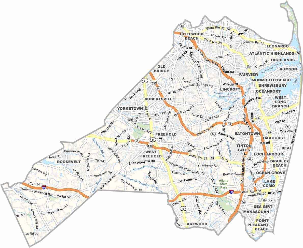
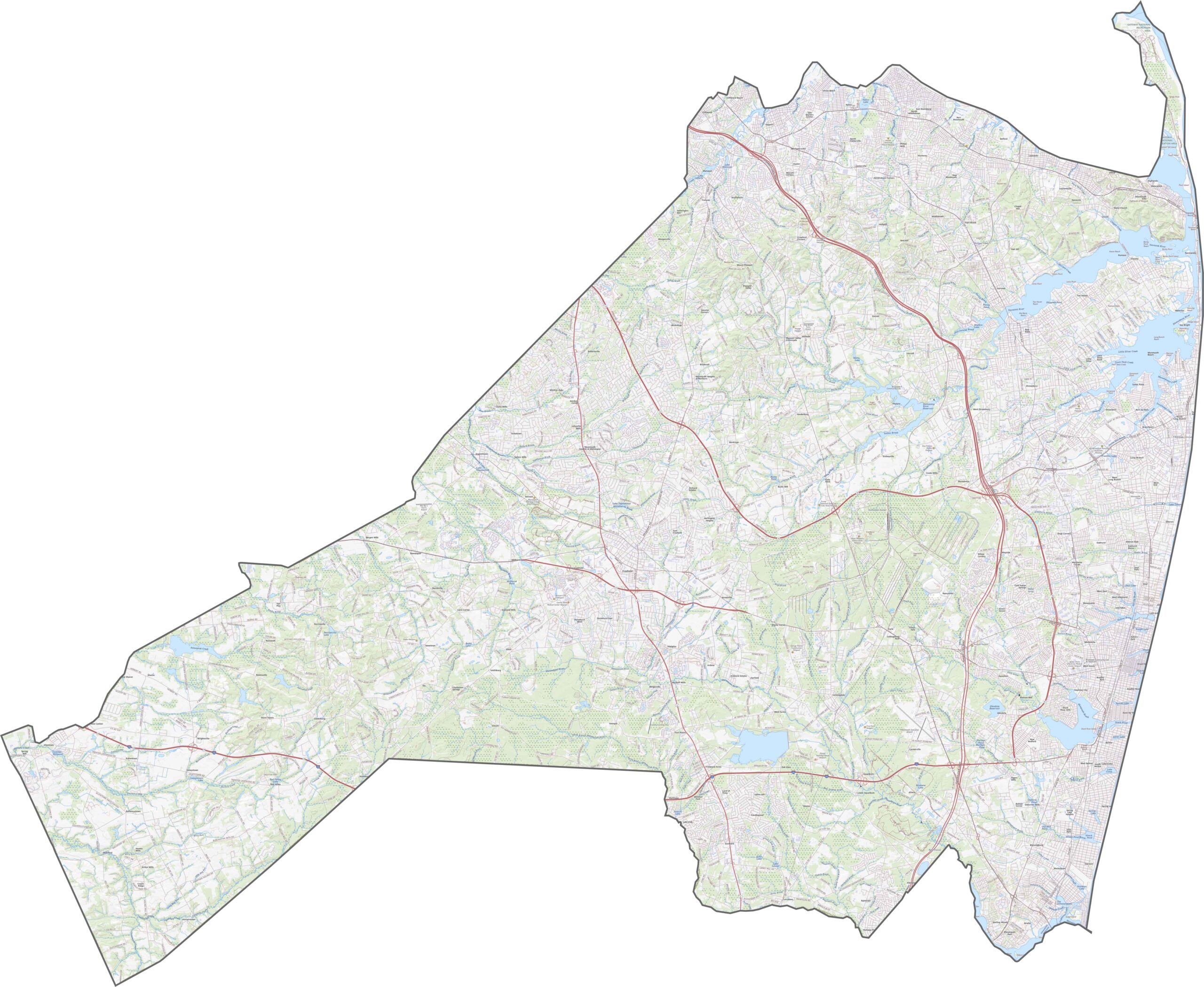
Monmouth County has both beach traffic and backroad meandering. The Garden State Parkway slices north to south, carrying shore-bound crowds in summer, while Route 18 runs inland, faster and quieter. Route 35 and Route 36 keep things moving along the coast.
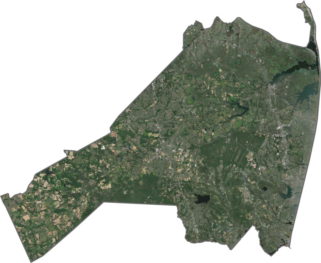
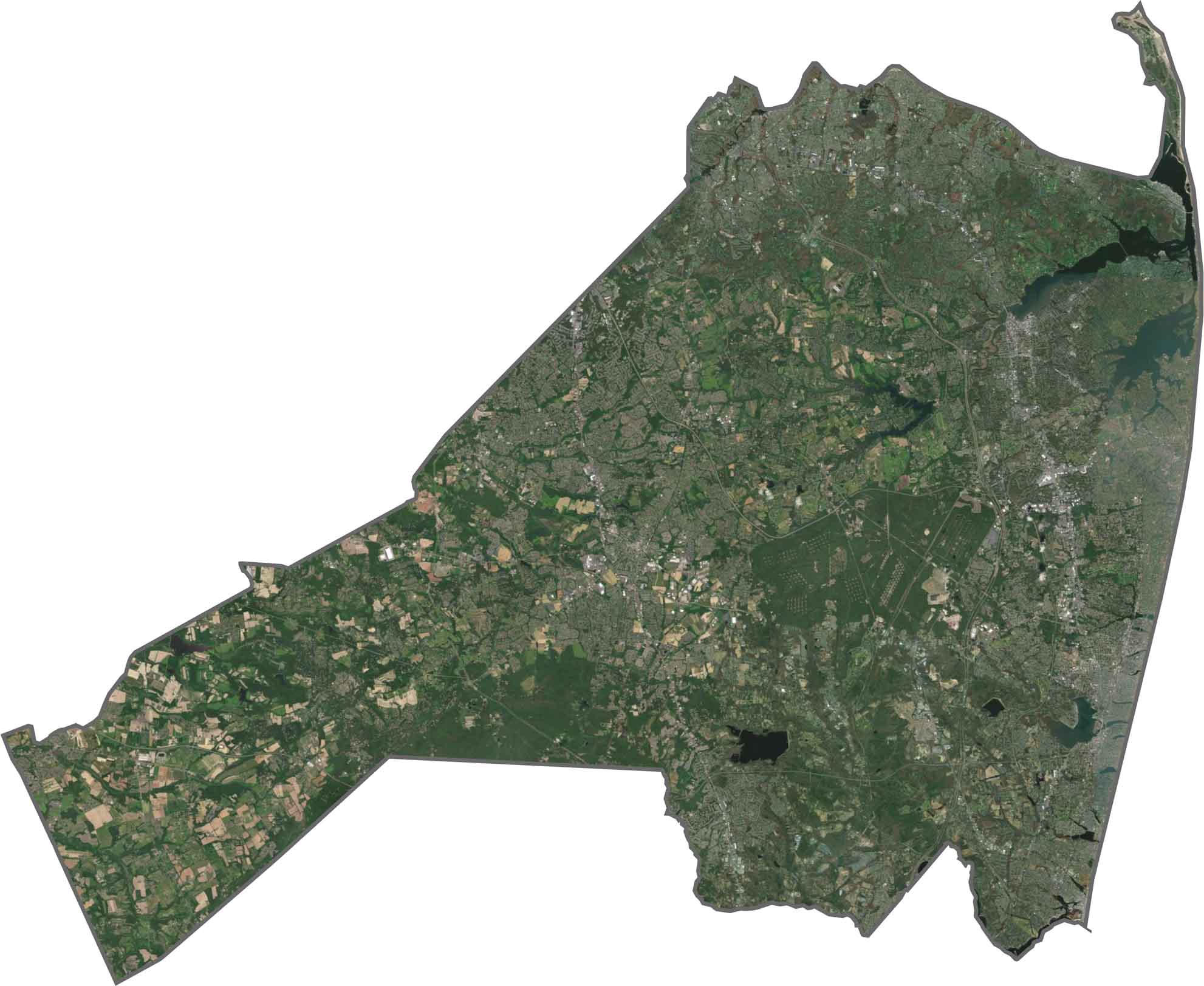
From above, Monmouth County is half green and half gray, with a slice of blue down the right side (though it's tough to see). The coast is the showstopper, with its beaches, bays, and long barrier stretches. Inland, neighborhoods pop up in clusters, separated by woods and wide parks. It's equal parts suburb, farmland, and shore town.
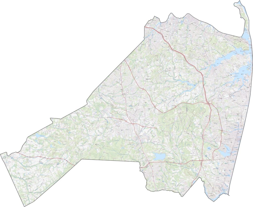
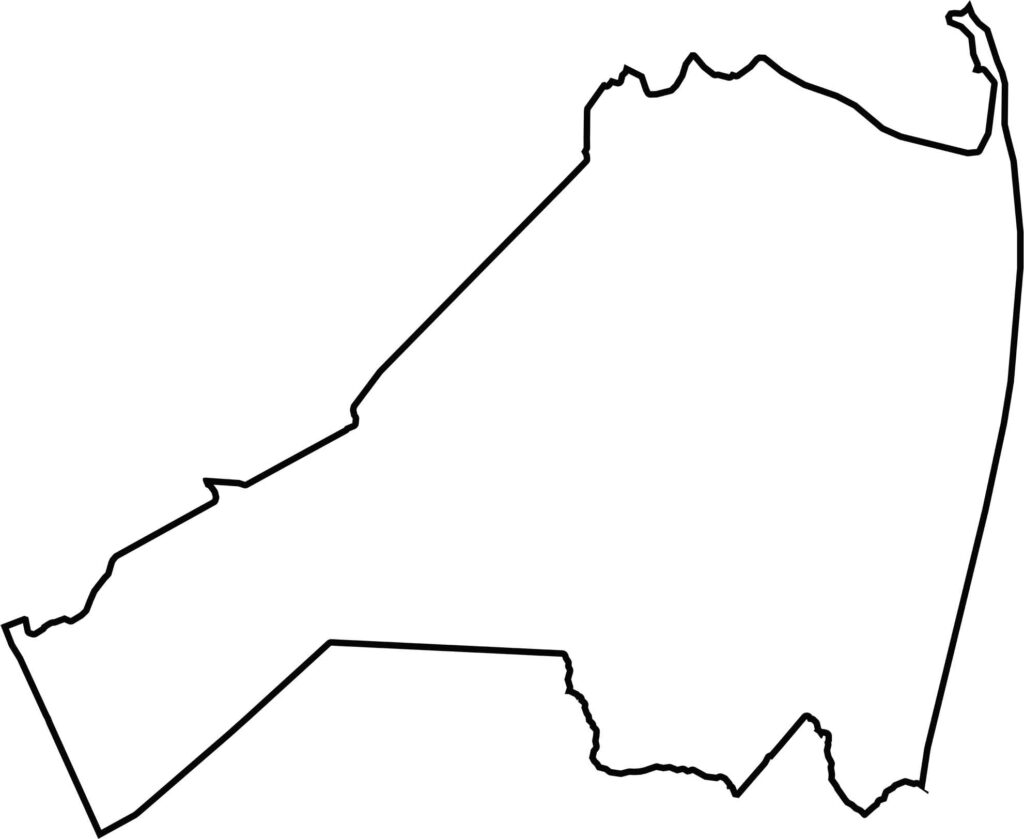
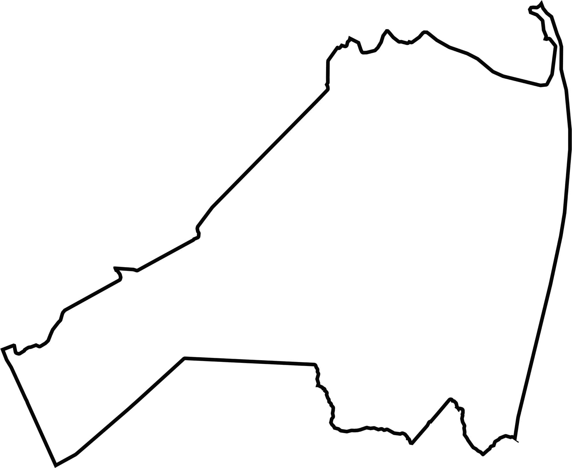
Monmouth County is shaped like a backwards comma, curving along the Atlantic. The coastline defines the eastern edge, complete with bays, rivers, and slivers of land that nearly break off. The county borders the ocean rather than another state, but water still plays just as big a role.






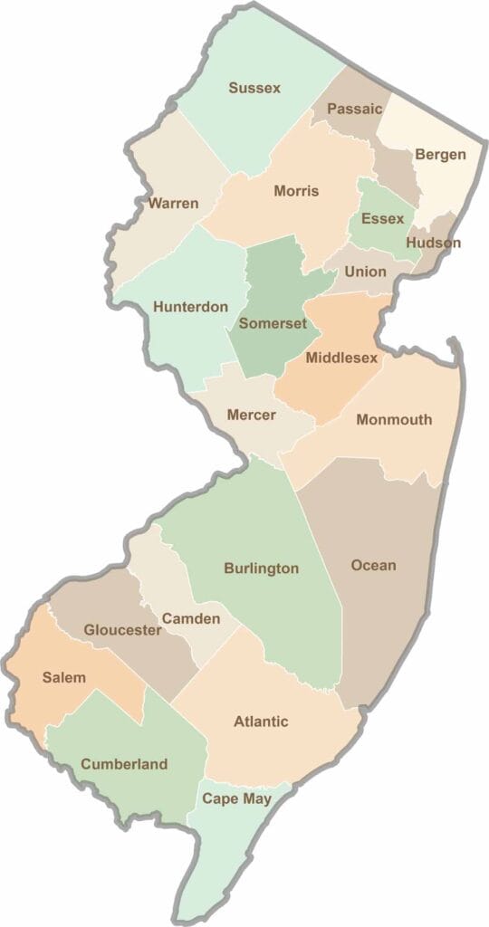
New Jersey packs a lot into its 21 counties, from beach towns and Pine Barrens forests to rolling farmland. Trace colonial history in Hunterdon County or stroll the boardwalk in Ocean County. There's far more here than meets the Turnpike.