Monroe County Map Download Alabama – Outline Map and Blank Map

Monroe County Map Download Alabama – Outline Map and Blank Map

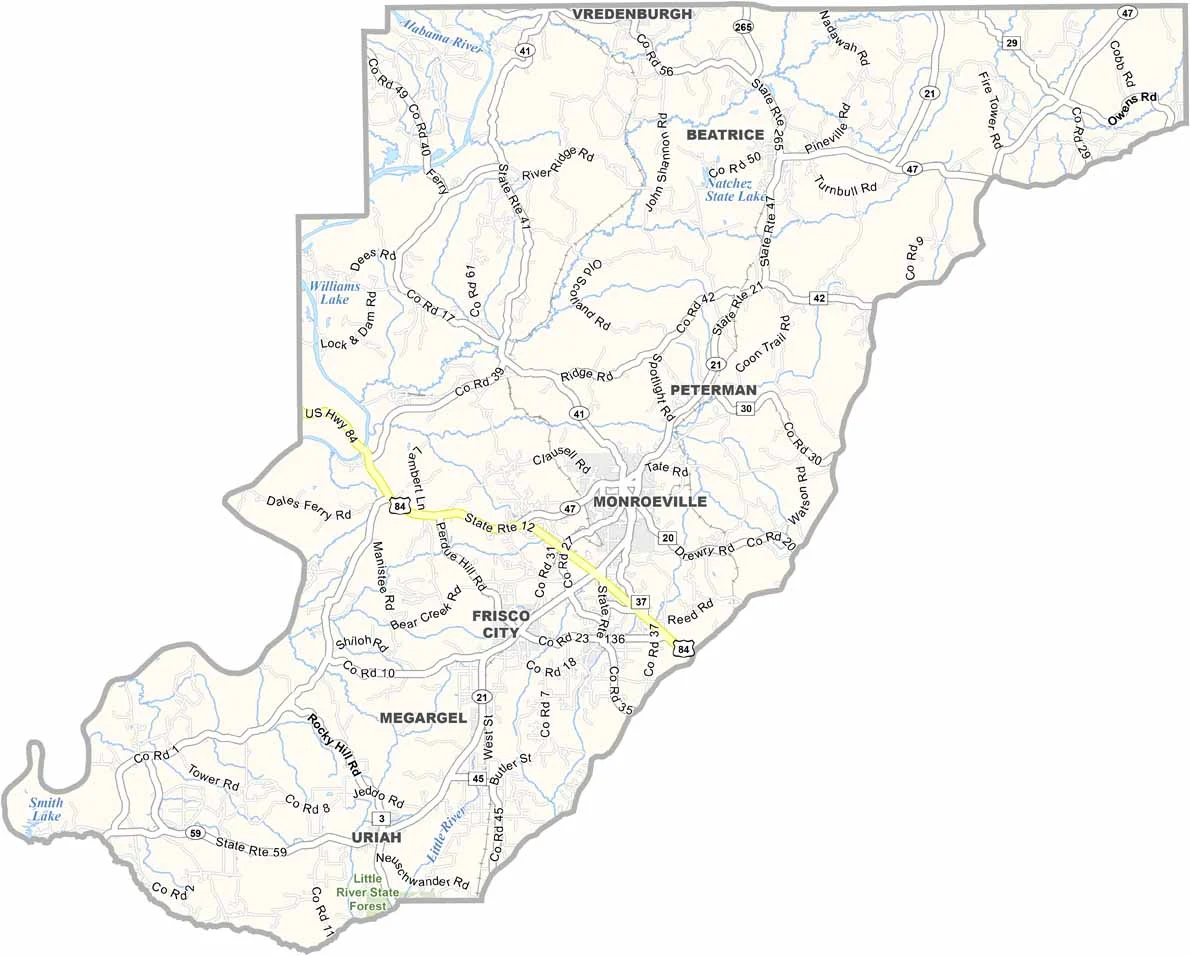
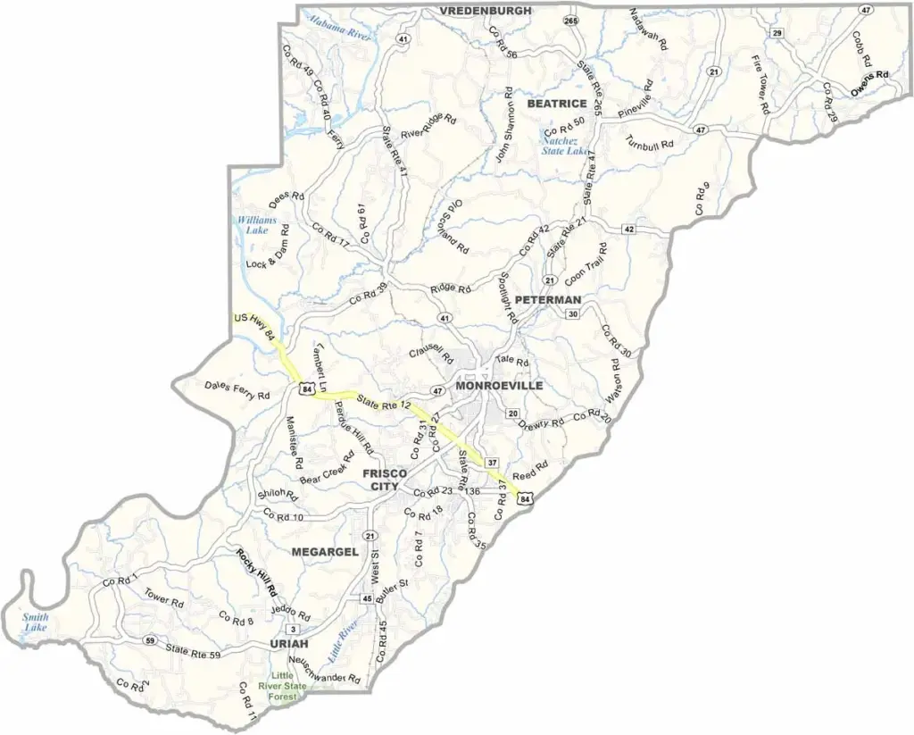
Monroe County maps showing boundaries and locations in Alabama.

Monroe County, Alabama

Monroe County is located in the southwestern part of Alabama. Its county seat is Monroeville, and the county has a total population of around 20,000 people. Major routes such as U.S. Highway 84 and Highway 21 pass through the area.

The Alabama River runs along most of the county’s western edge, offering scenic views and fishing opportunities. The local economy mainly depends on timber and agriculture due to its large forests and farmland.

Monroeville is also known for its literary history, as it is where Harper Lee and Truman Capote grew up as childhood friends. The historic courthouse, which inspired the one in To Kill a Mockingbird, has now been turned into a museum.
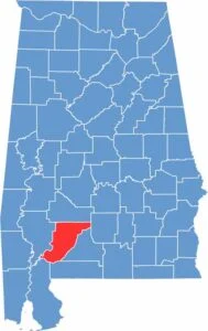

Monroe County location map showing its position in Alabama.
Category Details
County Name Monroe County
County Seat Monroeville
Cities, Towns, and Communities Monroeville, Beatrice, Excel, Frisco City, Megargel, Peterman, Uriah, Vredenburgh
Interstates and Highways U.S. Highway 84, U.S. Highway 21, State Route 41, State Route 47, State Route 59, State Route 136
Etymology Named after James Monroe, the fifth President of the United States
FIPS Code 01-099
Total Area (Land and Water) 1,034 square miles (Land: 1,026 sq mi, Water: 8 sq mi)
Time Zone Central Time Zone (CT)
State Alabama
Coordinates 31.5275° N, 87.3290° W
Major Landmarks Monroe County Courthouse (famous for its connection to “To Kill a Mockingbird”), Old Claiborne (historic site), Rikard’s Mill Historical Park, Burnt Corn Creek Park, Alabama River
Adjacent Counties (and Direction) Wilcox County (North), Butler County (Northeast), Conecuh County (East), Escambia County (Southeast), Baldwin County (Southwest), Clarke County (West)
Population Approximately 20,000
Scroll to Top