
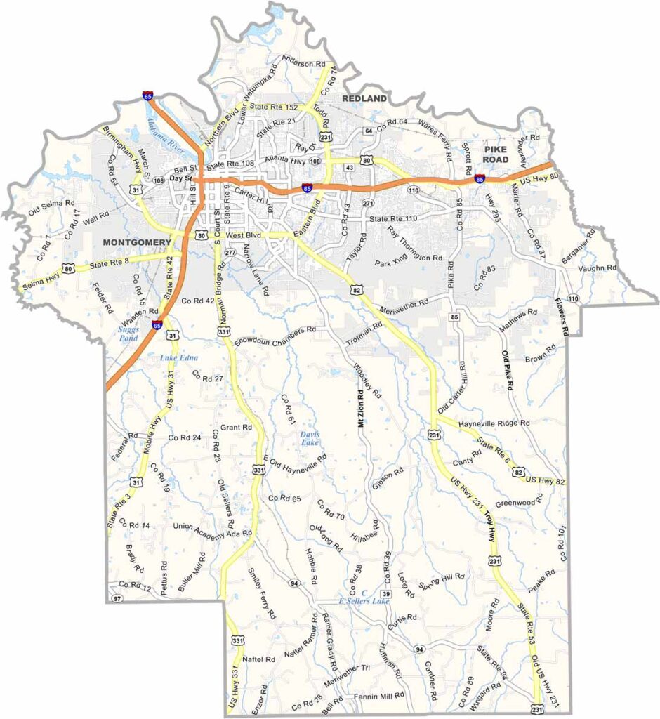
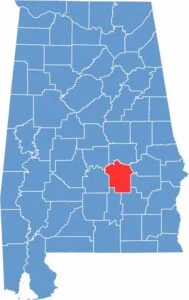
Montgomery County, located in the heart of Alabama, serves as the state’s political and cultural hub. Its county seat, Montgomery, is also the state capital and holds significant importance in American history.
The city is famously known as the place where Rosa Parks initiated the Montgomery Bus Boycott, an event that played a major role in the Civil Rights Movement. Today, Montgomery is home to landmarks such as the Civil Rights Memorial and the Rosa Parks Museum.
With a population of roughly 230,000, the county is well connected by major routes including U.S. Highway 231 and Interstate 65. It also features historic sites like the Alabama State Capitol and the First White House of the Confederacy, which reflect different aspects of the nation’s past.
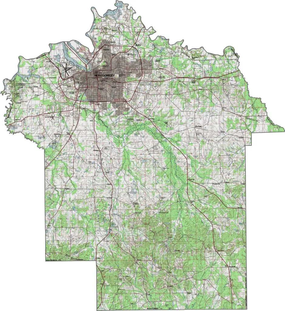
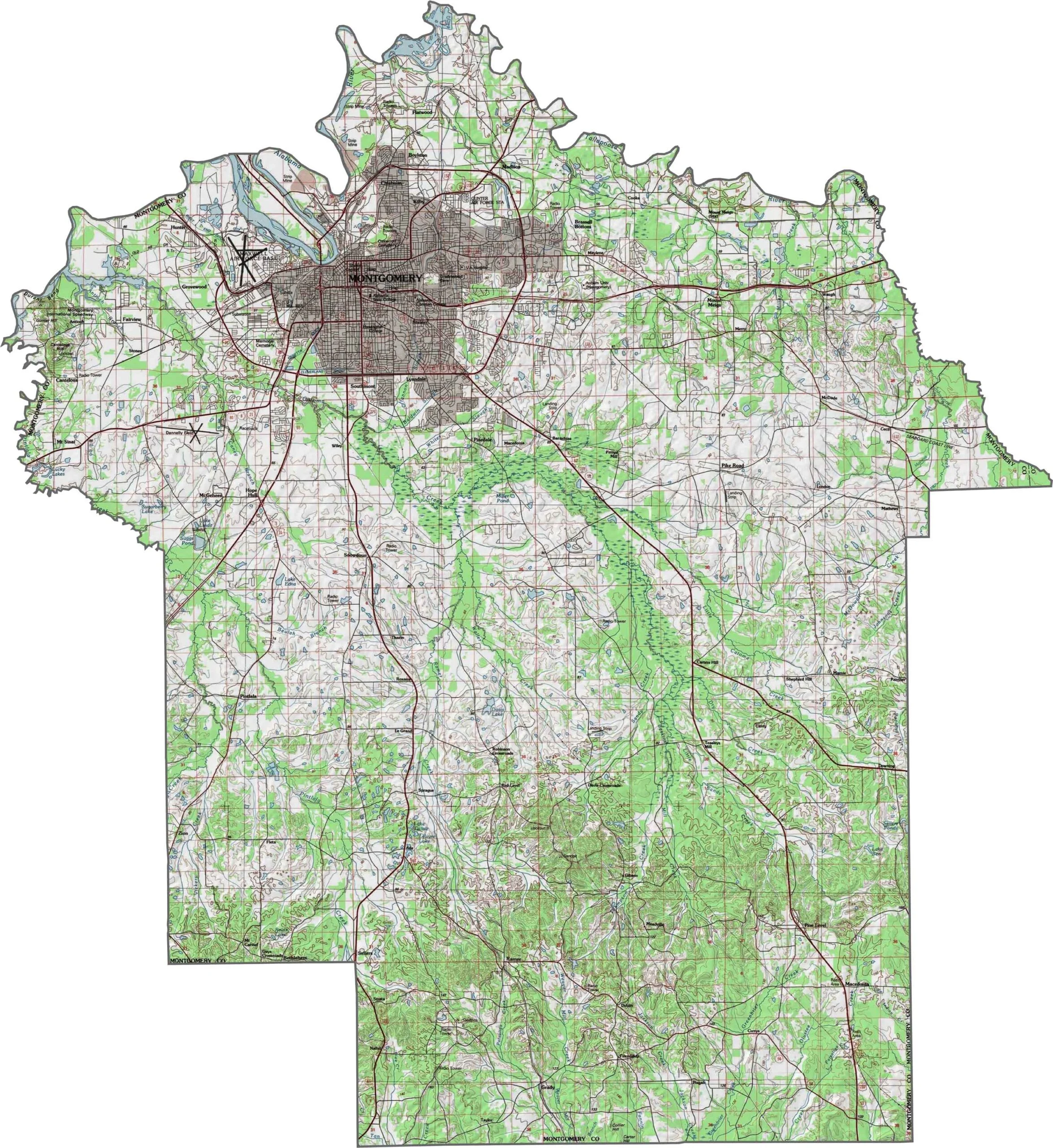
This topographic map highlights Montgomery County’s hills, creeks, and varied terrain. The contour lines clearly show the county’s slopes, rises, and changes in elevation.
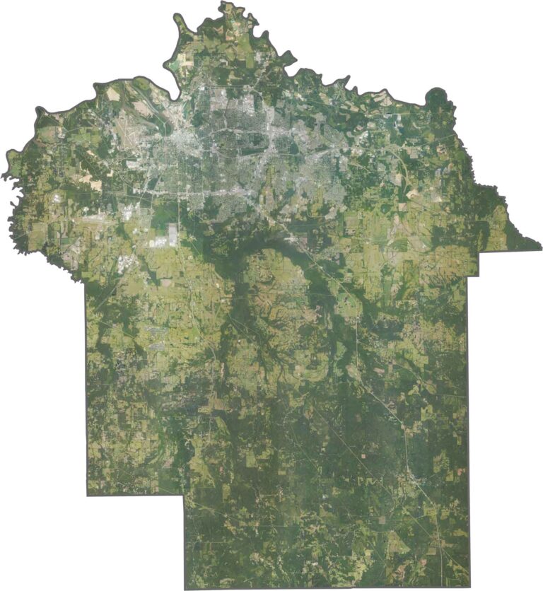
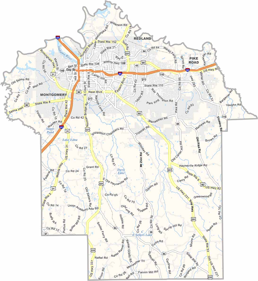
This satellite map provides a detailed view of Montgomery County’s landscape, highlighting its cities, roads, waterways, and natural areas.
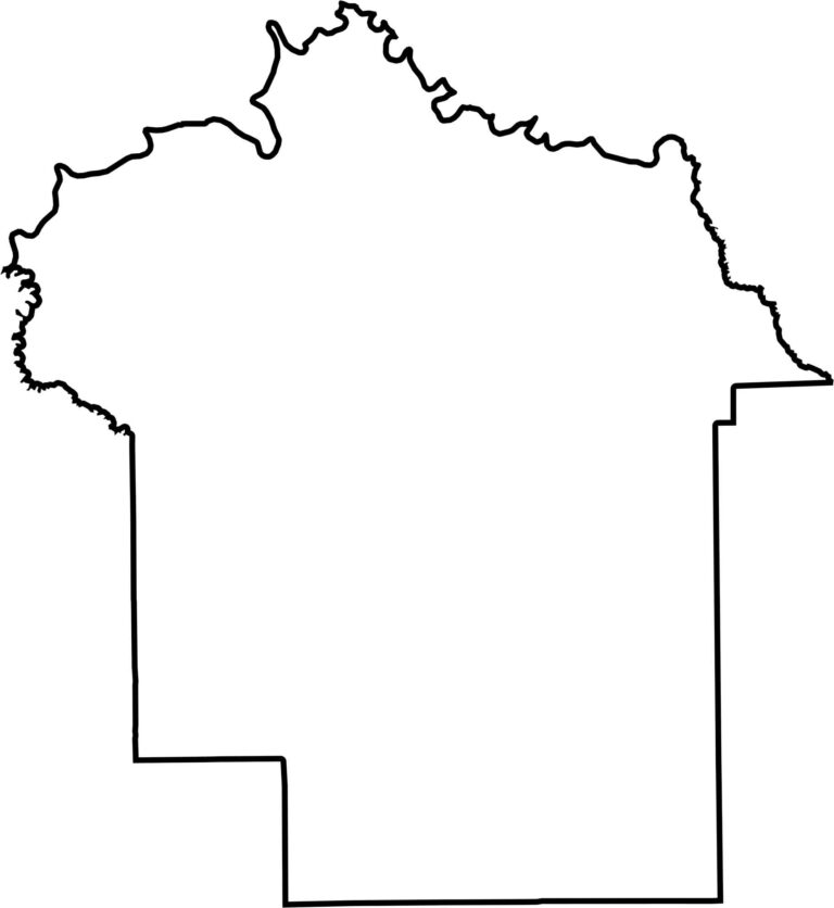
This blank map outlines Montgomery County’s basic shape and boundaries. Its simple design makes it easy to view and understand the county’s overall outline.








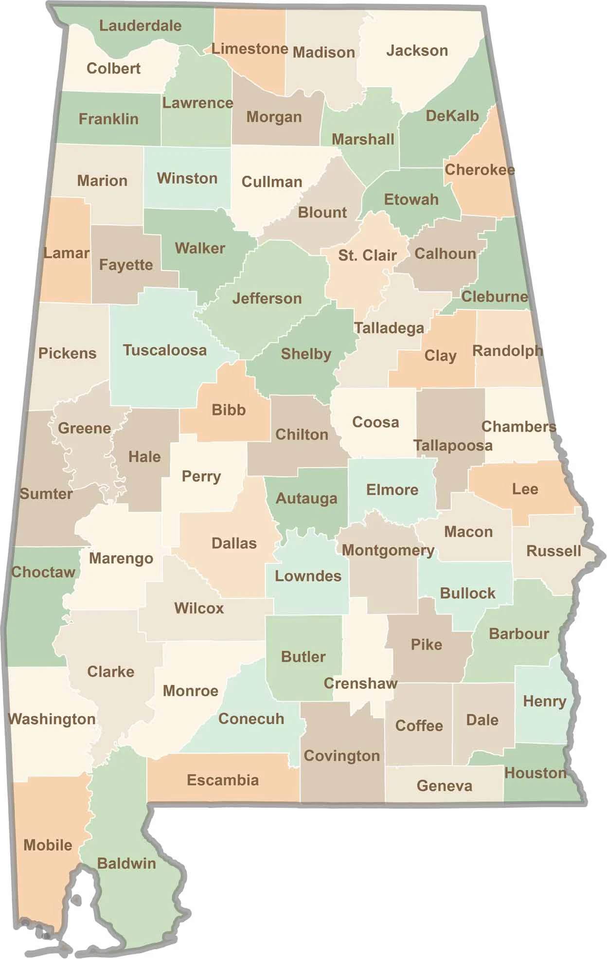
Discover Alabama county by county with our detailed Alabama county map. Easily explore county boundaries across the state—ideal for travel planning, local research, or satisfying your curiosity.