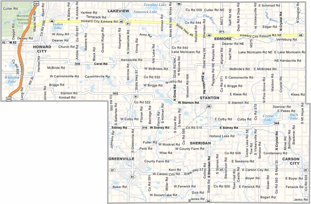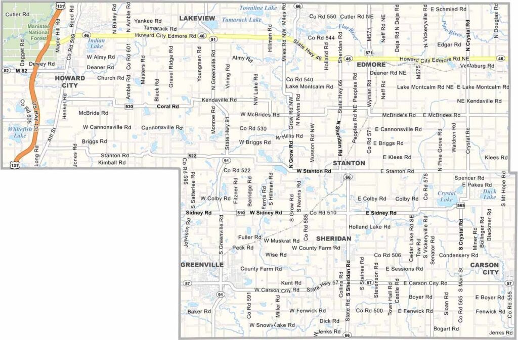
Montcalm County Map, Michigan

Montcalm County, Michigan

Montcalm County sits in the middle of Michigan’s mitten, northeast of Grand Rapids. It’s a place where small towns and sprawling farmland create a picture of classic Midwest charm.

Stanton is the county seat. Meanwhile, Greenville is known as the Danish Festival City, celebrating its heritage every August with pastries, parades, and more.

The Flat River winds through the county, offering prime spots for fishing and kayaking. History buffs can get their fix at the Flat River Historical Museum, while nature lovers head to the Fred Meijer Heartland Trail.
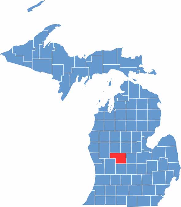

Montcalm County location map of Michigan
CategoryDetails
County NameMontcalm County
County SeatStanton
Cities, Towns, and CommunitiesGreenville, Stanton, Howard City, Edmore, Lakeview, Sheridan, Carson City, Coral
Interstates and HighwaysM-46, M-57, M-66, M-91
FIPS Code26-117
Total Area (Land and Water)721 square miles (Land: 708 sq mi, Water: 13 sq mi)
Adjacent Counties (and Direction)Isabella County (Northeast), Mecosta County (North), Gratiot County (East), Newaygo County (West), Ionia County (South), Kent County (Southwest), Clinton County (Southeast)
Time ZoneEastern Time Zone (ET)
StateMichigan
Coordinates43.3110° N, 85.1337° W
EtymologyNamed after Louis-Joseph de Montcalm, a French military commander in Quebec
Major LandmarksTamarack Lake, Clifford Lake, Flat River, Montcalm Heritage Village, Manistee National Forest
PopulationApproximately 65,000
Scroll to Top