
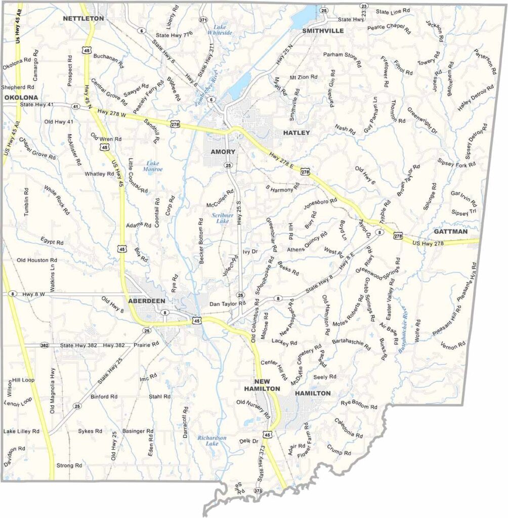
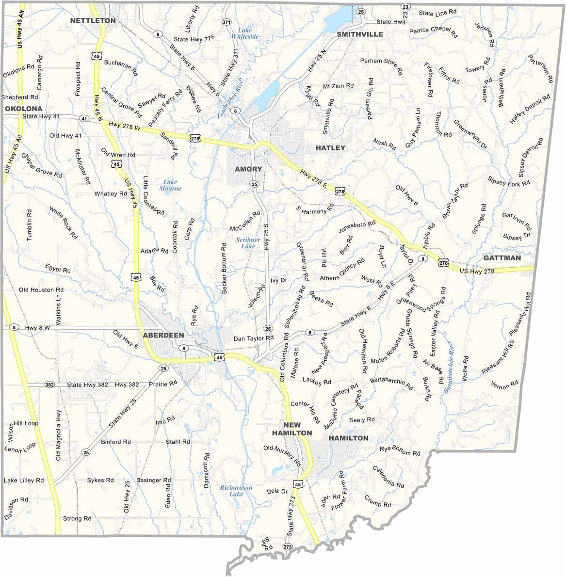
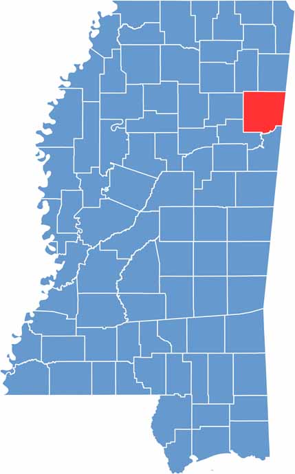
If you're heading to northeast Mississippi, you might find yourself in Monroe County. It sits right on the Alabama border, with the Tombigbee River running through it.
Aberdeen, the county seat, is full of old antebellum homes. The county is a mix of farmland and small towns, each with its own character.
Amory is known for its railroad history and a pretty good barbecue festival. Outdoorsy types love it here because there's plenty of fishing and hunting.

Mississippi Counties
Rankin County Map Download Mississippi – Outline Map and Blank Map

Mississippi Counties
Madison County Map Download Mississippi – Outline Map and Blank Map

Mississippi Counties
Jackson County Map Download Mississippi – Outline Map and Blank Map

Mississippi Counties
Hinds County Map Download Mississippi – Outline Map and Blank Map

Mississippi Counties
Harrison County Map Download Mississippi – Outline Map and Blank Map

Mississippi Counties