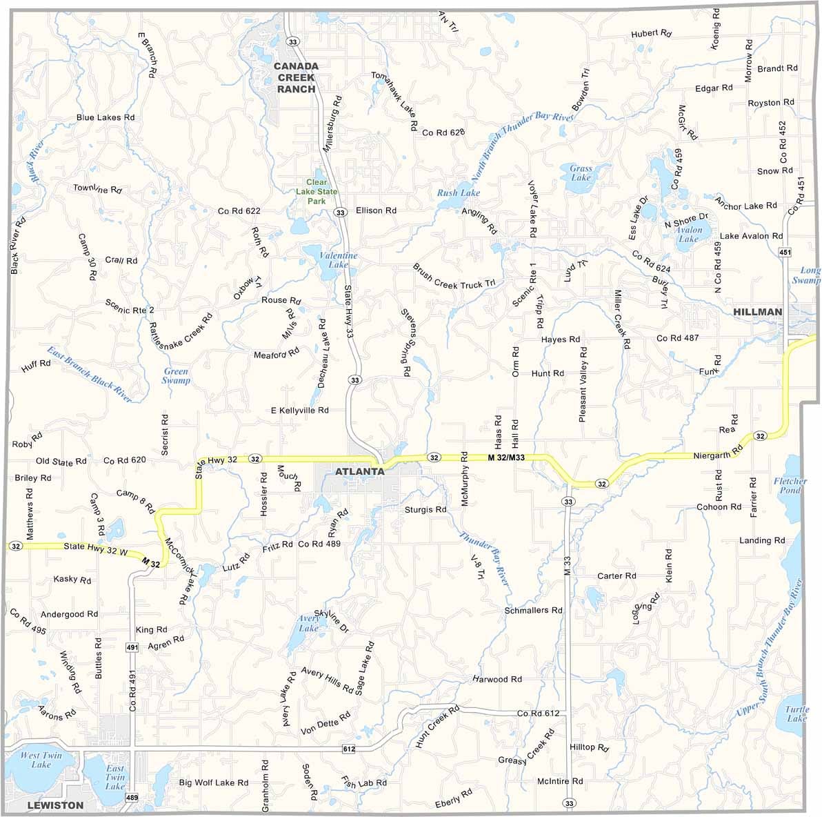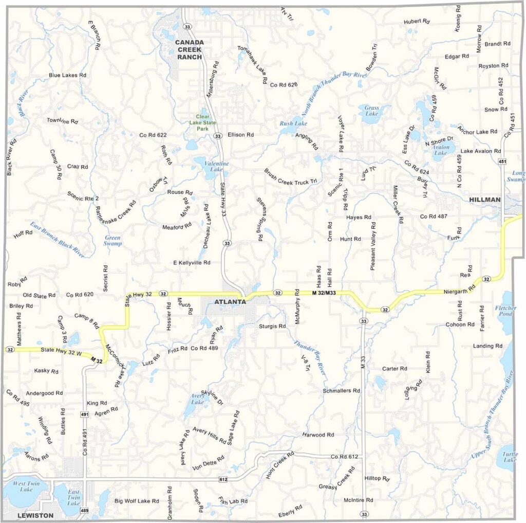
Montmorency County Map, Michigan

Montmorency County, Michigan

Montmorency County sits in the northern part of Michigan’s Lower Peninsula. It’s a land of forests, lakes, and small towns that feels a world away from big-city life.

The county seat, Atlanta, isn’t exactly a metropolis. But hey, do we really want a metropolis here? Nah. This is where nature reigns supreme.

Summer brings hikers and campers to spots like Clear Lake State Park. The Thunder Bay River winds through the county. What more could you ask for?
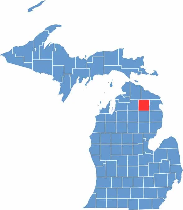

Montmorency County location map of Michigan
CategoryDetails
County NameMontmorency County
County SeatAtlanta
Cities, Towns, and CommunitiesAtlanta, Hillman, Lewiston, Vienna, Avery Township, Briley Township
Interstates and HighwaysM-32, M-33
FIPS Code26-119
Total Area (Land and Water)563 square miles (Land: 547 sq mi, Water: 16 sq mi)
Adjacent Counties (and Direction)Presque Isle County (Northeast), Alpena County (East), Alcona County (Southeast), Oscoda County (South), Crawford County (Southwest), Otsego County (West), Cheboygan County (Northwest)
Time ZoneEastern Time Zone (ET)
StateMichigan
Coordinates45.0308° N, 84.1263° W
EtymologyNamed after the House of Montmorency
Major LandmarksThunder Bay River, Avery Lake, Clear Lake State Park, Lewiston Lodge
PopulationApproximately 9,000
Scroll to Top