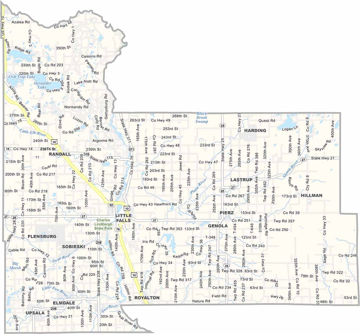
Morrison County Map, Minnesota

Morrison County, Minnesota

Morrison County sits in central Minnesota, about two hours northwest of the Twin Cities. The Mississippi River cuts right through the county.

Little Falls is the county seat and is where Charles Lindbergh grew up. You can actually visit his childhood home, which is pretty cool.

There's fishing, hunting, and miles of trails for hiking and biking. Corn and dairy are big players in the local economy. Also, the Great River Arts center in Little Falls showcases local talent year-round.
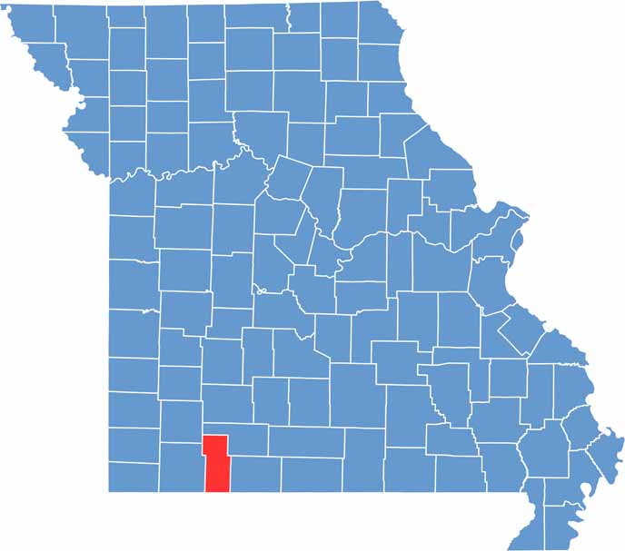

Printable Stone County Missouri location map showing county location and boundaries
CategoryDetails
County NameMorrison County
County SeatLittle Falls
PopulationApproximately 34,000
Cities, Towns, and CommunitiesLittle Falls, Pierz, Royalton, Swanville, Motley, Randall, Bowlus, Flensburg, Upsala
Interstates and HighwaysUS 10, MN 27, MN 28, MN 238
FIPS Code27-097
Total Area (Land and Water)1,153 square miles (Land: 1,125 sq mi, Water: 28 sq mi)
Adjacent Counties (and Direction)Cass County (North), Crow Wing County (Northeast), Mille Lacs County (East), Benton County (Southeast), Stearns County (South), Todd County (West)
Time ZoneCentral Time Zone (CT)
StateMinnesota
Coordinates45.9854° N, 94.3621° W
EtymologyNamed after fur trader William and Allen Morrison
Major LandmarksCharles A. Lindbergh State Park, Minnesota Military Museum, Pine Grove Zoo, Camp Ripley

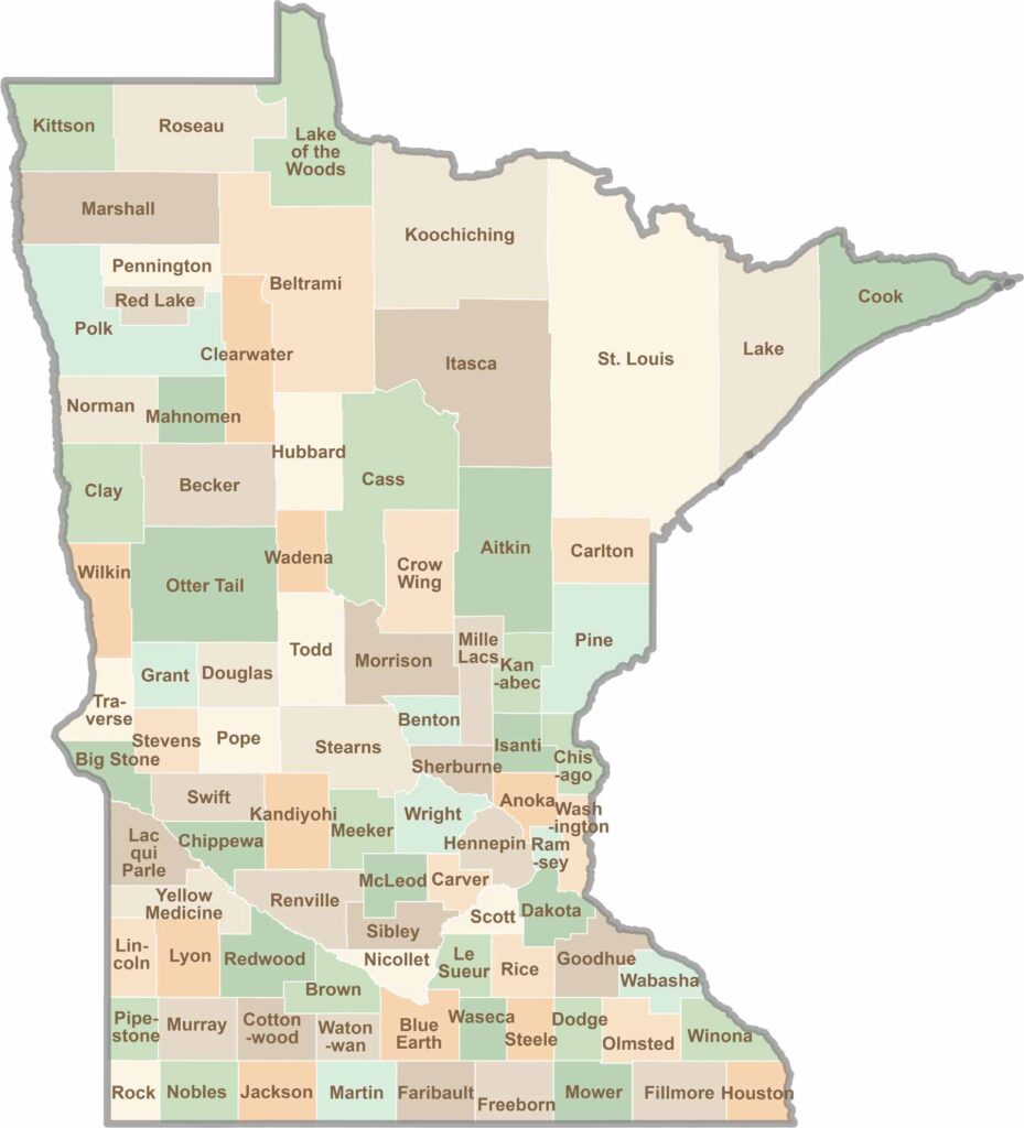
Minnesota County Map

Minnesota map showing major cities, roads, and state boundaries.

Land of 10,000 Lakes? How about the land of 87 counties to explore? Say hello to Hennepin County (Minneapolis) or the shores of Lake Superior. Get to know all the counties of Minnesota right here.

Scroll to Top