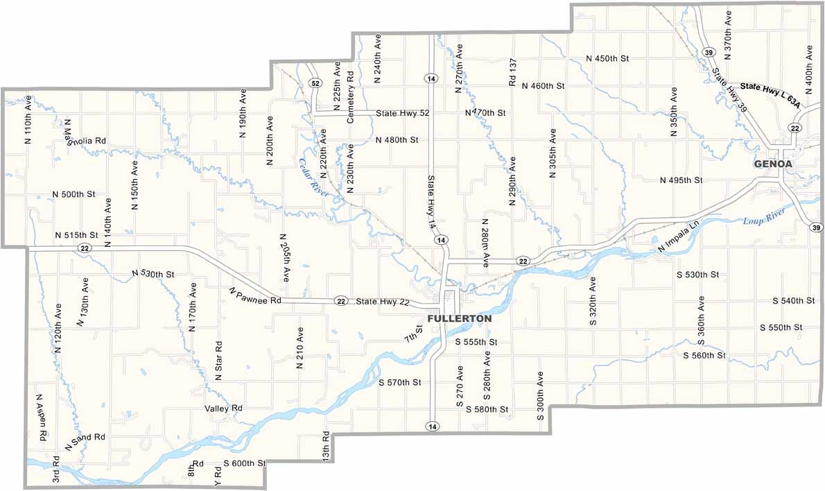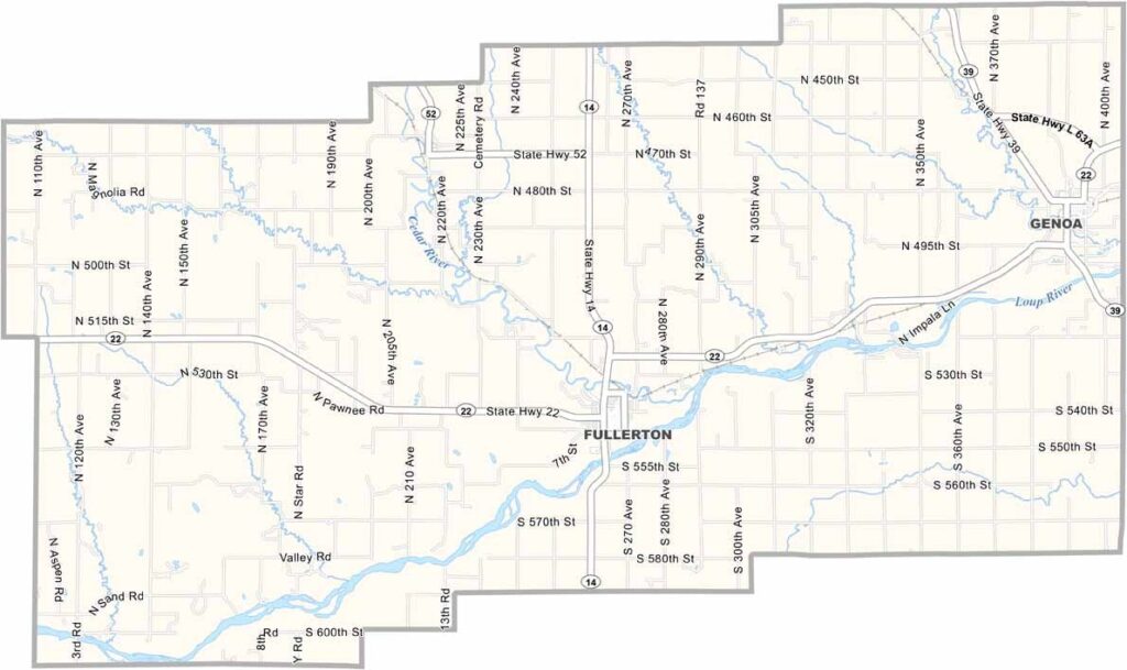
Nance County Map, Nebraska

Nance County, Nebraska

Nance County is located in east-central Nebraska. Fullerton is the largest town, with a population of around 1,200 people. The Loup River flows through the area, providing some pleasant scenery.

Farming is the main way of life here, with corn, soybeans, and cattle being the usual staples. There isn’t a lot going on, so locals tend to make their own entertainment.

High school sports are a big deal, and the community turns out to support the teams. The county also has an interesting history, having once been part of the Pawnee Reservation. Today, it’s quiet farm country. People here are friendly but tend to keep to themselves, and they like it that way.
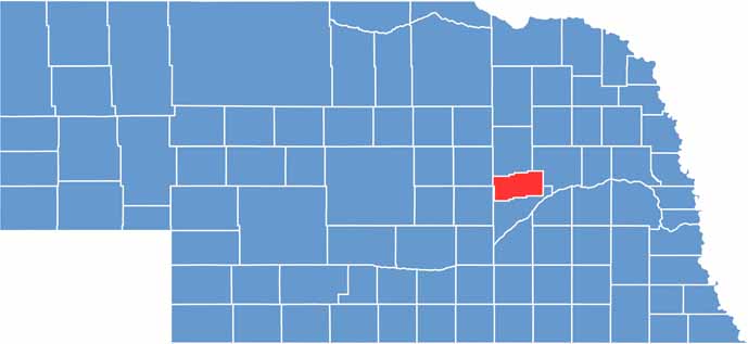

Nance County location map of Nebraska
CategoryDetails
County NameNance County
County SeatFullerton
EtymologyNamed after Albinus Nance, a former Governor of Nebraska
Cities, Towns, and CommunitiesFullerton, Genoa, Belgrade
Interstates and HighwaysUS 22, NE 14, NE 39
FIPS Code31-125
Total Area (Land and Water)448 square miles (Land: 442 sq mi, Water: 6 sq mi)
Adjacent Counties (and Direction)Platte County (Northeast), Merrick County (South), Greeley County (West), Boone County (North)
Time ZoneCentral Time Zone (CT)
StateNebraska
Coordinates41.3948° N, 98.0412° W
Major LandmarksPawnee Plunge Water Park, Nance County Historical Museum, Fullerton State Recreation Area
PopulationApproximately 3,600
Scroll to Top