
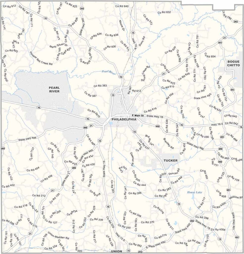
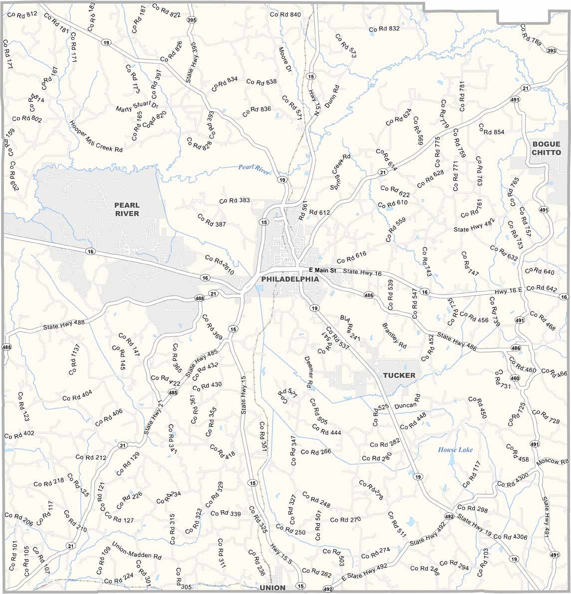
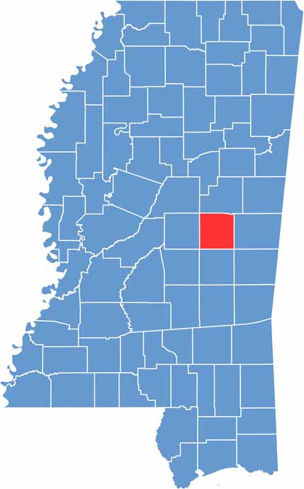
East central Mississippi is home to Neshoba County, a place with a complicated past and a lively present. Philadelphia, the county seat, is famous for its giant fair every summer.
The Neshoba County Fair is like nothing else: part political stump, part family reunion, all fun. It's so big here that they call it Mississippi's Giant House Party.
Choctaw history runs deep here. The Mississippi Band of Choctaw Indians calls this place home, and they have a resort and casino in the area. The county has its dark chapters too, from the civil rights era, that folks are still working through.

Mississippi Counties
Rankin County Map Download Mississippi – Outline Map and Blank Map

Mississippi Counties
Madison County Map Download Mississippi – Outline Map and Blank Map

Mississippi Counties
Jackson County Map Download Mississippi – Outline Map and Blank Map

Mississippi Counties
Hinds County Map Download Mississippi – Outline Map and Blank Map

Mississippi Counties
Harrison County Map Download Mississippi – Outline Map and Blank Map

Mississippi Counties