
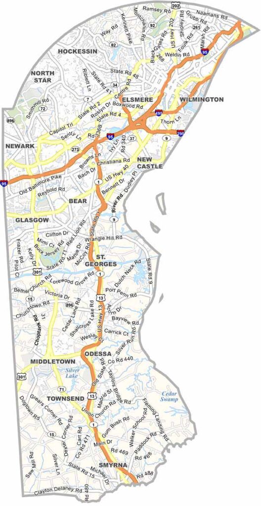
New Castle County occupies the northernmost corner of Delaware, where it borders Pennsylvania, Maryland, and New Jersey. As the state's most populous county, it serves as Delaware’s economic and cultural hub.
Steeped in history dating back to the 17th century, the county is home to the historic city of New Castle and Wilmington, Delaware’s largest city. Visitors can explore the scenic Brandywine Valley, paddle along the Christina River, or enjoy the area's rich cultural attractions.
Its convenient location also makes New Castle County an ideal starting point for day trips to nearby cities such as Philadelphia and Baltimore.
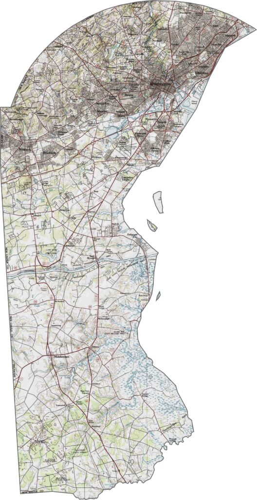
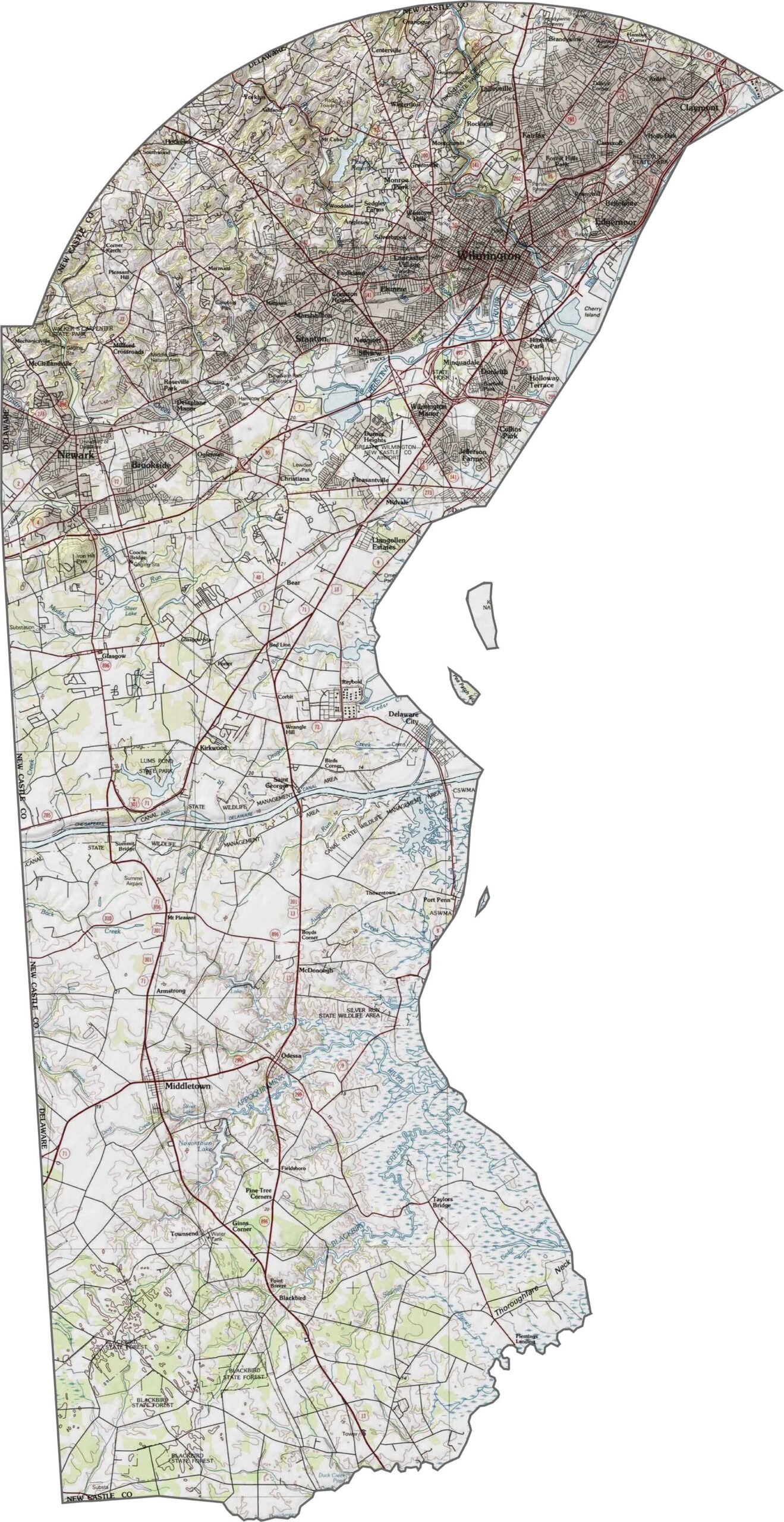
The northern part of New Castle County is characterized by rolling hills and the Piedmont Plateau, with elevations reaching approximately 450 feet at Ebright Road, the highest point in Delaware. Farther south, the landscape gradually transitions into flat coastal plains, where numerous streams and wetlands drain toward the Delaware River and Delaware Bay.
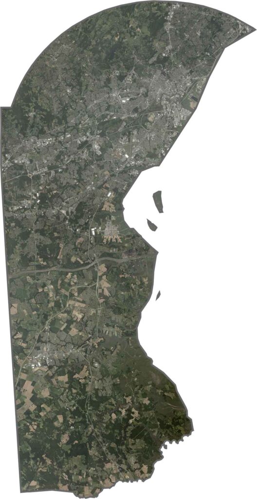
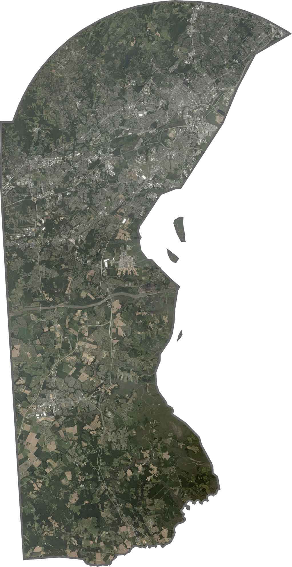
A satellite view of New Castle County highlights the dense urban development surrounding Wilmington, which contrasts sharply with the surrounding farmland and forested areas. The Chesapeake and Delaware (C&D) Canal is easily recognizable as a straight blue waterway stretching across the county’s southern portion.
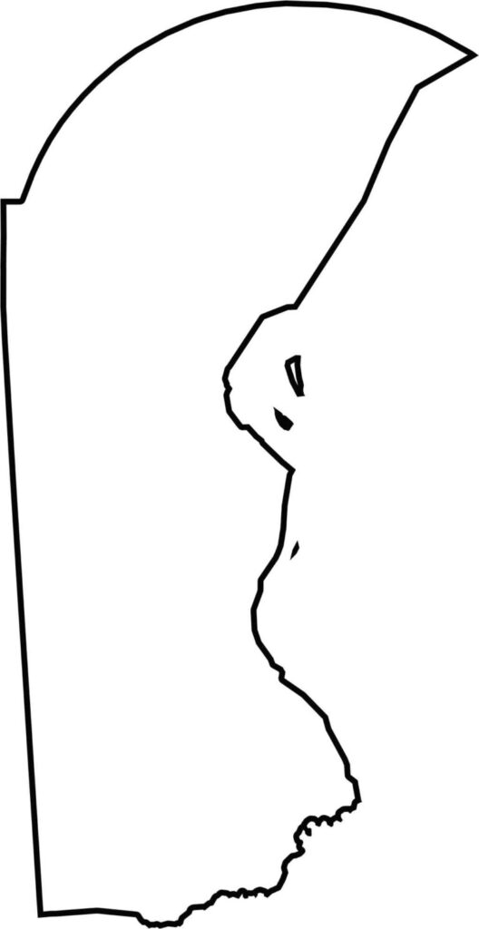
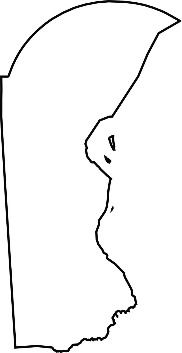
A blank map of New Castle County highlights its position at the northern tip of Delaware. The county features a distinctive curved northern boundary and a mostly straight southern edge, making its outline easy to recognize.
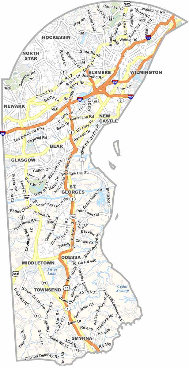
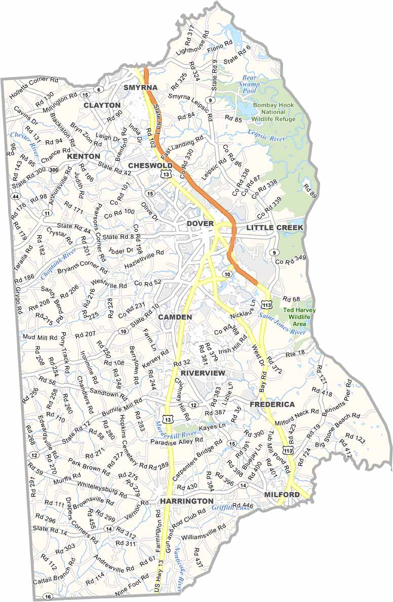

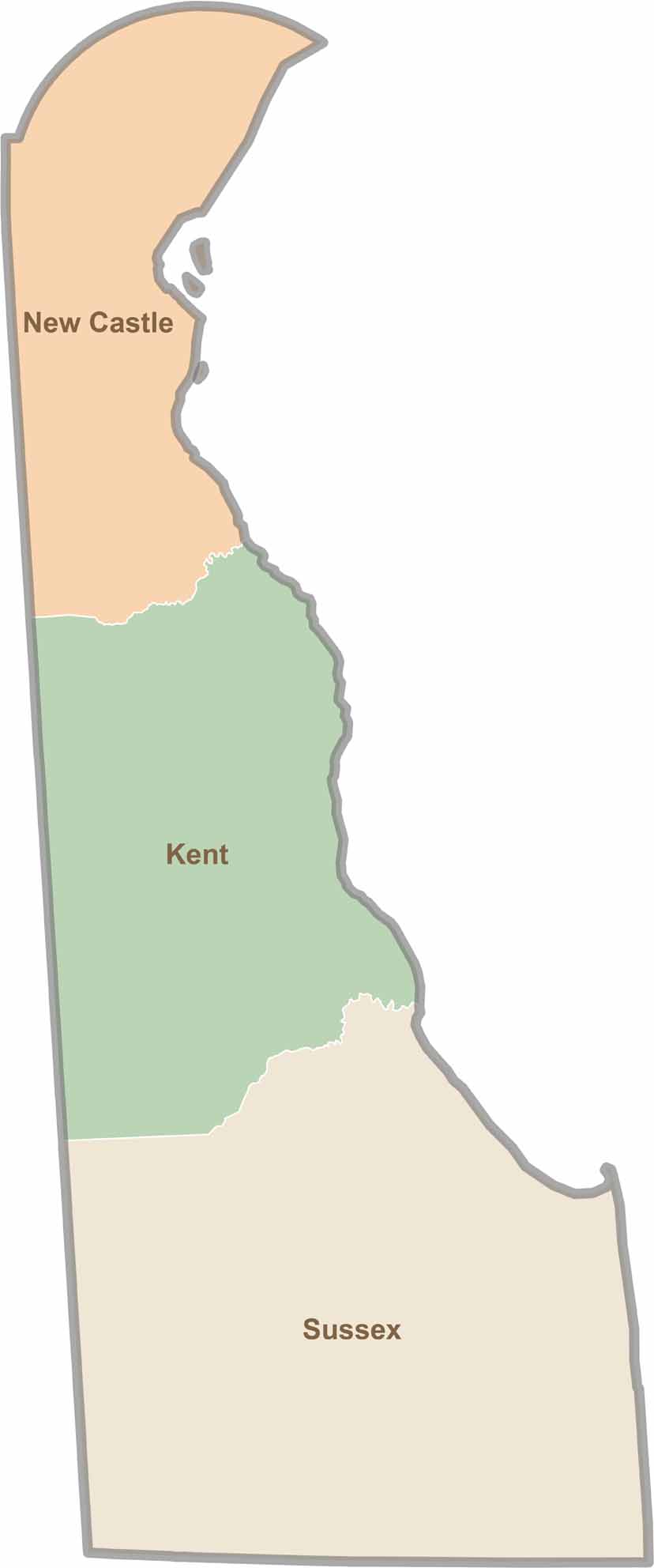
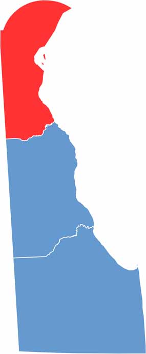
Explore Delaware’s three distinct counties and see precisely where New Castle, Kent, and Sussex begin and end. This Delaware county map clearly outlines each boundary, making it easy to understand the state’s geography at a glance. It’s a helpful resource for anyone looking to get a clearer picture of how Delaware is organized.