
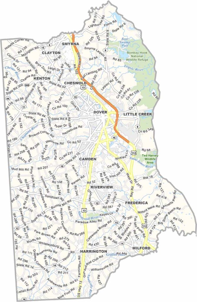
Located in the heart of Delaware, Kent County offers a welcoming small-town atmosphere surrounded by scenic farmland. It is quieter and more laid-back than neighboring New Castle County, while the state's beautiful beaches are only a short drive away.
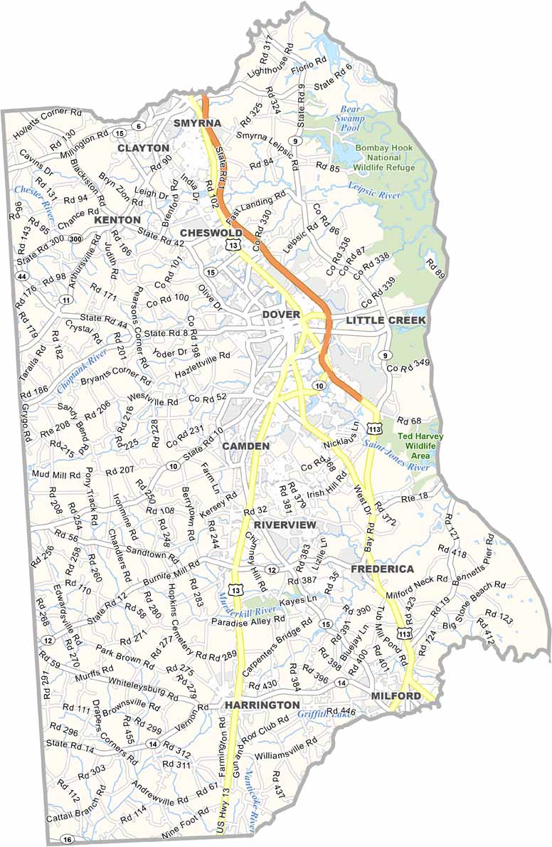
The county is home to Dover, Delaware’s capital city, where history comes alive through landmarks connected to the American Revolution and the Civil War. The presence of Dover Air Force Base also adds a strong sense of military heritage to the community.
Every July, the Delaware State Fair brings Harrington to life with entertainment, agriculture, and family-friendly events. Although Kent County embraces a slower pace of life, it’s full of charm, rich history, and unique local character.
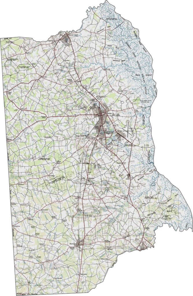
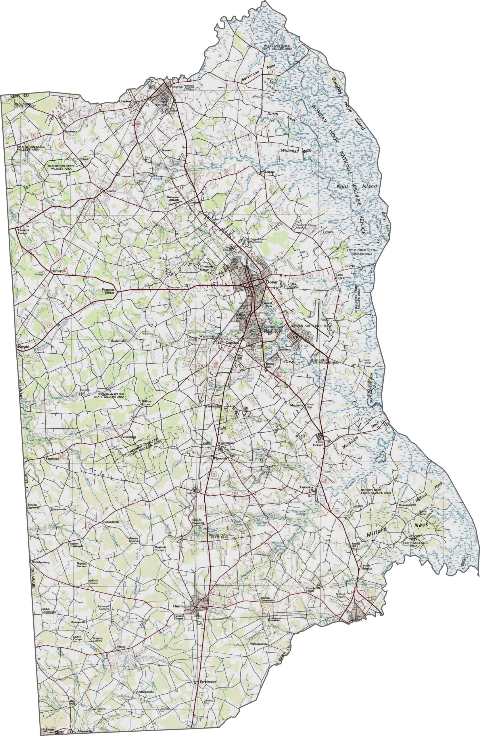
Kent County is characterized by broad, flat coastal plains with very little variation in elevation. A network of streams, marshes, and wetlands weaves through the landscape as the terrain gradually slopes eastward toward the Delaware Bay.
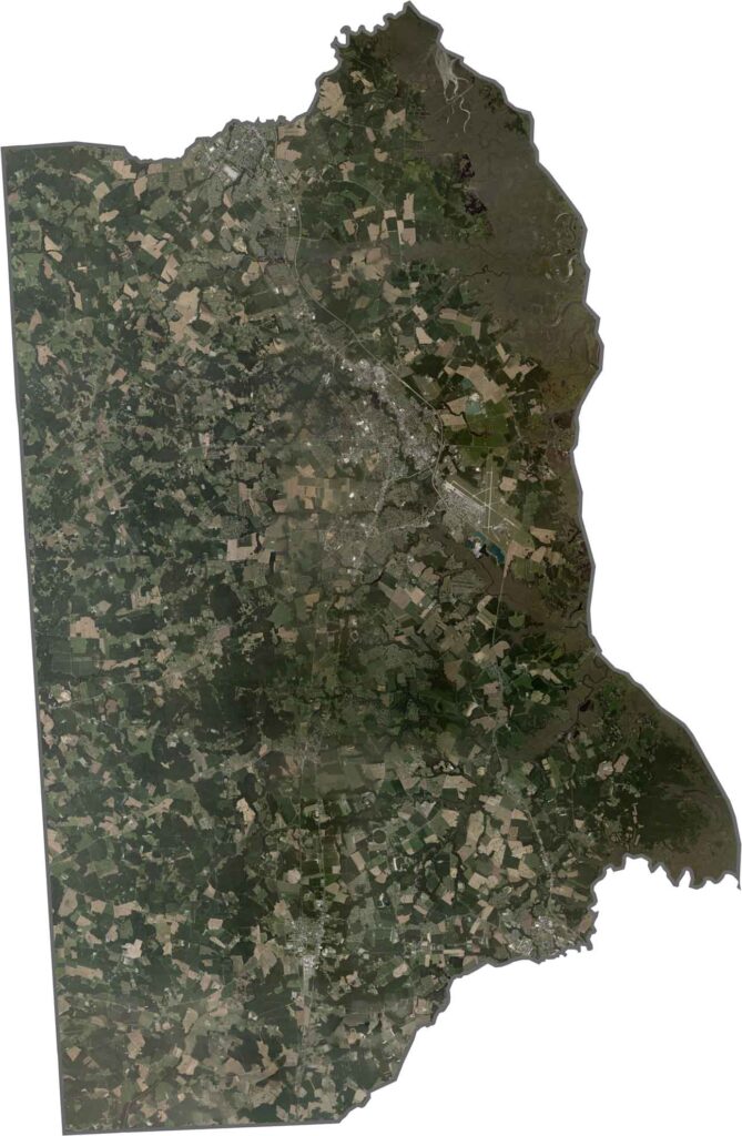
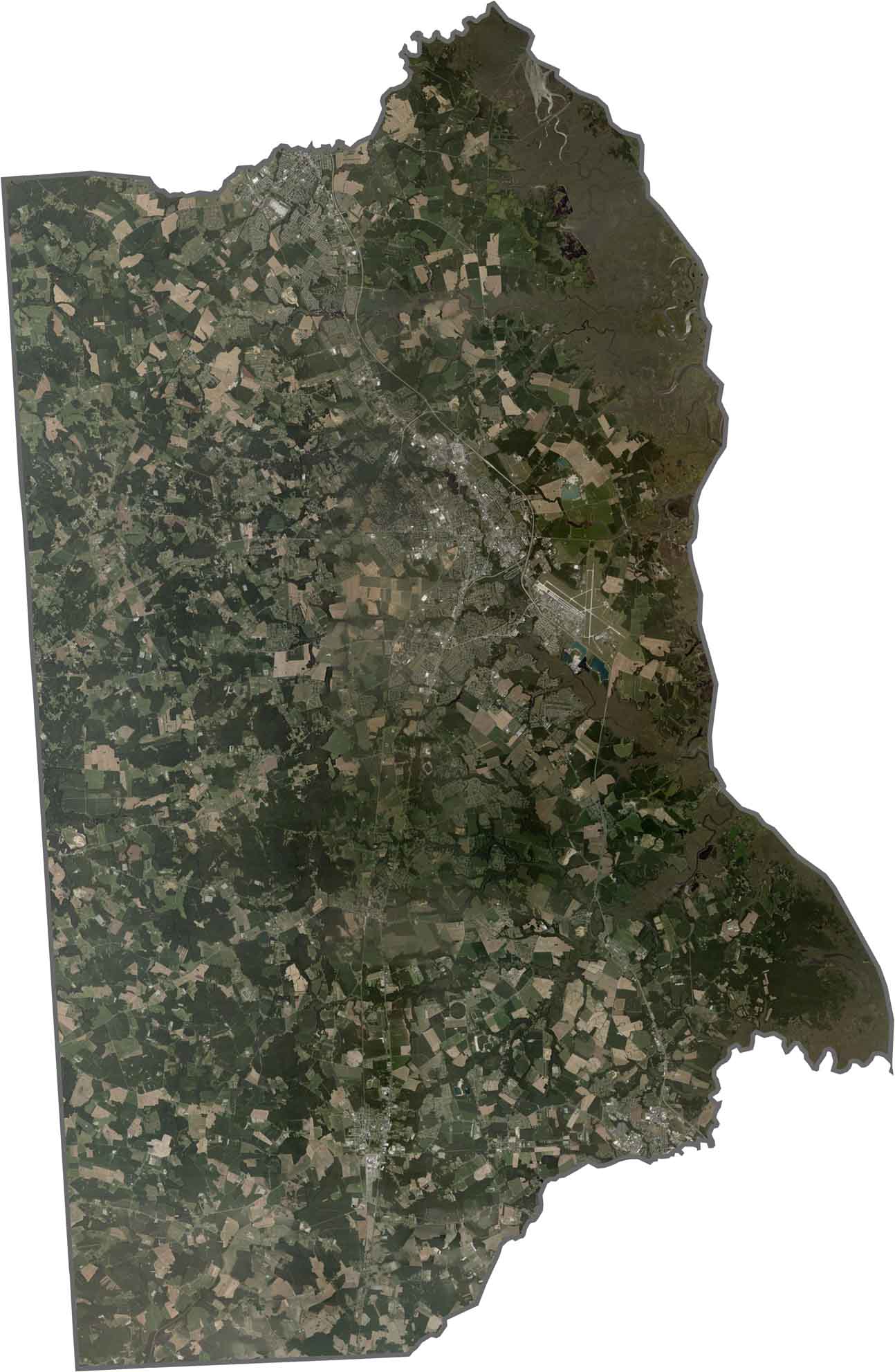
From above, Kent County is defined by a patchwork of agricultural fields that create a distinctive checkerboard pattern across the landscape. The city of Dover stands out as a concentrated gray urban area near the county's center, while wetlands form winding, irregular shapes along the eastern shoreline bordering the Delaware Bay.
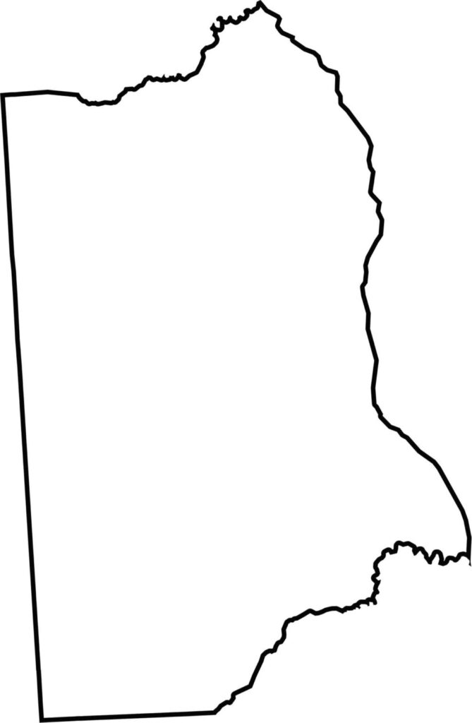
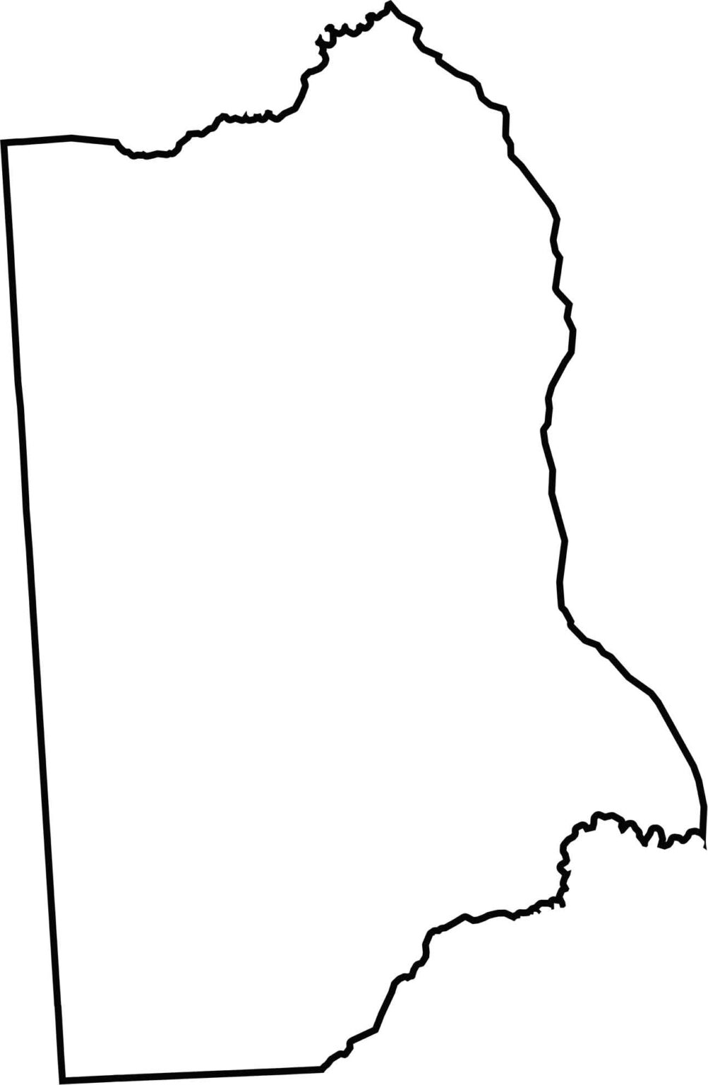
A blank map of Kent County highlights its simple, rectangular outline at the center of Delaware. The county features mostly straight western and eastern boundaries, with gentle curves along its eastern edge where it borders the Delaware Bay.

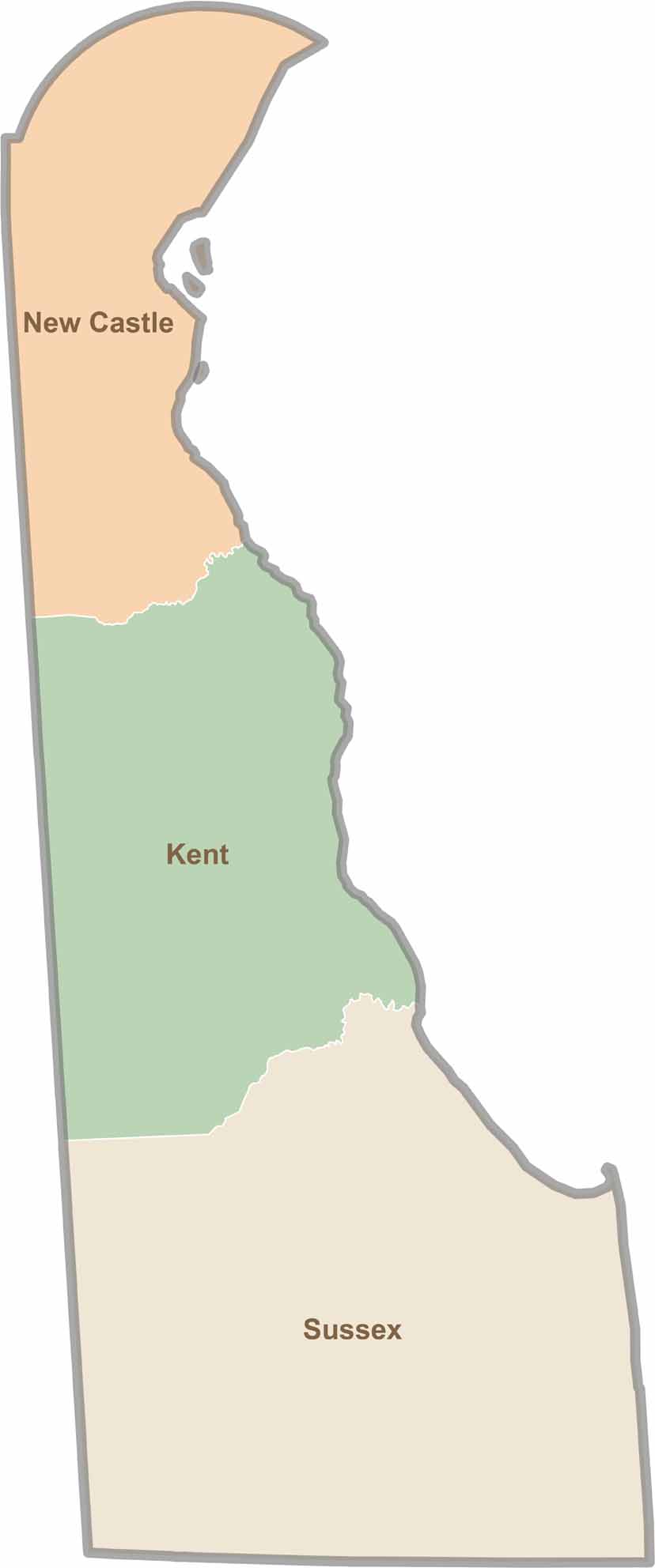
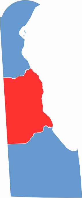
Explore Delaware’s three distinct counties and see precisely where New Castle, Kent, and Sussex begin and end. This Delaware county map clearly outlines each boundary, making it easy to understand the state’s geography at a glance. It’s a helpful resource for anyone looking to get a clearer picture of how Delaware is organized.