
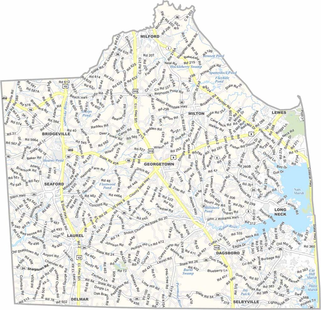
Sussex County forms Delaware’s southern region along the Atlantic coast. It is best known for its popular beach towns, including Rehoboth Beach and Bethany Beach, which attract large summer crowds.
Beyond the shoreline, the county opens into rural landscapes filled with small towns and vast fields of corn and soybeans. Lewes, proudly known as the “First Town in the First State,” highlights the area’s deep historical roots.
Life in Sussex moves at a slower, more relaxed pace. Nature lovers are drawn to places like Prime Hook National Wildlife Refuge, while the region is also valued for its dark, quiet night skies.
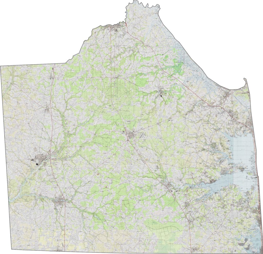
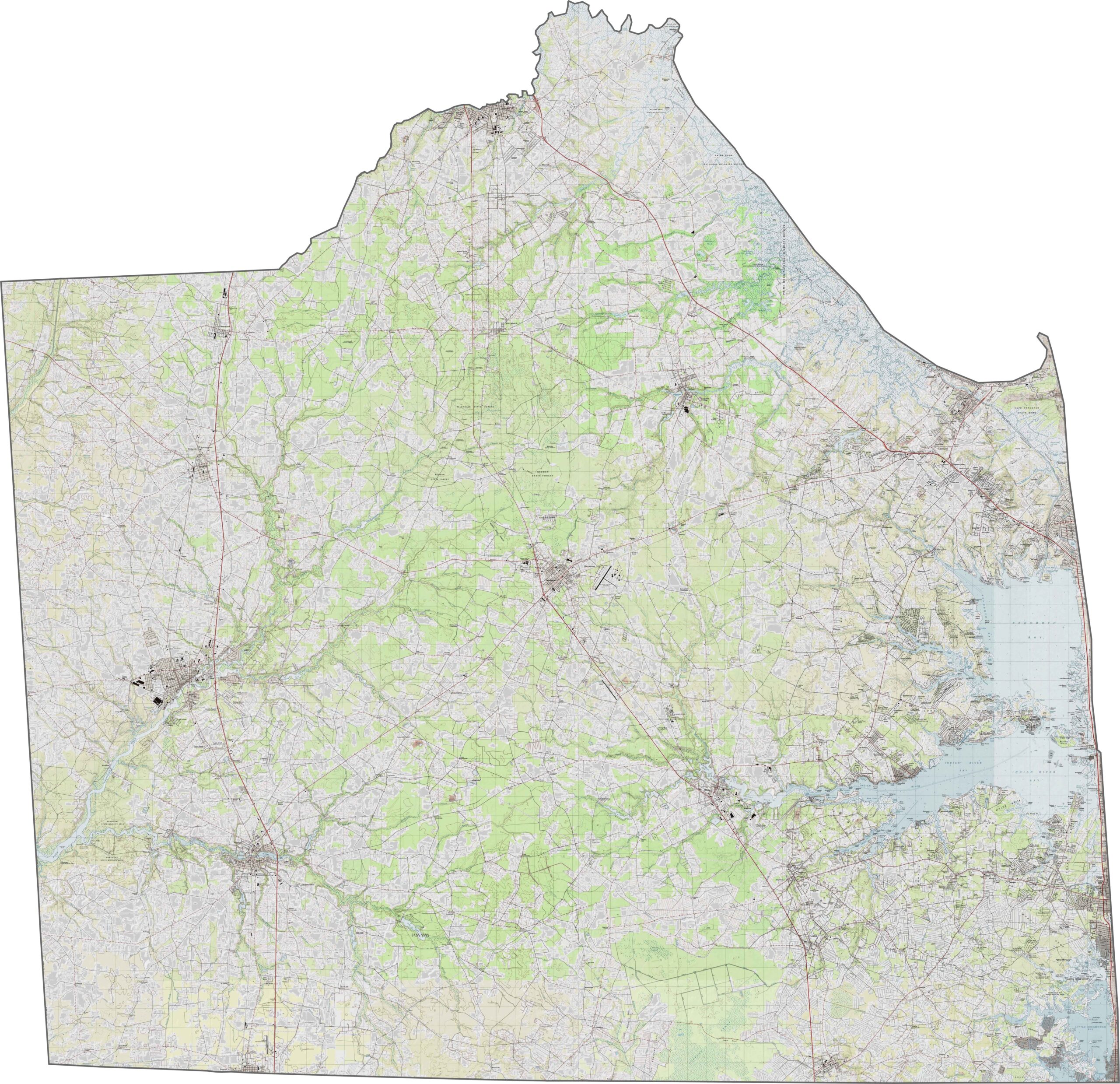
Delaware’s southernmost county is largely flat, with broad wetlands, inland bays, and coastal marshes shaping much of its eastern edge. In contrast, the western areas rise slightly into low sandy ridges that sit just above sea level.
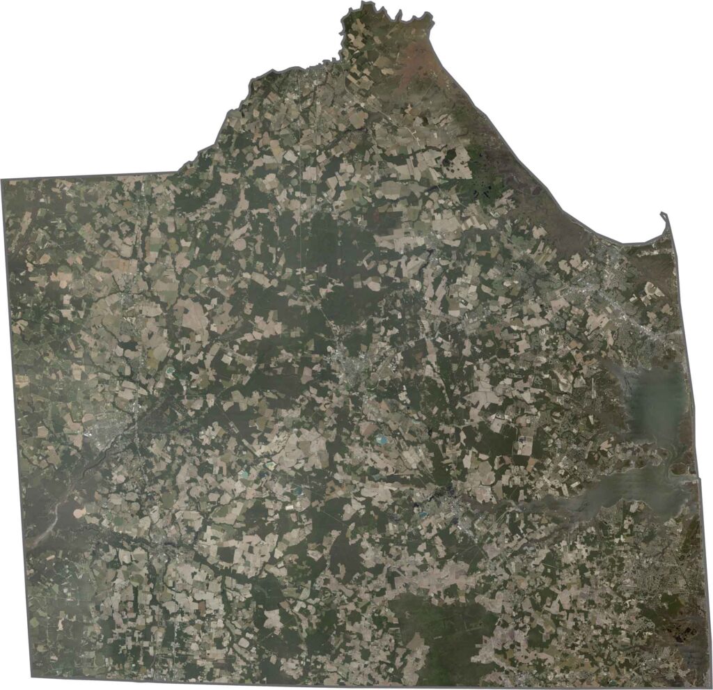
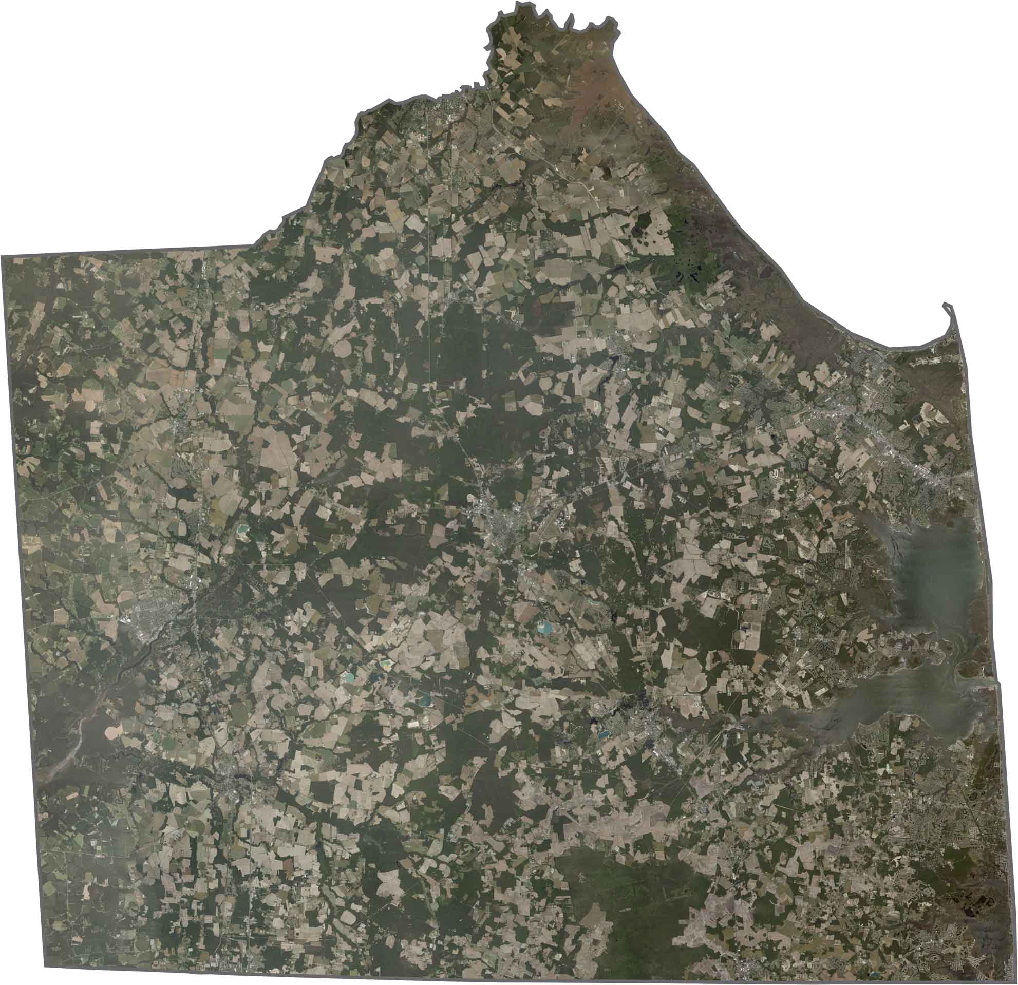
A satellite view of Sussex County reveals dark green forested areas in the west, set against the brighter, more developed coastal zones in the east. Inland bays stand out as irregular blue formations, bordered by extensive marshlands that shape much of the surrounding landscape.
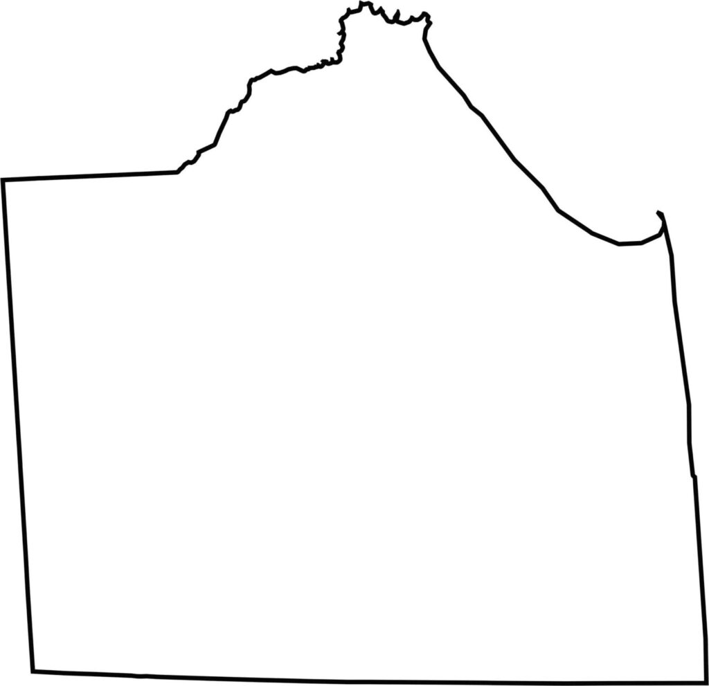
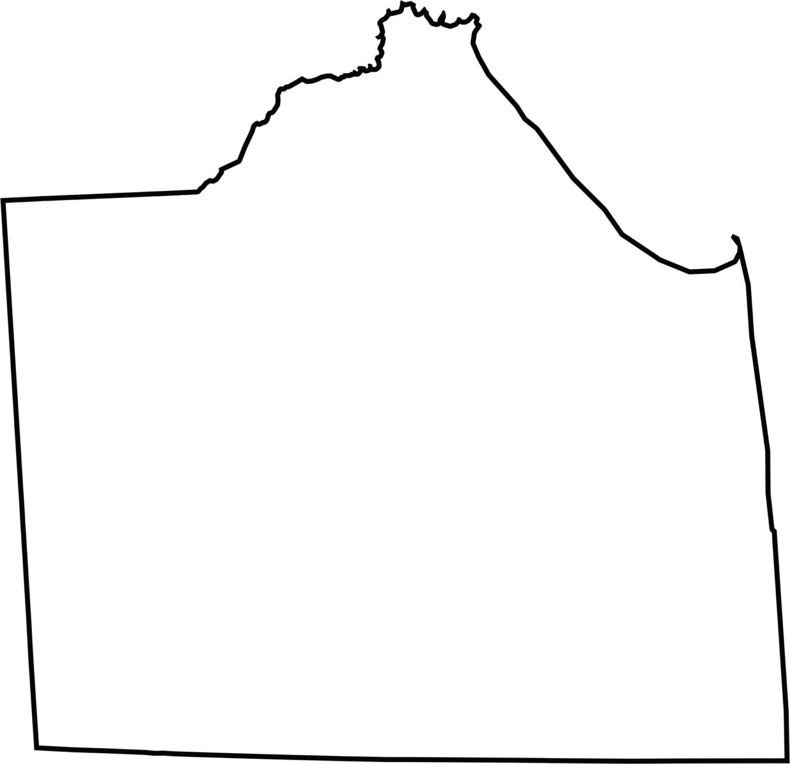
A blank map of Sussex County highlights its location at the southern end of Delaware, with generally straight western and eastern boundaries. The outline also shows distinctive coastal indentations along its southeastern edge where the county meets the Atlantic coastline.
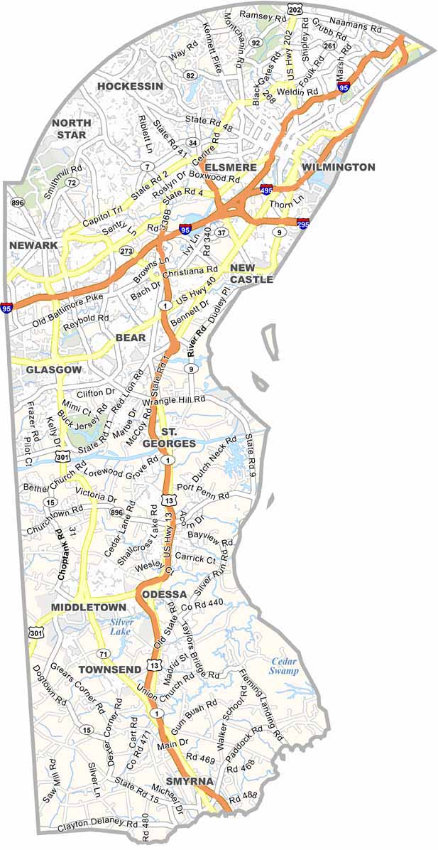
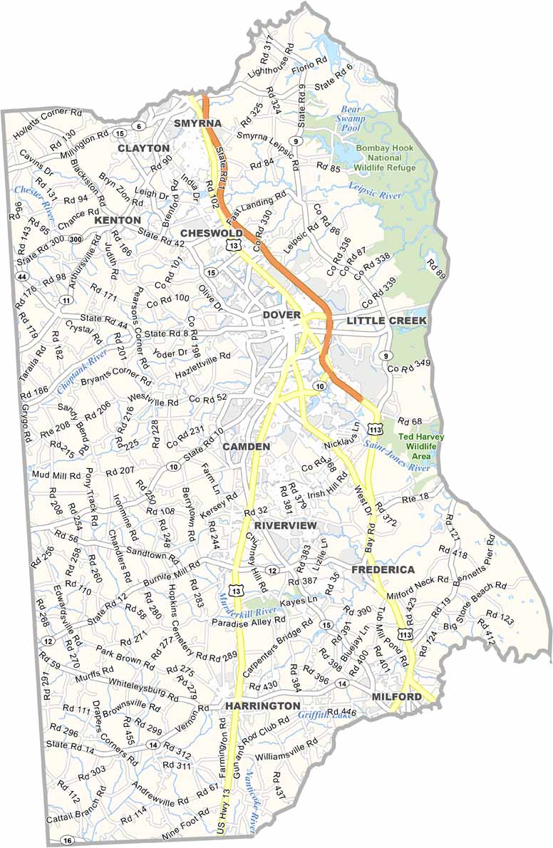
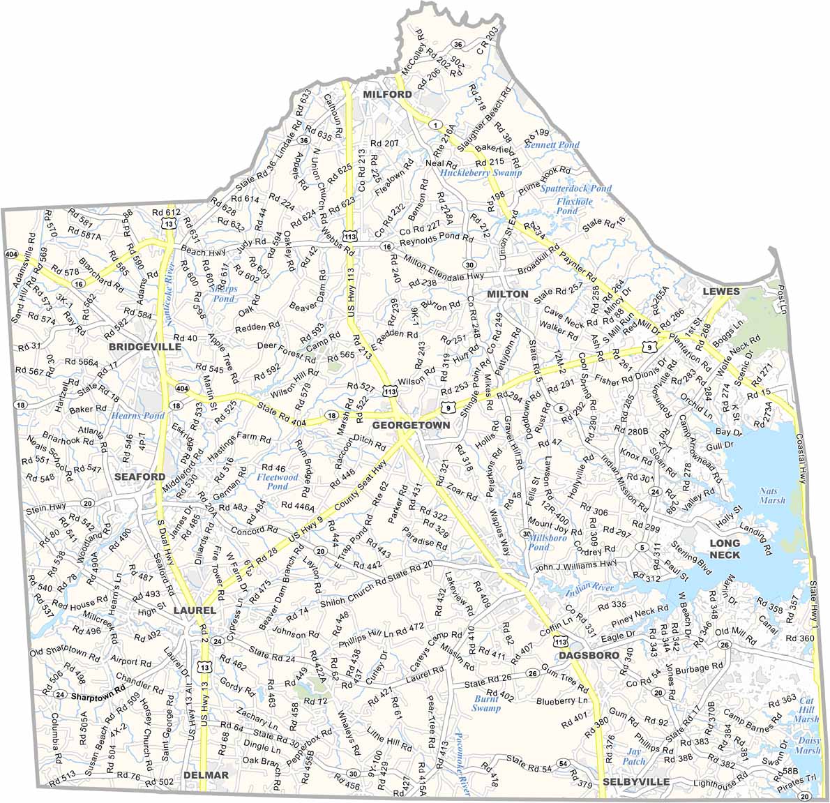
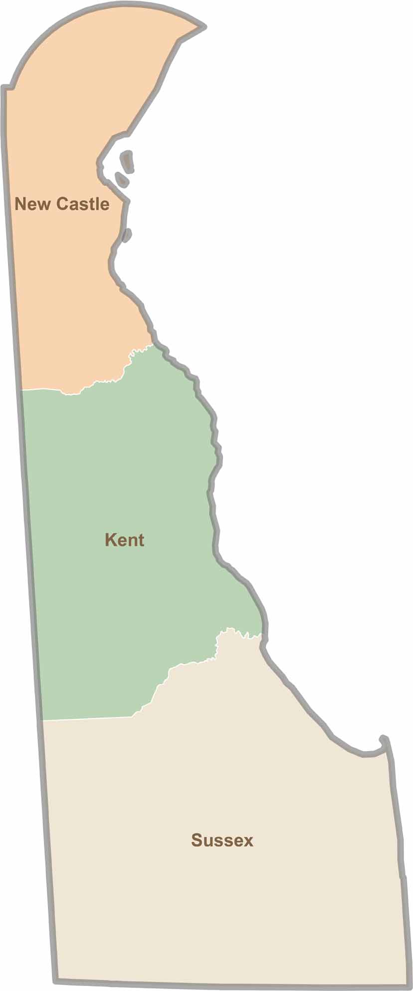
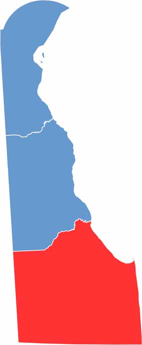
Explore Delaware’s three distinct counties and see precisely where New Castle, Kent, and Sussex begin and end. This Delaware county map clearly outlines each boundary, making it easy to understand the state’s geography at a glance. It’s a helpful resource for anyone looking to get a clearer picture of how Delaware is organized.